Barton's Spinney
Wood, Forest in Bedfordshire
England
Barton's Spinney
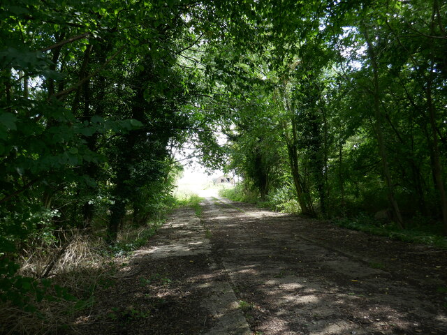
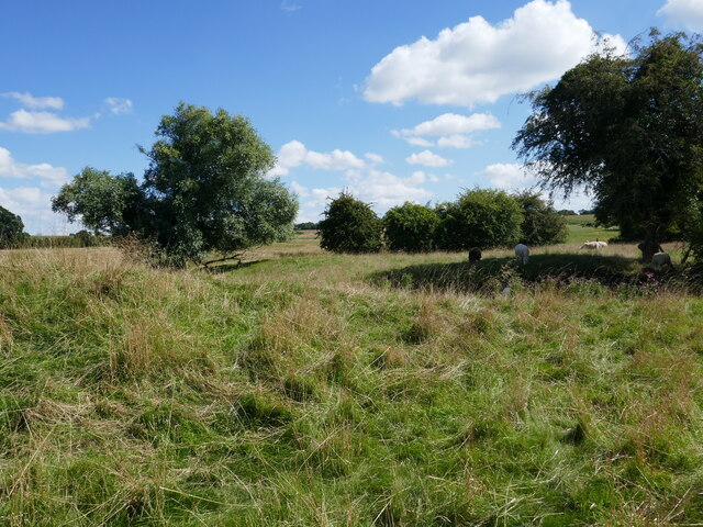
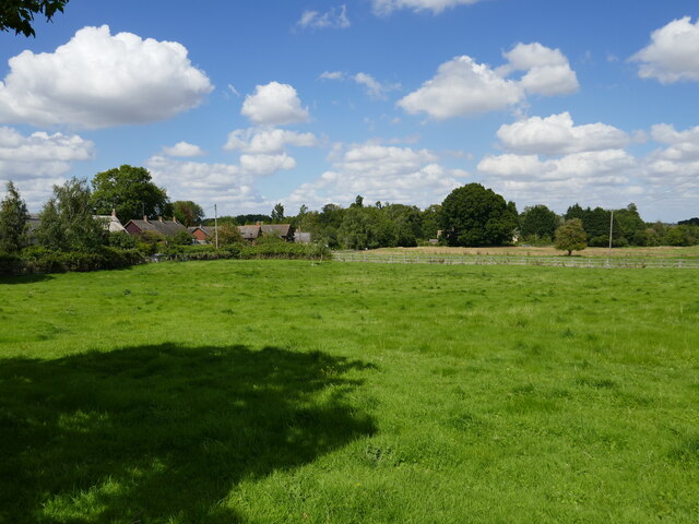
Barton's Spinney is a picturesque woodland located in the county of Bedfordshire, England. Covering an area of approximately 20 acres, it is known for its natural beauty and diverse range of flora and fauna. The spinney is situated in the village of Barton-le-Clay, offering a peaceful retreat from the bustling city life.
The woodland is predominantly made up of a mixture of broadleaf trees, including oak, ash, and beech, creating a dense canopy that provides shade and shelter for a variety of wildlife. The forest floor is adorned with a carpet of wildflowers, such as bluebells and primroses, adding a splash of color to the landscape during springtime.
Barton's Spinney is home to a rich assortment of wildlife. Bird enthusiasts can spot a range of species, including woodpeckers, nuthatches, and treecreepers. Mammals such as deer, foxes, and squirrels can also be seen roaming the woodland. The spinney is a popular spot for nature lovers and photographers, who come to capture the beauty of the surroundings.
In addition to its natural charm, Barton's Spinney boasts a network of well-maintained footpaths that allow visitors to explore the woodland at their own pace. These paths wind through the trees, offering glimpses of hidden clearings and secluded spots for picnics or simply enjoying the tranquility of the surroundings.
Overall, Barton's Spinney is a hidden gem in Bedfordshire, offering a peaceful and enchanting escape into nature. Its abundance of wildlife, stunning flora, and well-maintained pathways make it a must-visit destination for anyone seeking solace in the beauty of the natural world.
If you have any feedback on the listing, please let us know in the comments section below.
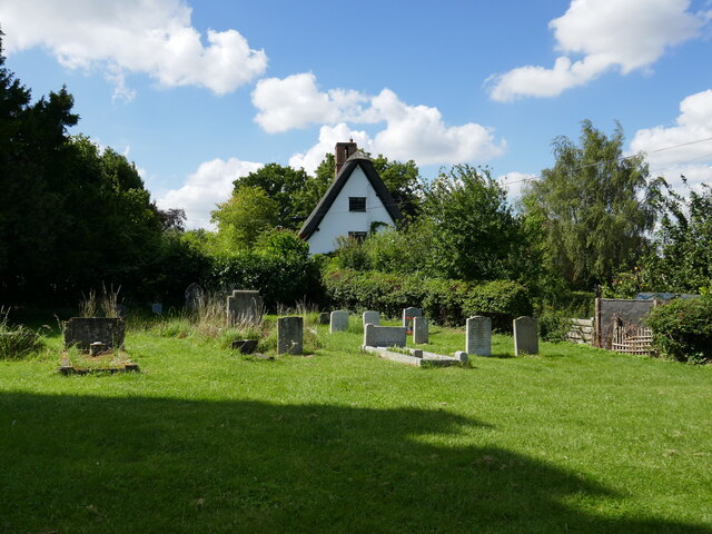
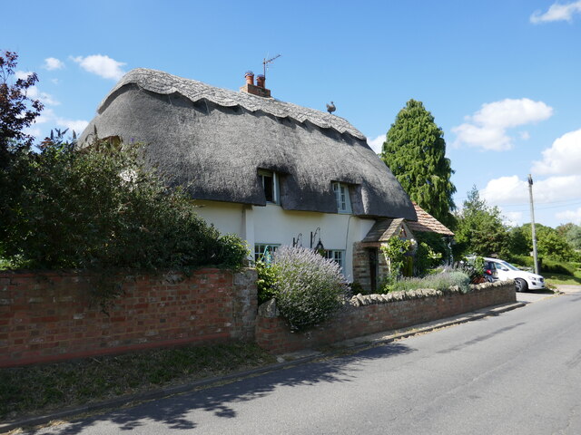
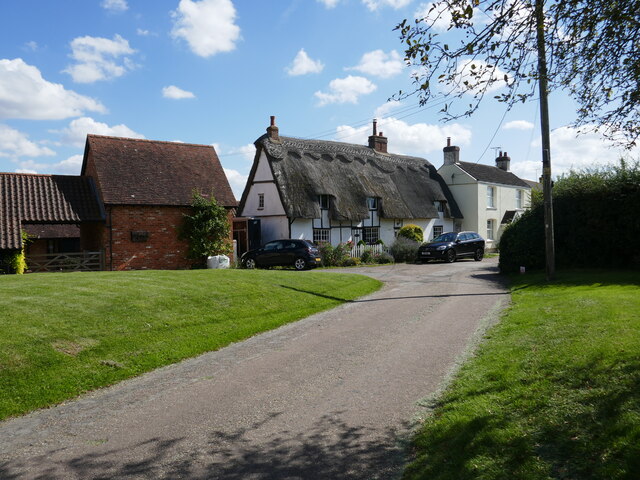
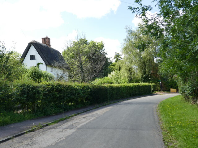
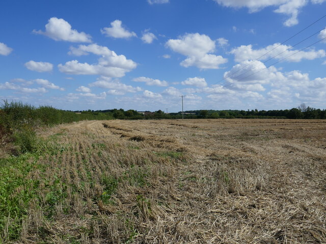
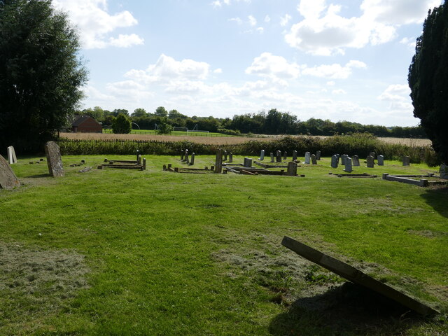
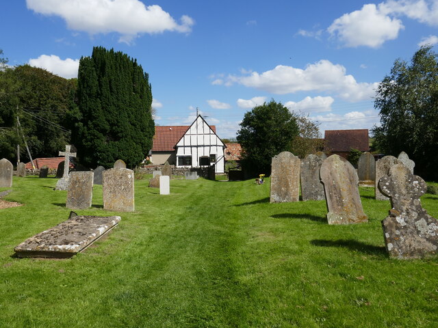
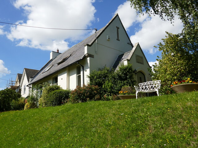
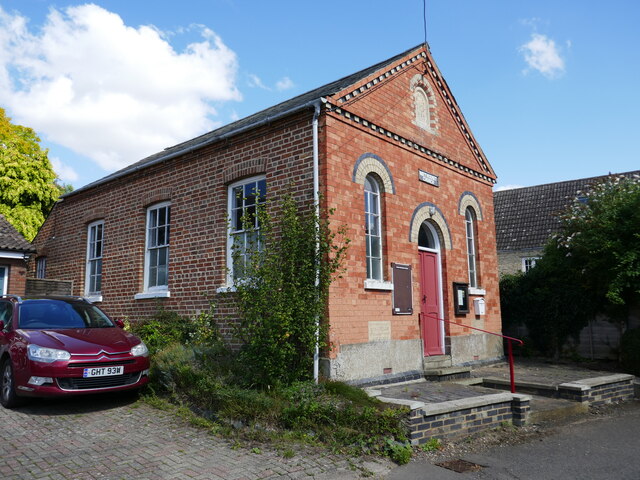
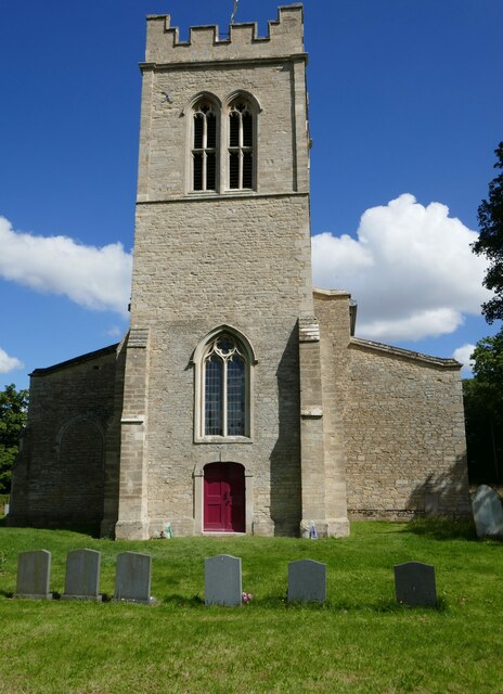
Barton's Spinney Images
Images are sourced within 2km of 52.280389/-0.5007952 or Grid Reference TL0265. Thanks to Geograph Open Source API. All images are credited.

Barton's Spinney is located at Grid Ref: TL0265 (Lat: 52.280389, Lng: -0.5007952)
Unitary Authority: Bedford
Police Authority: Bedfordshire
What 3 Words
///outermost.surface.risks. Near Riseley, Bedfordshire
Nearby Locations
Related Wikis

Melchbourne
Melchbourne is a village and former civil parish, now in the parish of Melchbourne and Yielden, in the Bedford district, in the ceremonial county of Bedfordshire...
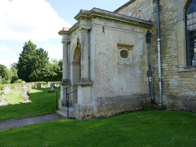
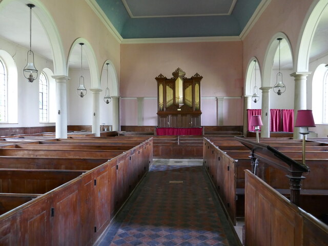
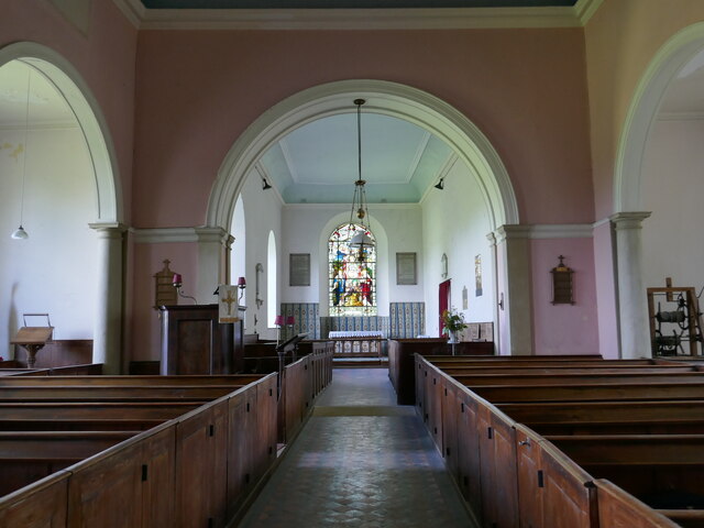
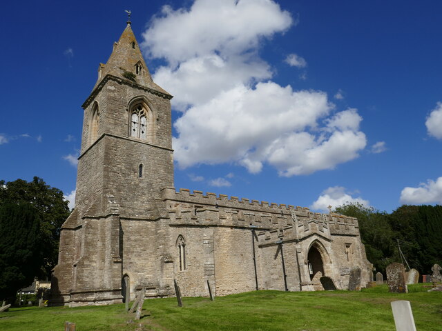
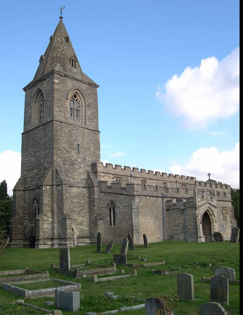
Church of St Mary Magdalene, Melchbourne
Church of St Mary Magdalene is a Grade I listed church in Melchbourne, Bedfordshire, England. It became a listed building on 13 July 1964. The church is...
Melchbourne and Yielden
Melchbourne and Yielden is a civil parish in the Borough of Bedford in the county of Bedfordshire, England. The two parishes of Melchbourne and Yelden...
Yelden
Yelden or Yielden is a village and former civil parish, now in the parish of Melchbourne and Yielden, in the Bedford district, in the ceremonial county...

Melchbourne Preceptory
Melchbourne Preceptory was a priory in Melchbourne, Bedfordshire, England. It was established in the 12th century and disestablished around 1550. ��2...

Yielden Castle
Yielden Castle was a twelfth-century castle located in Yelden in the county of Bedfordshire, England. == Details == Yielden Castle has also been known...
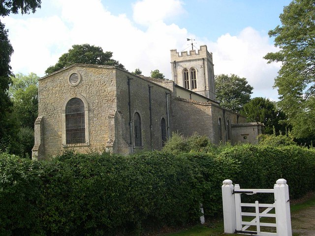
Church of St Mary the Virgin, Yielden
Church of St Mary the Virgin is a Grade I listed church in Yelden, Bedfordshire, England. It is a good example of a village church mainly in the Decorated...

Yelden Meadows
Yelden Meadows is a 2.8-hectare (6.9-acre) biological Site of Special Scientific Interest in Yelden (or Yeilden) in Bedfordshire. It was notified under...
Nearby Amenities
Located within 500m of 52.280389,-0.5007952Have you been to Barton's Spinney?
Leave your review of Barton's Spinney below (or comments, questions and feedback).