Wyburn Wood

Wood, Forest in Buckinghamshire

England

Wyburn Wood

St.Michael Church in Chenies from the east Chenies is a lovely village in rural Buckinghamshire
St.Michael Church in Chenies from the east Credit: Jonathan Dew

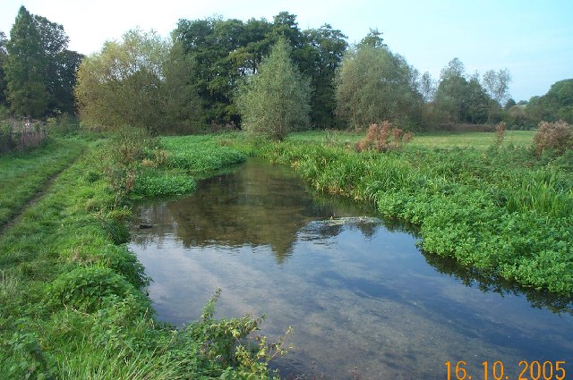
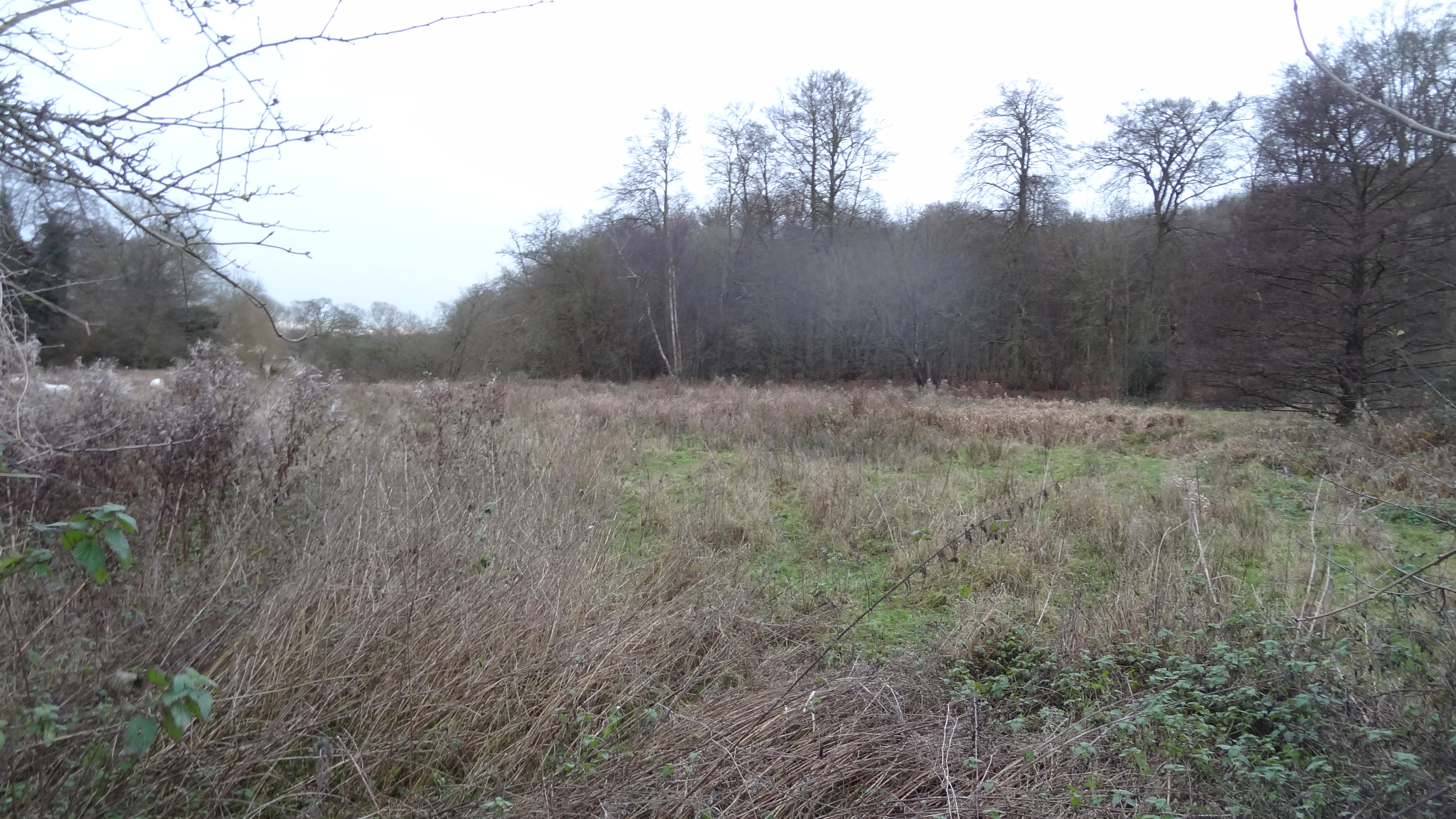
Wyburn Wood is a picturesque woodland located in the county of Buckinghamshire, England. Covering an area of approximately 300 acres, it is renowned for its natural beauty and rich biodiversity. The wood is situated on the outskirts of the village of Wyburn, which adds to its charm and accessibility.

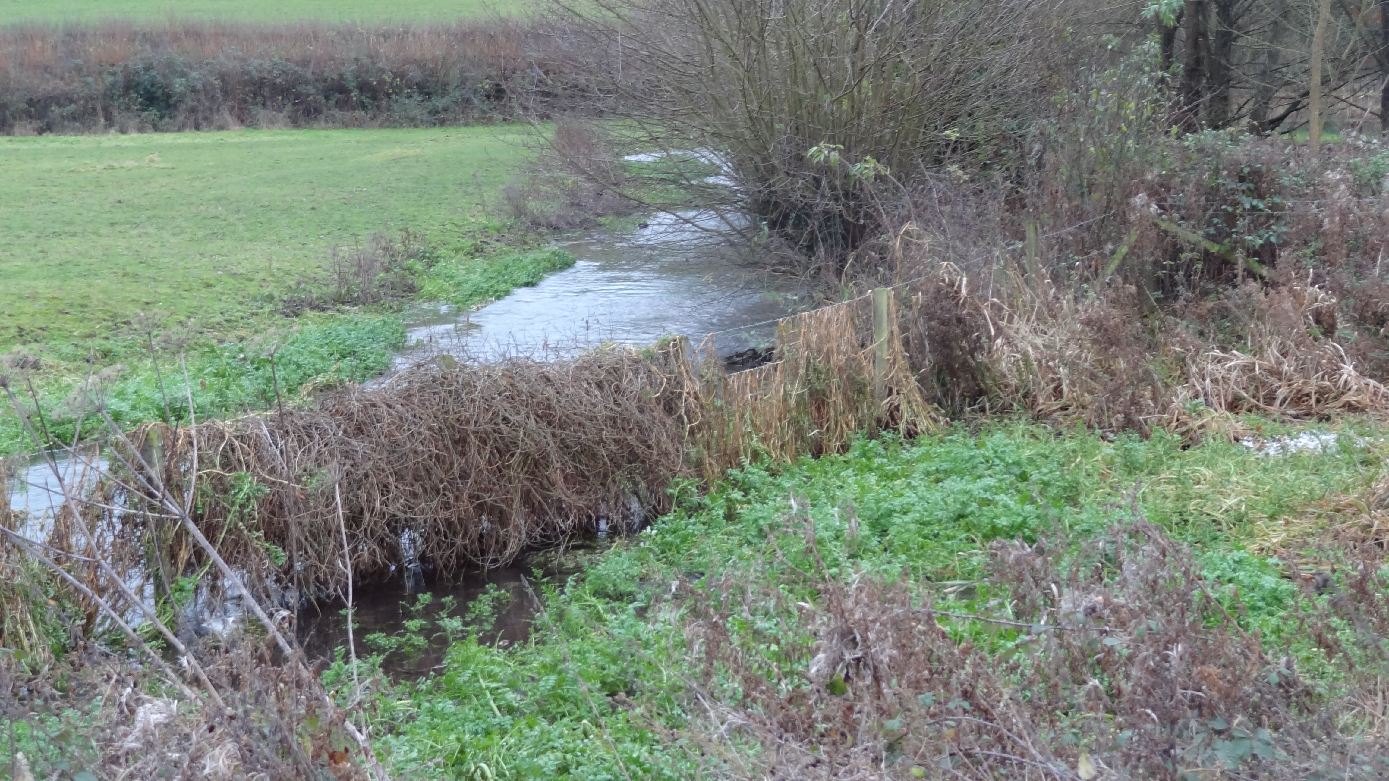
The woodland consists mainly of mixed deciduous trees, including oak, beech, and birch, which create a diverse and vibrant canopy. These trees provide a habitat for a wide range of wildlife, such as deer, foxes, and various bird species, making it a popular spot for nature enthusiasts and birdwatchers.

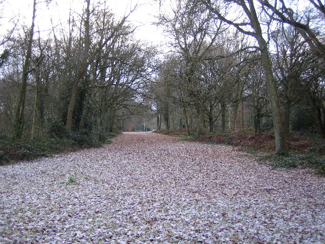
Wyburn Wood offers several walking trails that wind through its enchanting paths, allowing visitors to explore its peaceful surroundings. The trails are well-maintained and suitable for all fitness levels, making it an ideal destination for families and individuals alike.

In addition to its natural beauty, Wyburn Wood also has historical significance. The wood has been mentioned in historical records dating back to the 13th century, and remnants of ancient earthworks and boundary banks can still be found within its boundaries, adding an air of mystery and intrigue to the experience.

Visitors to Wyburn Wood can enjoy a tranquil escape from the hustle and bustle of everyday life, immersing themselves in the beauty of nature and the peacefulness of the forest. Whether it is for a leisurely walk, birdwatching, or simply enjoying the serenity of the surroundings, Wyburn Wood offers a delightful experience for nature lovers of all ages.

If you have any feedback on the listing, please let us know in the comments section below.
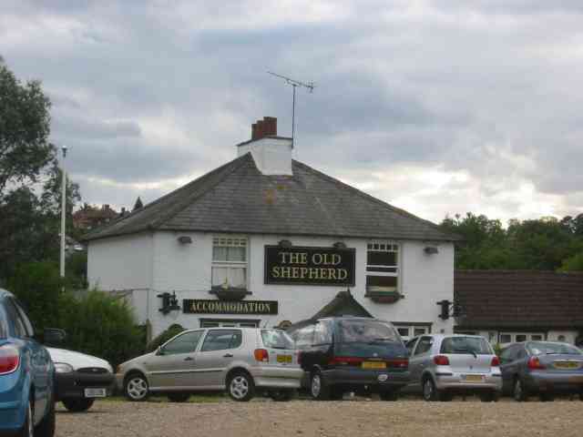
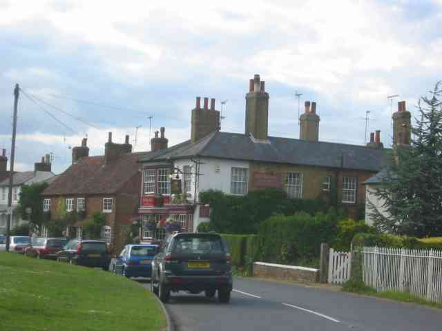
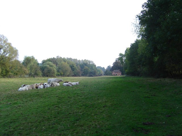
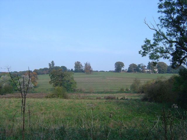
Wyburn Wood Images

Images are sourced within 2km of 51.670808/-0.52101911 or Grid Reference TQ0297. Thanks to Geograph Open Source API. All images are credited.

St.Michael Church in Chenies from the east Chenies is a lovely village in rural Buckinghamshire
St.Michael Church in Chenies from the east
Chenies is a lovely village in rural Buckinghamshire
Latimer, Buckinghamshire Looking west over the village green
Latimer, Buckinghamshire
Looking west over the village green
Railway station at Chorleywood This station entrance needs to be given an uplift
Railway station at Chorleywood
This station entrance needs to be given an uplift
The Old Shepherd Pub Chorleywood This is adjoining the railway but has a small green 
outside
The Old Shepherd Pub Chorleywood
This is adjoining the railway but has a small green outside
The Chapel at Chenies A simple workman-like building Notice the balcony
 balustrade visible through the top windows.
The Chapel at Chenies
A simple workman-like building Notice the balcony balustrade visible through the top windows.
Red Lion at Chenies. This section of road needs to be widened to allow 
safer passage of vehicles.A metre would be enough.
Red Lion at Chenies.
This section of road needs to be widened to allow safer passage of vehicles.A metre would be enough.
Sarratt Bottom The houses at the bottom end of Moor Lane viewed looking eastwards from Holloway Lane and the valley of the River Chess. Holloway Lane is on the Chess Valley Walk.
Sarratt Bottom
The houses at the bottom end of Moor Lane viewed looking eastwards from Holloway Lane and the valley of the River Chess. Holloway Lane is on the Chess Valley Walk.
Sarratt Bottom: Valley Farm Viewed looking northwards from Holloway Lane on the Chess Valley Walk.
Sarratt Bottom: Valley Farm
Viewed looking northwards from Holloway Lane on the Chess Valley Walk.
M25 Motorway from the Solesbridge Lane overbridge Viewed looking north at the stretch where a fourth lane has recently been constructed on an uphill section.
M25 Motorway from the Solesbridge Lane overbridge
Viewed looking north at the stretch where a fourth lane has recently been constructed on an uphill section.
River Chess watercress beds From the Chess Valley Walk official guide: "The clean warm waters of the Chess create ideal growing conditions for watercress, once a common crop along the river but now grown only here at Sarratt. Water from the Chess is diverted into a series of growing compartments - 'beds'. The cress takes root in the shallow beds, taking minerals from the calcium rich water. The flow is added to by spring water from deep in the aquifer which is at a constant temperature - about 10ºC. In years when the air temperature remains high enough the warm water allows cultivation right through the winter."
River Chess watercress beds
From the Chess Valley Walk official guide: "The clean warm waters of the Chess create ideal growing conditions for watercress, once a common crop along the river but now grown only here at Sarratt. Water from the Chess is diverted into a series of growing compartments - 'beds'. The cress takes root in the shallow beds, taking minerals from the calcium rich water. The flow is added to by spring water from deep in the aquifer which is at a constant temperature - about 10ºC. In years when the air temperature remains high enough the warm water allows cultivation right through the winter."
Mount Wood, Chenies View looking southwards along the footpath in Mount Wood running parallel to the River Chess.
Mount Wood, Chenies
View looking southwards along the footpath in Mount Wood running parallel to the River Chess.
A Pastoral Scene Looking south east towards North Hill, Chorleywood, this idyllic picture of rural tranquillity was marred by the constant roar of the traffic on the M25 motorway, about a kilometre away to the south east.
A Pastoral Scene
Looking south east towards North Hill, Chorleywood, this idyllic picture of rural tranquillity was marred by the constant roar of the traffic on the M25 motorway, about a kilometre away to the south east.
Strip lynchets, River Chess valley From the Chess Valley Walk Guide: "The terraced field rising up the valley side is thought to date from the 9th century.The characteristic steps, or ‘strip lynchets’, formed by the action of ploughing along the slope, may have been the site of mediaeval vineyards."
Strip lynchets, River Chess valley
From the Chess Valley Walk Guide: "The terraced field rising up the valley side is thought to date from the 9th century.The characteristic steps, or ‘strip lynchets’, formed by the action of ploughing along the slope, may have been the site of mediaeval vineyards."
River Chess, near Sarratt Bottom Viewed looking upstream and northwards, the river here appears to be in an artificial cut, as it does not flow in the lowest part of the valley, which is to the left of the photo.
River Chess, near Sarratt Bottom
Viewed looking upstream and northwards, the river here appears to be in an artificial cut, as it does not flow in the lowest part of the valley, which is to the left of the photo.
River Chess, near Sarrattmill Bridge Viewed looking upstream and northwards from opposite the Water Works.
River Chess, near Sarrattmill Bridge
Viewed looking upstream and northwards from opposite the Water Works.
River Chess, near Valley Farm Viewed looking downstream and eastwards from the footbridge by the Holloway Lane ford, the commercial watercress beds are beyond the shed, with the trees on the slope of Mount Wood visible to the right.
River Chess, near Valley Farm
Viewed looking downstream and eastwards from the footbridge by the Holloway Lane ford, the commercial watercress beds are beyond the shed, with the trees on the slope of Mount Wood visible to the right.
Sarratt: Almshouses, Church End Opposite the church in Church Lane, Sarratt, and built in 1821 by a local benefactor.
Sarratt: Almshouses, Church End
Opposite the church in Church Lane, Sarratt, and built in 1821 by a local benefactor.
Chorleywood Common Viewed looking south eastwards along one of the wide rides through the wood.
Chorleywood Common
Viewed looking south eastwards along one of the wide rides through the wood.
Show me another place!

Wyburn Wood is located at Grid Ref: TQ0297 (Lat: 51.670808, Lng: -0.52101911)

Unitary Authority: Buckinghamshire

Police Authority: Thames Valley

What 3 Words

///trader.bands.equal. Near Chorleywood, Hertfordshire

Nearby Locations

Chilton's Wood Wyburn Wood

Related Wikis

Chenies

Chenies is a village and civil parish in south-east Buckinghamshire, England. It is on the border with Hertfordshire, east of Amersham and north of Chorleywood...

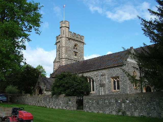
St Michael's, Chenies

St Michael's Church at Chenies, Buckinghamshire, is a Grade I listed Anglican parish church in the Diocese of Oxford in England. It is not of great architectural...

Chenies Manor House

Chenies Manor House in the parish of Chenies in Buckinghamshire, England, is a Tudor Grade I listed building once known as Chenies Palace, although it...

St Clement Danes School

St Clement Danes School is a mixed academy school in Chorleywood, Hertfordshire. == Admissions == St Clement Danes is a partially selective school, providing...

Frogmore Meadows

Frogmore Meadows is a 4.6-hectare (11-acre) biological Site of Special Scientific Interest in Hertfordshire and Buckinghamshire, north of the village of...

Sarratt Bottom nature reserve

Sarratt Bottom nature Reserve in Hertfordshire is a 3.2-hectare (7.9-acre) biological Site of Special Scientific Interest. The site is a meadow beside...

Chorleywood House Estate

Chorleywood House Estate is a 64.3 hectare Local Nature Reserve in Chorleywood in Hertfordshire. It is owned and managed by Three Rivers District Council...

Chorleywood Common

Chorleywood Common is a 75.6 hectare Local Nature Reserve in Chorleywood in Hertfordshire. It is owned and managed by Chorleywood Parish Council, and the...

Nearby Amenities

Located within 500m of 51.670808,-0.52101911
Ele Npe: 414 ft
Source: npe
Lat/Long: 51.6694767/-0.5236727
Bus Stop
Little Green Street Farm
Bus: yes
Local Ref: NR
Naptan AtcoCode: 210021803380
Naptan Bearing: S
Naptan CommonName: Little Green Street Farm
Naptan Crossing: opp Green Street Farm
Naptan Indicator: nr
Naptan Landmark: opp Green Street Farm
Naptan NaptanCode: hrtajawd
Naptan ShortCommonName: NA
Naptan Street: Green Street
Naptan Verified: no
Public Transport: platform
Source: naptan_import
Lat/Long: 51.6669641/-0.5211811
Bus Stop
Little Green Street Farm
Naptan AtcoCode: 210021805015
Naptan Bearing: N
Naptan CommonName: Little Green Street Farm
Naptan Crossing: Green Street Farm
Naptan Indicator: opp
Naptan Landmark: Green Street Farm
Naptan NaptanCode: hrtagtdm
Naptan ShortCommonName: NA
Naptan Street: Green Street
Naptan Verified: no
Public Transport: platform
Source: naptan_import
Lat/Long: 51.6675929/-0.52113
Barrier: unknown
Source: Bing
Lat/Long: 51.667771/-0.5201339
Power: pole
Lat/Long: 51.6736667/-0.5176347
Power: pole
Lat/Long: 51.6745761/-0.520708
Power: pole
Lat/Long: 51.6741785/-0.5193615
Power: pole
Lat/Long: 51.6732575/-0.5162909
Power: pole
Lat/Long: 51.6749225/-0.5218779
Power: pole
Lat/Long: 51.6738995/-0.5218157
Power: pole
Lat/Long: 51.6731996/-0.5228987
Little Green Street Farm
Place: farm
Source: OS_OpenData_StreetView
Lat/Long: 51.6674733/-0.520413
Give Way
Direction: backward
Lat/Long: 51.6696541/-0.5239588
Waste Basket
Waste: trash
Lat/Long: 51.6726388/-0.5256157
Bench
Backrest: yes
Lat/Long: 51.6719322/-0.5247353
Barrier: kissing_gate
Lat/Long: 51.6719835/-0.5260432
Barrier: kissing_gate
Lat/Long: 51.6718431/-0.52742
Barrier: kissing_gate
Lat/Long: 51.6719831/-0.5248976
Marketplace
Chorleywood Car Boot
Addr City: Rickmansworth
Addr Housename: Meadow Farm
Addr Postcode: WD3 6EB
Addr Street: Amersham Road
Addr Suburb: Chorleywood
Opening Hours: Sundays and Bank Holidays, Easter to September
Website: https://www.chorleywoodcarbootsale.co.uk/
Lat/Long: 51.6680063/-0.519069
Barrier: kissing_gate
Lat/Long: 51.6732318/-0.5254564
Barrier: kissing_gate
Lat/Long: 51.67147/-0.5218747
Barrier: kissing_gate
Lat/Long: 51.6716574/-0.5197439
Barrier: kissing_gate
Lat/Long: 51.6718994/-0.516726
Power: pole
Lat/Long: 51.6725332/-0.5239408
Give Way
Direction: forward
Lat/Long: 51.6678854/-0.5210939
Give Way
Direction: backward
Lat/Long: 51.6695394/-0.52368
Barrier: kissing_gate
Lat/Long: 51.6674323/-0.5196507
Direction: 205
Generator Method: photovoltaic
Generator Output Electricity: yes
Generator Solar Modules: 52
Generator Source: solar
Generator Type: solar_photovoltaic_panel
Location: roof
Power: generator
Tilt: 10
Lat/Long: 51.6672125/-0.5200768
Crossing
Lat/Long: 51.667647/-0.5202695
Crossing
Lat/Long: 51.6675866/-0.5210398
Crossing
Lat/Long: 51.6670378/-0.5211477
Waste Basket
Waste: dog_excrement
Lat/Long: 51.67483/-0.5192476
Direction: 160
Generator Method: photovoltaic
Generator Output Electricity: yes
Generator Solar Modules: 20
Generator Source: solar
Generator Type: solar_photovoltaic_panel
Location: roof
Power: generator
Lat/Long: 51.6750007/-0.5203394
The data included in this document is from www.openstreetmap.org. The data is made available under ODbL.

Have you been to Wyburn Wood?

Leave your review of Wyburn Wood below (or comments, questions and feedback).