Chaworth Copse
Wood, Forest in Surrey Runnymede
England
Chaworth Copse

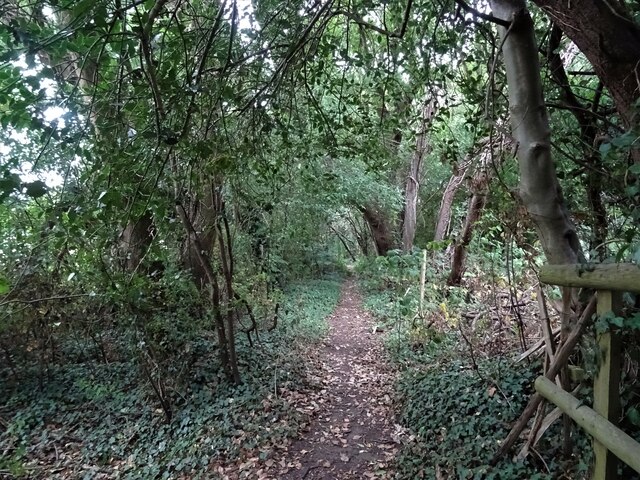
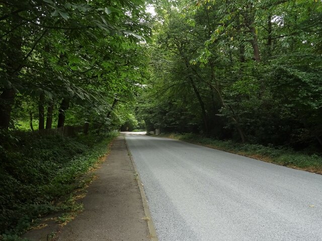
Chaworth Copse is a picturesque woodland located in the county of Surrey, England. It is nestled in the heart of the Surrey Hills Area of Outstanding Natural Beauty, known for its diverse and idyllic landscapes. The copse covers an area of approximately 50 acres and is predominantly composed of broadleaf trees such as oak, beech, and birch.
The woodland boasts a rich biodiversity, providing a habitat for a variety of wildlife species. Visitors to Chaworth Copse may encounter deer, foxes, rabbits, and a plethora of bird species, including woodpeckers and owls. The copse is also home to a diverse range of flora, with bluebells carpeting the forest floor in spring and vibrant autumnal foliage adorning the trees in the fall.
The woodland is crisscrossed by a network of well-maintained footpaths, allowing visitors to explore its natural beauty at their leisure. These paths wind through the copse, offering glimpses of tranquil ponds and babbling brooks along the way. Chaworth Copse is a popular destination for nature lovers, hikers, and photographers, who are drawn to its serene atmosphere and stunning vistas.
For those seeking a peaceful retreat, the copse provides several secluded spots, perfect for picnicking or simply immersing oneself in the sights and sounds of nature. The tranquility of Chaworth Copse makes it an ideal location for mindfulness and meditation, allowing visitors to escape the hustle and bustle of everyday life.
Overall, Chaworth Copse in Surrey is a beautiful woodland haven, offering a peaceful and immersive experience in the heart of nature.
If you have any feedback on the listing, please let us know in the comments section below.
Chaworth Copse Images
Images are sourced within 2km of 51.362683/-0.53095062 or Grid Reference TQ0263. Thanks to Geograph Open Source API. All images are credited.


Chaworth Copse is located at Grid Ref: TQ0263 (Lat: 51.362683, Lng: -0.53095062)
Administrative County: Surrey
District: Runnymede
Police Authority: Surrey
What 3 Words
///unwanted.moons.hotel. Near Ottershaw, Surrey
Nearby Locations
Related Wikis
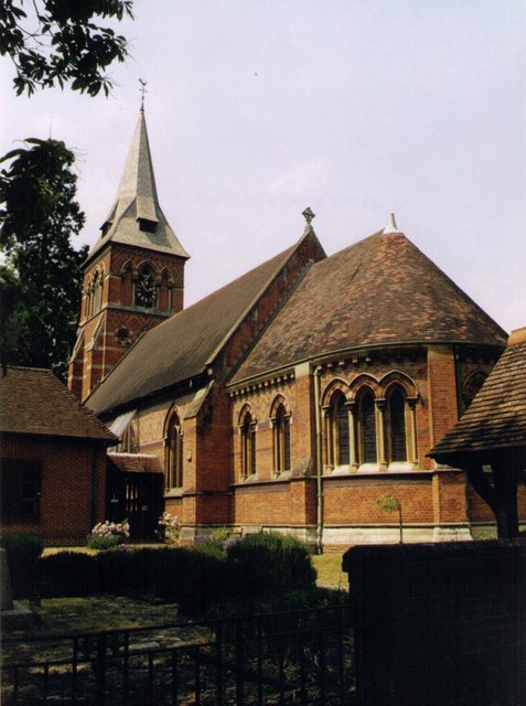
Christ Church, Ottershaw
Christ Church, Ottershaw is a Church of England church on Guildford Road in the village of Ottershaw in the Runnymede district of Surrey, England, about...
Ottershaw
Ottershaw is a village in the Borough of Runnymede in Surrey, England, approximately 32 km (20 mi) southwest of central London. The village developed in...

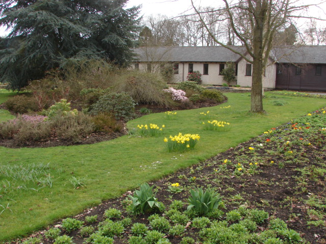
Ottershaw School
Ottershaw School was founded in 1948 as an English school for boys in Ottershaw Park, Ottershaw, approximately 30 miles (48 km) southwest of London between...
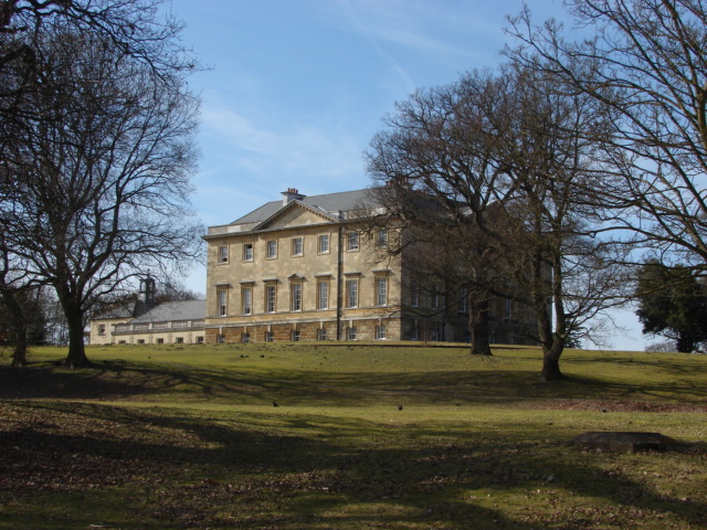
Botleys Mansion
Botleys Mansion is a Palladian mansion house in the south of Chertsey, Surrey, England, just south of St Peter's Hospital. The house was built in the...

Queenwood Golf Club
Queenwood Golf Club is a golf club near Ottershaw in Surrey, England. The club is only open to members and their guests.The club was developed by the American...
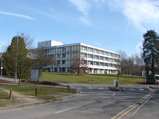
St Peter's Hospital, Chertsey
St Peter's Hospital is an NHS district general hospital in Chertsey, Surrey, England. It has 400 beds and a wide range of acute care services, including...
Foxhills Golf Club
Foxhills is a golf club and resort located in Ottershaw, Surrey, United Kingdom. It was established in 1975 and named for Charles James Fox on whose former...
Jubilee High School
Jubilee High School is a coeducational secondary school with academy status, located in Addlestone, Surrey, England. The school holds Artsmark Gold Award...
Nearby Amenities
Located within 500m of 51.362683,-0.53095062Have you been to Chaworth Copse?
Leave your review of Chaworth Copse below (or comments, questions and feedback).