Hillands Plantation
Wood, Forest in Bedfordshire
England
Hillands Plantation
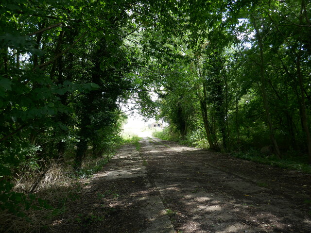
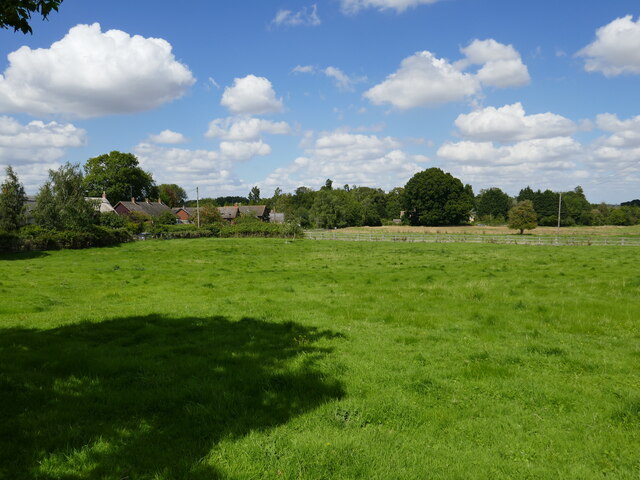
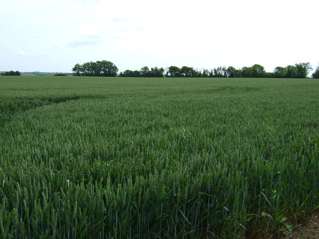
Hillands Plantation, located in Bedfordshire, England, is a sprawling woodland area renowned for its natural beauty and diverse flora and fauna. Covering an expansive area, the plantation is a haven for nature enthusiasts and outdoor adventurers alike.
The plantation primarily consists of well-preserved woodland, dominated by a variety of tree species such as oak, beech, and birch. These trees create a dense canopy that provides shelter and habitat for a wide range of wildlife. Visitors to Hillands Plantation can expect to encounter an array of bird species, including woodpeckers, owls, and various songbirds. Mammals such as deer, foxes, and rabbits are also commonly sighted throughout the woodland.
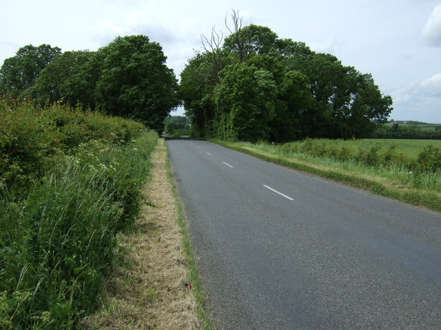
The plantation is crisscrossed by a network of walking trails, allowing visitors to explore the area and immerse themselves in the serene surroundings. These well-maintained paths wind through the enchanting woodland, offering stunning views of the surrounding countryside and opportunities for peaceful reflection.
In addition to its natural beauty, Hillands Plantation also boasts a rich history. It is believed to have been used as a hunting ground by the local nobility in medieval times. Remnants of old structures, such as stone walls and foundations, can still be found within the woodland, adding a touch of mystery and intrigue to the area.
Overall, Hillands Plantation is a captivating destination for those seeking solace in nature. Its picturesque woodland, abundant wildlife, and fascinating history make it an ideal spot for outdoor enthusiasts and nature lovers to explore and appreciate the wonders of the natural world.
If you have any feedback on the listing, please let us know in the comments section below.
Hillands Plantation Images
Images are sourced within 2km of 52.274853/-0.49816779 or Grid Reference TL0265. Thanks to Geograph Open Source API. All images are credited.


Hillands Plantation is located at Grid Ref: TL0265 (Lat: 52.274853, Lng: -0.49816779)
Unitary Authority: Bedford
Police Authority: Bedfordshire
What 3 Words
///creamed.clicker.struck. Near Riseley, Bedfordshire
Nearby Locations
Related Wikis
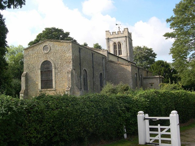
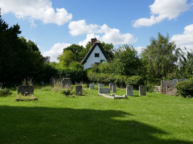
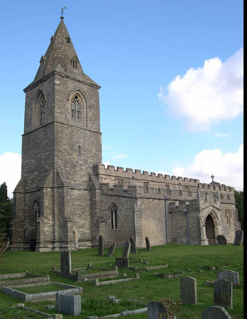
Church of St Mary Magdalene, Melchbourne
Church of St Mary Magdalene is a Grade I listed church in Melchbourne, Bedfordshire, England. It became a listed building on 13 July 1964. The church is...

Melchbourne Preceptory
Melchbourne Preceptory was a priory in Melchbourne, Bedfordshire, England. It was established in the 12th century and disestablished around 1550. ��2...

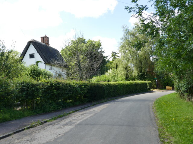
Melchbourne
Melchbourne is a village and former civil parish, now in the parish of Melchbourne and Yielden, in the Bedford district, in the ceremonial county of Bedfordshire...
Melchbourne and Yielden
Melchbourne and Yielden is a civil parish in the Borough of Bedford in the county of Bedfordshire, England. The two parishes of Melchbourne and Yelden...
Yelden
Yelden or Yielden is a village and former civil parish, now in the parish of Melchbourne and Yielden, in the Bedford district, in the ceremonial county...

Yielden Castle
Yielden Castle was a twelfth-century castle located in Yelden in the county of Bedfordshire, England. == Details == Yielden Castle has also been known...
Church of St Mary the Virgin, Yielden
Church of St Mary the Virgin is a Grade I listed church in Yelden, Bedfordshire, England. It is a good example of a village church mainly in the Decorated...
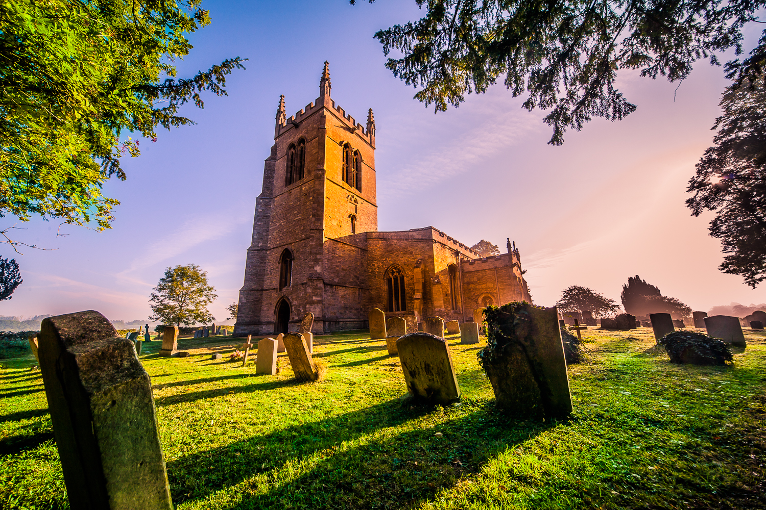
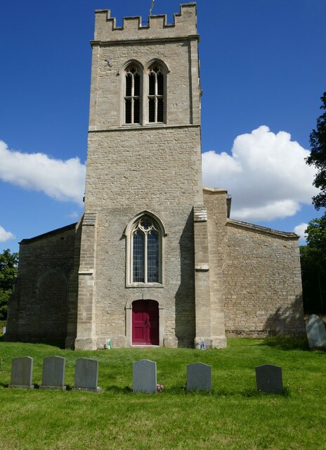
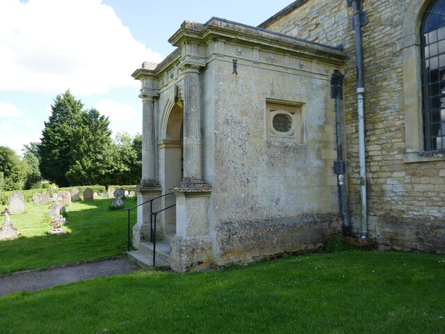
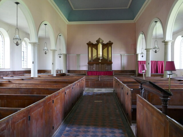
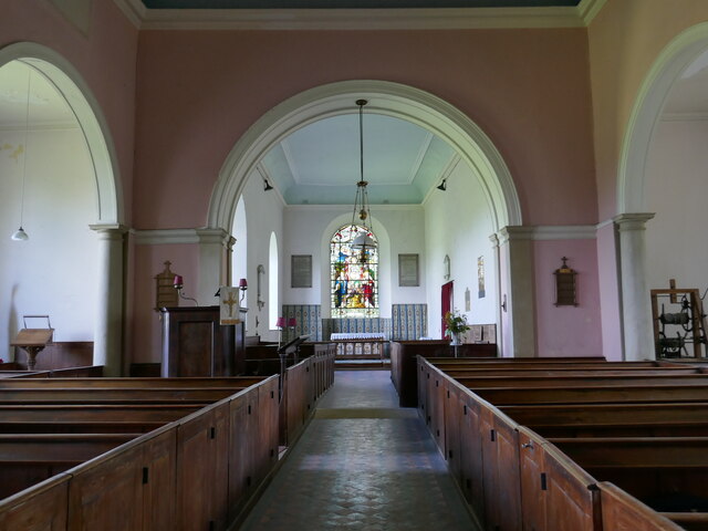
Church of All Saints, Riseley, Bedfordshire
Church of All Saints is a Grade I listed church in Riseley, Bedfordshire, England. It became a listed building on 13 July 1964.The tower, roofs and seating...
Nearby Amenities
Located within 500m of 52.274853,-0.49816779Have you been to Hillands Plantation?
Leave your review of Hillands Plantation below (or comments, questions and feedback).