Dartmouth Green
Wood, Forest in Surrey Woking
England
Dartmouth Green
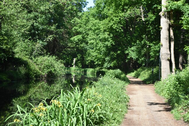
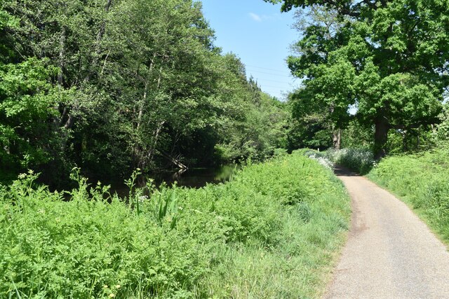
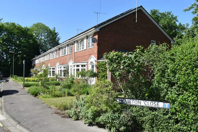
Dartmouth Green, Surrey, also known as Wood or Forest, is a picturesque area located in the southeastern part of England. This green space is situated within the larger town of Dartmouth, a vibrant and historic community known for its stunning natural surroundings.
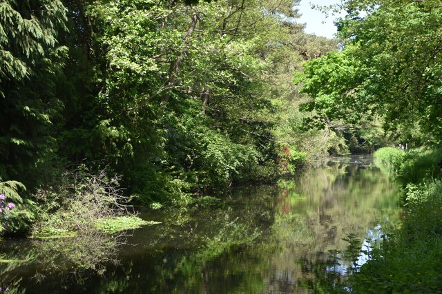
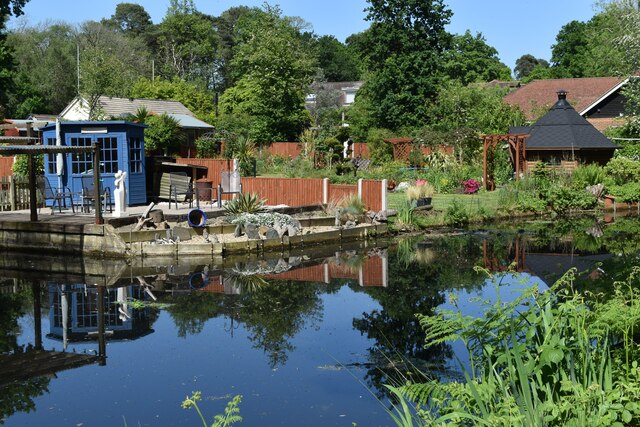
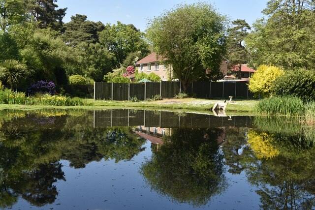
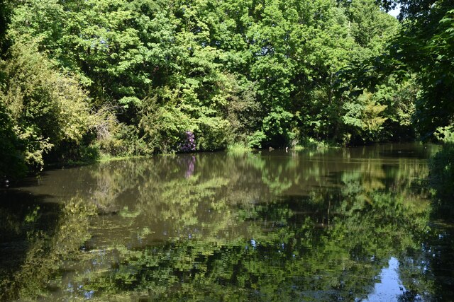
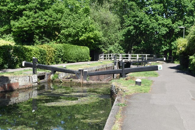
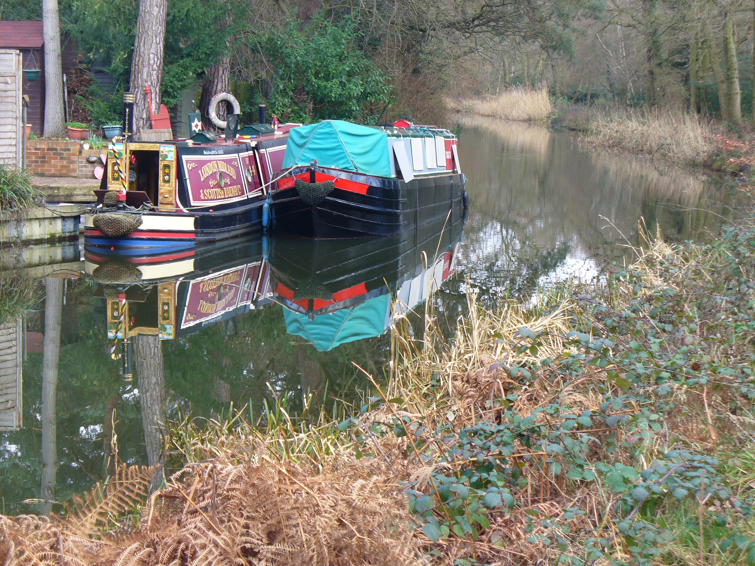
Dartmouth Green is a sprawling area of lush woodland, covering approximately 200 acres. It is characterized by its dense canopy of trees, predominantly comprising oak, beech, and birch. The forest floor is adorned with a rich carpet of ferns, wildflowers, and mosses, creating a serene and enchanting atmosphere.
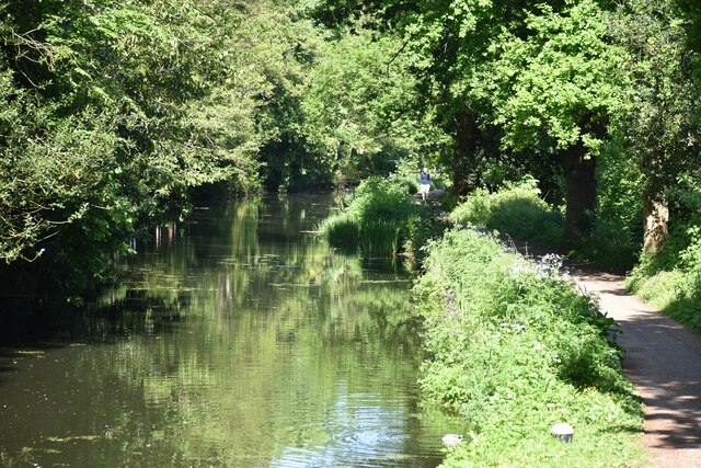
The green is a popular destination for nature enthusiasts, hikers, and families looking to escape the hustle and bustle of city life. It offers numerous walking trails that wind through the woods, providing visitors with the opportunity to explore and immerse themselves in the beauty of nature.
In addition to its natural wonders, Dartmouth Green is also home to a diverse array of wildlife. Birdwatchers can spot a variety of species, including woodpeckers, jays, and nuthatches, while small mammals such as squirrels and rabbits frequently dart through the undergrowth.
Furthermore, Dartmouth Green is not only a retreat for humans but also serves as an important habitat for various plant and animal species. The Surrey Wildlife Trust actively manages the area, ensuring the preservation and conservation of the forest's unique ecosystem.
Overall, Dartmouth Green, Surrey, is a tranquil haven where visitors can reconnect with nature and appreciate the beauty of the British countryside. With its abundant wildlife, stunning woodland, and scenic trails, it offers a serene escape for all who venture into its leafy embrace.
If you have any feedback on the listing, please let us know in the comments section below.
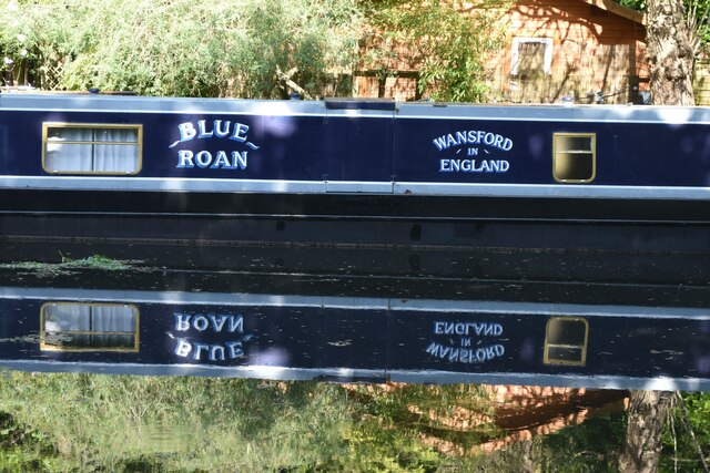
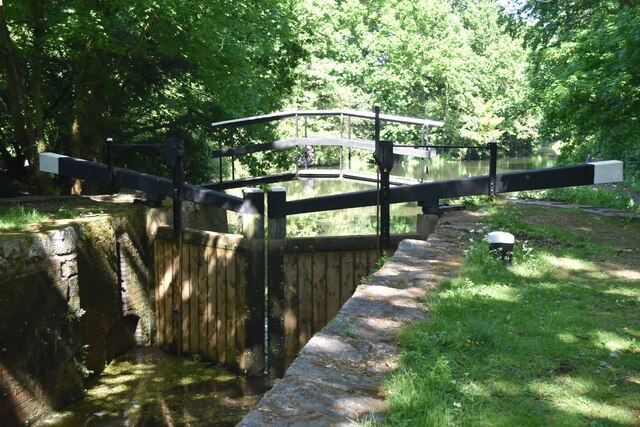
Dartmouth Green Images
Images are sourced within 2km of 51.332961/-0.52927378 or Grid Reference TQ0260. Thanks to Geograph Open Source API. All images are credited.


Dartmouth Green is located at Grid Ref: TQ0260 (Lat: 51.332961, Lng: -0.52927378)
Administrative County: Surrey
District: Woking
Police Authority: Surrey
What 3 Words
///lots.laying.finger. Near West Byfleet, Surrey
Nearby Locations
Related Wikis
Sheerwater
Sheerwater is a residential neighbourhood or small suburb of Woking, in the Woking district in Surrey, England, occasionally described as a village, between...

Bishop David Brown School
The Bishop David Brown School is a mixed academy status secondary school located in Sheerwater, (Woking), Surrey, England. == History == Formerly the Sheerwater...

Sheerwater F.C.
Sheerwater F.C. are a Non-League football club who are based in Sheerwater, in Woking, Surrey, England. They play their home fixtures at the Eastwood Centre...
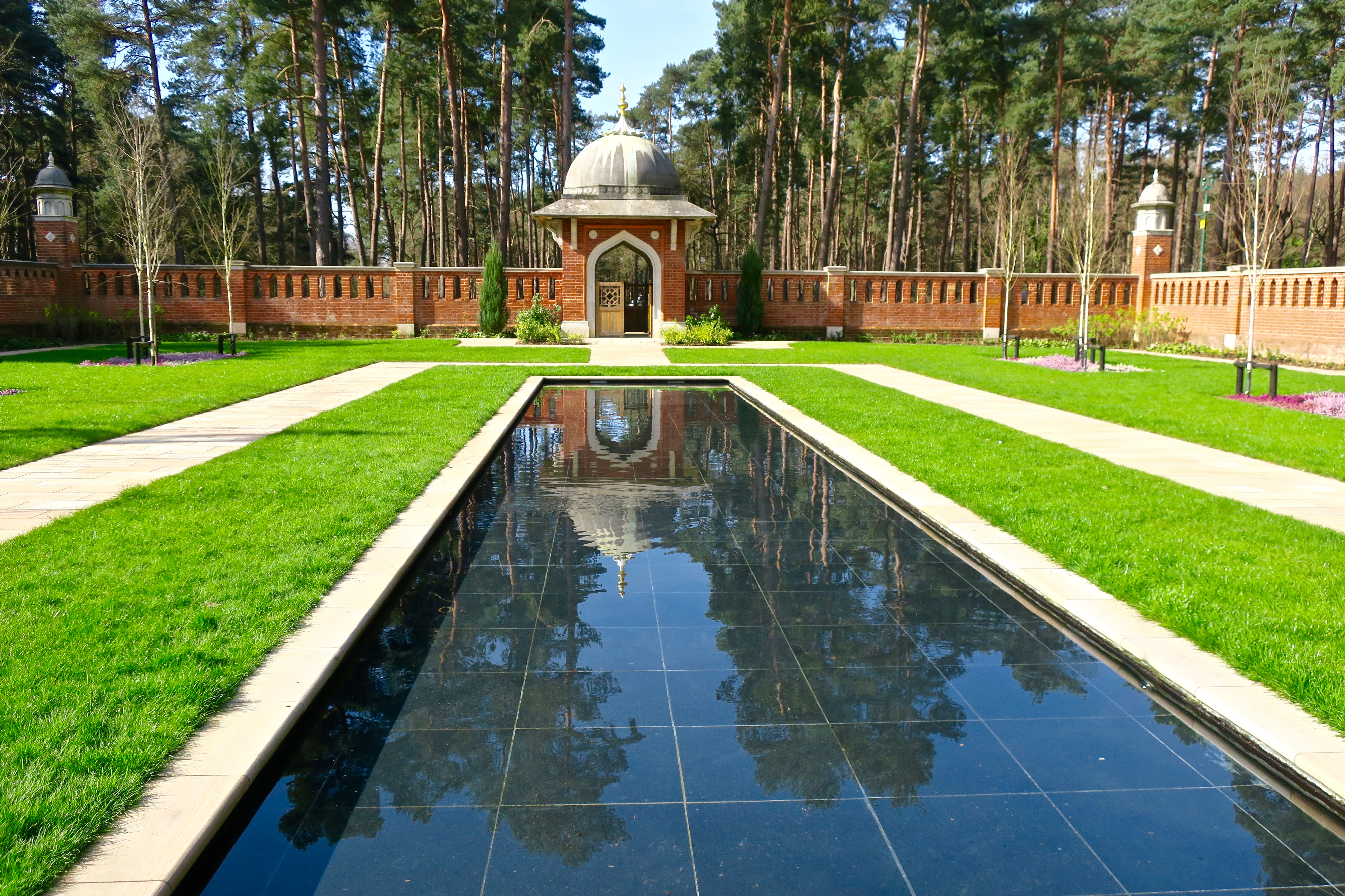
Muslim Burial Ground, Horsell Common
The Muslim Burial Ground, in the town of Woking in the English county of Surrey, was the original resting place of two dozen Muslim soldiers who died during...

Horsell Common
Horsell Common is a 355-hectare (880-acre) open space in Horsell, near Woking in Surrey. It is owned and managed by the Horsell Common Preservation Society...

Shah Jahan Mosque, Woking
The Shah Jahan Mosque (also known as Woking Mosque) in Oriental Road, Woking, England, is the first purpose-built mosque in the United Kingdom. Built in...
Woking power station
Woking power station supplied electricity to the Borough of Woking and the surrounding area from 1890 to 1960. The power station was operated by the Woking...

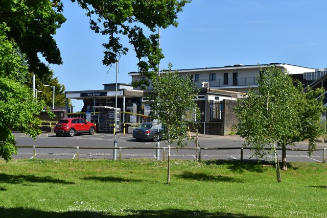
West Byfleet railway station
West Byfleet railway station is a railway station serving the village of West Byfleet, which forms part of the borough of Woking in the English county...
Nearby Amenities
Located within 500m of 51.332961,-0.52927378Have you been to Dartmouth Green?
Leave your review of Dartmouth Green below (or comments, questions and feedback).