Murray Green
Wood, Forest in Surrey Woking
England
Murray Green
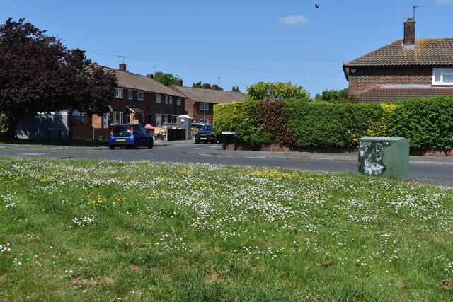
Murray Green is a residential neighborhood located in Surrey, British Columbia, Canada. It is a part of the larger community of Newton, which is situated in the eastern region of Surrey. The neighborhood is known for its peaceful and family-friendly environment, making it an ideal place for people looking for a serene living experience.
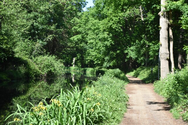
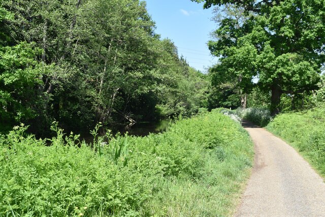
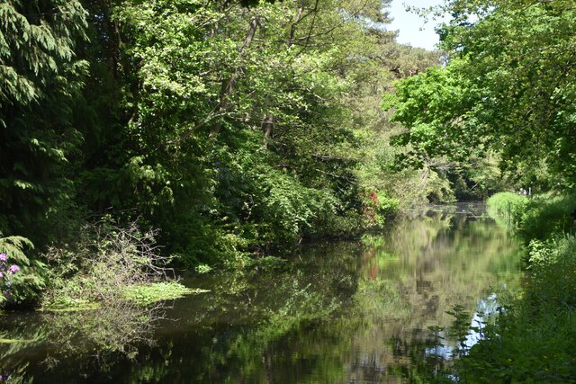
Murray Green is characterized by its abundance of trees, lush greenery, and well-maintained parks. The area offers a mix of housing options, including single-family homes, townhouses, and apartment complexes, catering to a diverse range of residents. The neighborhood is known for its well-planned streets and sidewalks, making it perfect for walkers, joggers, and cyclists.
One of the key features of Murray Green is its proximity to various amenities. Residents enjoy easy access to several shopping centers, including Newton Town Centre and Strawberry Hills Shopping Centre, which offer a wide range of retail stores, supermarkets, and restaurants. There are also numerous schools in the area, making it convenient for families with children.
For outdoor enthusiasts, Murray Green is surrounded by several parks and green spaces. Notable parks include Unwin Park and Newton Athletic Park, where residents can engage in a variety of recreational activities, including sports, picnicking, and walking trails. Additionally, residents can enjoy the nearby Serpentine Greenway, a popular trail system that provides a serene escape into nature.
Overall, Murray Green in Surrey is a peaceful and family-oriented neighborhood, offering a harmonious blend of nature and modern conveniences.
If you have any feedback on the listing, please let us know in the comments section below.
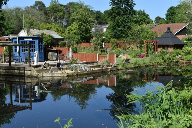
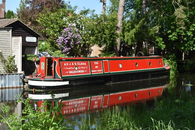
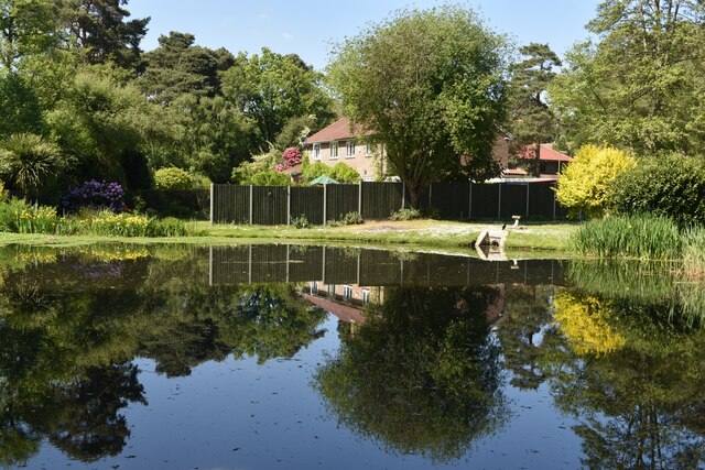
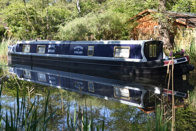
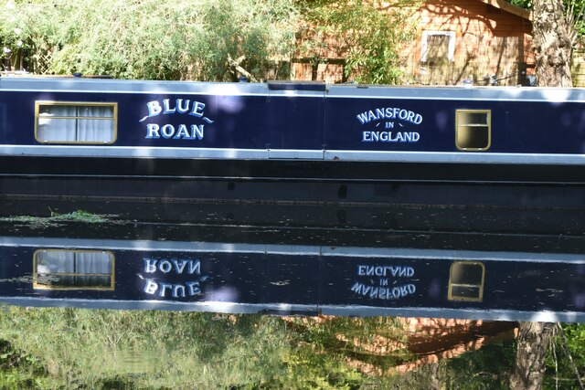
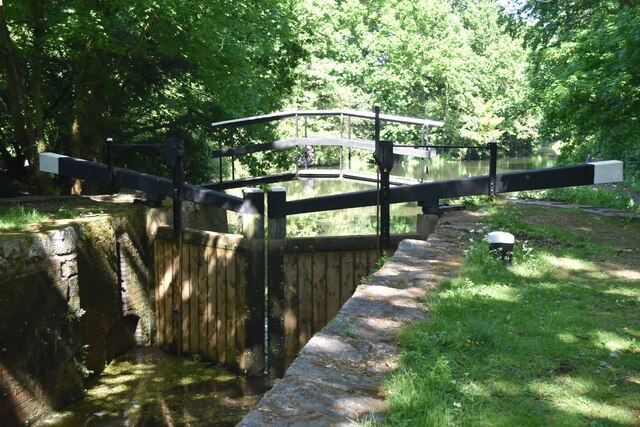
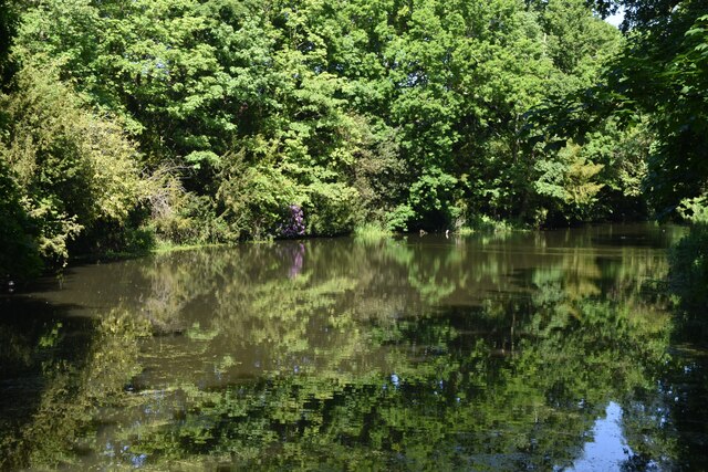
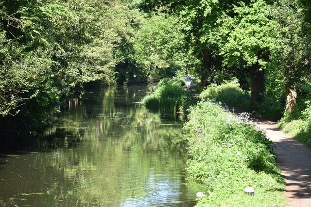
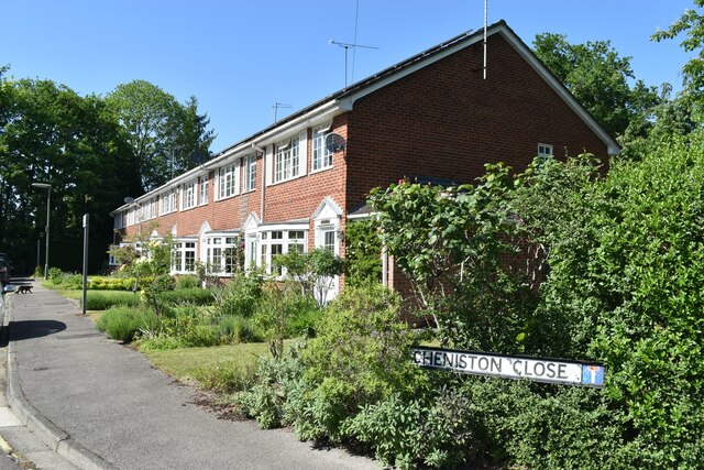
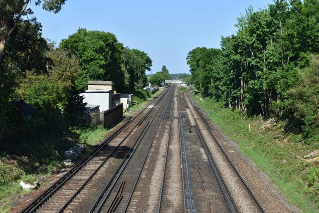
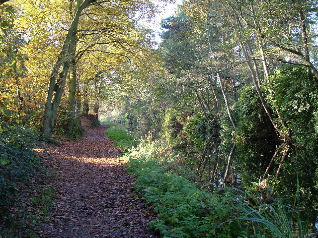
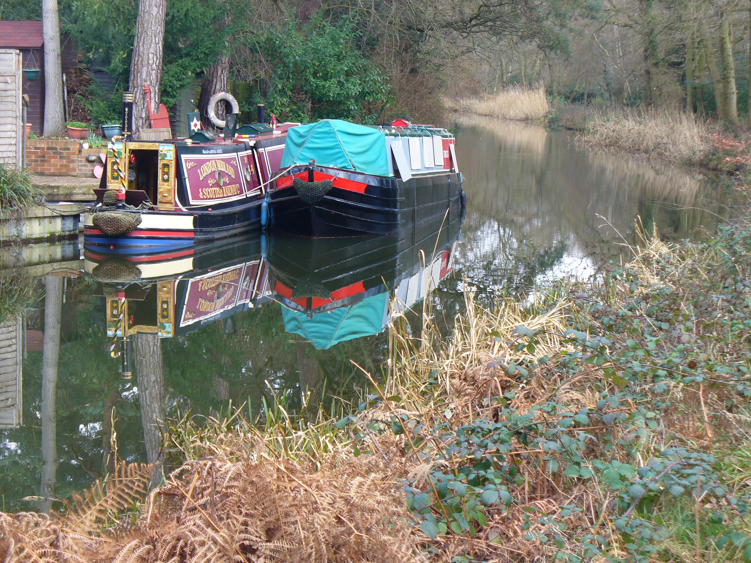
Murray Green Images
Images are sourced within 2km of 51.332093/-0.53320598 or Grid Reference TQ0260. Thanks to Geograph Open Source API. All images are credited.


Murray Green is located at Grid Ref: TQ0260 (Lat: 51.332093, Lng: -0.53320598)
Administrative County: Surrey
District: Woking
Police Authority: Surrey
What 3 Words
///remote.start.nature. Near West Byfleet, Surrey
Nearby Locations
Related Wikis
Sheerwater
Sheerwater is a residential neighbourhood or small suburb of Woking, in the Woking district in Surrey, England, occasionally described as a village, between...

Sheerwater F.C.
Sheerwater F.C. are a Non-League football club who are based in Sheerwater, in Woking, Surrey, England. They play their home fixtures at the Eastwood Centre...
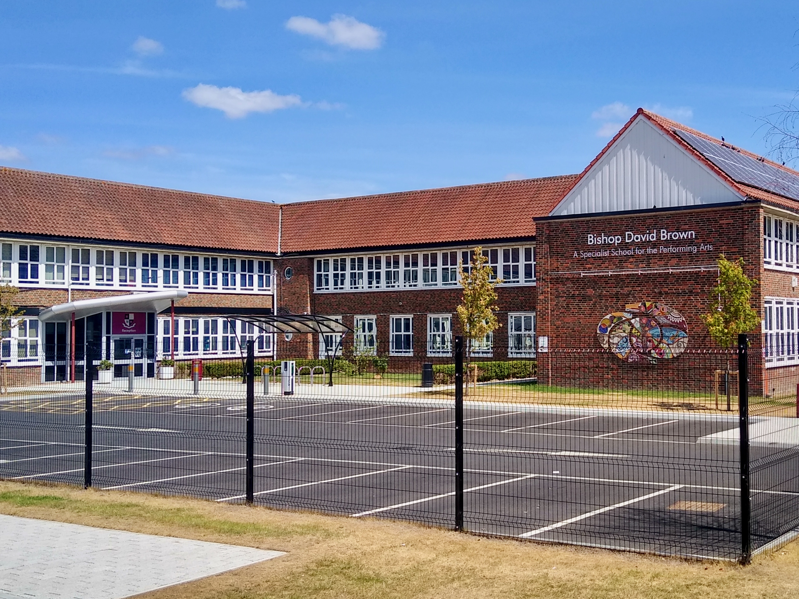
Bishop David Brown School
The Bishop David Brown School is a mixed academy status secondary school located in Sheerwater, (Woking), Surrey, England. == History == Formerly the Sheerwater...
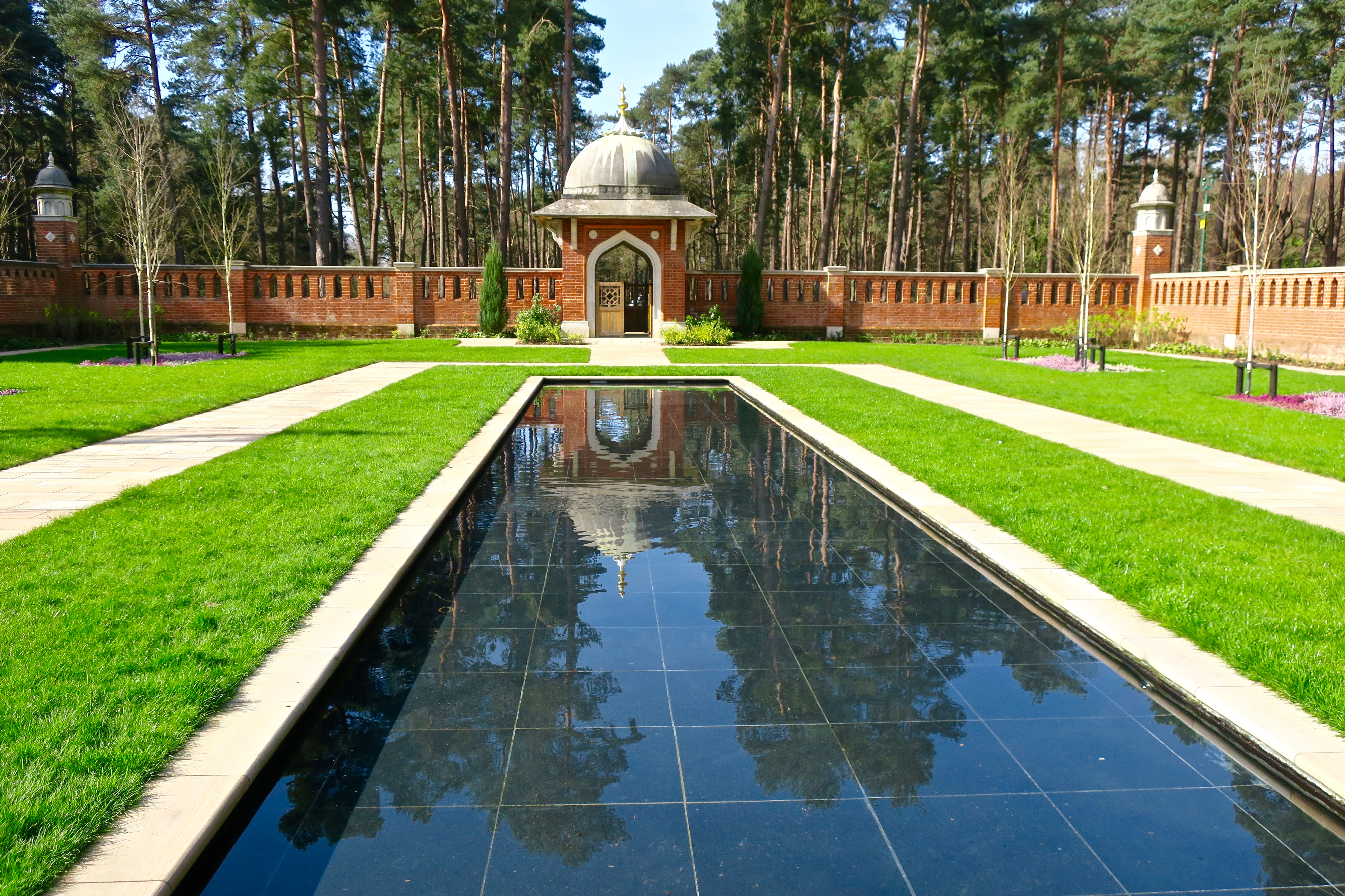
Muslim Burial Ground, Horsell Common
The Muslim Burial Ground, in the town of Woking in the English county of Surrey, was the original resting place of two dozen Muslim soldiers who died during...

Horsell Common
Horsell Common is a 355-hectare (880-acre) open space in Horsell, near Woking in Surrey. It is owned and managed by the Horsell Common Preservation Society...
Woking power station
Woking power station supplied electricity to the Borough of Woking and the surrounding area from 1890 to 1960. The power station was operated by the Woking...

Shah Jahan Mosque, Woking
The Shah Jahan Mosque (also known as Woking Mosque) in Oriental Road, Woking, England, is the first purpose-built mosque in the United Kingdom. Built in...

St Dunstan's Church, Woking
St Dunstan's Church is a Roman Catholic Parish church in Woking, Surrey. At first it was built in 1899, replaced by a larger church in 1923 and its final...
Nearby Amenities
Located within 500m of 51.332093,-0.53320598Have you been to Murray Green?
Leave your review of Murray Green below (or comments, questions and feedback).