Ainsworth Copse

Wood, Forest in Sussex Chichester

England

Ainsworth Copse

Foxbridge Golf Club from the air Wephurst Wood lies to the east of the course; Furze Field and Broad Field, also shown in <a href="https://www.geograph.org.uk/photo/5151386">TQ0129 : Woodland near Ifold from the air</a>, are at lower left. Ifold is the village set in woodland at the top.
Foxbridge Golf Club from the air Credit: Derek Harper

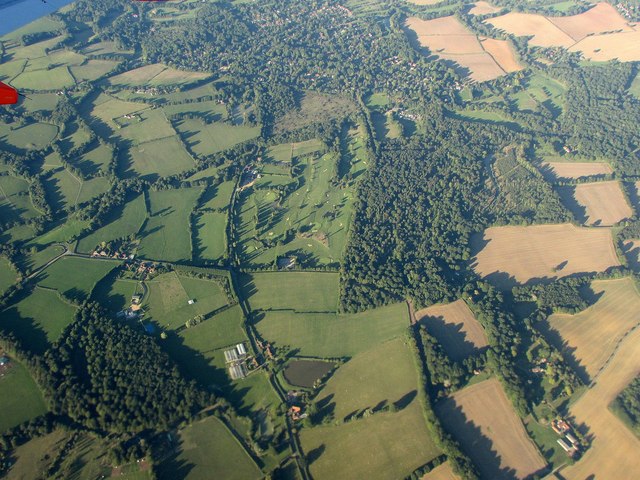
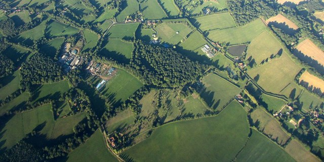
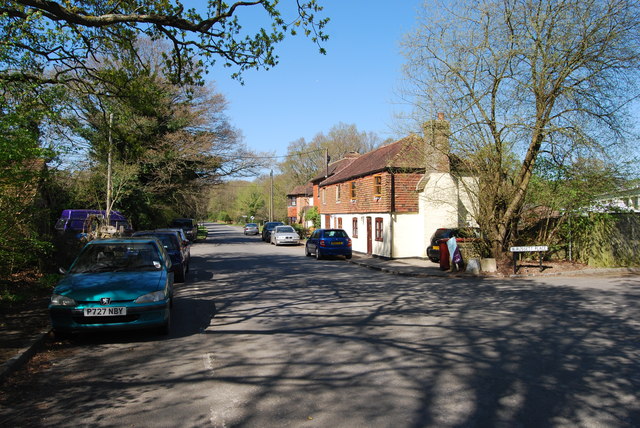
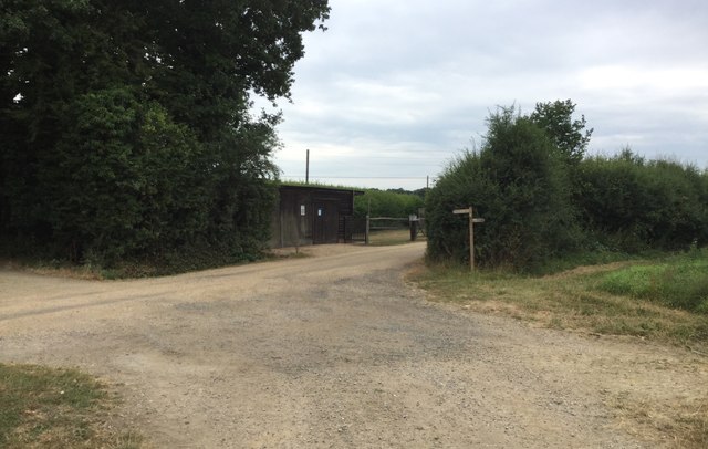
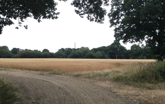
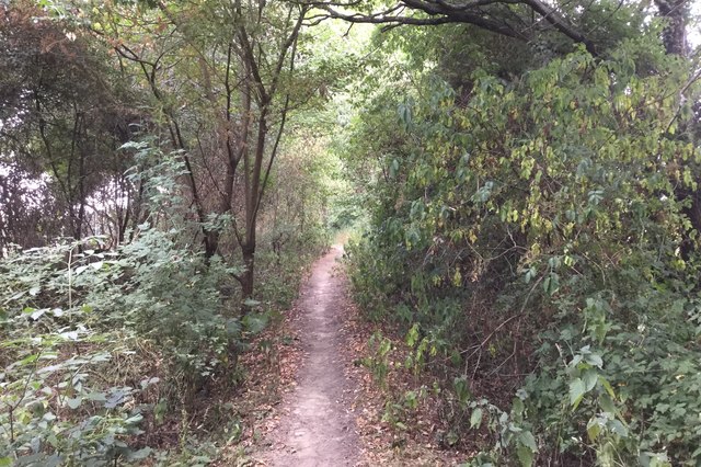
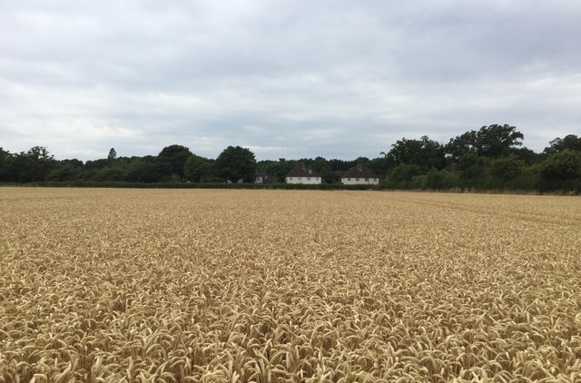
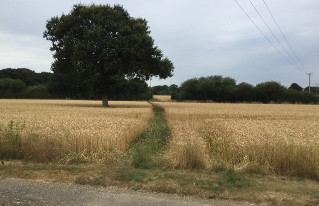
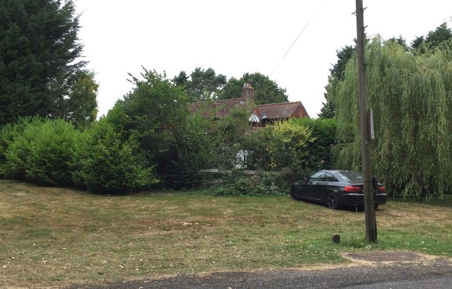
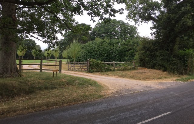
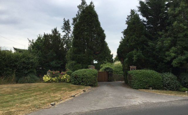
Ainsworth Copse is a beautiful woodland located in Sussex, England. Covering an area of approximately 50 acres, this ancient forest is a popular destination for nature enthusiasts and hikers alike. The copse is situated on the outskirts of a small village and is easily accessible by car or foot.

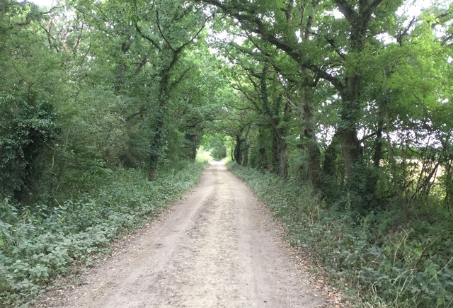
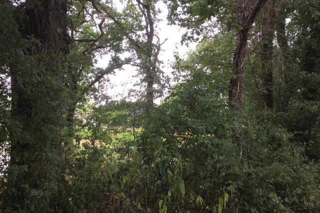
The woodland is predominantly made up of a diverse range of tree species, including oak, beech, and birch. The towering trees create a dense canopy, providing shade and shelter for an array of wildlife. The forest floor is covered in a thick layer of leaf litter, home to various fungi, plants, and insects.

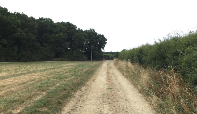
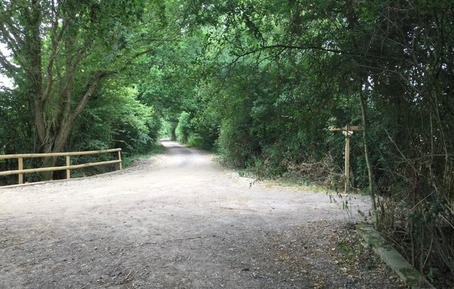
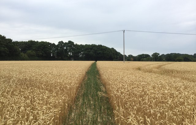
Ainsworth Copse boasts a network of well-maintained trails, allowing visitors to explore its tranquil surroundings at their own pace. Walking through the copse, one can encounter numerous species of birds, such as woodpeckers and owls, as well as small mammals like squirrels and rabbits.

In addition to its natural beauty, Ainsworth Copse also holds historical significance. The woodland is believed to have been a popular hunting ground in medieval times, and remnants of ancient hunting lodges can still be found within its boundaries.

Overall, Ainsworth Copse offers a peaceful retreat from the hustle and bustle of everyday life, inviting visitors to reconnect with nature and enjoy the serenity of this idyllic woodland setting.

If you have any feedback on the listing, please let us know in the comments section below.

Ainsworth Copse Images

Images are sourced within 2km of 51.049095/-0.56718669 or Grid Reference TQ0028. Thanks to Geograph Open Source API. All images are credited.

Foxbridge Golf Club from the air Wephurst Wood lies to the east of the course; Furze Field and Broad Field, also shown in <a href="https://www.geograph.org.uk/photo/5151386">TQ0129 : Woodland near Ifold from the air</a>, are at lower left. Ifold is the village set in woodland at the top.
Foxbridge Golf Club from the air
Wephurst Wood lies to the east of the course; Furze Field and Broad Field, also shown in TQ0129 : Woodland near Ifold from the air, are at lower left. Ifold is the village set in woodland at the top.
Woodland near Ifold from the air The woods at Furze Field and Broad Field also appear in the aerial shot at <a href="https://www.geograph.org.uk/photo/5151368">TQ0229 : Foxbridge Golf Club from the air</a>. The houses at the top are along Rickman's Lane. Left of the wood is Crouchlands Farm.
Woodland near Ifold from the air
The woods at Furze Field and Broad Field also appear in the aerial shot at TQ0229 : Foxbridge Golf Club from the air. The houses at the top are along Rickman's Lane. Left of the wood is Crouchlands Farm.
Road through Kirdford
Approaching the corner of woodland On the bridleway approaching the corner of Holland’s Heath Copse.
Approaching the corner of woodland
On the bridleway approaching the corner of Holland’s Heath Copse.
Wooden Building beside Holland’s Heath Copse
Holland’s Heath Copse On the bridleway running alongside the Copse.
Holland’s Heath Copse
On the bridleway running alongside the Copse.
Crop in field beside the Copse A field of wheat ripening quickly during the very warm weather.
Crop in field beside the Copse
A field of wheat ripening quickly during the very warm weather.
Tree cover at Holland’s Heath Farm The growth in trees and undergrowth is now blocking a clear view on the Farm from the passing bridleway. Only a very indistinct shape of the farm can be seen.
Tree cover at Holland’s Heath Farm
The growth in trees and undergrowth is now blocking a clear view on the Farm from the passing bridleway. Only a very indistinct shape of the farm can be seen.
Bridleway passing Holland’s Heath Farm Heading West on the bridleway.
Bridleway passing Holland’s Heath Farm
Heading West on the bridleway.
Construction Work Work is clearly in progress on building a new covered tunnel for growing crops.
Construction Work
Work is clearly in progress on building a new covered tunnel for growing crops.
Heading towards Mackerel’s Common
Clear Path The public footpath heads Northwards across the field and a clear way has been left by the farmer through the crop.
Clear Path
The public footpath heads Northwards across the field and a clear way has been left by the farmer through the crop.
Houses at Mackerel’s Common Looking across the field from the footpath at the houses beside the Plaistow Road.
Houses at Mackerel’s Common
Looking across the field from the footpath at the houses beside the Plaistow Road.
Short Crops With no significant rainfall for nearly two months the farmer’s crop looks quite short.
Short Crops
With no significant rainfall for nearly two months the farmer’s crop looks quite short.
Green Path to the Plaistow Road Heading across the field to find the Plaistow Road just beyond the trees.
Green Path to the Plaistow Road
Heading across the field to find the Plaistow Road just beyond the trees.
Mackerel’s House Partially hidden by the tree cover.
Mackerel’s House
Partially hidden by the tree cover.
Entrance to Caleb’s Brook
Entrance to Oakley Grange and Willow Barn
Show me another place!

Ainsworth Copse is located at Grid Ref: TQ0028 (Lat: 51.049095, Lng: -0.56718669)

Administrative County: West Sussex

District: Chichester

Police Authority: Sussex

What 3 Words

///liked.hatter.knees. Near Petworth, West Sussex

Related Wikis

Plaistow, West Sussex

Plaistow ( PLAST-oh) is a village and civil parish in the north of the Chichester District of West Sussex, England. There is a village green, a recreation...

St Ronan's School

Saint Ronan's School is an independent co-educational preparatory school for boys and girls from 3 to 13 years located in Hawkhurst in Kent, England. It...

Kirdford

Kirdford is a village and civil parish in the Chichester District of West Sussex, England. Its nearest town is Petworth, located 6.5 miles (10.5 km) southwest...

Ifold

Ifold is a hamlet in West Sussex and part of the civil Parish of Plaistow, of which it is the largest settlement. Ifold is classified as a hamlet, because...

Petworth (electoral division)

Petworth is an electoral division of West Sussex in the United Kingdom, and returns one member to sit on West Sussex County Council. == Extent == The division...

Ebernoe Horn Fair

Ebernoe Horn Fair is held in the small Sussex village of Ebernoe, the location of which is about five miles north of Petworth (grid reference SU975280...

Ebernoe

Ebernoe is a hamlet and civil parish in the District of Chichester in West Sussex, England, and 4 miles (6 km) north of Petworth near the A283 road. The...

Ebernoe Common

Ebernoe Common is a 233.9-hectare (578-acre) biological Site of Special Scientific Interest in Ebernoe, north of Petworth in West Sussex. It is a Nature...

Have you been to Ainsworth Copse?

Leave your review of Ainsworth Copse below (or comments, questions and feedback).