Steer's Common Copse
Wood, Forest in Sussex Chichester
England
Steer's Common Copse
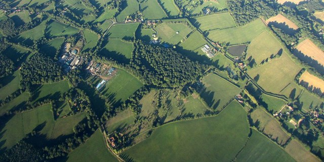
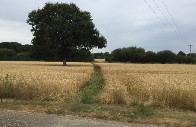
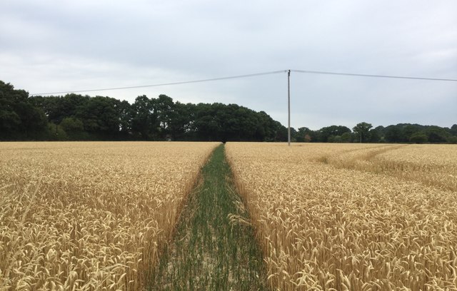
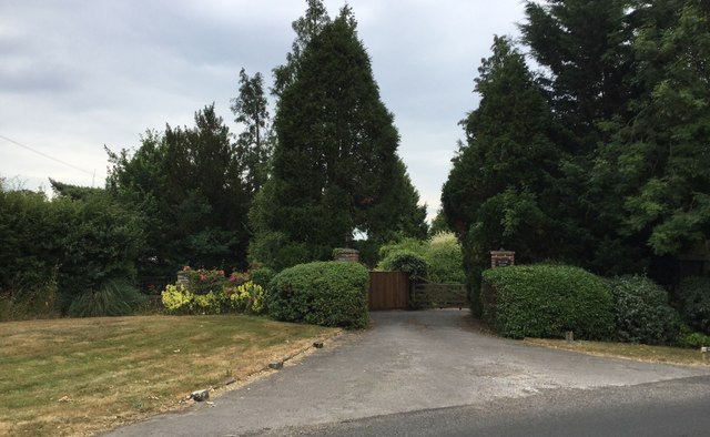
Steer's Common Copse is a picturesque woodland located in the county of Sussex, England. Covering an area of approximately 50 acres, this enchanting forest is a haven for nature lovers and outdoor enthusiasts alike.
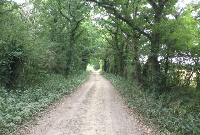
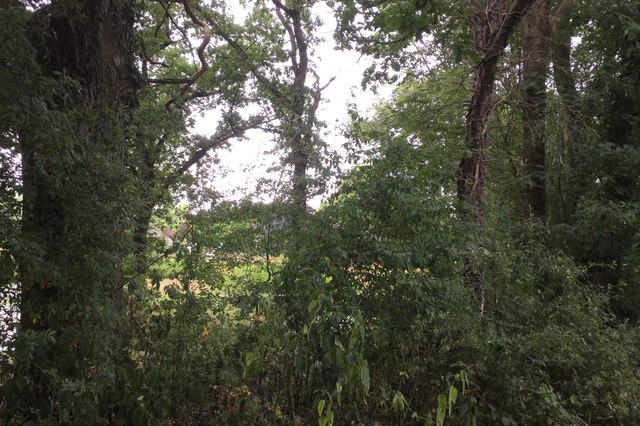
The copse is characterized by its dense canopy of towering trees, predominantly consisting of oak, beech, and ash. These majestic trees provide a tranquil and shady environment, making it an ideal destination for leisurely walks and picnics. The forest floor is adorned with a carpet of vibrant wildflowers, adding a burst of color to the landscape.
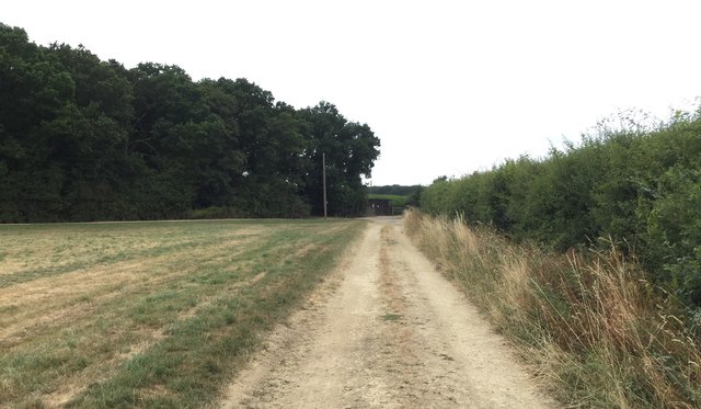
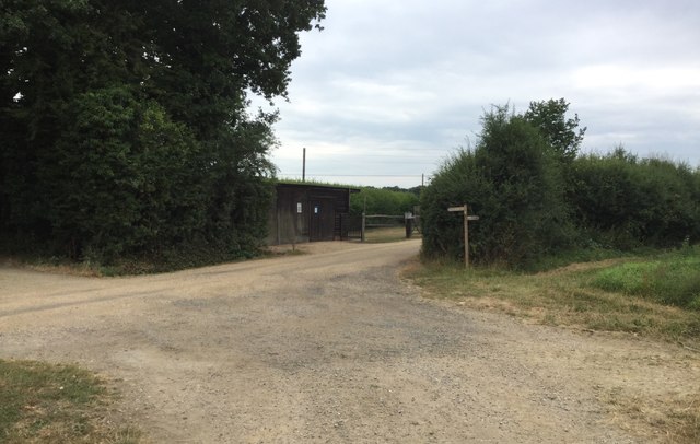
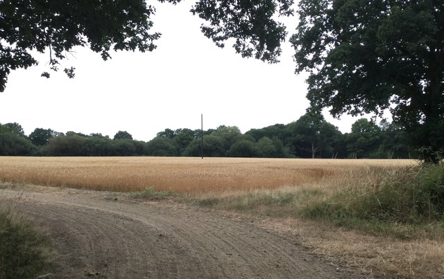
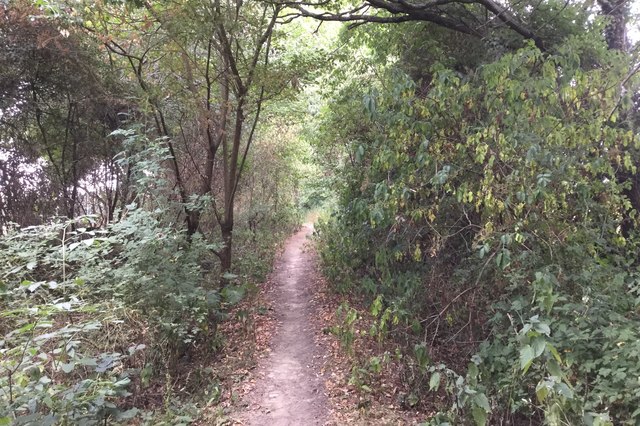
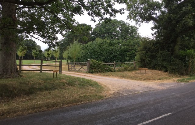
A network of well-maintained trails weaves through the copse, allowing visitors to explore its natural beauty. These trails offer a variety of options, ranging from gentle strolls to more challenging hikes, catering to all fitness levels. Along the way, visitors are likely to encounter a diverse array of wildlife, including squirrels, foxes, and a plethora of bird species.
One of the highlights of Steer's Common Copse is its charming stream, which meanders through the woodland. The babbling sound of water adds an element of serenity to the already peaceful atmosphere.
Steer's Common Copse is not only a place of natural beauty but also holds historical significance. The copse has been mentioned in local folklore and has even served as a backdrop for several literary works.
Overall, Steer's Common Copse is a captivating woodland that offers a delightful escape from the hustle and bustle of everyday life. Its idyllic setting, diverse flora and fauna, and intriguing history make it a must-visit destination for nature enthusiasts and those seeking a peaceful retreat in the heart of Sussex.
If you have any feedback on the listing, please let us know in the comments section below.
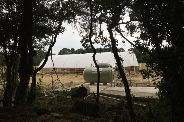
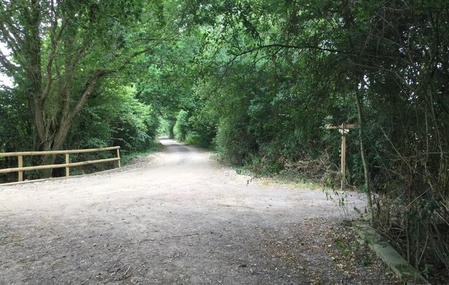
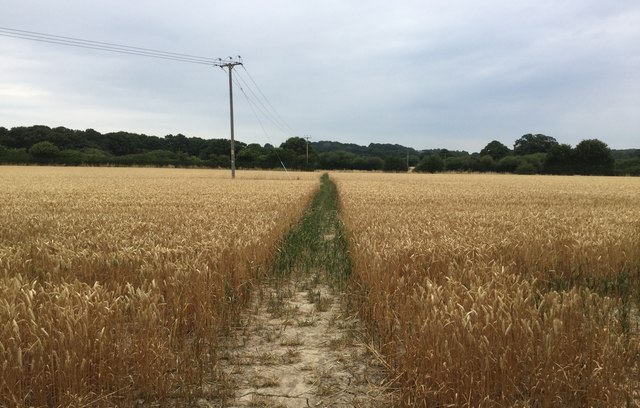
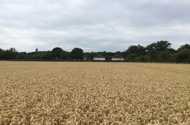
Steer's Common Copse Images
Images are sourced within 2km of 51.044062/-0.56815508 or Grid Reference TQ0028. Thanks to Geograph Open Source API. All images are credited.

Steer's Common Copse is located at Grid Ref: TQ0028 (Lat: 51.044062, Lng: -0.56815508)
Administrative County: West Sussex
District: Chichester
Police Authority: Sussex
What 3 Words
///leave.buckets.questions. Near Petworth, West Sussex
Related Wikis

Kirdford
Kirdford is a village and civil parish in the Chichester District of West Sussex, England. Its nearest town is Petworth, located 6.5 miles (10.5 km) southwest...

St Ronan's School
Saint Ronan's School is an independent co-educational preparatory school for boys and girls from 3 to 13 years located in Hawkhurst in Kent, England. It...

Petworth (electoral division)
Petworth is an electoral division of West Sussex in the United Kingdom, and returns one member to sit on West Sussex County Council. == Extent == The division...

Plaistow, West Sussex
Plaistow ( PLAST-oh) is a village and civil parish in the north of the Chichester District of West Sussex, England. There is a village green, a recreation...

Ebernoe
Ebernoe is a hamlet and civil parish in the District of Chichester in West Sussex, England, and 4 miles (6 km) north of Petworth near the A283 road. The...

Ebernoe Horn Fair
Ebernoe Horn Fair is held in the small Sussex village of Ebernoe, the location of which is about five miles north of Petworth (grid reference SU975280...

Ebernoe Common
Ebernoe Common is a 233.9-hectare (578-acre) biological Site of Special Scientific Interest in Ebernoe, north of Petworth in West Sussex. It is a Nature...
Ifold
Ifold is a hamlet in West Sussex and part of the civil Parish of Plaistow, of which it is the largest settlement. Ifold is classified as a hamlet, because...
Related Videos

Eurohike popup tent takedown.
Eurohike popup tent takedown. The door should not be rolled up. It should however be left open as trapped air stops the tent ...

The Ride, Ifold
This exceptional three-bedroom detached bungalow offers a rare opportunity to acquire a spacious and well-presented property ...

Bramley Close, Kirdford, West Sussex
We are pleased to bring to the market this modern three—bedroom home, situated in the heart of this picturesque West Sussex ...
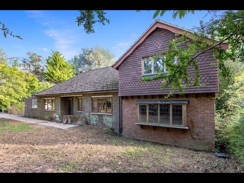
Hogwood Road, Ifold
The Willows” is a substantial family home located in the heart of Ifold Village. The property has been extended over recent years ...
Nearby Amenities
Located within 500m of 51.044062,-0.56815508Have you been to Steer's Common Copse?
Leave your review of Steer's Common Copse below (or comments, questions and feedback).