Little Slifehurst Wood

Wood, Forest in Sussex Chichester

England

Little Slifehurst Wood

Woodland near Ifold from the air The woods at Furze Field and Broad Field also appear in the aerial shot at <a href="https://www.geograph.org.uk/photo/5151368">TQ0229 : Foxbridge Golf Club from the air</a>. The houses at the top are along Rickman's Lane. Left of the wood is Crouchlands Farm.
Woodland near Ifold from the air Credit: Derek Harper

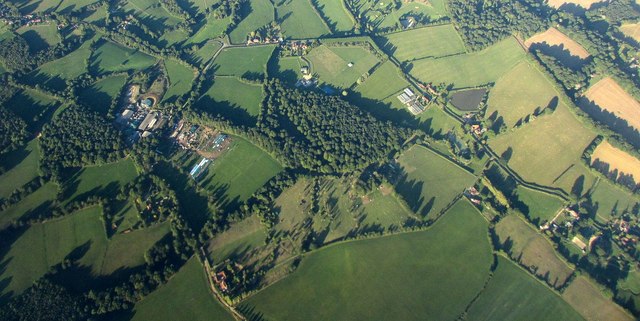
Little Slifehurst Wood is a picturesque woodland located in the county of Sussex, England. Covering an area of approximately 50 acres, this enchanting forest is a haven for nature lovers and outdoor enthusiasts.

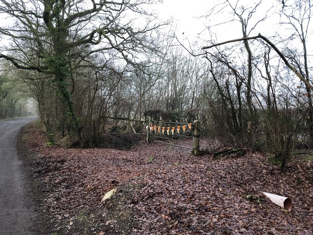
The woodland is characterized by its dense canopy of towering oak, beech, and ash trees, which create a tranquil and shaded environment. The forest floor is adorned with a rich carpet of bluebells, wild garlic, and ferns, providing a stunning display of color during the spring and summer months.

Little Slifehurst Wood is home to a diverse range of wildlife, including birds such as woodpeckers, owls, and songbirds, which can be heard chirping and singing throughout the day. The forest also provides a habitat for mammals such as foxes, badgers, and deer, which can occasionally be spotted by the keen-eyed visitor.

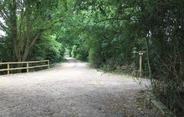
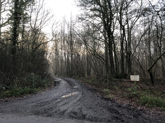
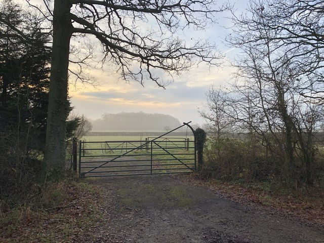
Numerous walking trails wind their way through the woodland, allowing visitors to explore its beauty at their leisure. These paths are well-maintained, making them accessible to people of all ages and abilities. Along the way, visitors may come across quaint wooden benches and picnic spots, providing the perfect opportunity to rest and take in the peaceful surroundings.

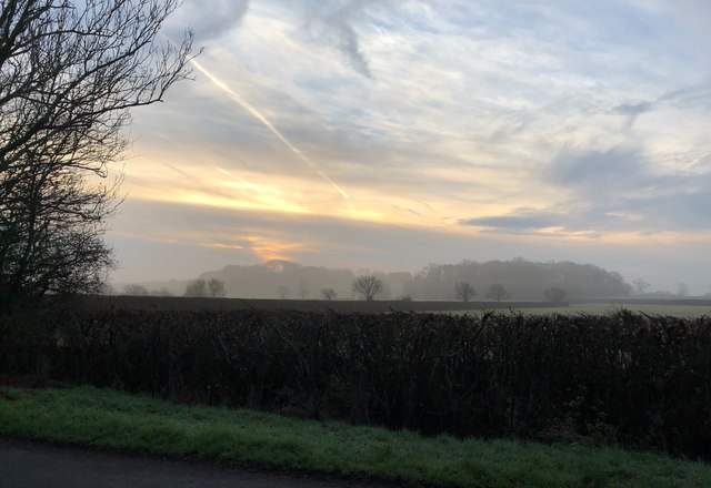
Little Slifehurst Wood is a popular destination for nature walks, photography, and simply escaping the hustle and bustle of everyday life. Its natural beauty and tranquil atmosphere make it a true gem of Sussex, attracting visitors from near and far.

If you have any feedback on the listing, please let us know in the comments section below.

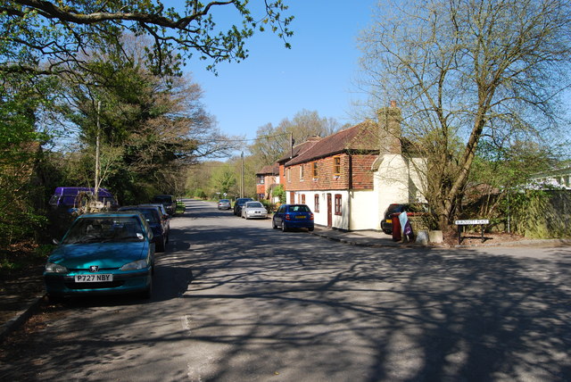
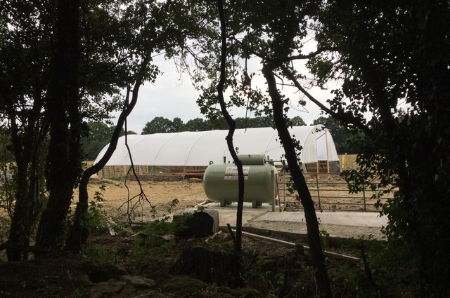
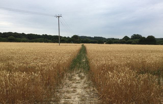
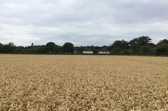
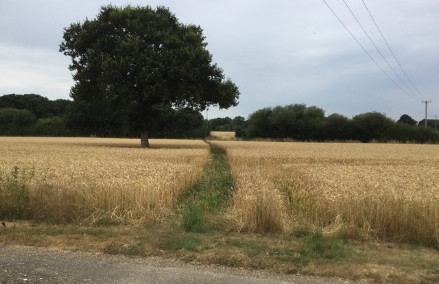
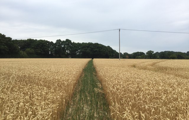
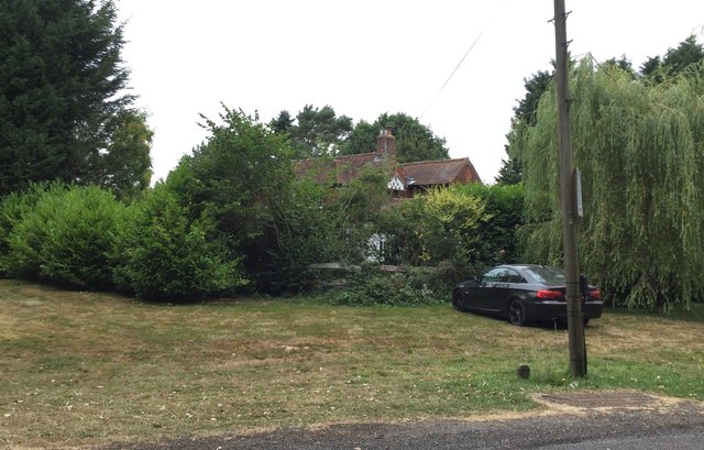
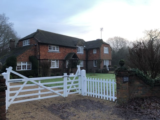
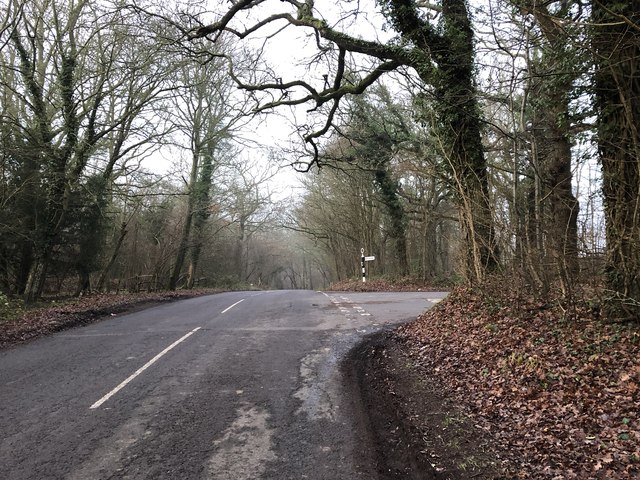
Little Slifehurst Wood Images

Images are sourced within 2km of 51.04627/-0.57442106 or Grid Reference TQ0028. Thanks to Geograph Open Source API. All images are credited.

Woodland near Ifold from the air The woods at Furze Field and Broad Field also appear in the aerial shot at <a href="https://www.geograph.org.uk/photo/5151368">TQ0229 : Foxbridge Golf Club from the air</a>. The houses at the top are along Rickman's Lane. Left of the wood is Crouchlands Farm.
Woodland near Ifold from the air
The woods at Furze Field and Broad Field also appear in the aerial shot at TQ0229 : Foxbridge Golf Club from the air. The houses at the top are along Rickman's Lane. Left of the wood is Crouchlands Farm.
Road through Kirdford
Construction Work Work is clearly in progress on building a new covered tunnel for growing crops.
Construction Work
Work is clearly in progress on building a new covered tunnel for growing crops.
Heading towards Mackerel’s Common
Clear Path The public footpath heads Northwards across the field and a clear way has been left by the farmer through the crop.
Clear Path
The public footpath heads Northwards across the field and a clear way has been left by the farmer through the crop.
Houses at Mackerel’s Common Looking across the field from the footpath at the houses beside the Plaistow Road.
Houses at Mackerel’s Common
Looking across the field from the footpath at the houses beside the Plaistow Road.
Short Crops With no significant rainfall for nearly two months the farmer’s crop looks quite short.
Short Crops
With no significant rainfall for nearly two months the farmer’s crop looks quite short.
Green Path to the Plaistow Road Heading across the field to find the Plaistow Road just beyond the trees.
Green Path to the Plaistow Road
Heading across the field to find the Plaistow Road just beyond the trees.
Mackerel’s House Partially hidden by the tree cover.
Mackerel’s House
Partially hidden by the tree cover.
Approaching Pound Common The road junction on the outskirts of Kirdford near to the common.
Approaching Pound Common
The road junction on the outskirts of Kirdford near to the common.
Pound House Pound House at Pound Common.
Pound House
Pound House at Pound Common.
Picked Croft The woodland known as Picked Croft near Staples Hill. A footpath leads off to the right a few yards ahead.
Picked Croft
The woodland known as Picked Croft near Staples Hill. A footpath leads off to the right a few yards ahead.
Staples Hill The road junction at Staples Hill.
Staples Hill
The road junction at Staples Hill.
Entrance for Park Cottage
Colourful Gateway There was no reason evident as to why the gateway was decorated in this way.
Colourful Gateway
There was no reason evident as to why the gateway was decorated in this way.
Gateway with a view Early morning at a gateway beside the road to Kirdford. In the distance Rookery Copse is visible in the mist with an Ayers Rock like appearance.
Gateway with a view
Early morning at a gateway beside the road to Kirdford. In the distance Rookery Copse is visible in the mist with an Ayers Rock like appearance.
House at Halfway House
Towards Rookery Copse Early morning views of Rookery Copse and beyond.
Towards Rookery Copse
Early morning views of Rookery Copse and beyond.
Show me another place!

Little Slifehurst Wood is located at Grid Ref: TQ0028 (Lat: 51.04627, Lng: -0.57442106)

Administrative County: West Sussex

District: Chichester

Police Authority: Sussex

What 3 Words

///rumbles.evolving.sprinting. Near Petworth, West Sussex

Related Wikis

Petworth (electoral division)

Petworth is an electoral division of West Sussex in the United Kingdom, and returns one member to sit on West Sussex County Council. == Extent == The division...

Kirdford

Kirdford is a village and civil parish in the Chichester District of West Sussex, England. Its nearest town is Petworth, located 6.5 miles (10.5 km) southwest...

Ebernoe Horn Fair

Ebernoe Horn Fair is held in the small Sussex village of Ebernoe, the location of which is about five miles north of Petworth (grid reference SU975280...

Ebernoe

Ebernoe is a hamlet and civil parish in the District of Chichester in West Sussex, England, and 4 miles (6 km) north of Petworth near the A283 road. The...

Plaistow, West Sussex

Plaistow ( PLAST-oh) is a village and civil parish in the north of the Chichester District of West Sussex, England. There is a village green, a recreation...

St Ronan's School

Saint Ronan's School is an independent co-educational preparatory school for boys and girls from 3 to 13 years located in Hawkhurst in Kent, England. It...

Ebernoe Common

Ebernoe Common is a 233.9-hectare (578-acre) biological Site of Special Scientific Interest in Ebernoe, north of Petworth in West Sussex. It is a Nature...

Ifold

Ifold is a hamlet in West Sussex and part of the civil Parish of Plaistow, of which it is the largest settlement. Ifold is classified as a hamlet, because...

Nearby Amenities

Located within 500m of 51.04627,-0.57442106
The data included in this document is from www.openstreetmap.org. The data is made available under ODbL.

Have you been to Little Slifehurst Wood?

Leave your review of Little Slifehurst Wood below (or comments, questions and feedback).