Low Weald

Downs, Moorland in Sussex Chichester

England

Low Weald

Woodland near Ifold from the air The woods at Furze Field and Broad Field also appear in the aerial shot at <a href="https://www.geograph.org.uk/photo/5151368">TQ0229 : Foxbridge Golf Club from the air</a>. The houses at the top are along Rickman's Lane. Left of the wood is Crouchlands Farm.
Woodland near Ifold from the air Credit: Derek Harper

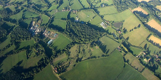
The Low Weald is a region located in Sussex, England, encompassing a diverse landscape of downs, moorland, and rolling hills. Stretching across approximately 300 square miles, this area is known for its stunning natural beauty and rich biodiversity.

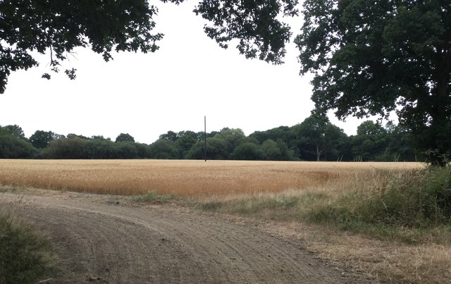
The downs in the Low Weald are characterized by their gently sloping chalk hills, which provide breathtaking panoramic views of the surrounding countryside. These downs are home to a variety of flora and fauna, including wildflowers such as orchids and cowslips, and rare bird species like the skylark and the yellowhammer. The chalk grassland habitats found here support a wide range of insects and small mammals as well.

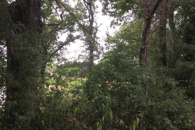
In contrast to the downs, the moorland areas in the Low Weald are characterized by their heather-covered expanses and peat bogs. This unique habitat supports a different array of plant and animal species, including the rare Dartford warbler and the carnivorous sundew plant. The moorlands are also home to several species of reptiles, such as adders and common lizards.

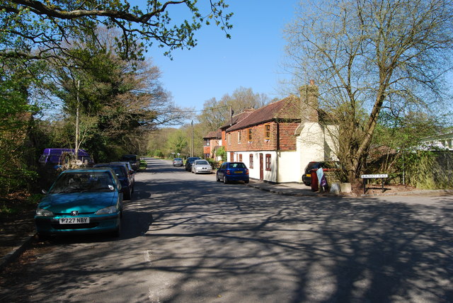
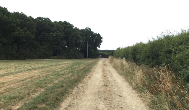
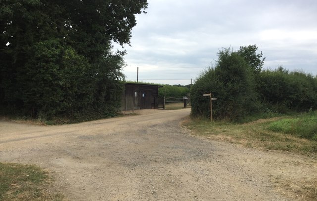
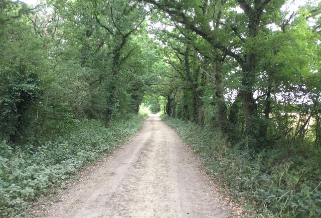
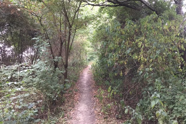
The Low Weald is crisscrossed by a network of footpaths and trails, making it a popular destination for outdoor enthusiasts. Hiking and cycling are popular activities, allowing visitors to explore the diverse landscapes and enjoy the tranquility of the area. Additionally, the Low Weald is dotted with charming villages and historic sites, offering visitors a glimpse into the region's rich cultural heritage.

Overall, the Low Weald in Sussex is a picturesque and ecologically important region, offering visitors the opportunity to immerse themselves in the beauty of the English countryside and discover its diverse wildlife.

If you have any feedback on the listing, please let us know in the comments section below.
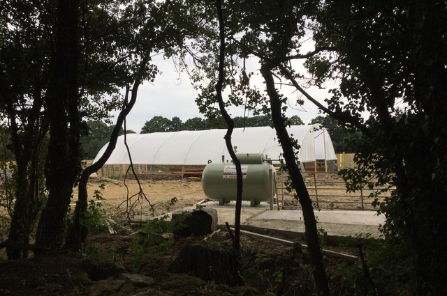
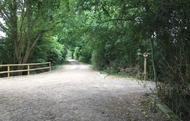
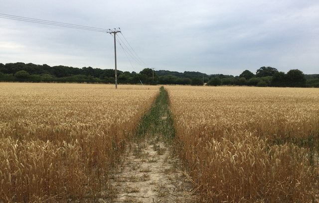
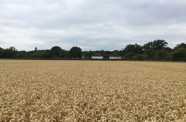
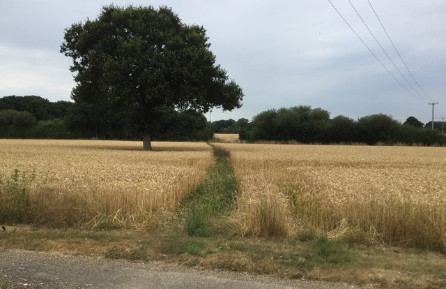
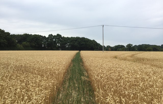
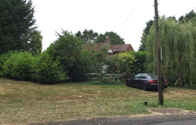
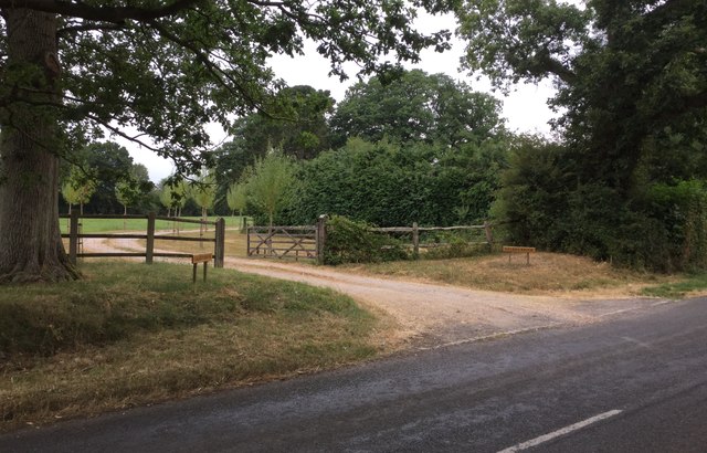
Low Weald Images

Images are sourced within 2km of 51.043456/-0.56784567 or Grid Reference TQ0028. Thanks to Geograph Open Source API. All images are credited.

Woodland near Ifold from the air The woods at Furze Field and Broad Field also appear in the aerial shot at <a href="https://www.geograph.org.uk/photo/5151368">TQ0229 : Foxbridge Golf Club from the air</a>. The houses at the top are along Rickman's Lane. Left of the wood is Crouchlands Farm.
Woodland near Ifold from the air
The woods at Furze Field and Broad Field also appear in the aerial shot at TQ0229 : Foxbridge Golf Club from the air. The houses at the top are along Rickman's Lane. Left of the wood is Crouchlands Farm.
Road through Kirdford
Approaching the corner of woodland On the bridleway approaching the corner of Holland’s Heath Copse.
Approaching the corner of woodland
On the bridleway approaching the corner of Holland’s Heath Copse.
Wooden Building beside Holland’s Heath Copse
Holland’s Heath Copse On the bridleway running alongside the Copse.
Holland’s Heath Copse
On the bridleway running alongside the Copse.
Crop in field beside the Copse A field of wheat ripening quickly during the very warm weather.
Crop in field beside the Copse
A field of wheat ripening quickly during the very warm weather.
Tree cover at Holland’s Heath Farm The growth in trees and undergrowth is now blocking a clear view on the Farm from the passing bridleway. Only a very indistinct shape of the farm can be seen.
Tree cover at Holland’s Heath Farm
The growth in trees and undergrowth is now blocking a clear view on the Farm from the passing bridleway. Only a very indistinct shape of the farm can be seen.
Bridleway passing Holland’s Heath Farm Heading West on the bridleway.
Bridleway passing Holland’s Heath Farm
Heading West on the bridleway.
Construction Work Work is clearly in progress on building a new covered tunnel for growing crops.
Construction Work
Work is clearly in progress on building a new covered tunnel for growing crops.
Heading towards Mackerel’s Common
Clear Path The public footpath heads Northwards across the field and a clear way has been left by the farmer through the crop.
Clear Path
The public footpath heads Northwards across the field and a clear way has been left by the farmer through the crop.
Houses at Mackerel’s Common Looking across the field from the footpath at the houses beside the Plaistow Road.
Houses at Mackerel’s Common
Looking across the field from the footpath at the houses beside the Plaistow Road.
Short Crops With no significant rainfall for nearly two months the farmer’s crop looks quite short.
Short Crops
With no significant rainfall for nearly two months the farmer’s crop looks quite short.
Green Path to the Plaistow Road Heading across the field to find the Plaistow Road just beyond the trees.
Green Path to the Plaistow Road
Heading across the field to find the Plaistow Road just beyond the trees.
Mackerel’s House Partially hidden by the tree cover.
Mackerel’s House
Partially hidden by the tree cover.
Entrance to Caleb’s Brook
Entrance to Oakley Grange and Willow Barn
Cottages beside the Plaistow Road
Show me another place!

Low Weald is located at Grid Ref: TQ0028 (Lat: 51.043456, Lng: -0.56784567)

Administrative County: West Sussex

District: Chichester

Police Authority: Sussex

What 3 Words

///grows.driving.corrects. Near Petworth, West Sussex

Related Wikis

Kirdford

Kirdford is a village and civil parish in the Chichester District of West Sussex, England. Its nearest town is Petworth, located 6.5 miles (10.5 km) southwest...

Petworth (electoral division)

Petworth is an electoral division of West Sussex in the United Kingdom, and returns one member to sit on West Sussex County Council. == Extent == The division...

St Ronan's School

Saint Ronan's School is an independent co-educational preparatory school for boys and girls from 3 to 13 years located in Hawkhurst in Kent, England. It...

Plaistow, West Sussex

Plaistow ( PLAST-oh) is a village and civil parish in the north of the Chichester District of West Sussex, England. There is a village green, a recreation...

Ebernoe

Ebernoe is a hamlet and civil parish in the District of Chichester in West Sussex, England, and 4 miles (6 km) north of Petworth near the A283 road. The...

Ebernoe Horn Fair

Ebernoe Horn Fair is held in the small Sussex village of Ebernoe, the location of which is about five miles north of Petworth (grid reference SU975280...

Ebernoe Common

Ebernoe Common is a 233.9-hectare (578-acre) biological Site of Special Scientific Interest in Ebernoe, north of Petworth in West Sussex. It is a Nature...

Ifold

Ifold is a hamlet in West Sussex and part of the civil Parish of Plaistow, of which it is the largest settlement. Ifold is classified as a hamlet, because...

Nearby Amenities

Located within 500m of 51.043456,-0.56784567
Great Slifehurst
Place: hamlet
Lat/Long: 51.0400415/-0.5679082
Post Box
Collection Plate: CP7
Collection Times: Mo-Fr 16:00; Sa 07:00
Last Checked: 2020-03-06
Operator: Royal Mail
Post Box Type: lamp
Ref: RH14 198
Royal Cypher: EIIR
Royal Cypher Wikidata: Q33102113
Lat/Long: 51.0405848/-0.5726292
Kirdford Airstrip
Aeroway: airstrip
Lat/Long: 51.0411689/-0.5636327
The data included in this document is from www.openstreetmap.org. The data is made available under ODbL.

Have you been to Low Weald?

Leave your review of Low Weald below (or comments, questions and feedback).