Park Rough
Wood, Forest in Sussex Arun
England
Park Rough

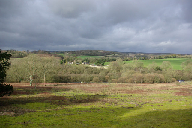
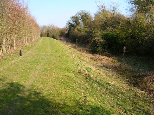
Park Rough, Sussex is a picturesque woodland area located in the county of Sussex, England. Covering an extensive area, it is known for its diverse range of flora and fauna, making it a popular destination for nature enthusiasts and hikers alike.
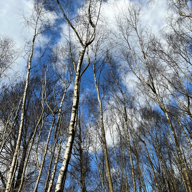
The woodland is predominantly composed of deciduous trees such as oak, beech, and birch, creating a breathtaking canopy that changes color with the seasons. The forest floor is covered with a rich carpet of moss, ferns, and wildflowers, adding to the enchanting atmosphere of the park.
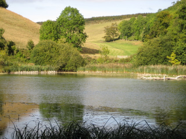
Park Rough is home to a variety of wildlife, including deer, foxes, badgers, and a wide range of bird species. Birdwatchers can spot species such as woodpeckers, owls, and various songbirds throughout the year. The park also boasts a small lake, attracting a multitude of waterfowl, including ducks and swans.
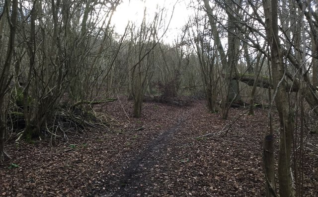
The park offers several well-maintained trails of varying lengths, providing visitors with opportunities for leisurely walks or more challenging hikes. These trails wind through the woodland, offering breathtaking vistas and peaceful spots for picnics.
The management of Park Rough is committed to preserving the natural beauty of the area, and as such, there are strict rules regarding littering and dog control. These measures ensure that visitors can enjoy the park in its unspoiled state.
Overall, Park Rough, Sussex is a haven of tranquility and natural beauty. Whether visitors seek a peaceful stroll, a hike through the woods, or the chance to observe wildlife, this woodland area offers an idyllic escape from the hustle and bustle of everyday life.
If you have any feedback on the listing, please let us know in the comments section below.
Park Rough Images
Images are sourced within 2km of 50.872758/-0.57267105 or Grid Reference TQ0009. Thanks to Geograph Open Source API. All images are credited.


Park Rough is located at Grid Ref: TQ0009 (Lat: 50.872758, Lng: -0.57267105)
Administrative County: West Sussex
District: Arun
Police Authority: Sussex
What 3 Words
///musical.optimally.digress. Near Arundel, West Sussex
Nearby Locations
Related Wikis
Arundel Park
Arundel Park is a 134-hectare (330-acre) biological Site of Special Scientific Interest north of Arundel in West Sussex.This old deer park on the chalk...
Fairmile Bottom
Fairmile Bottom is a 70.2-hectare (173-acre) biological Site of Special Scientific Interest north-west of Arundel in West Sussex. An area of 61.3 hectares...
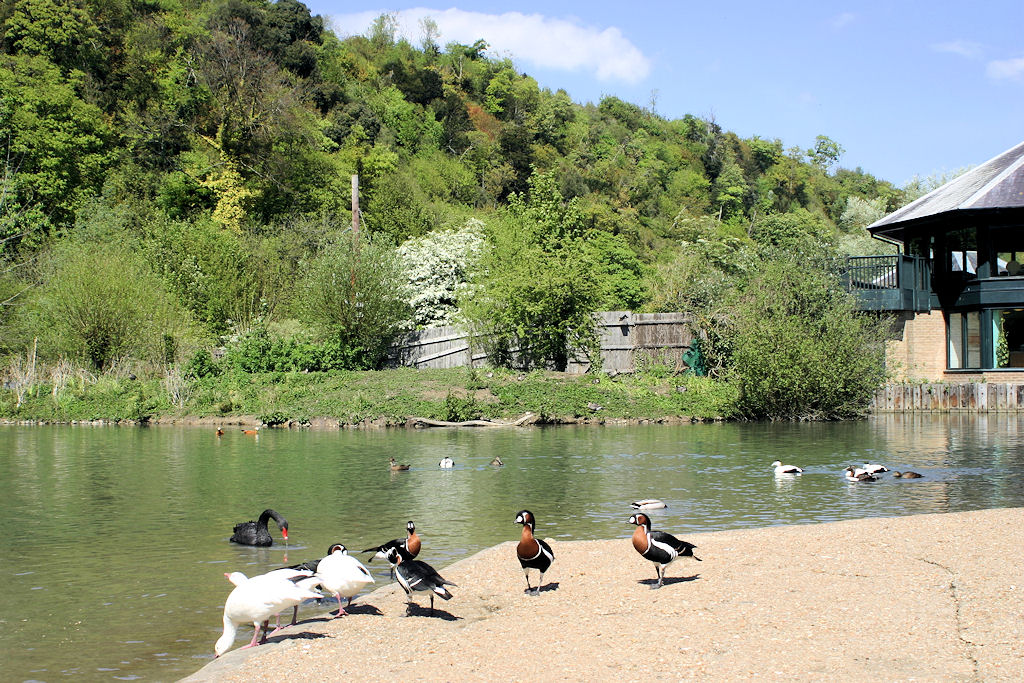
WWT Arundel
WWT Arundel is one of ten wildfowl and wetland nature reserves managed by the Wildfowl and Wetlands Trust, a nature conservation charity in the United...
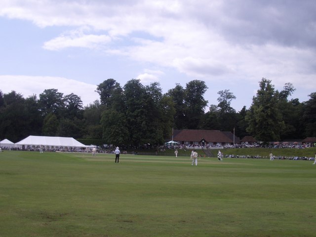
Arundel Castle Cricket Ground
Arundel Castle Cricket Ground is a cricket ground in Arundel, West Sussex, England, nearby to Arundel Castle. It has been in use since 1952. The ground...
Portsmouth and Arundel Canal
The Portsmouth and Arundel Canal was a canal in the south of England that ran between Portsmouth and Ford in the Arundel district, it was built in 1823...

Arundel and District Hospital
Arundel and District Hospital is a health facility in Chichester Road, Arundel, West Sussex, England. It is managed by the Sussex Community NHS Foundation...

Fitzalan Chapel
The Fitzalan Chapel is the chancel of the church of St Nicholas in the western grounds of Arundel Castle, in West Sussex, England. The church is one of...
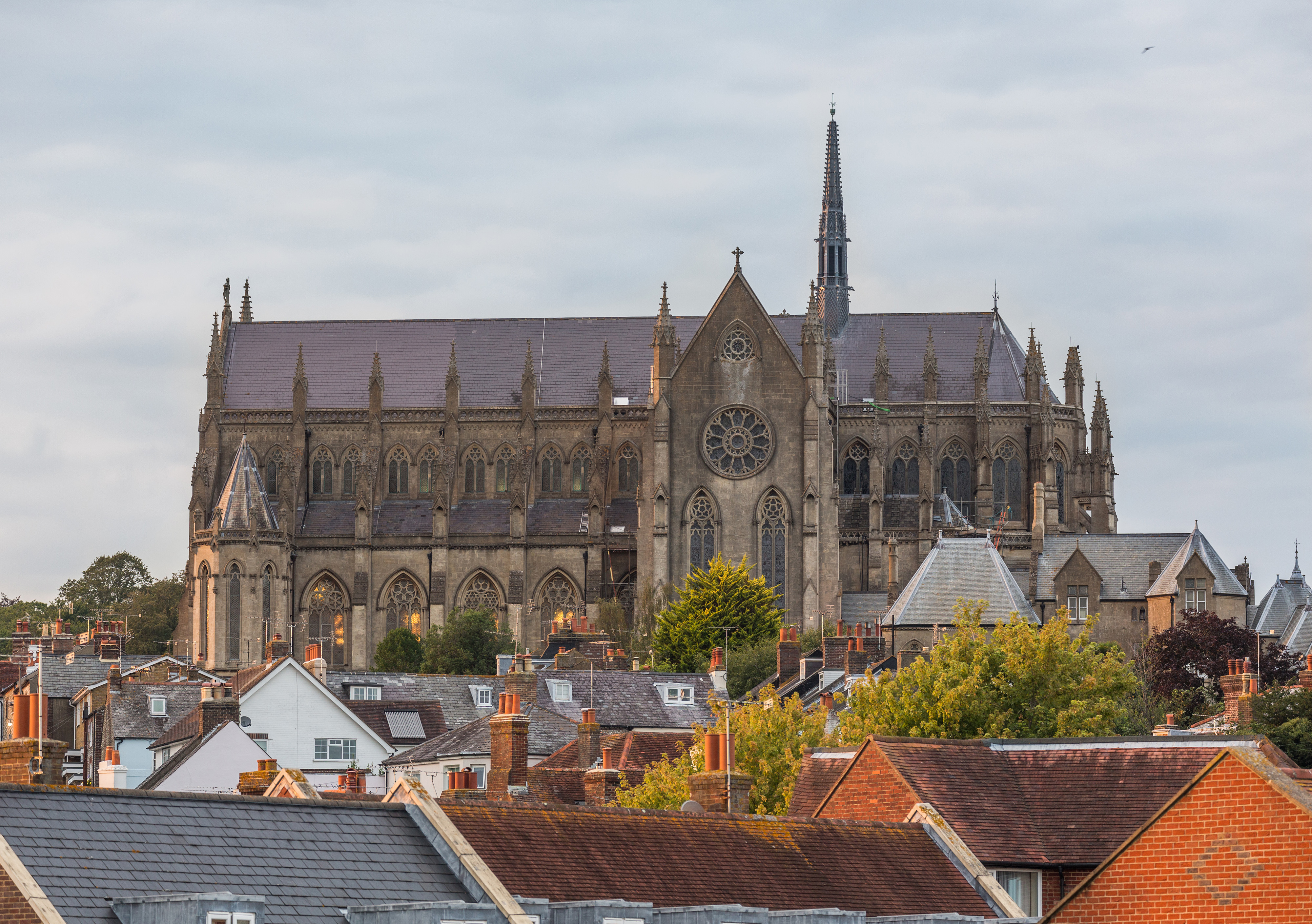
Arundel Cathedral
The Cathedral Church of Our Lady and St Philip Howard is a Roman Catholic cathedral in Arundel, West Sussex, England. Dedicated in 1873 as the Catholic...
Nearby Amenities
Located within 500m of 50.872758,-0.57267105Have you been to Park Rough?
Leave your review of Park Rough below (or comments, questions and feedback).