Birchen Copse
Wood, Forest in Surrey Waverley
England
Birchen Copse

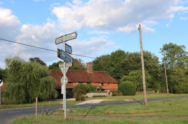
Birchen Copse is a picturesque wood located in Surrey, England. Covering an area of approximately 100 acres, it is a thriving natural habitat that attracts visitors from near and far. The copse is situated in the southeastern part of Surrey, just a short distance from the bustling town of Guildford.
The woodland is predominantly made up of birch trees, hence its name, which create a stunning and unique landscape. The tall, slender trunks of the birch trees provide a striking contrast against the lush green undergrowth and the vibrant colors of the surrounding foliage.
Birchen Copse is home to a diverse range of flora and fauna, making it a haven for nature enthusiasts and wildlife lovers. The wood supports a rich variety of plant species, including bluebells, wood anemones, and wild garlic, which carpet the forest floor during springtime. These flowers attract a wide array of insects and butterflies, contributing to the copse's biodiversity.
Wildlife thrives within the copse, with numerous bird species, including woodpeckers and owls, inhabiting the trees. Squirrels can also be spotted effortlessly leaping from branch to branch, while deer occasionally graze in the more secluded areas of the forest.
Birchen Copse is a popular destination for walking and hiking, with several trails meandering through the wood. These trails provide visitors with the opportunity to immerse themselves in the natural beauty of the copse, as they navigate through the winding paths and soak in the tranquil ambiance.
Overall, Birchen Copse in Surrey is a captivating woodland that offers a peaceful escape from the hustle and bustle of everyday life. Its breathtaking scenery, abundant wildlife, and well-maintained trails make it a must-visit location for nature enthusiasts and those seeking a serene retreat.
If you have any feedback on the listing, please let us know in the comments section below.
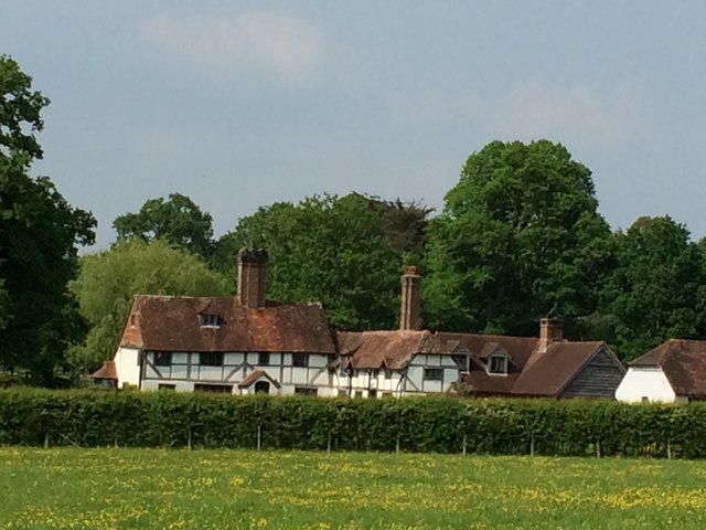
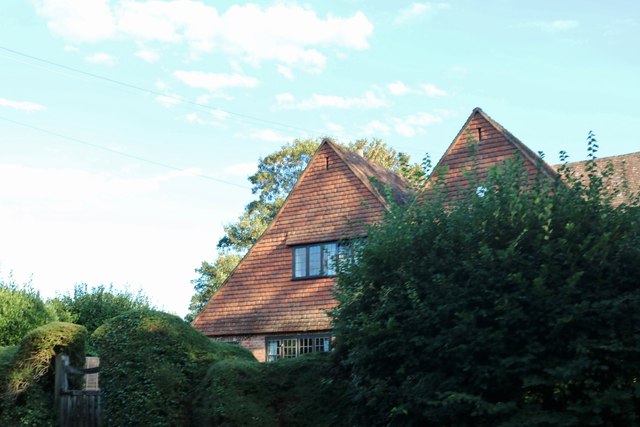
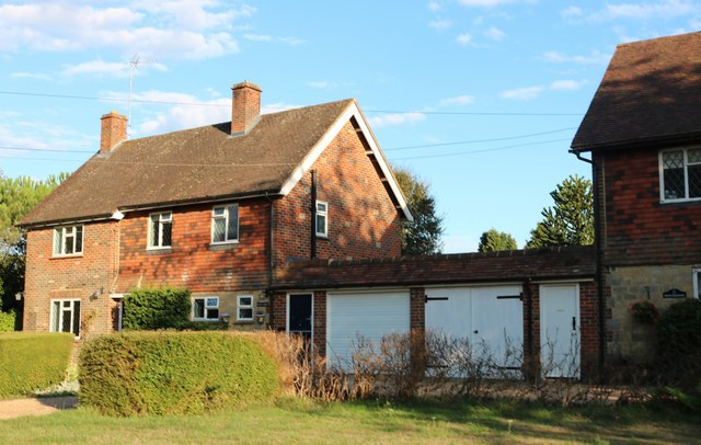
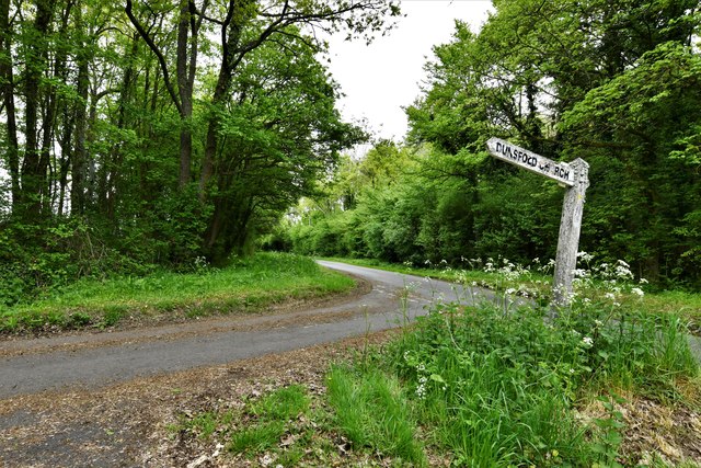
Birchen Copse Images
Images are sourced within 2km of 51.107293/-0.58761501 or Grid Reference SU9835. Thanks to Geograph Open Source API. All images are credited.


Birchen Copse is located at Grid Ref: SU9835 (Lat: 51.107293, Lng: -0.58761501)
Administrative County: Surrey
District: Waverley
Police Authority: Surrey
What 3 Words
///organisms.message.whisker. Near Chiddingfold, Surrey
Nearby Locations
Related Wikis

Dunsfold
Dunsfold is a village in the borough of Waverley, Surrey, England, 8.7 miles (14.0 kilometres) south of Guildford. It lies in the Weald and reaches in...

Chiddingfold Forest
Chiddingfold Forest is a 542.5-hectare (1,341-acre) biological Site of Special Scientific Interest in Chiddingfold in Surrey and West Sussex. One part...

Pickhurst
Pickhurst is a grade II* listed house set in 130 acres (53 ha) of land near Chiddingfold, Surrey, England. == History == It was designed by the Scottish...

The Farm (recording studio)
The Farm (also known as Fisher Lane Farm) was a recording studio in Chiddingfold, Surrey owned by the rock band Genesis. The group bought the property...

Chiddingfold
Chiddingfold is a village and civil parish in the Weald in the Waverley district of Surrey, England. It lies on the A283 road between Milford and Petworth...

St Teresa of Avila Church, Chiddingfold
St Teresa of Avila Church is a Roman Catholic Parish church in Chiddingfold, Surrey. It is situated on the corner of Petworth Road and Woodside Road in...

Fir Tree Copse
Fir Tree Copse is a 6-hectare (15-acre) nature reserve south-east of Dunsfold in Surrey. It is managed by the Surrey Wildlife Trust and is part of the...

Top Gear test track
The Top Gear test track is used by the BBC automotive television programme Top Gear. It is located at Dunsfold Aerodrome in Surrey, United Kingdom. The...
Related Videos

Antanov An-12B
A short video of a very impressive Antanov An-12B circling over work. 11/2/22.

June & Robin Lovelock's visit to Vann, open for the NGS Charity on 29th March 2022
12 minute sequence of photos, the first 2 minutes of which are a summary. The pictures show our visit to Vann, in Hambledon, ...
Vann House & Garden, Surrey
A walk around the lovely garden of Vann House in Surrey, some of which was designed by the famous garden designer Gertrude ...

British Airways 747 G-BNLY landing at Dunsfold Aerodrome 5-12-20
British Airways Boeing 747-436 G-BNLY "City Of Swansea" landing at Dunsfold Park Aerodrome on December 5th 2020.
Nearby Amenities
Located within 500m of 51.107293,-0.58761501Have you been to Birchen Copse?
Leave your review of Birchen Copse below (or comments, questions and feedback).