Pignuts Copse
Wood, Forest in Surrey Waverley
England
Pignuts Copse

Pignuts Copse is a small woodland area located in the county of Surrey, England. Situated near the village of Shere, this beautiful copse spans approximately 3 acres and is known for its diverse range of flora and fauna.
The woodland is predominantly made up of a mixture of broadleaf trees, including oak, beech, and birch, which create a dense canopy, providing shade and shelter for the undergrowth. The forest floor is covered in a thick layer of leaf litter, which is home to a variety of plant species such as bluebells, wood anemones, and wild garlic. During the spring months, the woodland comes alive with a riot of colors as these plants bloom.
Pignuts Copse also serves as a haven for wildlife. The woodland provides a suitable habitat for a range of bird species, including woodpeckers, nuthatches, and tawny owls. Small mammals like squirrels, rabbits, and voles can be spotted scurrying among the trees, while the occasional sighting of a deer is not uncommon.
The copse is a popular destination for nature enthusiasts and walkers, who enjoy exploring its well-maintained footpaths and trails. It offers a peaceful and tranquil setting, allowing visitors to escape the hustle and bustle of everyday life.
Pignuts Copse is a true gem in the heart of Surrey, offering a glimpse into the county's natural beauty and providing a sanctuary for both flora and fauna.
If you have any feedback on the listing, please let us know in the comments section below.
Pignuts Copse Images
Images are sourced within 2km of 51.112061/-0.59298412 or Grid Reference SU9835. Thanks to Geograph Open Source API. All images are credited.


Pignuts Copse is located at Grid Ref: SU9835 (Lat: 51.112061, Lng: -0.59298412)
Administrative County: Surrey
District: Waverley
Police Authority: Surrey
What 3 Words
///miracle.decimals.supply. Near Chiddingfold, Surrey
Nearby Locations
Related Wikis

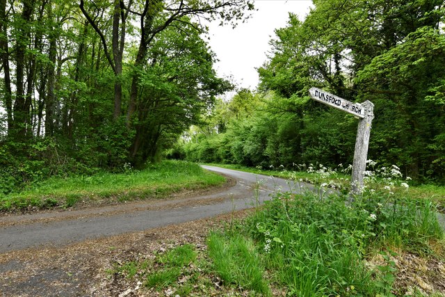
Dunsfold
Dunsfold is a village in the borough of Waverley, Surrey, England, 8.7 miles (14.0 kilometres) south of Guildford. It lies in the Weald and reaches in...

Pickhurst
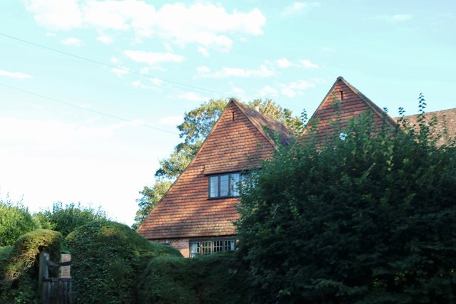
Pickhurst is a grade II* listed house set in 130 acres (53 ha) of land near Chiddingfold, Surrey, England. == History == It was designed by the Scottish...

St Teresa of Avila Church, Chiddingfold
St Teresa of Avila Church is a Roman Catholic Parish church in Chiddingfold, Surrey. It is situated on the corner of Petworth Road and Woodside Road in...

Chiddingfold
Chiddingfold is a village and civil parish in the Weald in the Waverley district of Surrey, England. It lies on the A283 road between Milford and Petworth...

Chiddingfold Forest
Chiddingfold Forest is a 542.5-hectare (1,341-acre) biological Site of Special Scientific Interest in Chiddingfold in Surrey and West Sussex. One part...

The Farm (recording studio)
The Farm (also known as Fisher Lane Farm) was a recording studio in Chiddingfold, Surrey owned by the rock band Genesis. The group bought the property...

Oakhurst Cottage
Oakhurst Cottage is a tiny 16th or 17th-century cottage in Hambledon, Surrey, in the United Kingdom. It is a Grade II listed building.The cottage was given...

Hambledon, Surrey
Hambledon is a rural scattered village in the Waverley borough of Surrey, situated south of Guildford. It is dominated by a buffer zone of fields and woodland...
Related Videos
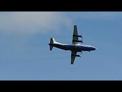
Antanov An-12B
A short video of a very impressive Antanov An-12B circling over work. 11/2/22.

June & Robin Lovelock's visit to Vann, open for the NGS Charity on 29th March 2022
12 minute sequence of photos, the first 2 minutes of which are a summary. The pictures show our visit to Vann, in Hambledon, ...
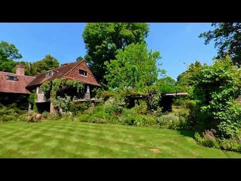
Vann House & Garden, Surrey
A walk around the lovely garden of Vann House in Surrey, some of which was designed by the famous garden designer Gertrude ...
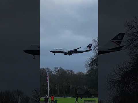
British Airways 747 G-BNLY landing at Dunsfold Aerodrome 5-12-20
British Airways Boeing 747-436 G-BNLY "City Of Swansea" landing at Dunsfold Park Aerodrome on December 5th 2020.
Nearby Amenities
Located within 500m of 51.112061,-0.59298412Have you been to Pignuts Copse?
Leave your review of Pignuts Copse below (or comments, questions and feedback).