Duns Copse
Wood, Forest in Surrey Waverley
England
Duns Copse
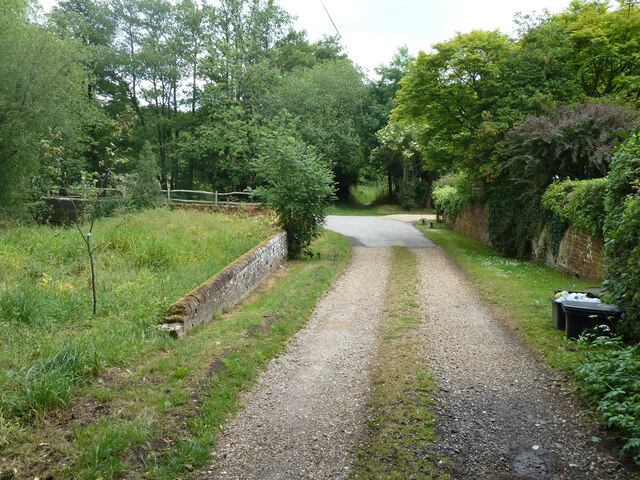
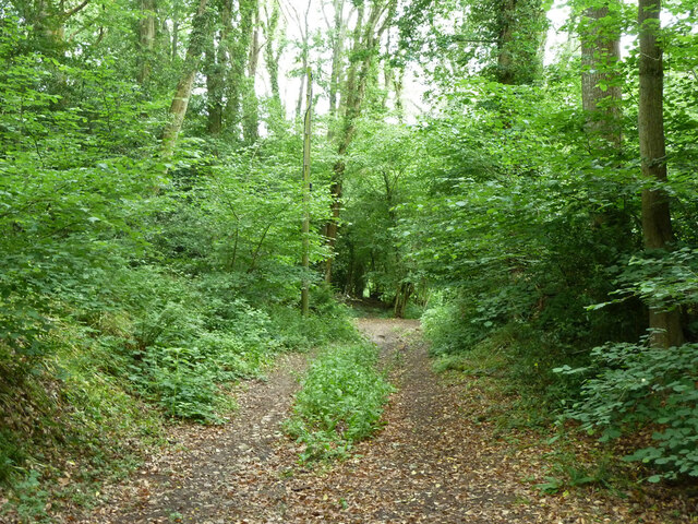
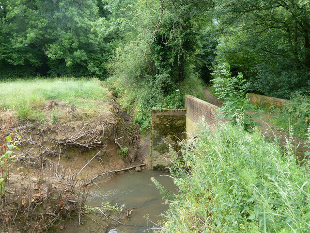
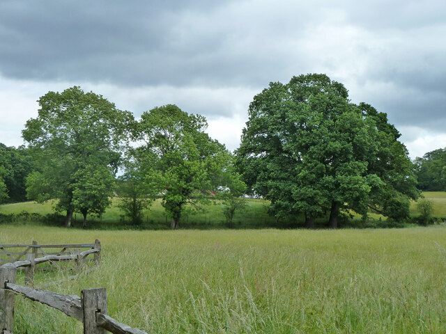
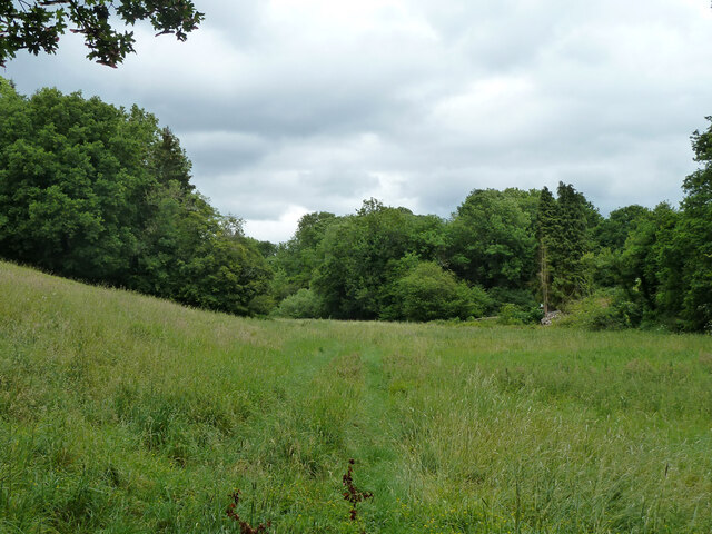
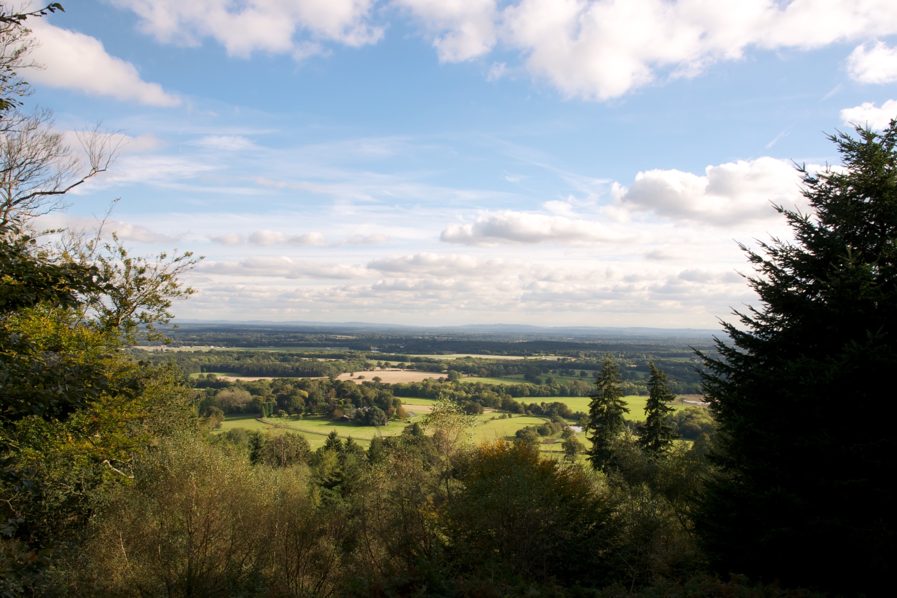
Duns Copse is a picturesque woodland area located in Surrey, England. Covering an area of approximately 100 acres, it is a popular destination for nature enthusiasts, hikers, and those seeking tranquility amidst the beauty of nature. Situated near the village of Thursley, Duns Copse is part of the larger Thursley National Nature Reserve.
The woodland is predominantly composed of oak and birch trees, creating a diverse and vibrant ecosystem. The forest floor is adorned with a rich carpet of wildflowers, including bluebells and primroses, especially during the spring season, attracting a plethora of wildlife.
Duns Copse is known for its abundance of bird species, making it an ideal spot for birdwatching. Visitors can catch glimpses of various woodland birds, such as woodpeckers, nuthatches, and tawny owls. The woodland is also inhabited by other wildlife, including deer, squirrels, and badgers, which can occasionally be spotted by observant visitors.
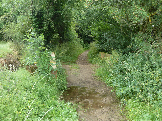
The forest offers several footpaths and trails, allowing visitors to explore its beauty at their own pace. The peaceful ambiance, coupled with the gentle rustling of leaves and birdsong, makes Duns Copse an ideal place for relaxation and meditation. The woodland also provides opportunities for educational activities and nature studies, making it a favorite destination for school trips and nature enthusiasts.
Duns Copse is a cherished natural gem in Surrey, offering an escape from the hustle and bustle of everyday life and providing a haven for both wildlife and humans alike. Its scenic beauty and ecological importance make it a must-visit destination for anyone seeking a connection with nature.
If you have any feedback on the listing, please let us know in the comments section below.
Duns Copse Images
Images are sourced within 2km of 51.114621/-0.58903462 or Grid Reference SU9835. Thanks to Geograph Open Source API. All images are credited.
Duns Copse is located at Grid Ref: SU9835 (Lat: 51.114621, Lng: -0.58903462)
Administrative County: Surrey
District: Waverley
Police Authority: Surrey
What 3 Words
///potential.bleaker.spotted. Near Chiddingfold, Surrey
Nearby Locations
Related Wikis
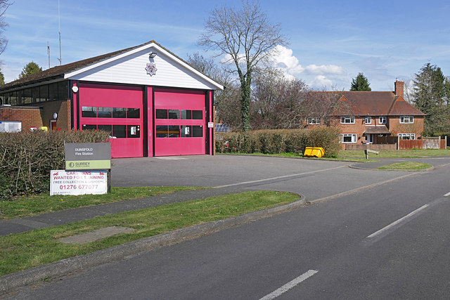
Dunsfold
Dunsfold is a village in the borough of Waverley, Surrey, England, 8.7 miles (14.0 kilometres) south of Guildford. It lies in the Weald and reaches in...
St Teresa of Avila Church, Chiddingfold
St Teresa of Avila Church is a Roman Catholic Parish church in Chiddingfold, Surrey. It is situated on the corner of Petworth Road and Woodside Road in...
Chiddingfold
Chiddingfold is a village and civil parish in the Weald in the Waverley district of Surrey, England. It lies on the A283 road between Milford and Petworth...
Pickhurst
Pickhurst is a grade II* listed house set in 130 acres (53 ha) of land near Chiddingfold, Surrey, England. == History == It was designed by the Scottish...
Chiddingfold Forest
Chiddingfold Forest is a 542.5-hectare (1,341-acre) biological Site of Special Scientific Interest in Chiddingfold in Surrey and West Sussex. One part...
Hascombe Hill
Hascombe Hill or Hascombe Camp is the site of an Iron Age multivallate hill fort close to the village of Hascombe in Surrey, England. == History == The...
Oakhurst Cottage
Oakhurst Cottage is a tiny 16th or 17th-century cottage in Hambledon, Surrey, in the United Kingdom. It is a Grade II listed building.The cottage was given...
The Farm (recording studio)
The Farm (also known as Fisher Lane Farm) was a recording studio in Chiddingfold, Surrey owned by the rock band Genesis. The group bought the property...
Nearby Amenities
Located within 500m of 51.114621,-0.58903462Have you been to Duns Copse?
Leave your review of Duns Copse below (or comments, questions and feedback).
