Great Godalming Copse
Wood, Forest in Surrey Waverley
England
Great Godalming Copse

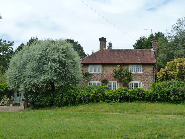
Great Godalming Copse is a picturesque woodland located in Surrey, England. Spanning approximately 200 acres, it is a popular destination for nature enthusiasts and outdoor adventurers. The copse is situated near the town of Godalming, providing easy access for visitors from the surrounding areas.
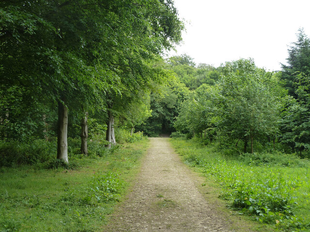
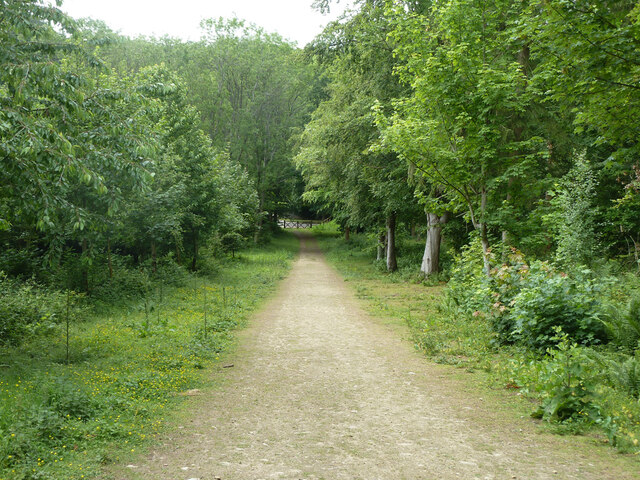
The woodland is characterized by its lush greenery, with a diverse range of tree species including oak, beech, and ash. These trees provide a dense canopy, creating a tranquil and shaded atmosphere within the copse. The forest floor is covered in a thick carpet of moss and ferns, adding to the enchanting beauty of the area.
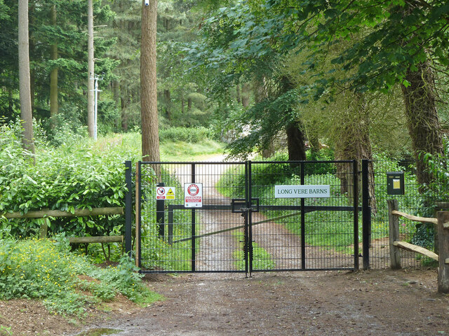
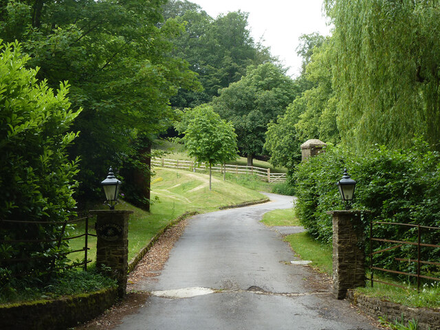
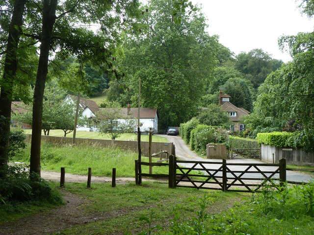
Great Godalming Copse is home to a variety of wildlife, making it an ideal spot for birdwatching and animal spotting. Visitors may have the chance to encounter species such as deer, foxes, badgers, and a wide array of bird species. The copse also features a network of footpaths and trails, allowing visitors to explore the woodland and enjoy its natural splendor.
In addition to its natural beauty, Great Godalming Copse is historically significant. It is believed to have been part of the Royal Forest of Windsor in the past, and remnants of ancient boundaries and earthworks can still be seen within the copse. These historical elements add a sense of mystery and intrigue to the woodland, attracting history enthusiasts and archaeology lovers.
Overall, Great Godalming Copse offers a peaceful and captivating experience for those seeking to immerse themselves in nature. With its rich biodiversity and historical significance, it is a true gem in the Surrey countryside.
If you have any feedback on the listing, please let us know in the comments section below.
Great Godalming Copse Images
Images are sourced within 2km of 51.129774/-0.58831569 or Grid Reference SU9837. Thanks to Geograph Open Source API. All images are credited.


Great Godalming Copse is located at Grid Ref: SU9837 (Lat: 51.129774, Lng: -0.58831569)
Administrative County: Surrey
District: Waverley
Police Authority: Surrey
What 3 Words
///removes.pencils.boast. Near Chiddingfold, Surrey
Related Wikis

Hascombe Hill
Hascombe Hill or Hascombe Camp is the site of an Iron Age multivallate hill fort close to the village of Hascombe in Surrey, England. == History == The...

Hydon's Ball
Hydon's Ball is a 179-metre-high (587 ft) hill covering most of Hydon Heath in Hydestile, Surrey, England. == Description == The hill on Hydon Heath,...

Dunsfold
Dunsfold is a village in the borough of Waverley, Surrey, England, 8.7 miles (14.0 kilometres) south of Guildford. It lies in the Weald and reaches in...

Hambledon, Surrey
Hambledon is a rural scattered village in the Waverley borough of Surrey, situated south of Guildford. It is dominated by a buffer zone of fields and woodland...
Have you been to Great Godalming Copse?
Leave your review of Great Godalming Copse below (or comments, questions and feedback).