Prest Wood
Wood, Forest in Surrey Waverley
England
Prest Wood

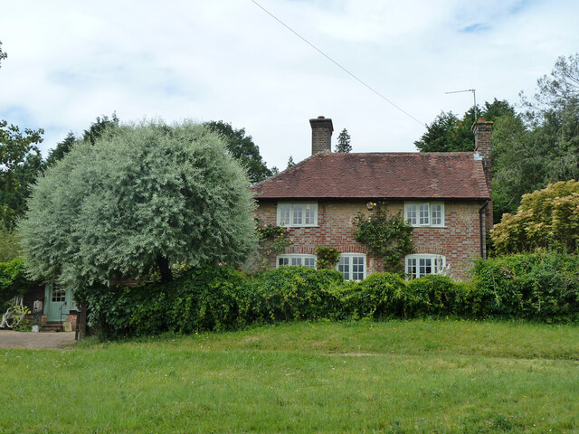
Prest Wood is a small village located in the county of Surrey, England. Situated in the southeastern part of the country, it is nestled within the picturesque Surrey Hills, an Area of Outstanding Natural Beauty. The village is surrounded by dense woodlands and tranquil forests, which contribute to its peaceful and idyllic setting.
The woodlands in Prest Wood are known for their rich biodiversity, with a variety of native tree species such as oak, beech, and birch. These forests provide a habitat for numerous wildlife species, including deer, squirrels, and a variety of bird species, making it a popular destination for nature enthusiasts and wildlife photographers.
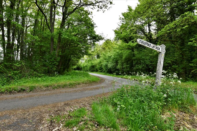
In addition to its natural beauty, Prest Wood offers a range of outdoor recreational opportunities. There are several walking and hiking trails that wind through the surrounding forests, allowing visitors to explore the area's stunning landscapes and enjoy the fresh air. The village also has a number of picnic areas and designated spots for camping, providing opportunities for families and friends to spend quality time together in nature.
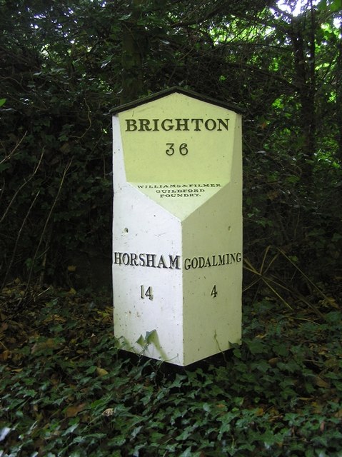
Despite its rural location, Prest Wood is well-connected to nearby towns and cities. The village is just a short drive away from the larger towns of Guildford and Godalming, both of which offer a wide range of amenities and services. Additionally, the village has a small local shop and a pub, providing residents with basic necessities and a place to socialize.
Overall, Prest Wood is a charming village surrounded by beautiful woodlands and forests, offering a peaceful and natural environment for residents and visitors alike.
If you have any feedback on the listing, please let us know in the comments section below.
Prest Wood Images
Images are sourced within 2km of 51.126461/-0.59248949 or Grid Reference SU9837. Thanks to Geograph Open Source API. All images are credited.


Prest Wood is located at Grid Ref: SU9837 (Lat: 51.126461, Lng: -0.59248949)
Administrative County: Surrey
District: Waverley
Police Authority: Surrey
What 3 Words
///pastels.kick.telephone. Near Chiddingfold, Surrey
Related Wikis

Hambledon, Surrey
Hambledon is a rural scattered village in the Waverley borough of Surrey, situated south of Guildford. It is dominated by a buffer zone of fields and woodland...

Hascombe Hill
Hascombe Hill or Hascombe Camp is the site of an Iron Age multivallate hill fort close to the village of Hascombe in Surrey, England. == History == The...

Oakhurst Cottage
Oakhurst Cottage is a tiny 16th or 17th-century cottage in Hambledon, Surrey, in the United Kingdom. It is a Grade II listed building.The cottage was given...

Dunsfold
Dunsfold is a village in the borough of Waverley, Surrey, England, 8.7 miles (14.0 kilometres) south of Guildford. It lies in the Weald and reaches in...

Hydon's Ball
Hydon's Ball is a 179-metre-high (587 ft) hill covering most of Hydon Heath in Hydestile, Surrey, England. == Description == The hill on Hydon Heath, Hydestile...

St Dominic's School
St. Dominic's School in Hambledon, Surrey, England is a co-educational day school, one of the oldest special schools in the United Kingdom. It specialises...

Hascombe Court
Hascombe Court is a 172-acre (70 ha) estate in Hascombe, Surrey, best known for its vast garden designed by Gertrude Jekyll. Hascombe Court is listed Grade...

St Teresa of Avila Church, Chiddingfold
St Teresa of Avila Church is a Roman Catholic Parish church in Chiddingfold, Surrey. It is situated on the corner of Petworth Road and Woodside Road in...
Nearby Amenities
Located within 500m of 51.126461,-0.59248949Have you been to Prest Wood?
Leave your review of Prest Wood below (or comments, questions and feedback).