Ash Piece
Wood, Forest in Sussex Arun
England
Ash Piece

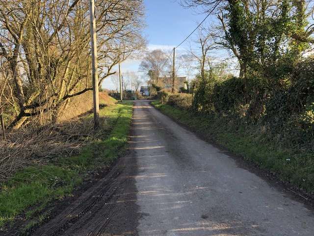
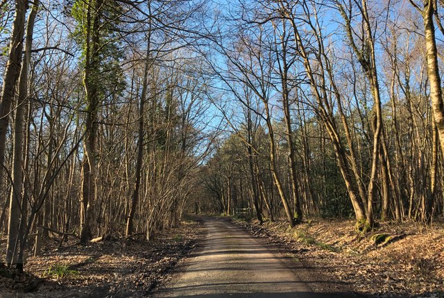
Ash Piece is a woodland area located in the county of Sussex, England. Situated near the village of Ashurst Wood, it covers an area of approximately 20 hectares. The woodland is part of the wider Ashdown Forest, which is a designated Area of Outstanding Natural Beauty.
Ash Piece is predominantly made up of ash trees, hence its name, although there are also other tree species such as oak, birch, and beech present within the forest. The woodland is characterized by a diverse range of flora and fauna, providing a rich habitat for various wildlife species.
The forest is renowned for its scenic beauty, with its dense canopy of trees creating a serene and tranquil atmosphere. It attracts numerous visitors throughout the year, including hikers, nature enthusiasts, and photographers, who come to explore its well-maintained trails and capture its natural splendor.
Ash Piece offers a range of recreational activities for visitors to enjoy. These include walking, birdwatching, and picnicking, making it an ideal spot for families and outdoor enthusiasts. The woodland also has designated areas for camping and barbecues, providing opportunities for overnight stays and outdoor dining.
Furthermore, Ash Piece is home to a variety of wildlife, including deer, badgers, foxes, and an array of bird species. It serves as an important habitat for many rare and endangered species, contributing to the conservation efforts in the area.
Overall, Ash Piece is a picturesque woodland in Sussex, offering a delightful escape into nature and providing a haven for both wildlife and visitors alike.
If you have any feedback on the listing, please let us know in the comments section below.
Ash Piece Images
Images are sourced within 2km of 50.850171/-0.59668662 or Grid Reference SU9806. Thanks to Geograph Open Source API. All images are credited.


Ash Piece is located at Grid Ref: SU9806 (Lat: 50.850171, Lng: -0.59668662)
Administrative County: West Sussex
District: Arun
Police Authority: Sussex
What 3 Words
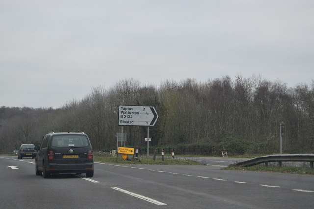
///cares.flips.sprinter. Near Walberton, West Sussex
Nearby Locations
Related Wikis

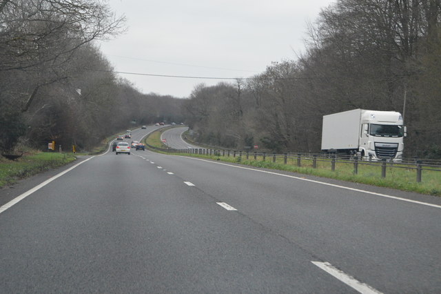
A27 road
The A27 is a major road in England. It runs from its junction with the A36 at Whiteparish (near Salisbury) in the county of Wiltshire, follows the south...

Walberton
Walberton is a village and civil parish in the Arun District of West Sussex, England, 5 miles (8 km) north-west of Littlehampton, and south of the A27...

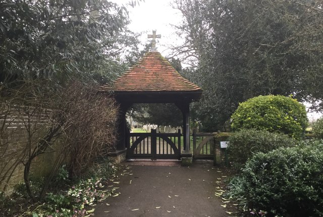
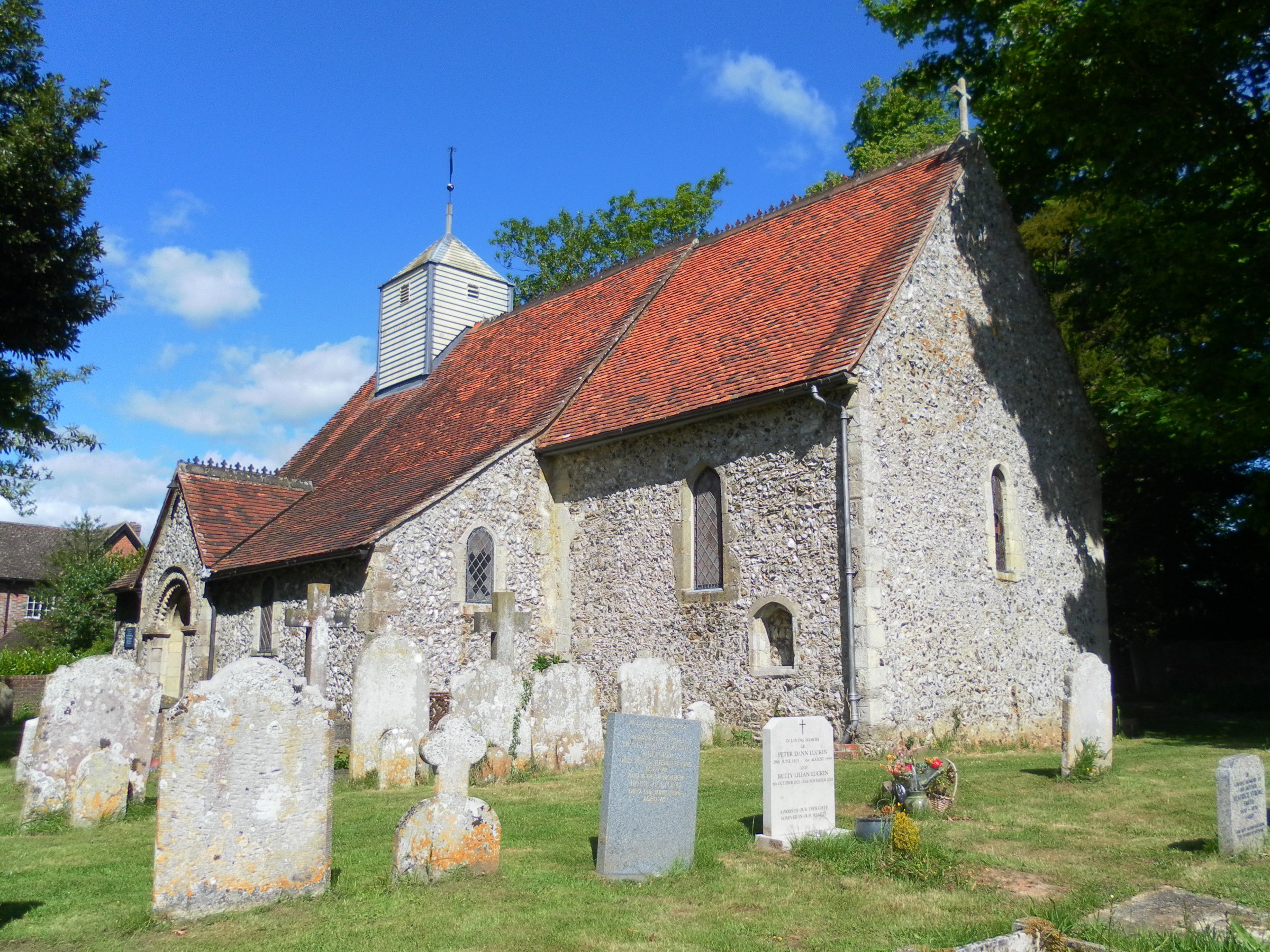
St Mary's Church, Walberton
St Mary's Church is an Anglican church in the village of Walberton in the district of Arun, one of seven local government districts in the English county...
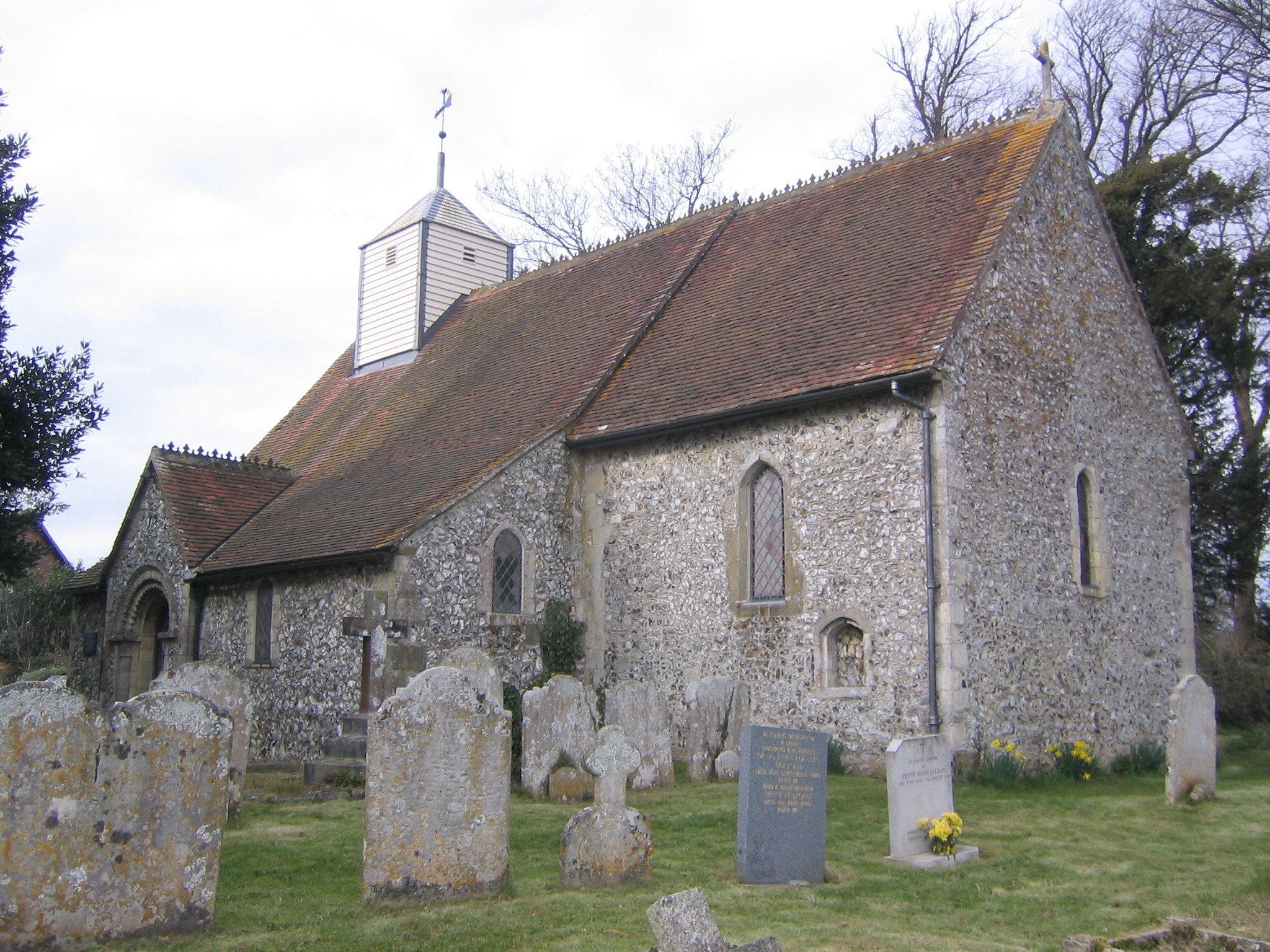
St Mary Magdalene's Church, Tortington
St Mary Magdalene's Church is the former Anglican parish church of the hamlet of Tortington in the district of Arun, one of seven local government districts...
Tortington
Tortington is a small village and former civil parish, now in the parish of Arundel, in the Arun district of West Sussex, England. It lies between the...

Arundel and District Hospital
Arundel and District Hospital is a health facility in Chichester Road, Arundel, West Sussex, England. It is managed by the Sussex Community NHS Foundation...
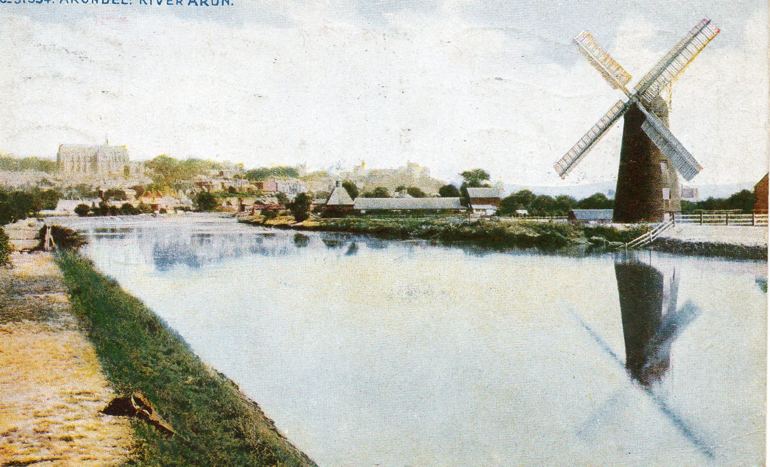
South Marsh Mill, Arundel
South Marsh Mill is a grade II listed tower mill at Arundel, Sussex, England which has been converted to residential use. == History == South Marsh Mill...

Ford railway station
Ford railway station is a railway station in Ford, West Sussex, England. It is located on the West Coastway Line which runs between Brighton and Southampton...
Have you been to Ash Piece?
Leave your review of Ash Piece below (or comments, questions and feedback).