Great Spinney

Wood, Forest in Bedfordshire

England

Great Spinney

The Road to Bourne End A house along the road to Wootton Bourne End, near Wootton.
The Road to Bourne End Credit: Richard Schmidt

The requested URL returned error: 429 Too Many Requests

If you have any feedback on the listing, please let us know in the comments section below.

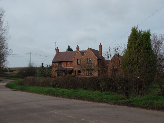
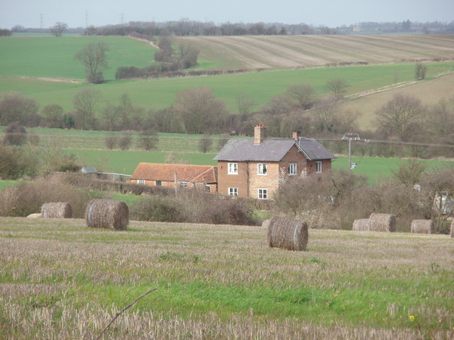
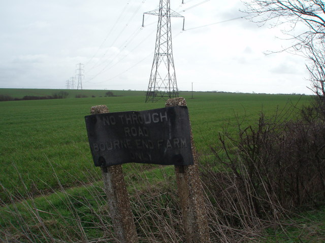
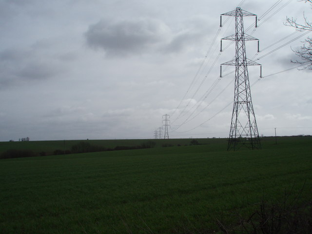
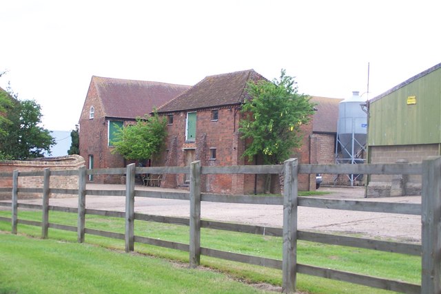
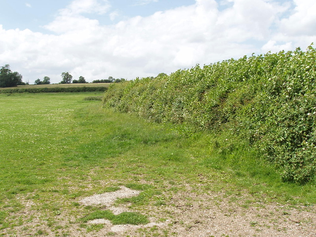
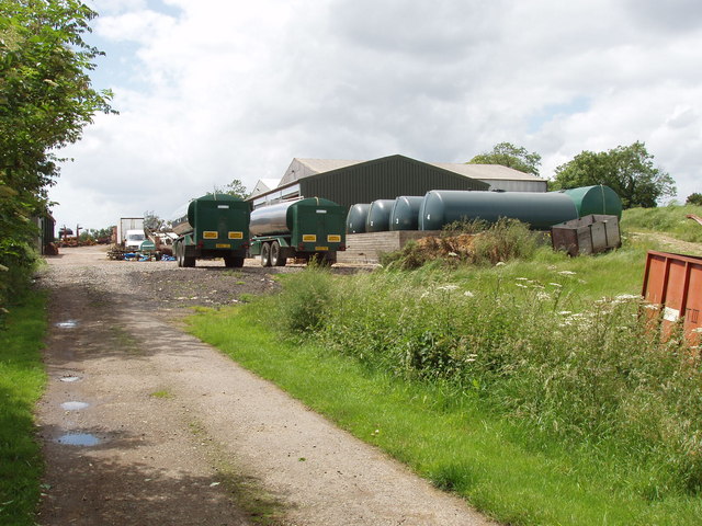
Great Spinney Images

Images are sourced within 2km of 52.094986/-0.55806802 or Grid Reference SP9845. Thanks to Geograph Open Source API. All images are credited.

The Road to Bourne End A house along the road to Wootton Bourne End, near Wootton.
The Road to Bourne End
A house along the road to Wootton Bourne End, near Wootton.
Gadfly Farm Gadfly Farm, Wootton Bourne End.
Gadfly Farm
Gadfly Farm, Wootton Bourne End.
The End of the Road Pylons tower over this old and twisted sign that tell you this is the end of the road.
The End of the Road
Pylons tower over this old and twisted sign that tell you this is the end of the road.
Upper Shelton Entering Upper Shelton from the west.
Upper Shelton
Entering Upper Shelton from the west.
The road to Wootton The road from Cranfield to Wootton at the junction leading to Roxhill Manor Farm.
The road to Wootton
The road from Cranfield to Wootton at the junction leading to Roxhill Manor Farm.
What an Exhibition! The Exhibition, Upper Shelton.
What an Exhibition!
The Exhibition, Upper Shelton.
Wootton Green Houses in Wootton Green.
Wootton Green
Houses in Wootton Green.
Cables Through the Countryside Pylons carry electric cables through these fields and over the horizon.
Cables Through the Countryside
Pylons carry electric cables through these fields and over the horizon.
Farm Buildings Clearly older buildings set amongst modern
Farm Buildings
Clearly older buildings set amongst modern
Oilseed rape field and track (bridleway) Track and bridleway from Roxhill Manor Farm
Oilseed rape field and track (bridleway)
Track and bridleway from Roxhill Manor Farm
Bourne End Farm View along footpath through wheat field.
Bourne End Farm
View along footpath through wheat field.
Oilseed rape at Ashbrook Farm The plants with their seed pods are all tangled together,
Oilseed rape at Ashbrook Farm
The plants with their seed pods are all tangled together,
Pasture and hedge, Hall End of Wootton A footpath runs up beside the hedge.
Pasture and hedge, Hall End of Wootton
A footpath runs up beside the hedge.
Roxhill Manor Farmyard A large farm with a variety of agricultural machinery.
Roxhill Manor Farmyard
A large farm with a variety of agricultural machinery.
Wheatfield by Longcroft Spinney View from junction of bridleways.
Wheatfield by Longcroft Spinney
View from junction of bridleways.
Wheat field, bridleway and cow parsley Just approaching Longcroft Spinney.
Wheat field, bridleway and cow parsley
Just approaching Longcroft Spinney.
Cow parsley, close up from above This is one umbrella of the cow parsley shown in <a href="https://www.geograph.org.uk/photo/474923">NH7649 : Poppies at Tornagrain</a>.
Cow parsley, close up from above
This is one umbrella of the cow parsley shown in NH7649 : Poppies at Tornagrain.
Ripe oilseed rape pods Detail of crop shown in <a href="https://www.geograph.org.uk/photo/471989">SP9844 : Oilseed rape at Ashbrook Farm</a>.
Ripe oilseed rape pods
Detail of crop shown in SP9844 : Oilseed rape at Ashbrook Farm.
Show me another place!

Great Spinney is located at Grid Ref: SP9845 (Lat: 52.094986, Lng: -0.55806802)

Unitary Authority: Bedford

Police Authority: Bedfordshire

What 3 Words

///songbird.masters.afternoon. Near Wootton, Bedfordshire

Related Wikis

Wootton Upper School

Wootton Upper School is an academy school located on Hall End Road, in Wootton, England. It teaches years 9–11 in compulsory education and years 12–13...

Wootton House

Wootton House is a late 17th-century country house in Wootton, Bedfordshire, England. It is a Grade II* listed building.The house is built to a rectangular...

Church of St Mary the Virgin, Wootton, Bedfordshire

Church of St Mary the Virgin is a Grade I listed church in Wootton, Bedfordshire, England. It became a listed building on July 13, 1964.The church is...

Upper Shelton

Upper Shelton is a hamlet in the civil parish of Marston Moreteyne, in the Central Bedfordshire district of Bedfordshire, England. Upper Shelton contains...

Nearby Amenities

Located within 500m of 52.094986,-0.55806802
Power: tower
Lat/Long: 52.0944018/-0.5550241
Power: tower
Lat/Long: 52.0920799/-0.5563678
Power: tower
Lat/Long: 52.095313/-0.5555685
Power: tower
Lat/Long: 52.0937245/-0.5558904
Power: tower
Lat/Long: 52.0963017/-0.5554908
Power: tower
Lat/Long: 52.0943852/-0.5555279
Power: tower
Lat/Long: 52.0919068/-0.5541868
Power: tower
Lat/Long: 52.0970217/-0.5607421
The data included in this document is from www.openstreetmap.org. The data is made available under ODbL.

Have you been to Great Spinney?

Leave your review of Great Spinney below (or comments, questions and feedback).