Allibones Spinney

Wood, Forest in Bedfordshire

England

Allibones Spinney

Turvey
Turvey Credit: Oliver White

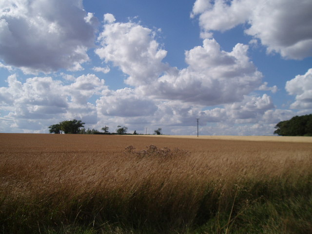
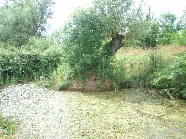
Allibones Spinney is a small woodland area located in the county of Bedfordshire, England. Situated near the village of Allibones, the spinney covers an area of approximately 10 acres.

The woodland is predominantly made up of native deciduous trees such as oak, birch, and ash, providing a diverse and vibrant habitat for a variety of wildlife species. The dense canopy created by the trees allows for a cool and shaded environment, ideal for a range of plants to thrive on the forest floor. Bluebells, primroses, and wild garlic are just a few examples of the beautiful flora that can be found in Allibones Spinney during the spring months.

The spinney is home to a wide range of bird species, including woodpeckers, thrushes, and owls. The abundance of insects and small mammals in the woodland provides a plentiful food source for these birds, making it an attractive location for birdwatchers and wildlife enthusiasts.

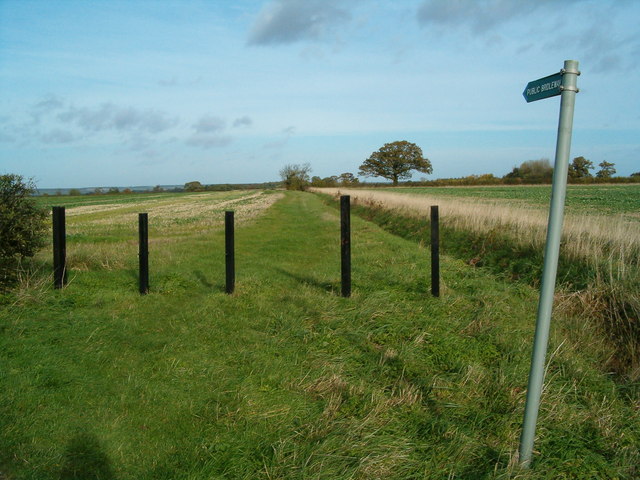
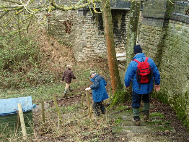
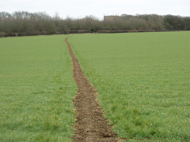
A network of footpaths and trails meander through Allibones Spinney, allowing visitors to explore the area and appreciate its natural beauty. These paths are well-maintained, making it accessible for walkers of all ages and abilities.

Allibones Spinney offers a peaceful and tranquil escape from the hustle and bustle of daily life, allowing visitors to connect with nature and enjoy the serenity of the forest. It is a popular destination for local residents and visitors alike, who come to immerse themselves in the natural surroundings and enjoy the diverse wildlife that calls the spinney home.

If you have any feedback on the listing, please let us know in the comments section below.

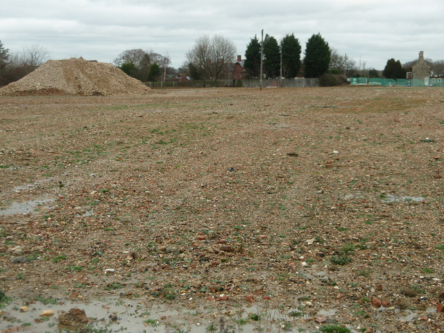
Allibones Spinney Images

Images are sourced within 2km of 52.149007/-0.61136661 or Grid Reference SP9550. Thanks to Geograph Open Source API. All images are credited.

Path to Turvey Stood on the Buckinghamshire/Bedfordshire border at Gorwelle, looking north along the path to Turvey.
Path to Turvey
Stood on the Buckinghamshire/Bedfordshire border at Gorwelle, looking north along the path to Turvey.
Entrance to the Turvey Farms The entrance to Lodge Farm and Crown Farm.
Entrance to the Turvey Farms
The entrance to Lodge Farm and Crown Farm.
An unusual stile An unusual style of stile, giving access to a footbridge over a gully.
An unusual stile
An unusual style of stile, giving access to a footbridge over a gully.
Stagnant Pond
Stagnant Pond
Wheat Field
Wheat Field
Footpath through the wheat field
Turvey from the air By a bend in the Great Ouse.
Turvey from the air
By a bend in the Great Ouse.
Descending on to the old railway track bed A footpath runs along the former railway line but you need to descend with care from the bridleway.
Descending on to the old railway track bed
A footpath runs along the former railway line but you need to descend with care from the bridleway.
Bridge over the old railway The bridge appears to have been built for farm access over the railway cutting. The track is for a light industrial railway collection.
Bridge over the old railway
The bridge appears to have been built for farm access over the railway cutting. The track is for a light industrial railway collection.
Footpath through the winter barley crop The distant building is a water tower by the A428
Footpath through the winter barley crop
The distant building is a water tower by the A428
Looking over to Gorse Farm
Former railway yard and grain store Not much to see now but a couple of useful "links" showing the previous usage of this site. The first <a href="https://www.geograph.org.uk/photo/1202355">SP9551 : Disused grain silos near Elderswell Farm</a> shows a distant view of the former Quenby Price/ Cargill grain silo and the second <span class="nowrap"><a title="http://www.derelictplaces.co.uk/main/showthread.php?t=16390" rel="nofollow ugc noopener" href="http://www.derelictplaces.co.uk/main/showthread.php?t=16390">Link</a><img style="margin-left:2px;" alt="External link" title="External link - shift click to open in new window" src="https://s1.geograph.org.uk/img/external.png" width="10" height="10"/></span> is self explanatory.
Former railway yard and grain store
Not much to see now but a couple of useful "links" showing the previous usage of this site. The first SP9551 : Disused grain silos near Elderswell Farm shows a distant view of the former Quenby Price/ Cargill grain silo and the second LinkExternal link is self explanatory.
Gable wall on the old vicarage Probably just the builder showing off his skills in a house that many people would see and visit in such a prominent location.
Gable wall on the old vicarage
Probably just the builder showing off his skills in a house that many people would see and visit in such a prominent location.
The Three Cranes A Greene King pub, where a pint of Robert Burns ale from the Belhaven brewery was well presented.
The Three Cranes
A Greene King pub, where a pint of Robert Burns ale from the Belhaven brewery was well presented.
Benchmark on the butcher's shop Located on the left-hand wall on the butcher's shop which is next door to the Three Cranes public house. <a href="https://www.geograph.org.uk/photo/2780336">SP9452 : The Three Cranes</a>
Benchmark on the butcher's shop
Located on the left-hand wall on the butcher's shop which is next door to the Three Cranes public house. SP9452 : The Three Cranes
Village shop A village shop with a bit of character.
Village shop
A village shop with a bit of character.
Village Shop,Turvey Shop premises with character.
Village Shop,Turvey
Shop premises with character.
Show me another place!

Allibones Spinney is located at Grid Ref: SP9550 (Lat: 52.149007, Lng: -0.61136661)

Unitary Authority: Bedford

Police Authority: Bedfordshire

What 3 Words

///shared.clef.answers. Near Stagsden, Bedfordshire

Related Wikis

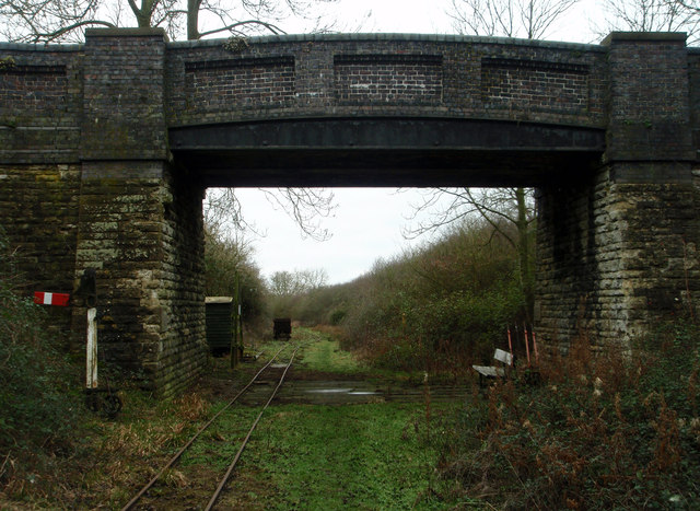
Turvey railway station

Turvey was a railway station on the Bedford to Northampton Line which served the village of Turvey from 1872 to 1962. == History == Opened by the Bedford...

Turvey Abbey

Turvey Abbey is located in the village of Turvey in the English county of Bedfordshire. It is dated 1605 on the north facade and 1608 on the south facade...

A428 road

The A428 road is a major road in central and eastern England. It runs between the cities of Coventry and Cambridge by way of the county towns of Northampton...

Stevington and Turvey Light Railway

The Stevington and Turvey Light Railway was a 2 ft (610 mm) narrow gauge light railway on the outskirts of the village of Turvey in Bedfordshire, England...

Turvey, Bedfordshire

Turvey is a village and civil parish on the River Great Ouse in the Borough of Bedford, Bedfordshire, England, about 7 miles (11 km) west of Bedford town...

Turvey House and Gardens

Turvey House and Gardens are a country house, gardens and parkland, situated by the village of Turvey in Bedfordshire, England. The gardens and parkland...

Cold Brayfield

Cold Brayfield is a village and civil parish in the unitary authority area of the City of Milton Keynes, Buckinghamshire, England. It is about 3 miles...

Newton Blossomville

Newton Blossomville is a village in the unitary authority area of the City of Milton Keynes, Buckinghamshire, England. It is a civil parish, sharing a...

Have you been to Allibones Spinney?

Leave your review of Allibones Spinney below (or comments, questions and feedback).