Horseclose Spinney
Wood, Forest in Bedfordshire
England
Horseclose Spinney
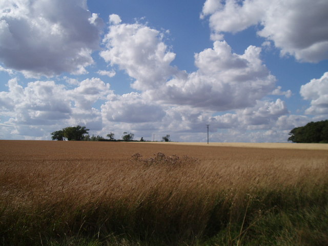
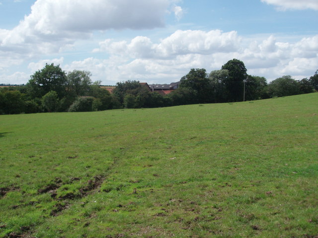
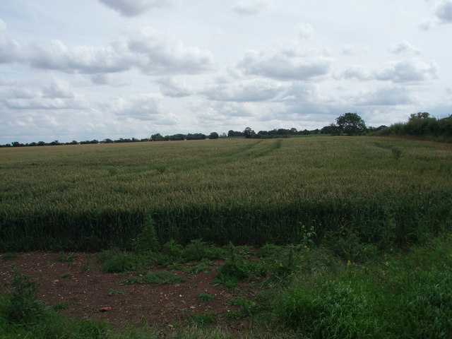
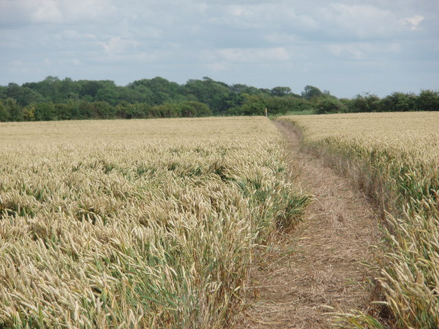
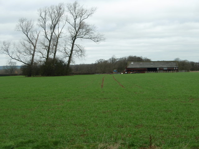
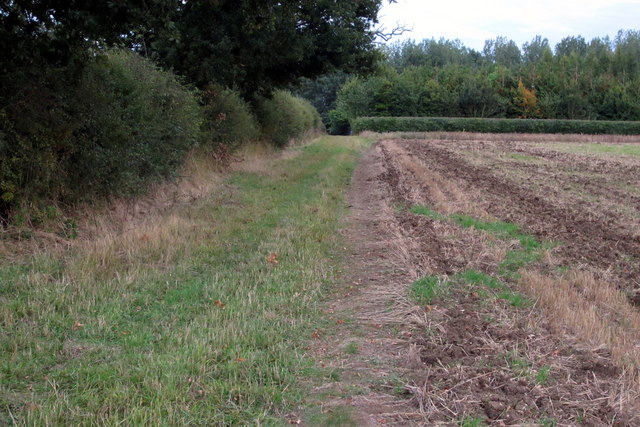
Horseclose Spinney is a beautiful woodland area located in Bedfordshire, England. Covering an area of approximately 10 hectares, this enchanting spinney is a haven for nature enthusiasts and a popular destination for outdoor activities.
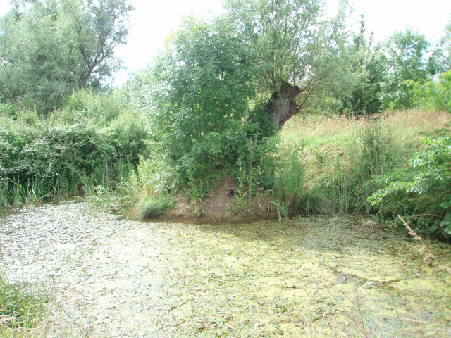
The spinney is characterized by a diverse range of native trees, including oak, beech, and ash, which create a dense and verdant canopy. In addition to the towering trees, the forest floor is adorned with an array of wildflowers and ferns, providing a stunning display of colors during the spring and summer months.
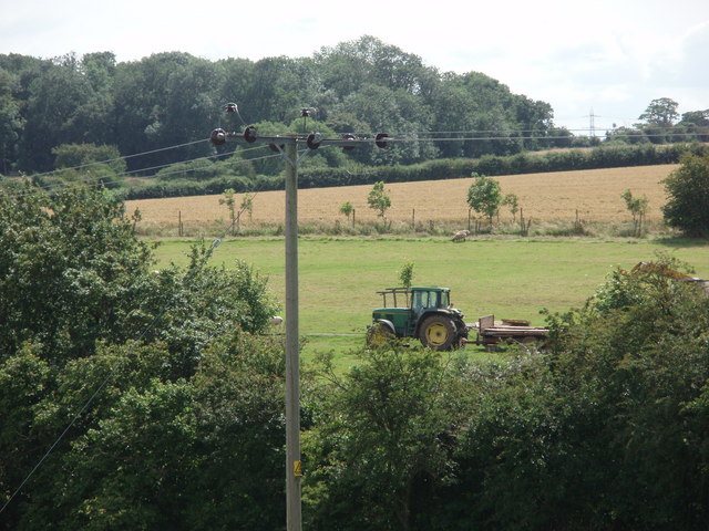
The woodland is home to a variety of wildlife, including deer, foxes, and a plethora of bird species. Birdwatchers flock to Horseclose Spinney to catch a glimpse of rare species such as the great spotted woodpecker and tawny owl. The tranquil atmosphere and abundance of wildlife make this spinney a perfect spot for nature photography and peaceful walks.
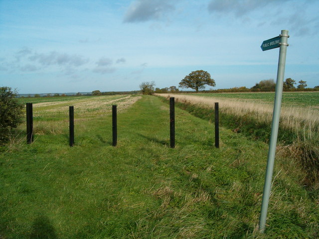
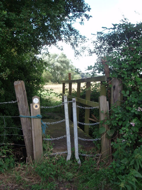
There are several well-maintained footpaths that wind through the spinney, allowing visitors to explore the area at their own pace. These paths are also popular among joggers and cyclists who enjoy the serene ambiance and natural beauty of the woodland.
Horseclose Spinney is easily accessible, with ample parking facilities and nearby public transportation options. The spinney is open to the public throughout the year and is managed by the local Bedfordshire Wildlife Trust, ensuring its preservation and protection for future generations to enjoy.
Whether you are seeking a peaceful retreat or an opportunity to immerse yourself in nature, Horseclose Spinney is a must-visit destination in Bedfordshire. Its idyllic surroundings and abundant wildlife make it a true gem for nature lovers and outdoor enthusiasts alike.
If you have any feedback on the listing, please let us know in the comments section below.
Horseclose Spinney Images
Images are sourced within 2km of 52.14047/-0.60569925 or Grid Reference SP9550. Thanks to Geograph Open Source API. All images are credited.


Horseclose Spinney is located at Grid Ref: SP9550 (Lat: 52.14047, Lng: -0.60569925)
Unitary Authority: Bedford
Police Authority: Bedfordshire
What 3 Words
///spun.joints.foremost. Near Stagsden, Bedfordshire
Nearby Locations
Related Wikis

Turvey railway station
Turvey was a railway station on the Bedford to Northampton Line which served the village of Turvey from 1872 to 1962. == History == Opened by the Bedford...
Turvey Abbey
Turvey Abbey is located in the village of Turvey in the English county of Bedfordshire. It is dated 1605 on the north facade and 1608 on the south facade...
A428 road
The A428 road is a major road in central and eastern England. It runs between the cities of Coventry and Cambridge by way of the county towns of Northampton...

Stevington and Turvey Light Railway
The Stevington and Turvey Light Railway was a 2 ft (610 mm) narrow gauge light railway on the outskirts of the village of Turvey in Bedfordshire, England...
Astwood, Buckinghamshire
Astwood is a village in the unitary authority area of the City of Milton Keynes, Buckinghamshire, England. It is located on the border with Bedfordshire...

Turvey, Bedfordshire
Turvey is a village and civil parish on the River Great Ouse in the Borough of Bedford, Bedfordshire, England, about 7 miles (11 km) west of Bedford town...

Church of St Leonard, Stagsden
Church of St Leonard is a Grade I listed church in Stagsden, Bedfordshire, England. It became a listed building on 13 July 1964. == See also == Grade...

Stagsden
Stagsden is a small but historic village and civil parish located in the Borough of Bedford, northwest Bedfordshire, England, near the Buckinghamshire...
Nearby Amenities
Located within 500m of 52.14047,-0.60569925Have you been to Horseclose Spinney?
Leave your review of Horseclose Spinney below (or comments, questions and feedback).