Dobbins Spinney
Wood, Forest in Bedfordshire
England
Dobbins Spinney
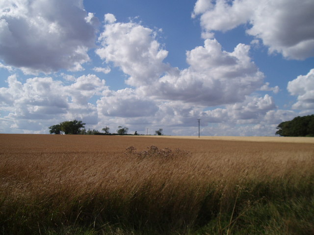
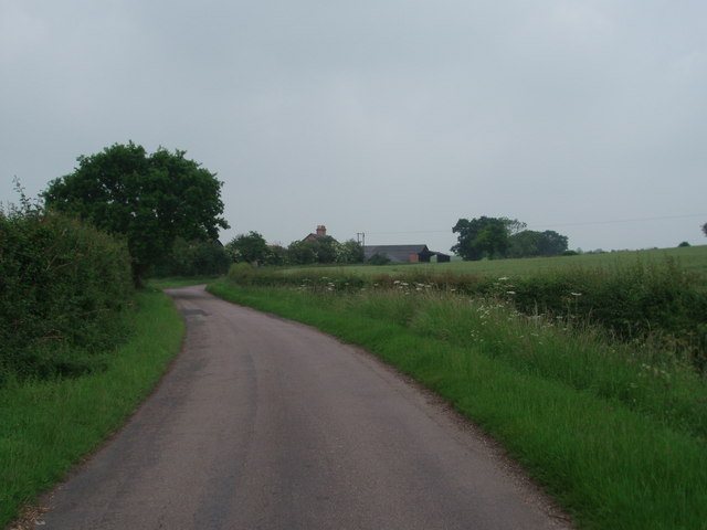
Dobbins Spinney is a picturesque woodland located in the county of Bedfordshire, England. Situated near the village of Wood, this forested area is a popular destination for nature enthusiasts and outdoor lovers.
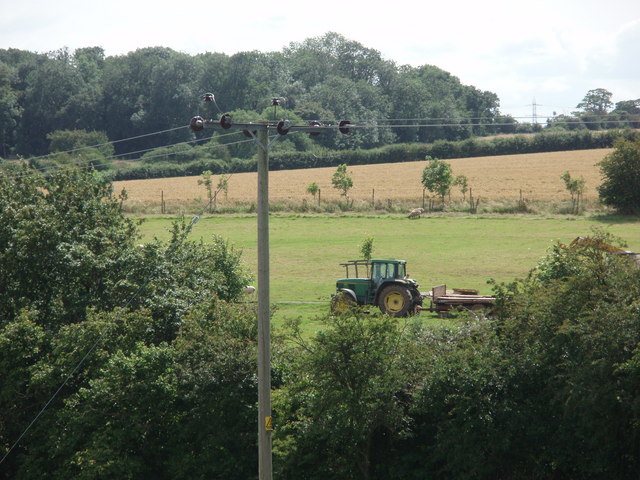
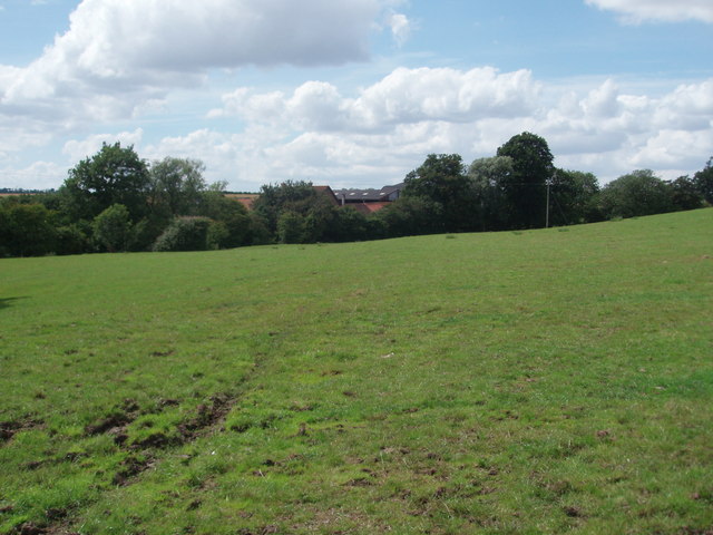
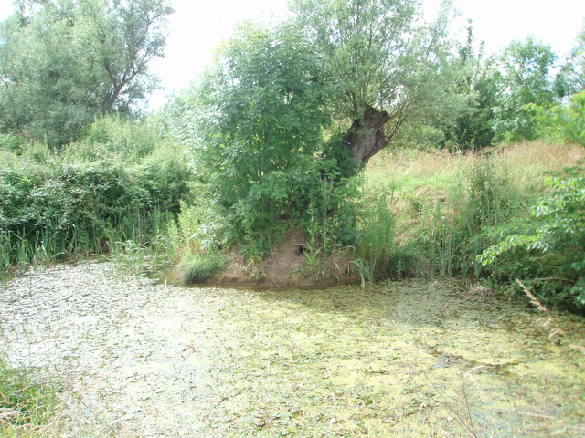
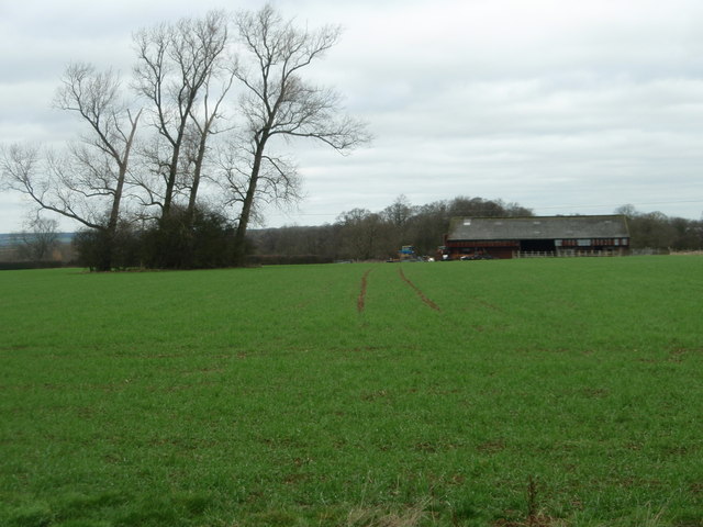
Covering an area of approximately 30 acres, Dobbins Spinney boasts a diverse range of tree species, including oak, beech, and birch. The woodland is characterized by its dense canopy, providing a shaded and tranquil environment for visitors. The forest floor is adorned with a rich carpet of wildflowers and ferns, creating a vibrant and colorful display during the spring and summer months.
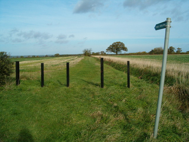
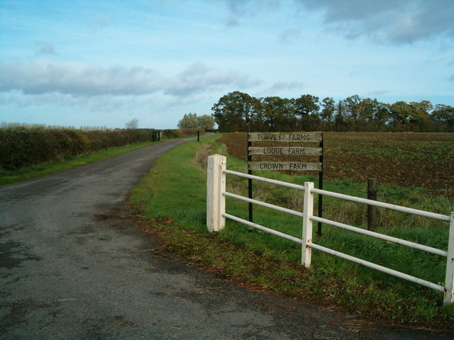
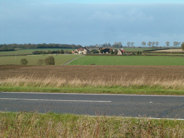
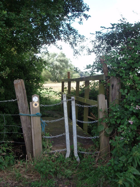
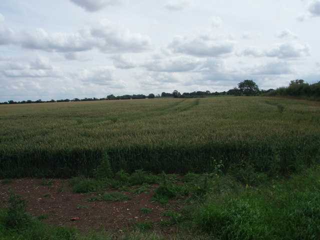
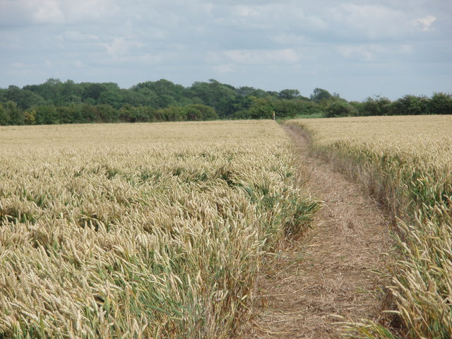
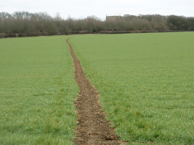
The woodland is crisscrossed by a network of well-maintained footpaths, allowing visitors to explore the area and enjoy the natural beauty at their own pace. These paths lead visitors through a variety of habitats, including open clearings, meandering streams, and small ponds, home to a plethora of wildlife. Birdwatchers can spot a range of avian species, such as woodpeckers, thrushes, and owls, while animal enthusiasts may encounter squirrels, rabbits, and even deer.
Dobbins Spinney is a haven for those seeking a peaceful escape from the hustle and bustle of daily life. The forest provides an ideal setting for picnics, family outings, or simply a leisurely stroll in nature. The area also offers opportunities for more adventurous activities, such as orienteering or geocaching, for those looking to add a sense of challenge and exploration to their visit.
Overall, Dobbins Spinney is a charming woodland retreat, offering visitors a chance to immerse themselves in the beauty of nature and experience the tranquility of the Bedfordshire countryside.
If you have any feedback on the listing, please let us know in the comments section below.
Dobbins Spinney Images
Images are sourced within 2km of 52.141457/-0.60094835 or Grid Reference SP9550. Thanks to Geograph Open Source API. All images are credited.


Dobbins Spinney is located at Grid Ref: SP9550 (Lat: 52.141457, Lng: -0.60094835)
Unitary Authority: Bedford
Police Authority: Bedfordshire
What 3 Words
///mistaking.hairstyle.spared. Near Stagsden, Bedfordshire
Nearby Locations
Related Wikis

Turvey railway station
Turvey was a railway station on the Bedford to Northampton Line which served the village of Turvey from 1872 to 1962. == History == Opened by the Bedford...
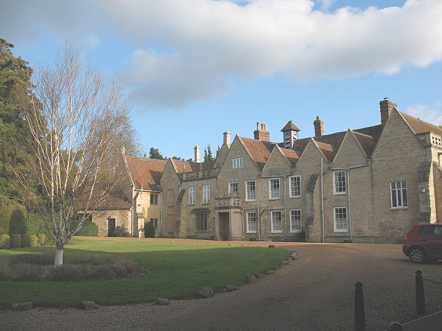
Turvey Abbey
Turvey Abbey is located in the village of Turvey in the English county of Bedfordshire. It is dated 1605 on the north facade and 1608 on the south facade...
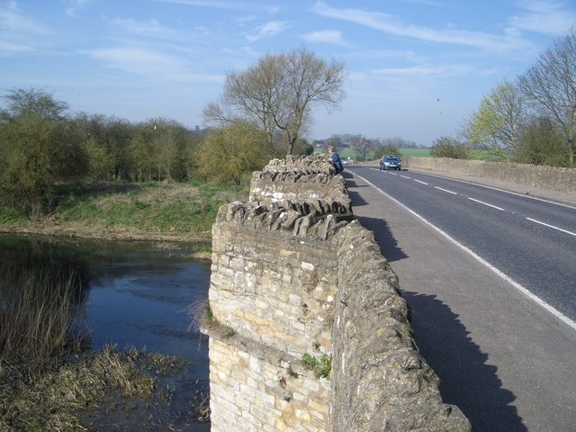
A428 road
The A428 road is a major road in central and eastern England. It runs between the cities of Coventry and Cambridge by way of the county towns of Northampton...

Church of St Leonard, Stagsden
Church of St Leonard is a Grade I listed church in Stagsden, Bedfordshire, England. It became a listed building on 13 July 1964. == See also == Grade...

Stevington and Turvey Light Railway
The Stevington and Turvey Light Railway was a 2 ft (610 mm) narrow gauge light railway on the outskirts of the village of Turvey in Bedfordshire, England...

Stagsden
Stagsden is a small but historic village and civil parish located in the Borough of Bedford, northwest Bedfordshire, England, near the Buckinghamshire...

Turvey, Bedfordshire
Turvey is a village and civil parish on the River Great Ouse in the Borough of Bedford, Bedfordshire, England, about 7 miles (11 km) west of Bedford town...
Astwood, Buckinghamshire
Astwood is a village in the unitary authority area of the City of Milton Keynes, Buckinghamshire, England. It is located on the border with Bedfordshire...
Nearby Amenities
Located within 500m of 52.141457,-0.60094835Have you been to Dobbins Spinney?
Leave your review of Dobbins Spinney below (or comments, questions and feedback).