Yew Clump
Wood, Forest in Sussex Chichester
England
Yew Clump
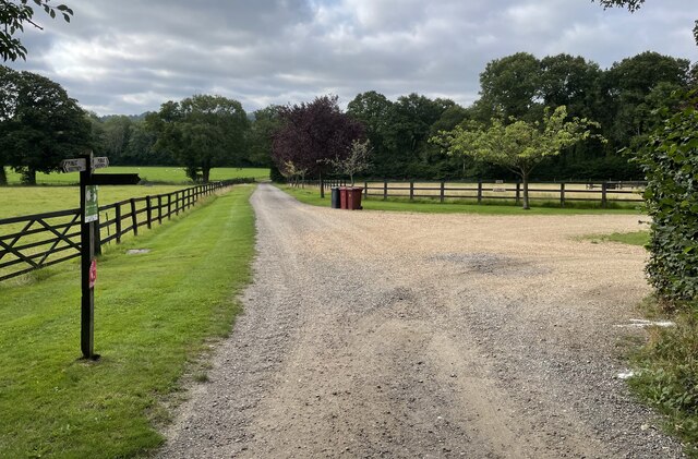
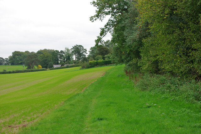
Yew Clump, located in Sussex, England, is a small wood or forest known for its significant population of yew trees (Taxus baccata). It covers an area of approximately 10 acres and is nestled within the picturesque countryside of Sussex, making it a popular destination for nature enthusiasts and hikers.
The yew trees in Yew Clump are estimated to be several hundred years old, with some specimens dating back to the medieval period. These evergreen trees are characterized by their dark green foliage and red berries, which are highly toxic if ingested. The yew trees in Yew Clump have a distinct gnarled and twisted appearance, adding to the enchanting atmosphere of the woodland.
The forest floor of Yew Clump is covered in a thick carpet of moss, adding to the sense of tranquility and ancient charm. Various other species of plants and fungi can also be found in this woodland, creating a diverse ecosystem. The wood provides a habitat for a range of wildlife, including birds, small mammals, and insects.
Yew Clump offers several walking trails and paths, allowing visitors to explore the woodland and enjoy its natural beauty. It is particularly popular during the spring and summer months when the yew trees are in full bloom, creating a stunning display of vibrant green foliage.
Overall, Yew Clump in Sussex is a captivating woodland, cherished for its ancient yew trees, rich biodiversity, and idyllic surroundings. Whether it's for a peaceful walk, nature photography, or simply to appreciate the beauty of these majestic trees, Yew Clump offers a truly magical experience for visitors.
If you have any feedback on the listing, please let us know in the comments section below.
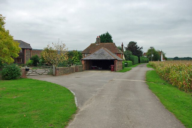
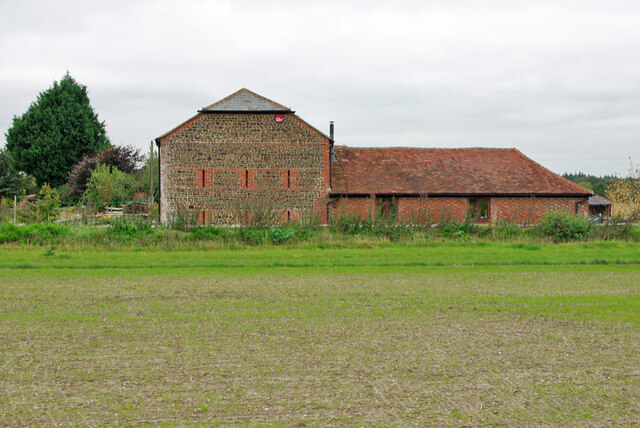
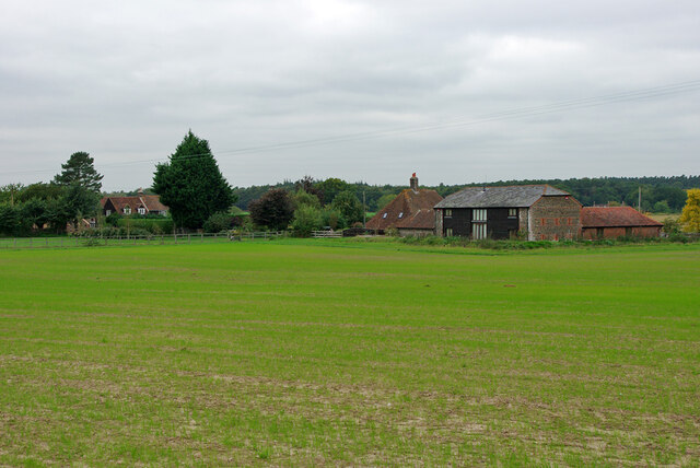
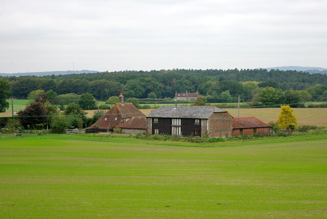
Yew Clump Images
Images are sourced within 2km of 50.939363/-0.64769084 or Grid Reference SU9516. Thanks to Geograph Open Source API. All images are credited.


![Burton House Originally built in 1831 as a private residence for Henry Bassett, Burton Park [House] served for many years as a girl's school - St Michael's. The mansion, like many others in West Sussex, has been converted into luxury housing. Many of the grandest rooms in the building are now incorporated into spectacular apartments - and a cluster of very attractive houses have been built to the north and east of the building. [taken from WestSussex.info]](https://s2.geograph.org.uk/geophotos/07/44/58/7445870_7eb89a4c.jpg)


Yew Clump is located at Grid Ref: SU9516 (Lat: 50.939363, Lng: -0.64769084)
Administrative County: West Sussex
District: Chichester
Police Authority: Sussex
What 3 Words
///factories.inflating.triangles. Near Petworth, West Sussex
Nearby Locations
Related Wikis

East Lavington
East Lavington, formerly Woolavington, is a village and civil parish in the District of Chichester in West Sussex, England. It is located six kilometres...
Duncton
Duncton is a village and civil parish in the District of Chichester in West Sussex, England. The village is in the South Downs 3 miles (5 km) south of...

Burton Park
Burton Park is a 19th-century country house in the civil parish of Duncton in West Sussex, and is situated 1/2 a mile to the east of the village of Duncton...

Barlavington
Barlavington is a small village and civil parish in the Chichester district of West Sussex, England. The village is situated about four miles (6.4 km)...
Lavington Common
Lavington Common is a 31.2-hectare (77-acre) biological Site of Special Scientific Interest south-west of Petworth in West Sussex. It is a National Trust...

Graffham
Graffham is a village, Anglican parish and civil parish in West Sussex, England, situated on the northern escarpment of the South Downs within the South...

Upwaltham
Upwaltham is a scattered settlement and civil parish in the South Downs, in the District of Chichester of West Sussex, England. It surrounds a parish church...
Burton Park SSSI
Burton Park SSSI is a 57.7-hectare (143-acre) biological Site of Special Scientific Interest west of Pulborough in West Sussex. A larger area of 63 hectares...
Nearby Amenities
Located within 500m of 50.939363,-0.64769084Have you been to Yew Clump?
Leave your review of Yew Clump below (or comments, questions and feedback).