Park Wood
Wood, Forest in Surrey Surrey Heath
England
Park Wood
Park Wood is a small woodland area located in the county of Surrey, England. Covering an area of approximately 30 hectares, the wood is situated near the village of Forest Green, within the larger Surrey Hills Area of Outstanding Natural Beauty. It is easily accessible, located just off the A25 road between Dorking and Oxted.
Park Wood is characterized by its diverse range of tree species, including oak, ash, beech, and birch. The woodland is known for its rich biodiversity, providing a habitat for various flora and fauna. It is home to a variety of bird species, such as woodpeckers, owls, and songbirds.
The wood offers a tranquil environment for visitors to enjoy nature and engage in outdoor activities. There are well-maintained footpaths that wind through the woodland, providing opportunities for leisurely walks, jogging, and dog walking. The paths also lead to a small pond, where visitors can observe aquatic life and enjoy peaceful moments by the water.
Park Wood is managed by the Surrey Wildlife Trust, a conservation organization dedicated to preserving and enhancing natural habitats. The Trust ensures that the woodland remains a safe and welcoming place for both wildlife and visitors. They regularly organize educational events and guided walks to promote environmental awareness and appreciation for the natural beauty of the area.
Overall, Park Wood is a picturesque woodland in Surrey, offering a peaceful retreat for those seeking solace in nature.
If you have any feedback on the listing, please let us know in the comments section below.
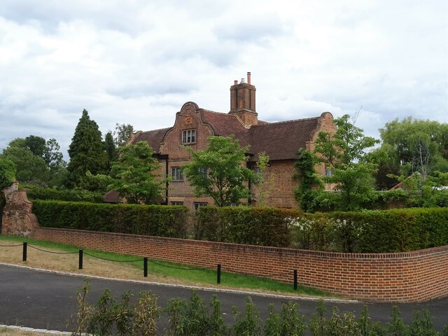
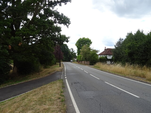
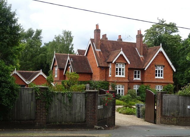
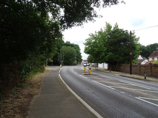
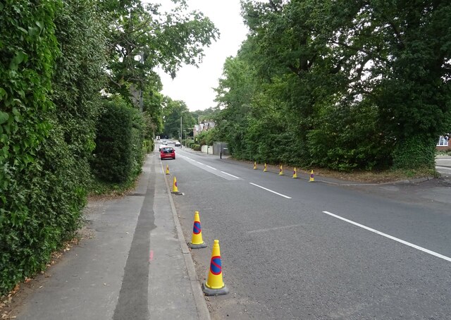
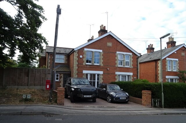
Park Wood Images
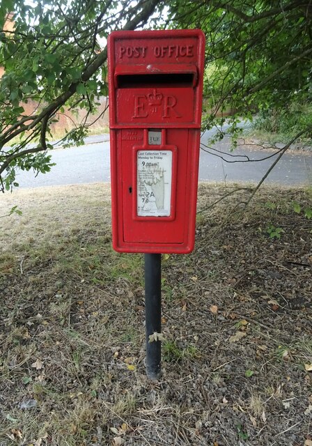
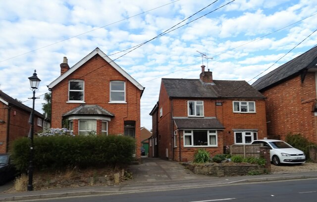
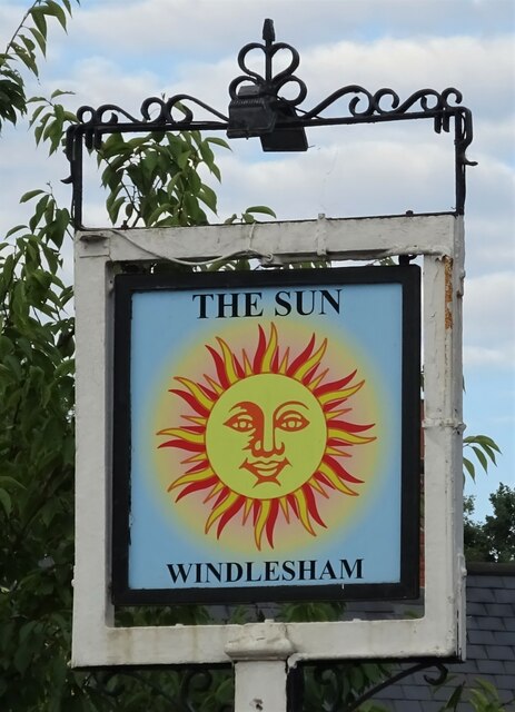
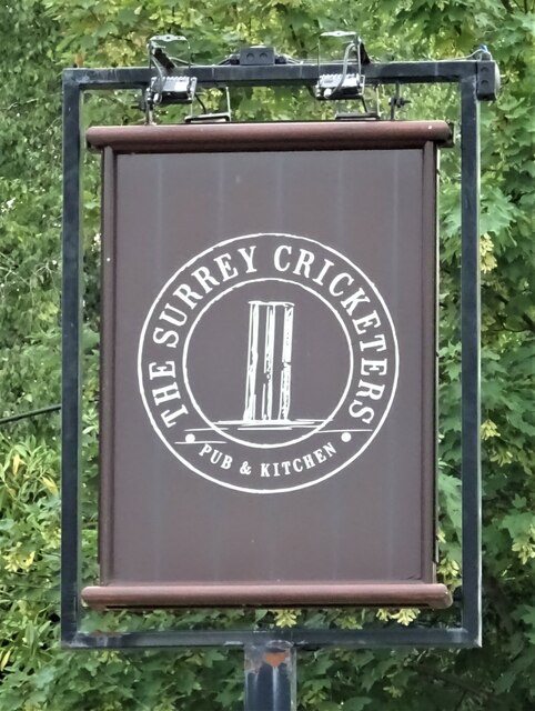
Images are sourced within 2km of 51.360897/-0.63534377 or Grid Reference SU9563. Thanks to Geograph Open Source API. All images are credited.


Park Wood is located at Grid Ref: SU9563 (Lat: 51.360897, Lng: -0.63534377)
Administrative County: Surrey
District: Surrey Heath
Police Authority: Surrey
What 3 Words
///fear.motion.insect. Near Windlesham, Surrey
Nearby Locations
Related Wikis

Updown Court
Updown Court is a Californian style residence situated in the village of Windlesham in Surrey, England. The 103-room mansion has 58 acres (23 ha) of landscaped...

Ribsden Holt
Ribsden Holt is a former royal residence at Windlesham, Surrey, England. It was the country home of Princess Louise, Duchess of Argyll who bequeathed it...

Windlesham
Windlesham is a village in the Surrey Heath borough of Surrey, England, approximately 25 miles (40 km) south west of central London. Its name derives from...
Gordon's School
Gordon's School is a secondary school with academy status in West End near Woking, Surrey, England. It was founded as the Gordon Boys' Home in 1885. It...
2015 Senior Open Championship
The 2015 Senior Open Championship was a senior major golf championship and the 29th Senior Open Championship, held on 22–25 July at Sunningdale Golf Club...
2016 Senior Open Championship
The 2016 Senior Open Championship was a senior major golf championship and the 30th Senior Open Championship, held on 21–24 July at Carnoustie Golf Links...
2021 Senior Open Championship
The 2021 Senior Open Championship was a senior major golf championship and the 34th Senior Open Championship, held on 22–25 July at Sunningdale Golf Club...
2009 Senior Open Championship
The 2009 Senior Open Championship was a senior major golf championship and the 23rd Senior Open Championship, held on 23–26 July at Sunningdale Golf Club...
Nearby Amenities
Located within 500m of 51.360897,-0.63534377Have you been to Park Wood?
Leave your review of Park Wood below (or comments, questions and feedback).