Abesters Copse
Wood, Forest in Sussex Chichester
England
Abesters Copse
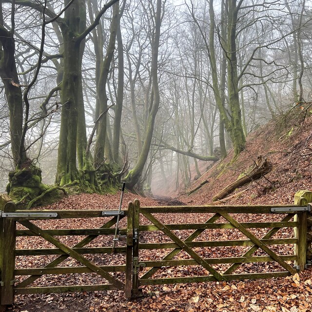
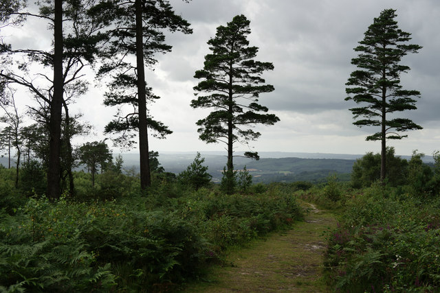
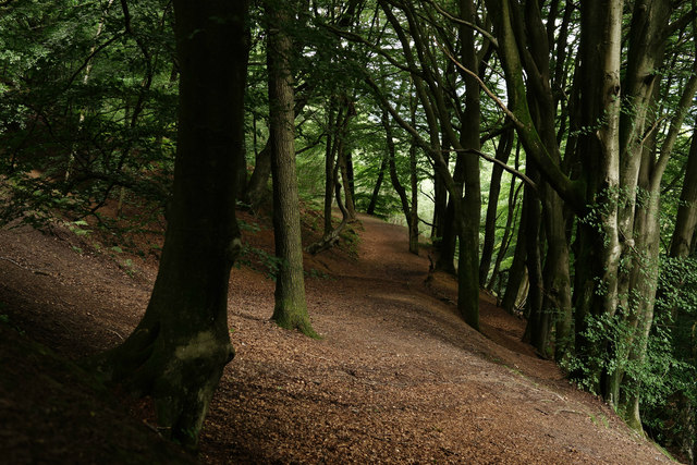
Abesters Copse is a picturesque woodland located in the county of Sussex, England. Situated near the village of Abesters, the copse covers an area of approximately 50 acres and is known for its natural beauty and diverse ecosystem.
The forest is predominantly composed of oak and beech trees, which provide a dense canopy that filters sunlight and creates a tranquil atmosphere within the copse. This dense vegetation also supports a wide variety of flora and fauna, making it a popular destination for nature enthusiasts and wildlife photographers.
Abesters Copse is home to numerous bird species, including the rare nightingale and the colorful kingfisher. Visitors can often spot these birds perched on branches or flying through the clearings. Additionally, the copse is inhabited by several species of mammals, such as deer, foxes, and badgers, which can be occasionally spotted during early morning or dusk.
The copse offers a well-maintained network of walking trails, allowing visitors to explore its beauty at their own pace. These trails meander through the woodland, offering glimpses of enchanting wildflowers, moss-covered rocks, and bubbling streams along the way.
Abesters Copse is also of historical significance, as it was once part of an ancient forest that covered much of the region. Evidence of prehistoric settlements and burial grounds have been discovered in the vicinity, adding an element of intrigue and wonder to the copse.
Overall, Abesters Copse is a haven of tranquility and natural splendor, providing a perfect escape from the hustle and bustle of modern life. Whether visitors are seeking a peaceful walk in nature, a chance to observe wildlife, or a glimpse into the area's rich history, Abesters Copse offers a truly immersive experience.
If you have any feedback on the listing, please let us know in the comments section below.
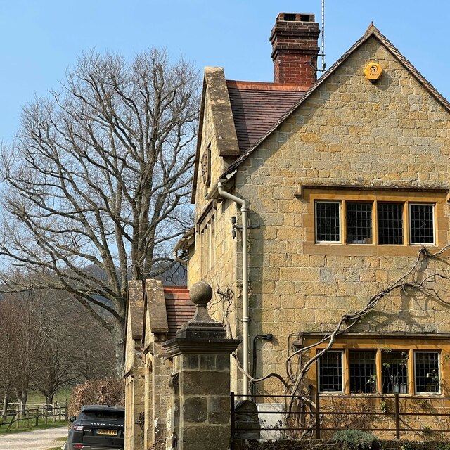
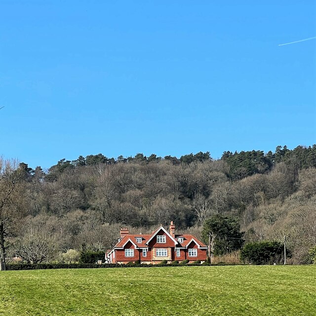
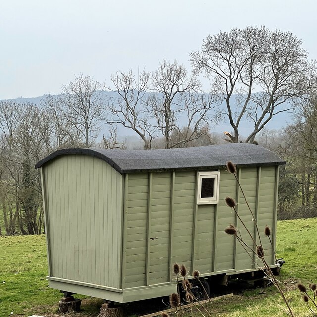
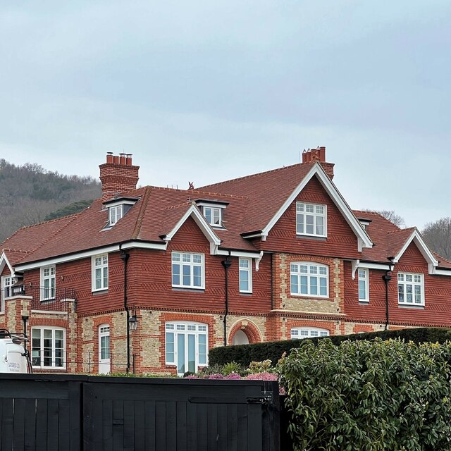
Abesters Copse Images
Images are sourced within 2km of 51.060948/-0.68265314 or Grid Reference SU9229. Thanks to Geograph Open Source API. All images are credited.


Abesters Copse is located at Grid Ref: SU9229 (Lat: 51.060948, Lng: -0.68265314)
Administrative County: West Sussex
District: Chichester
Police Authority: Sussex
What 3 Words
///ozone.beanbag.anyway. Near Fernhurst, West Sussex
Nearby Locations
Related Wikis

Blackdown, West Sussex
Blackdown, or Black Down, summit elevation 279.7 metres (918 ft) AMSL, is the highest point in both the historic county of Sussex and the South Downs National...

Iberia Flight 062
Iberia Flight 062 was a twin-engined Sud Aviation Caravelle registered EC-BDD operating a scheduled flight from Málaga Airport, Spain, to London Heathrow...

North Ambersham
North Ambersham was a tithing in the Chichester district of West Sussex, England. Until 1844 North Ambersham was a detached part of Hampshire and was...
Haste Hill
Haste Hill is a hill near Haslemere, Surrey in England which was probably the original settlement of the town of Haslemere. It was used as the site of...

Northchapel
Northchapel is a village and civil parish in Chichester District in West Sussex, England. It stands on the A283 road just south of the Surrey border, around...

Lurgashall
Lurgashall is a village and civil parish in the Chichester district of West Sussex, England, 6.5 km (4 ml) north west of Petworth, just inside the South...

Fernhurst
Fernhurst is a village and civil parish in the Chichester District of West Sussex, England, on the A286 Milford, Surrey, to Chichester road, 3 miles (4...

Perry Copse Outcrop
Perry Copse Outcrop is a 0.2-hectare (0.49-acre) geological Site of Special Scientific Interest in Fernhurst in West Sussex. It is a Geological Conservation...
Nearby Amenities
Located within 500m of 51.060948,-0.68265314Have you been to Abesters Copse?
Leave your review of Abesters Copse below (or comments, questions and feedback).