Ramsfold Wood

Wood, Forest in Sussex Chichester

England

Ramsfold Wood

Old Milestone by UC road, Blackdown Hill The Milestone is located by the road.  Parish of Lurgashall (Chichester District). Metal plate attached to stone post, erected in the 19th Century. An earlier photograph can be found here: <a title="https://www.geograph.org.uk/photo/3912371" href="https://www.geograph.org.uk/photo/3912371">Link</a> 

Inscription reads:-   
TO / HASLEMERE / 3¼ / MILES : : TO / PETWORTH / 7 / MILES 

Milestone Society National ID: SX_PWHM07
Old Milestone by UC road, Blackdown Hill Credit: Milestone Society

Ramsfold Wood is a picturesque woodland located in West Sussex, England. Covering an area of approximately 100 acres, this ancient woodland is nestled in the heart of the South Downs National Park, offering visitors a tranquil and immersive experience in nature.

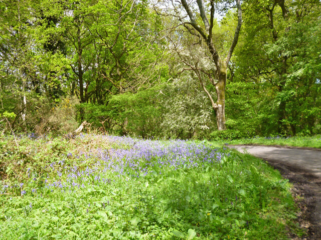
The woodland is predominantly composed of oak and beech trees, creating a dense canopy that provides shade and shelter for the diverse range of flora and fauna that call Ramsfold Wood their home. The forest floor is adorned with a carpet of bluebells in the spring, transforming the woodland into a breathtaking sea of vibrant colors.

As visitors venture through Ramsfold Wood, they will discover a network of well-maintained footpaths and trails, allowing for leisurely walks or more adventurous hikes. The abundance of wildlife within the wood is a delight for nature enthusiasts, with sightings of deer, badgers, foxes, and a variety of bird species being common.

The management of Ramsfold Wood is primarily focused on preserving its ecological integrity and allowing the natural processes to shape the woodland. Deadwood is left in place, providing essential habitats for numerous insects and fungi. The wood is also managed sustainably, with selective tree felling carried out to encourage the growth of new trees and maintain a healthy and diverse ecosystem.

Ramsfold Wood offers a peaceful retreat for those seeking solace in nature. Whether it be for a leisurely stroll, birdwatching, or simply to immerse oneself in the beauty of this ancient woodland, Ramsfold Wood is a true gem within the Sussex countryside.

If you have any feedback on the listing, please let us know in the comments section below.

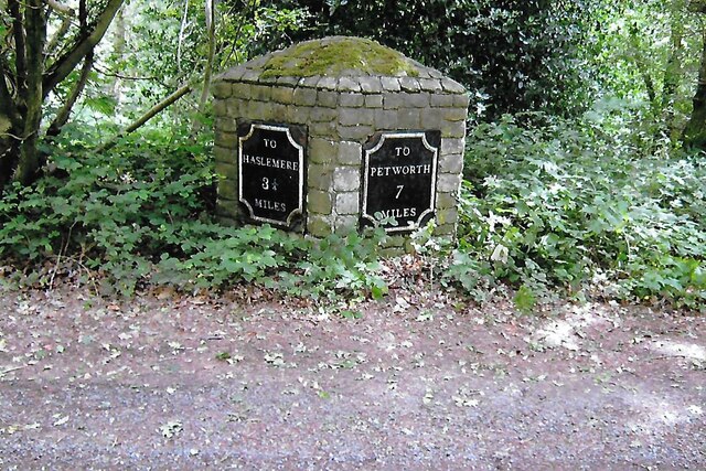
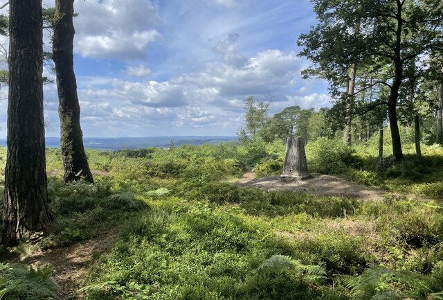
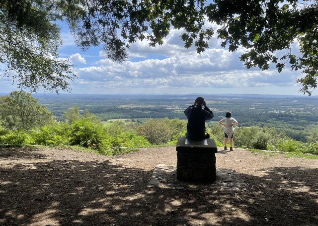
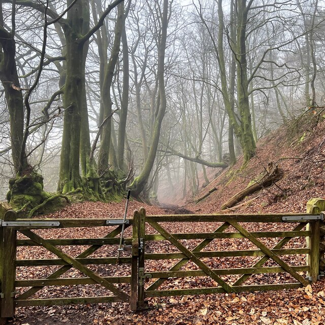
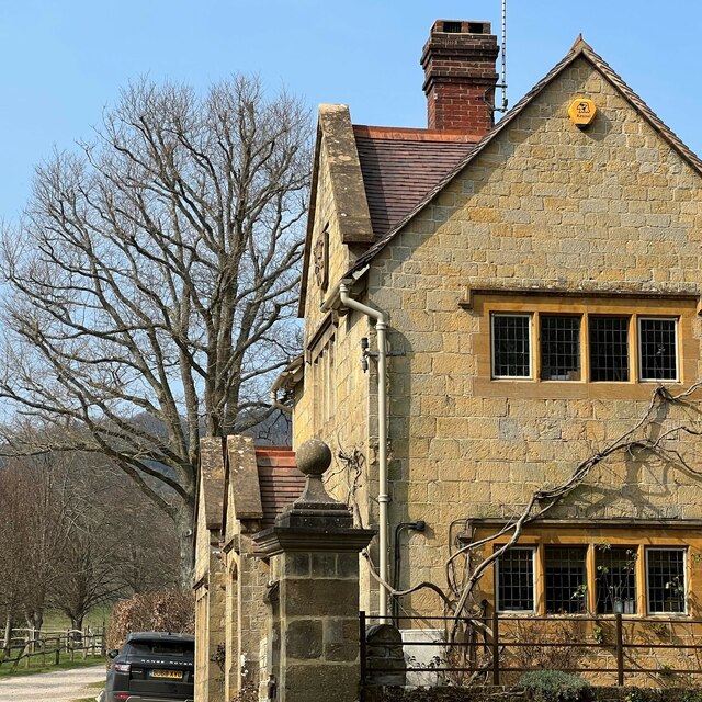
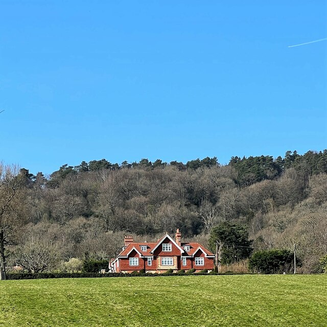
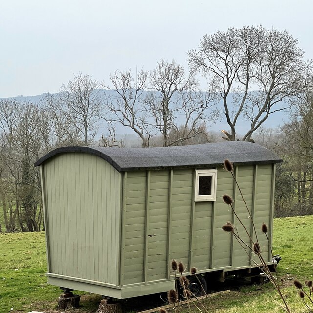
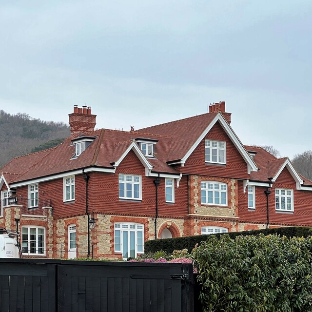
Ramsfold Wood Images

Images are sourced within 2km of 51.055423/-0.67989914 or Grid Reference SU9229. Thanks to Geograph Open Source API. All images are credited.

Old Milestone by UC road, Blackdown Hill The Milestone is located by the road.  Parish of Lurgashall (Chichester District). Metal plate attached to stone post, erected in the 19th Century. An earlier photograph can be found here: <a title="https://www.geograph.org.uk/photo/3912371" href="https://www.geograph.org.uk/photo/3912371">Link</a> 

Inscription reads:-   
TO / HASLEMERE / 3¼ / MILES : : TO / PETWORTH / 7 / MILES 

Milestone Society National ID: SX_PWHM07
Old Milestone by UC road, Blackdown Hill
The Milestone is located by the road.  Parish of Lurgashall (Chichester District). Metal plate attached to stone post, erected in the 19th Century. An earlier photograph can be found here: Link  Inscription reads:- TO / HASLEMERE / 3¼ / MILES : : TO / PETWORTH / 7 / MILES Milestone Society National ID: SX_PWHM07
Path junction One of the many path options on Blackdown.
Path junction
One of the many path options on Blackdown.
Pond near the Pen-y-Bos Track The curious Welsh-sounding name "Pen-y-Bos" apparently comes from the Brythonic language spoken by the ancient Britons, which was obviously related to Welsh. (cf Pen-y-ghent in Yorkshire)
Pond near the Pen-y-Bos Track
The curious Welsh-sounding name "Pen-y-Bos" apparently comes from the Brythonic language spoken by the ancient Britons, which was obviously related to Welsh. (cf Pen-y-ghent in Yorkshire)
View SW from the Pen-y-Bos Track Something was burning down in the valley - hence the smoke. The curious Welsh-sounding name "Pen-y-Bos" apparently comes from the Brythonic language spoken by the ancient Britons, which was obviously related to Welsh. (cf Pen-y-ghent in Yorkshire)
View SW from the Pen-y-Bos Track
Something was burning down in the valley - hence the smoke. The curious Welsh-sounding name "Pen-y-Bos" apparently comes from the Brythonic language spoken by the ancient Britons, which was obviously related to Welsh. (cf Pen-y-ghent in Yorkshire)
Black Down Trig Point A return visit to the trig point which marks the highest point in Sussex. For more details see <a href="https://www.geograph.org.uk/photo/6117646">SU9129 : Highest point in Sussex</a>
Black Down Trig Point
A return visit to the trig point which marks the highest point in Sussex. For more details see SU9129 : Highest point in Sussex
Temple of the Winds The viewpoint on Black Down provides stunning views across the Sussex Low Weald.
Temple of the Winds
The viewpoint on Black Down provides stunning views across the Sussex Low Weald.
Reeth near Black Down The property known as Reeth viewed from the passing footpath.
Reeth near Black Down
The property known as Reeth viewed from the passing footpath.
Reeth Copse Heading towards Fernhurst through Reeth Copse.
Reeth Copse
Heading towards Fernhurst through Reeth Copse.
Bridleway on the east side of Black Down
View SSW from the Serpent Trail
Wooded slope on the east side of Black Down
Outbuilding near Park Farm "Woodcraft Folk" - <span class="nowrap"><a title="https://woodcraft.org.uk/about-woodcraft-folk/our-aims-principles/" rel="nofollow ugc noopener" href="https://woodcraft.org.uk/about-woodcraft-folk/our-aims-principles/">Link</a><img style="margin-left:2px;" alt="External link" title="External link - shift click to open in new window" src="https://s1.geograph.org.uk/img/external.png" width="10" height="10"/></span> - have a campsite hereabouts. I think this building belongs to them.
Outbuilding near Park Farm
"Woodcraft Folk" - LinkExternal link - have a campsite hereabouts. I think this building belongs to them.
The Lodge - Blackdown Park Estate The track/drive to the left of the lodge leads up to Blackdown Farm and Blackdown House.
The Lodge - Blackdown Park Estate
The track/drive to the left of the lodge leads up to Blackdown Farm and Blackdown House.
House at Little Brockhurst It could be that the house is called "Little Brockhurst". I'm not sure. I think those are vines in the foreground. There's certainly a winery hereabouts.
House at Little Brockhurst
It could be that the house is called "Little Brockhurst". I'm not sure. I think those are vines in the foreground. There's certainly a winery hereabouts.
House at Blackdown Farm Black Down is the hill behind the house. This area is the Blackdown Estate. There are several other houses near this one, though they're not visible in the photograph.
House at Blackdown Farm
Black Down is the hill behind the house. This area is the Blackdown Estate. There are several other houses near this one, though they're not visible in the photograph.
Shepherd's hut at Blackdown Farm
Home Farm "Home Farm" is the name of this house. This area is labelled "Blackdown Farm" on the OS Map. This, I assume, is all part of the Blackdown Estate. The hill behind the house is Black Down. I've uploaded another, more distant, photo of this house here: <a title="https://www.geograph.org.uk/photo/7128852" href="https://www.geograph.org.uk/photo/7128852">Link</a>
Home Farm
"Home Farm" is the name of this house. This area is labelled "Blackdown Farm" on the OS Map. This, I assume, is all part of the Blackdown Estate. The hill behind the house is Black Down. I've uploaded another, more distant, photo of this house here: Link
Bluebells by lane bend, Hillgrove
Show me another place!

Ramsfold Wood is located at Grid Ref: SU9229 (Lat: 51.055423, Lng: -0.67989914)

Administrative County: West Sussex

District: Chichester

Police Authority: Sussex

What 3 Words

///desks.scope.greed. Near Fernhurst, West Sussex

Related Wikis

Blackdown, West Sussex

Blackdown, or Black Down, summit elevation 279.7 metres (918 ft) AMSL, is the highest point in both the historic county of Sussex and the South Downs National...

Iberia Flight 062

Iberia Flight 062 was a twin-engined Sud Aviation Caravelle registered EC-BDD operating a scheduled flight from Málaga Airport, Spain, to London Heathrow...

North Ambersham

North Ambersham was a tithing in the Chichester district of West Sussex, England. Until 1844 North Ambersham was a detached part of Hampshire and was...

Lurgashall

Lurgashall is a village and civil parish in the Chichester district of West Sussex, England, 6.5 km (4 ml) north west of Petworth, just inside the South...

Northchapel

Northchapel is a village and civil parish in Chichester District in West Sussex, England. It stands on the A283 road just south of the Surrey border, around...

Fernhurst

Fernhurst is a village and civil parish in the Chichester District of West Sussex, England, on the A286 Milford, Surrey, to Chichester road, 3 miles (4...

Haste Hill

Haste Hill is a hill near Haslemere, Surrey in England which was probably the original settlement of the town of Haslemere. It was used as the site of...

Perry Copse Outcrop

Perry Copse Outcrop is a 0.2-hectare (0.49-acre) geological Site of Special Scientific Interest in Fernhurst in West Sussex. It is a Geological Conservation...

Nearby Amenities

Located within 500m of 51.055423,-0.67989914
Parking
Lat/Long: 51.0536159/-0.6847789
Barrier: stile
Lat/Long: 51.0586572/-0.6768913
Historic: milestone
Inscription: To Haslemere 3 1/4 Miles To Petworth 7 Miles
Lat/Long: 51.0535692/-0.6851249
The data included in this document is from www.openstreetmap.org. The data is made available under ODbL.

Have you been to Ramsfold Wood?

Leave your review of Ramsfold Wood below (or comments, questions and feedback).