Black Down
Wood, Forest in Sussex Chichester
England
Black Down

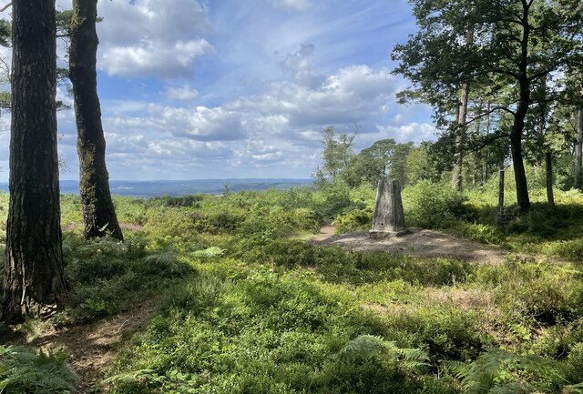
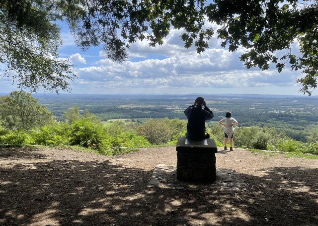
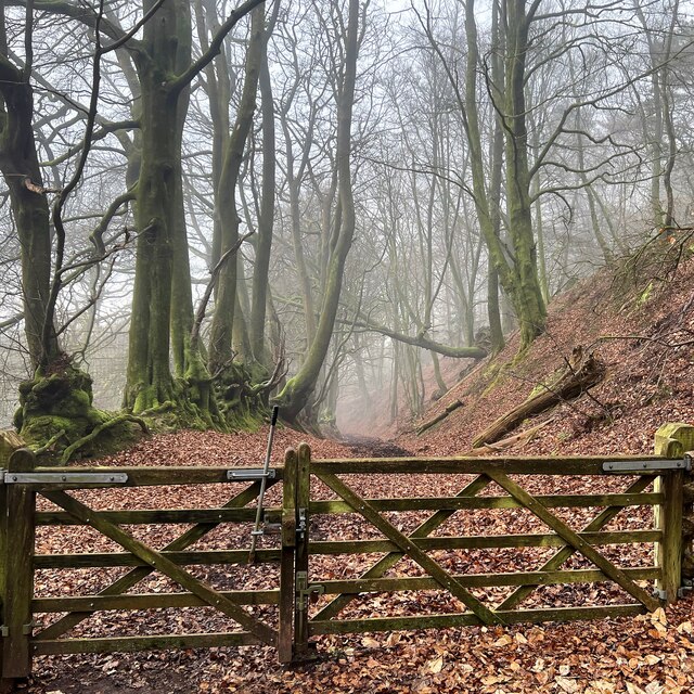
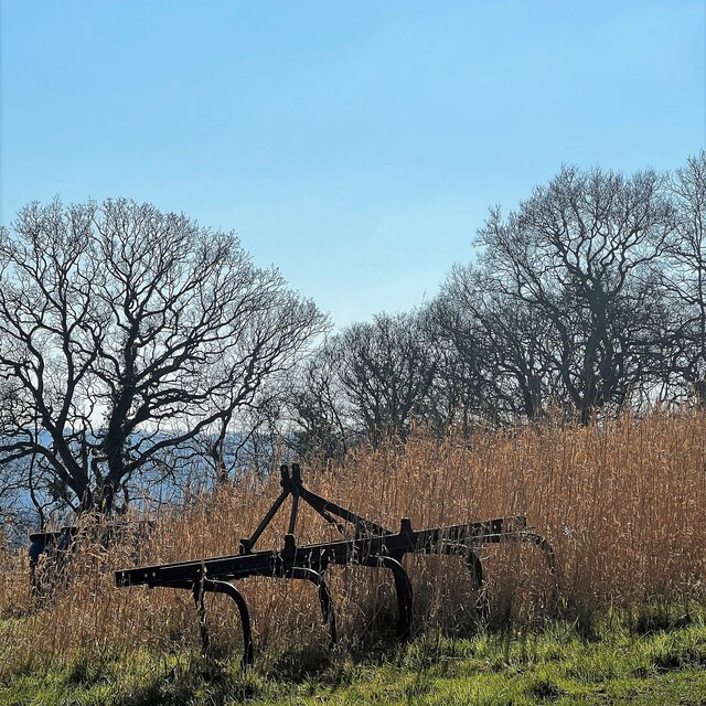
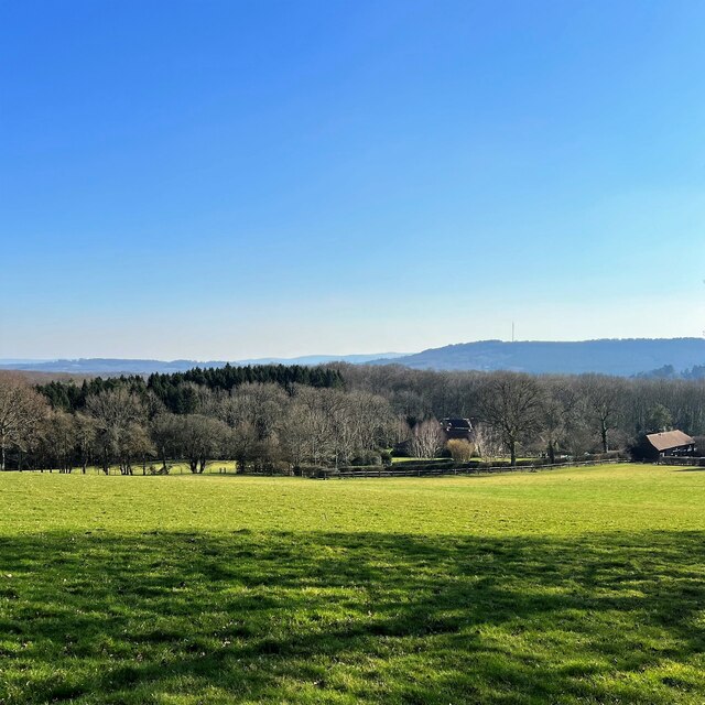
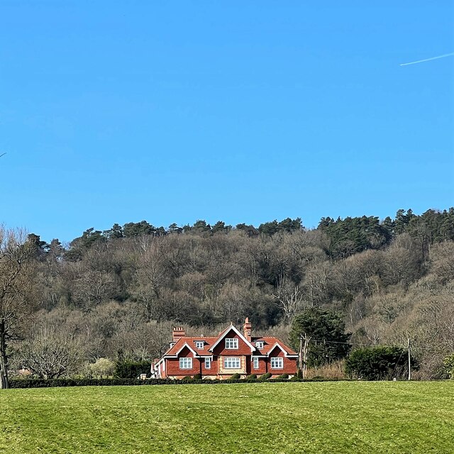
Black Down is the highest hill in the county of Sussex, England, reaching an altitude of 280 meters (919 feet). Located within the South Downs National Park, it is a prominent feature of the landscape and offers breathtaking views of the surrounding countryside. The hill is covered by dense woodland, predominantly consisting of beech trees, which have been carefully managed over the years to create a diverse and thriving habitat for wildlife.
The woodlands of Black Down are home to a wide variety of flora and fauna, with several rare and endangered species being found within its boundaries. The forest floor is adorned with bluebells during springtime, creating a vibrant carpet of color. In addition to the beech trees, other tree species such as oak, birch, and holly can also be found in the woodland.
The hill is a popular destination for hikers and nature enthusiasts, offering an extensive network of footpaths and trails that crisscross the area. These paths allow visitors to explore the woodlands, discover hidden glades, and enjoy the tranquility of the natural surroundings. The South Downs Way, a long-distance footpath that stretches for 160 kilometers (100 miles) from Winchester to Eastbourne, passes through Black Down, attracting walkers from all over the country.
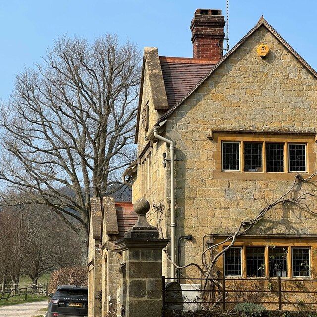
Black Down is not only a haven for nature lovers but also holds historical and cultural significance. It is home to several ancient earthworks and burial mounds, providing evidence of human activity in the area dating back thousands of years. Additionally, the hill has inspired numerous artists and writers, who have captured its beauty and mystique in their works.
Overall, Black Down in Sussex offers a captivating blend of natural beauty, biodiversity, and historical significance, making it a cherished destination for those seeking an escape into the enchanting woodlands of southern England.
If you have any feedback on the listing, please let us know in the comments section below.
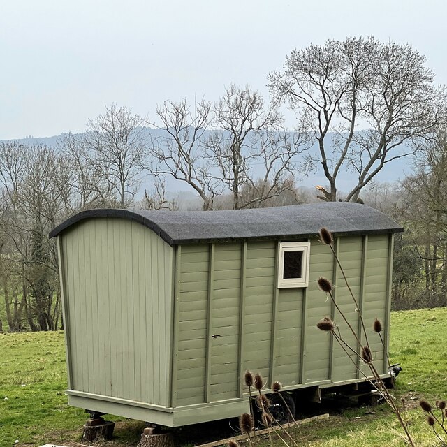
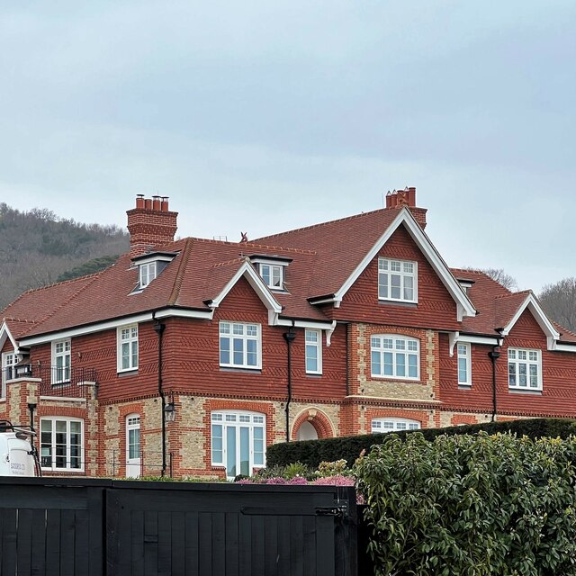
Black Down Images
Images are sourced within 2km of 51.061698/-0.68851132 or Grid Reference SU9229. Thanks to Geograph Open Source API. All images are credited.


Black Down is located at Grid Ref: SU9229 (Lat: 51.061698, Lng: -0.68851132)
Administrative County: West Sussex
District: Chichester
Police Authority: Sussex
What 3 Words
///cultivation.lotteries.singer. Near Fernhurst, West Sussex
Nearby Locations
Related Wikis

Blackdown, West Sussex
Blackdown, or Black Down, summit elevation 279.7 metres (918 ft) AMSL, is the highest point in both the historic county of Sussex and the South Downs National...

Iberia Flight 062
Iberia Flight 062 was a twin-engined Sud Aviation Caravelle registered EC-BDD operating a scheduled flight from Málaga Airport, Spain, to London Heathrow...

North Ambersham
North Ambersham was a tithing in the Chichester district of West Sussex, England. Until 1844 North Ambersham was a detached part of Hampshire and was...
Haste Hill
Haste Hill is a hill near Haslemere, Surrey in England which was probably the original settlement of the town of Haslemere. It was used as the site of...

Fernhurst
Fernhurst is a village and civil parish in the Chichester District of West Sussex, England, on the A286 Milford, Surrey, to Chichester road, 3 miles (4...

Perry Copse Outcrop
Perry Copse Outcrop is a 0.2-hectare (0.49-acre) geological Site of Special Scientific Interest in Fernhurst in West Sussex. It is a Geological Conservation...

Northchapel
Northchapel is a village and civil parish in Chichester District in West Sussex, England. It stands on the A283 road just south of the Surrey border, around...

Haslemere Town Hall
Haslemere Town Hall is a municipal building in the High Street, Haslemere, Surrey, England. The structure, which serves as the meeting place of Haslemere...
Nearby Amenities
Located within 500m of 51.061698,-0.68851132Have you been to Black Down?
Leave your review of Black Down below (or comments, questions and feedback).