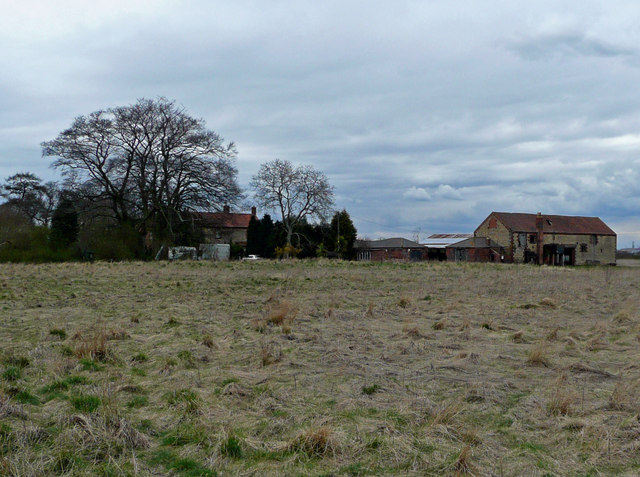
Emanuel Strip
Wood, Forest in Lincolnshire
England
Emanuel Strip
The requested URL returned error: 429 Too Many Requests
If you have any feedback on the listing, please let us know in the comments section below.
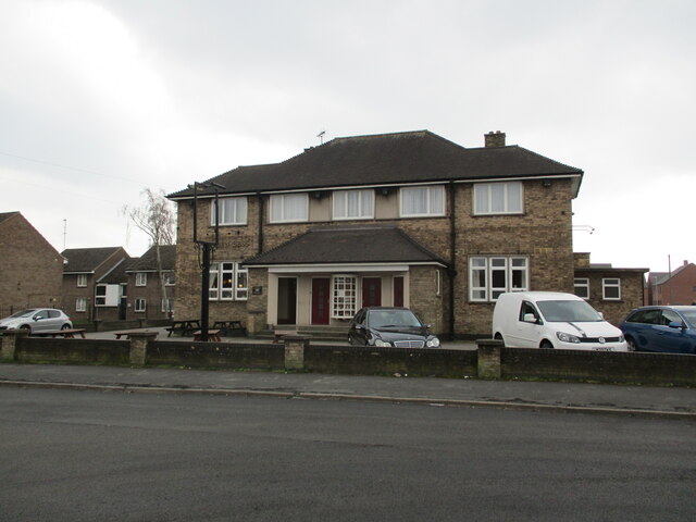
Emanuel Strip Images
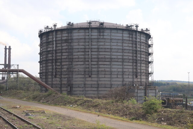
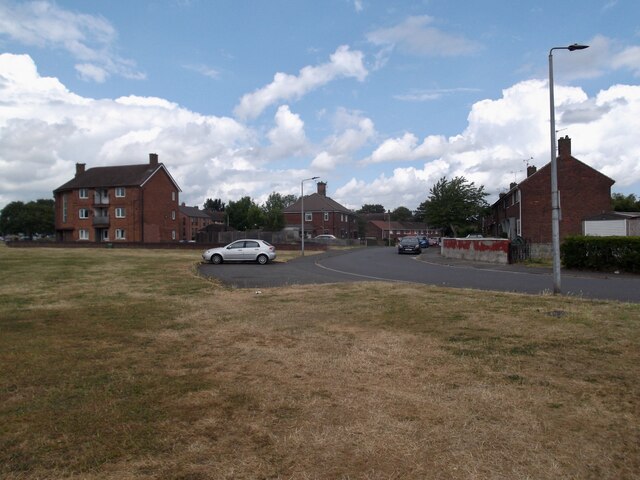
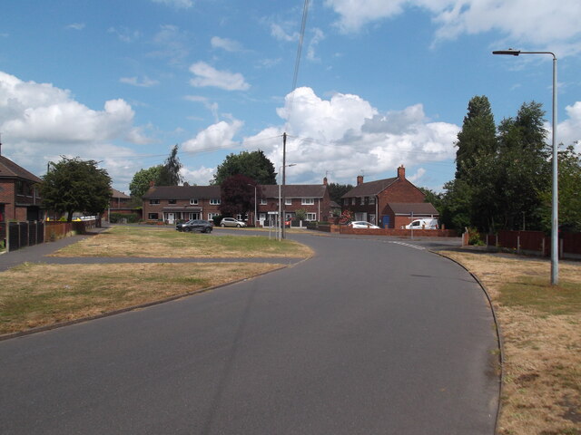
Images are sourced within 2km of 53.560888/-0.60629465 or Grid Reference SE9208. Thanks to Geograph Open Source API. All images are credited.


Emanuel Strip is located at Grid Ref: SE9208 (Lat: 53.560888, Lng: -0.60629465)
Unitary Authority: North Lincolnshire
Police Authority: Humberside
What 3 Words
///belt.sweat.walks. Near Bottesford, Lincolnshire
Nearby Locations
Related Wikis
Holme, North Lincolnshire
Holme is a linear settlement and former civil parish, now in the parish of Messingham, in the North Lincolnshire district, in the ceremonial county of...

Queen Bess, Scunthorpe
The Queen Bess is a grade-II-listed (historic) public house in Scunthorpe, Lincolnshire, England. It opened in 1959 and is one of the few remaining examples...

Frederick Gough School
Frederick Gough School is a community secondary school in Scunthorpe, England, for approximately 1,300 pupils aged from 11 to 16. == History == === Grammar... ===
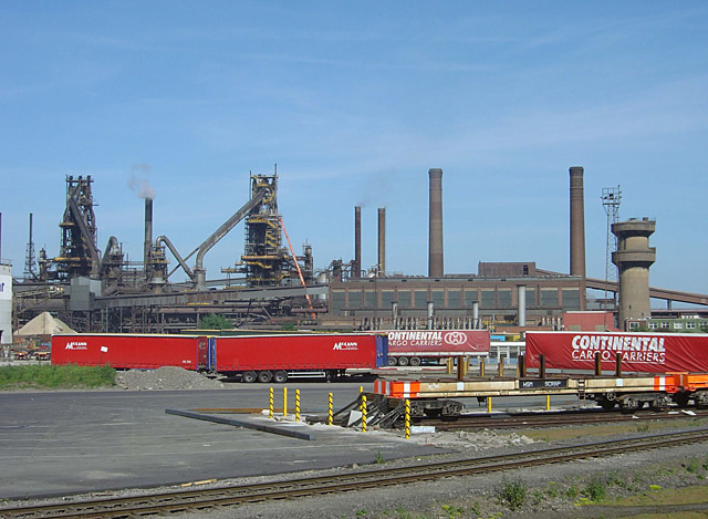
Scunthorpe Steelworks
The Iron and Steel Industry in Scunthorpe was established in the mid 19th century, following the discovery and exploitation of middle Lias ironstone east...
Nearby Amenities
Located within 500m of 53.560888,-0.60629465Have you been to Emanuel Strip?
Leave your review of Emanuel Strip below (or comments, questions and feedback).