The Plantation
Wood, Forest in Sussex Chichester
England
The Plantation
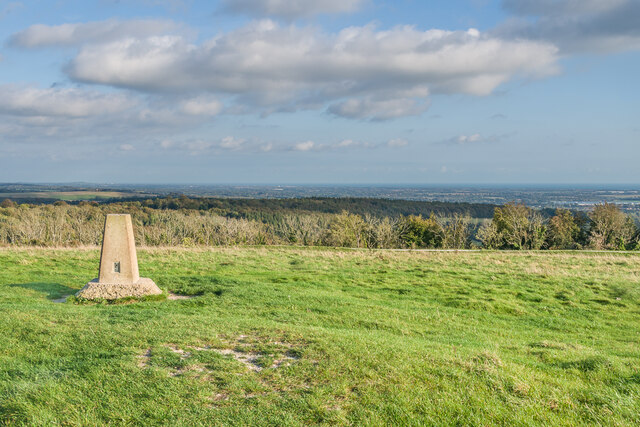
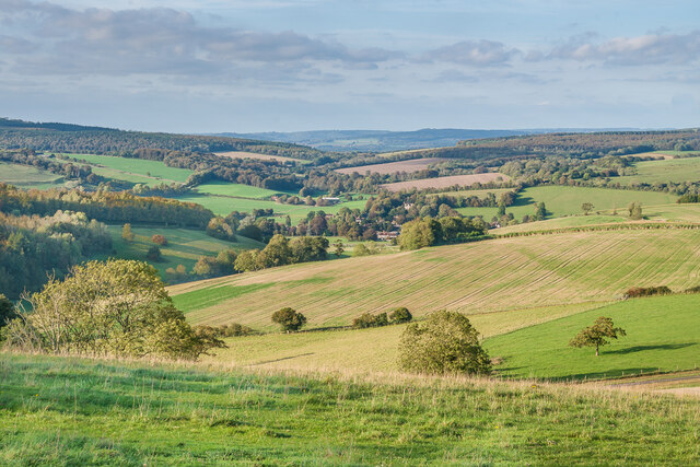
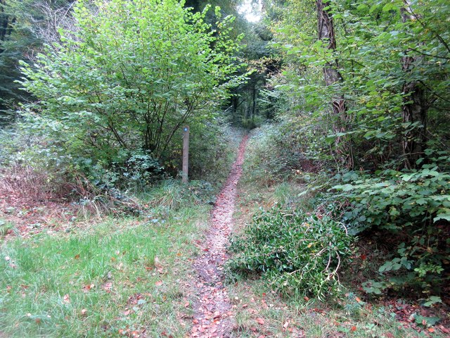
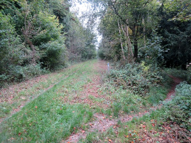
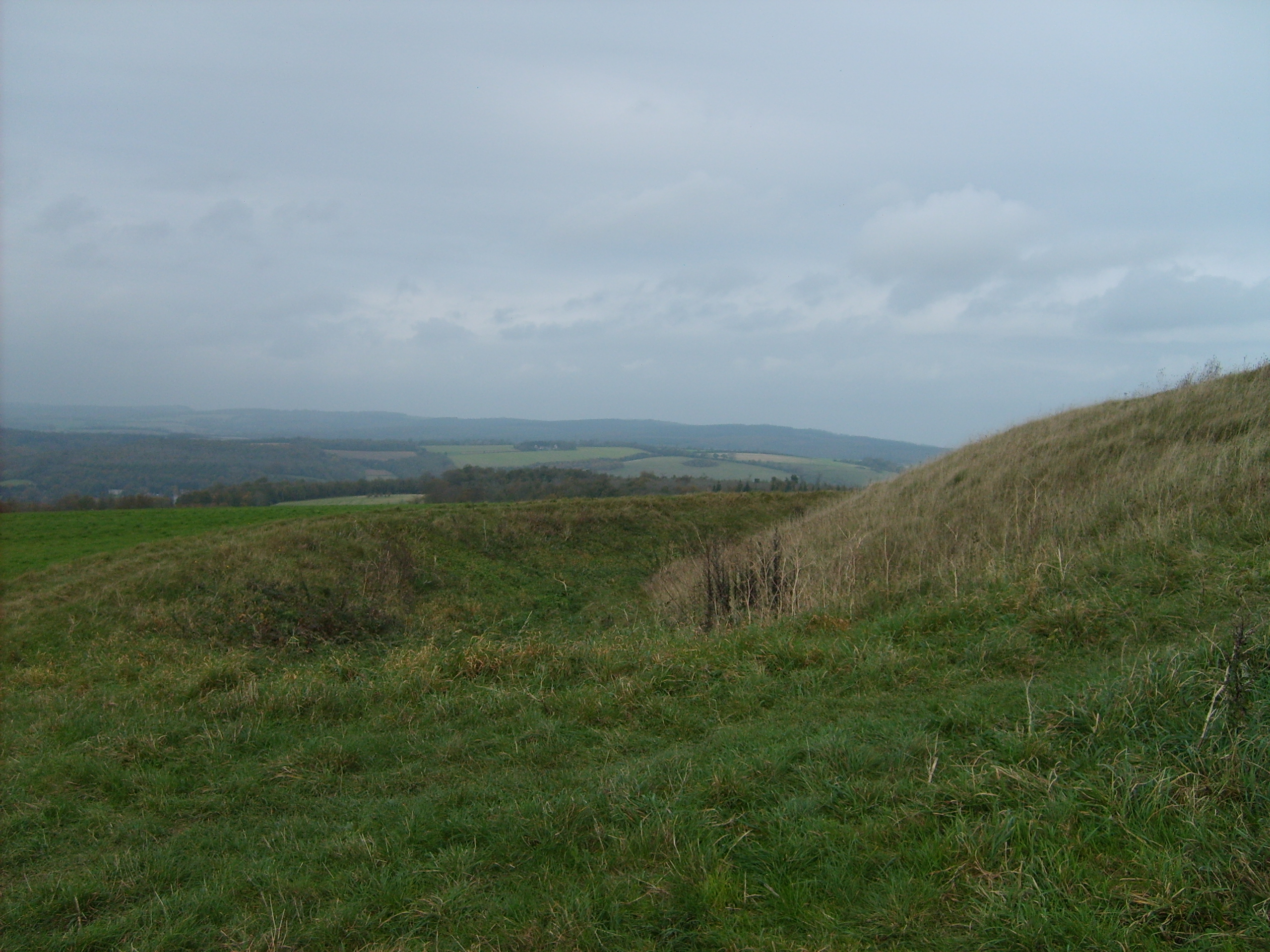
The Plantation in Sussex, also known as Wood or Forest, is a renowned natural area located in the southern region of England. Spanning over a vast expanse of land, this plantation offers visitors a chance to immerse themselves in the beauty of nature and enjoy the tranquility it provides.
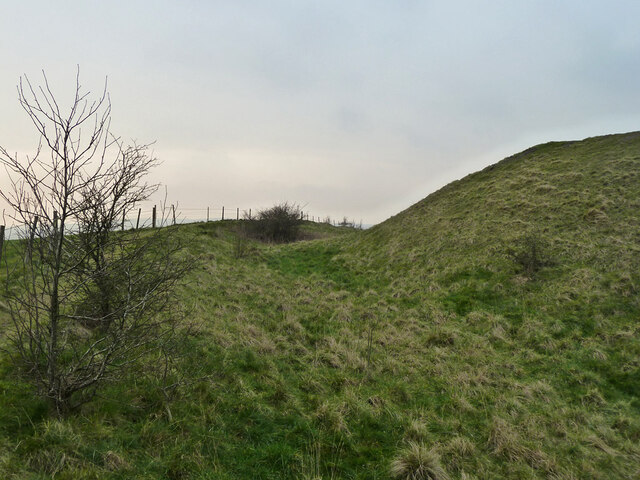
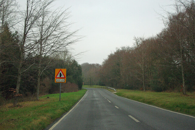
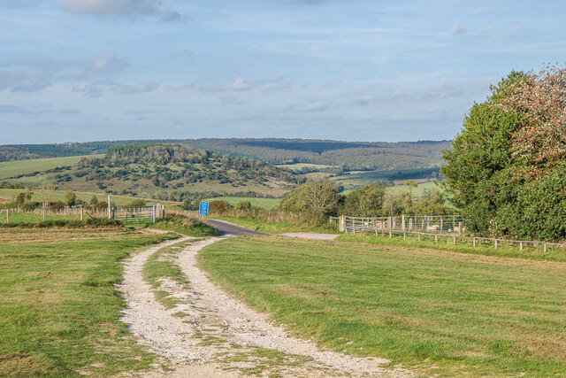
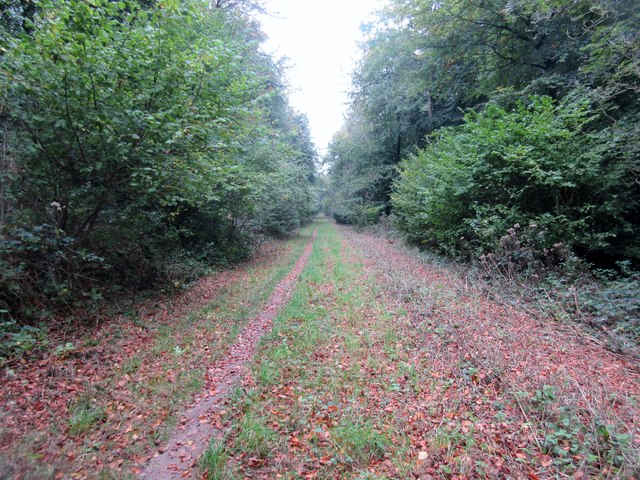
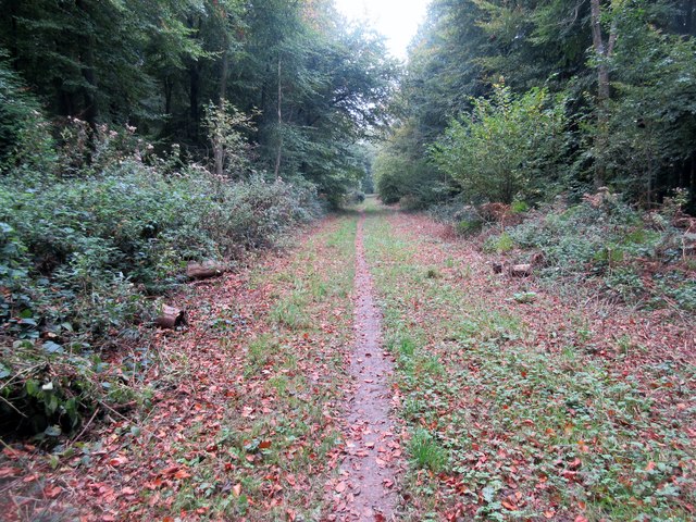
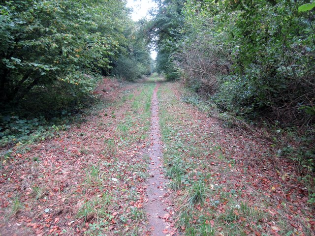
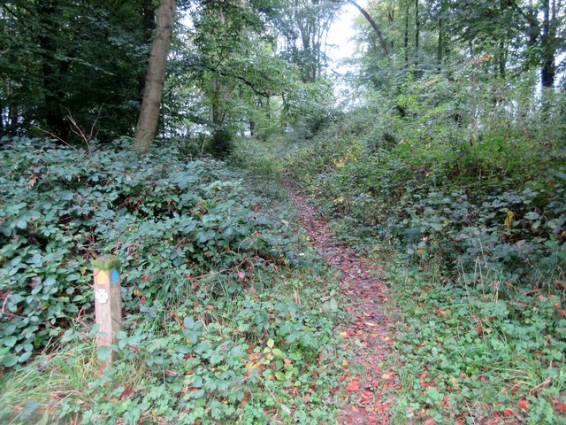
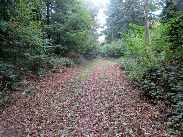
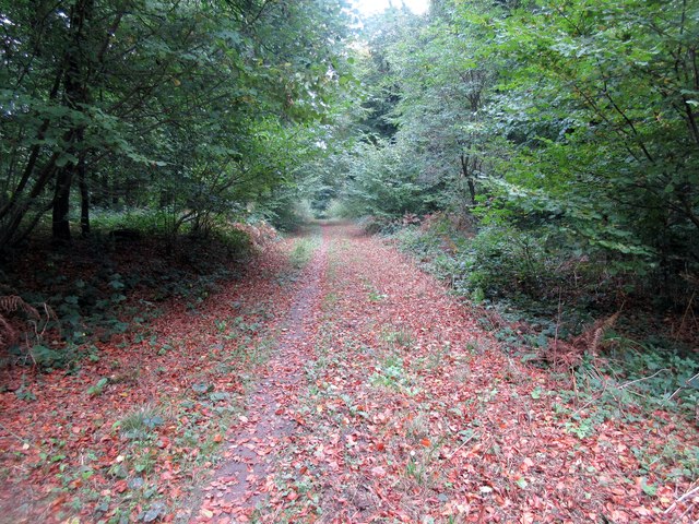
The Plantation is characterized by its lush greenery and diverse range of plant and animal species. The area is predominantly covered by dense woodlands, making it an ideal destination for nature enthusiasts and hikers. The towering trees create a serene atmosphere, providing a sense of seclusion from the bustling outside world.
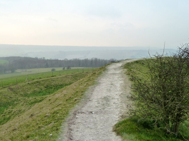
Within the Plantation, there are numerous well-maintained trails that wind through the woods, allowing visitors to explore the area at their leisure. These trails are suitable for both casual walkers and experienced hikers, offering a variety of difficulty levels to cater to all abilities.
Wildlife thrives within the Plantation, with a multitude of bird species, mammals, and insects calling this place home. Visitors may have the opportunity to spot rare birds, such as woodpeckers or owls, or catch glimpses of deer and rabbits as they roam freely in their natural habitat.
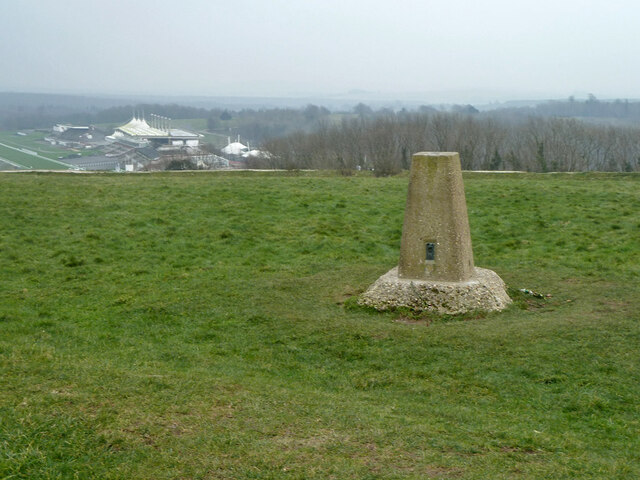
The Plantation also boasts a rich history, with remnants of ancient settlements and archaeological sites scattered throughout the area. These historical artifacts provide a glimpse into the past, adding an extra layer of intrigue to the overall experience.
In summary, The Plantation in Sussex is a captivating natural haven that offers a serene and immersive experience for all nature lovers. With its stunning landscapes, diverse wildlife, and historical significance, it is a must-visit destination for anyone seeking to reconnect with the wonders of the natural world.
If you have any feedback on the listing, please let us know in the comments section below.
The Plantation Images
Images are sourced within 2km of 50.890261/-0.73016993 or Grid Reference SU8910. Thanks to Geograph Open Source API. All images are credited.
The Plantation is located at Grid Ref: SU8910 (Lat: 50.890261, Lng: -0.73016993)
Administrative County: West Sussex
District: Chichester
Police Authority: Sussex
What 3 Words
///padding.unimpeded.score. Near Boxgrove, West Sussex
Nearby Locations
Related Wikis

Goodwood Country Park
Goodwood Country Park is a Country Park in West Sussex in southern England. It is within the estate of Goodwood House near Chichester, and next to Goodwood...

Chichester North (electoral division)
Chichester North is an electoral division of West Sussex in the United Kingdom, and returns one member to sit on West Sussex County Council. == Extent... ==

East Dean Park Wood
East Dean Park Wood is a 17.8-hectare (44-acre) biological Site of Special Scientific Interest south of East Dean in West Sussex.Dry sheltered woods on...
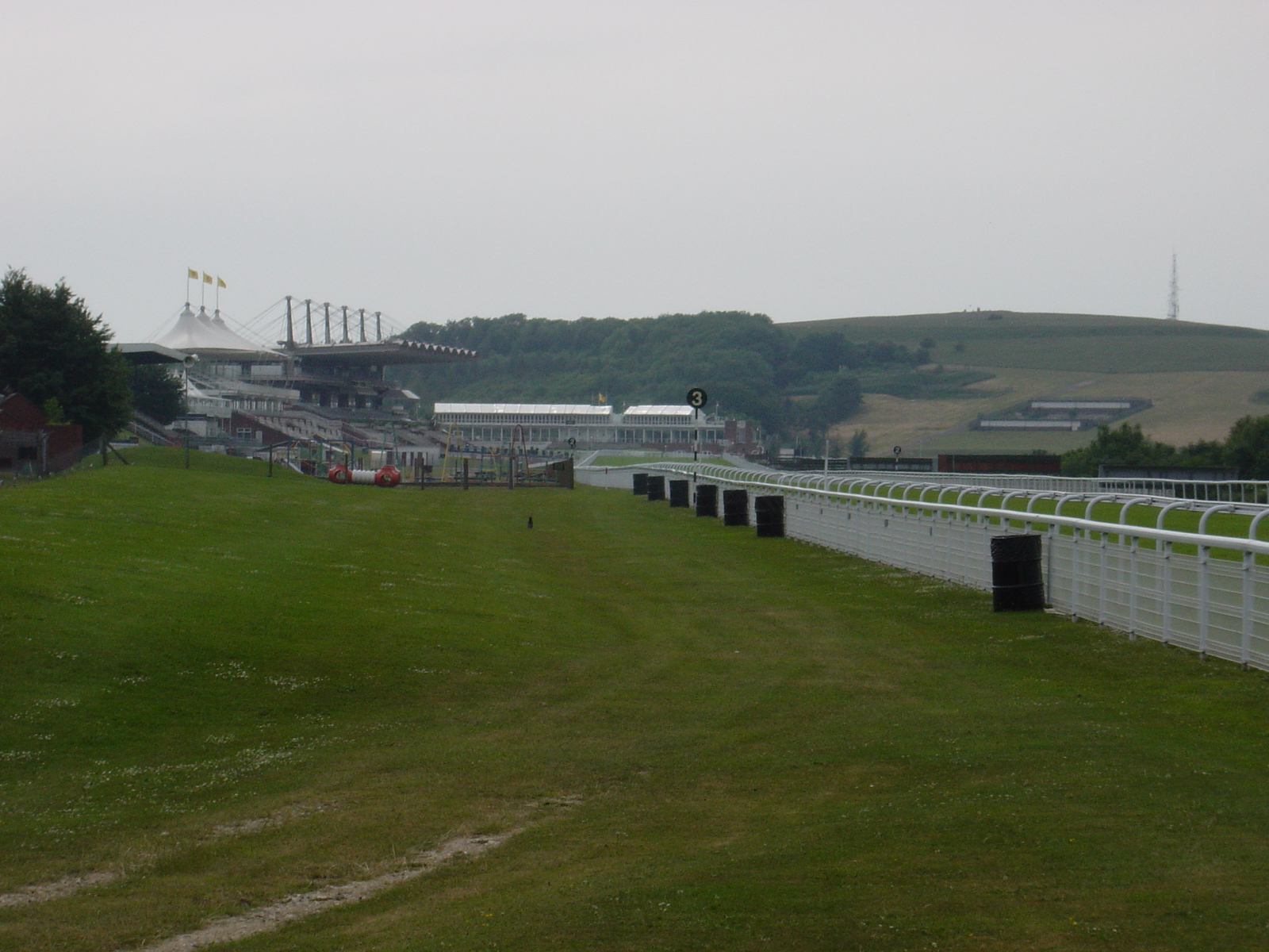
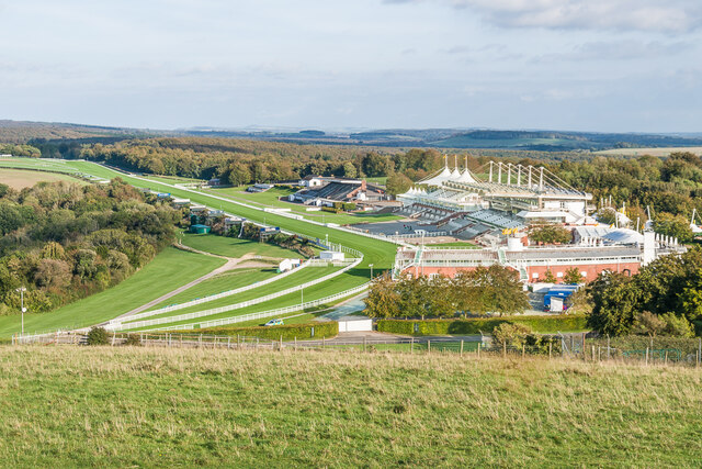
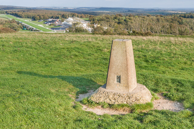
Goodwood Racecourse
Goodwood Racecourse is a horse-racing track five miles north of Chichester, West Sussex, in England controlled by the family of the Duke of Richmond, whose...
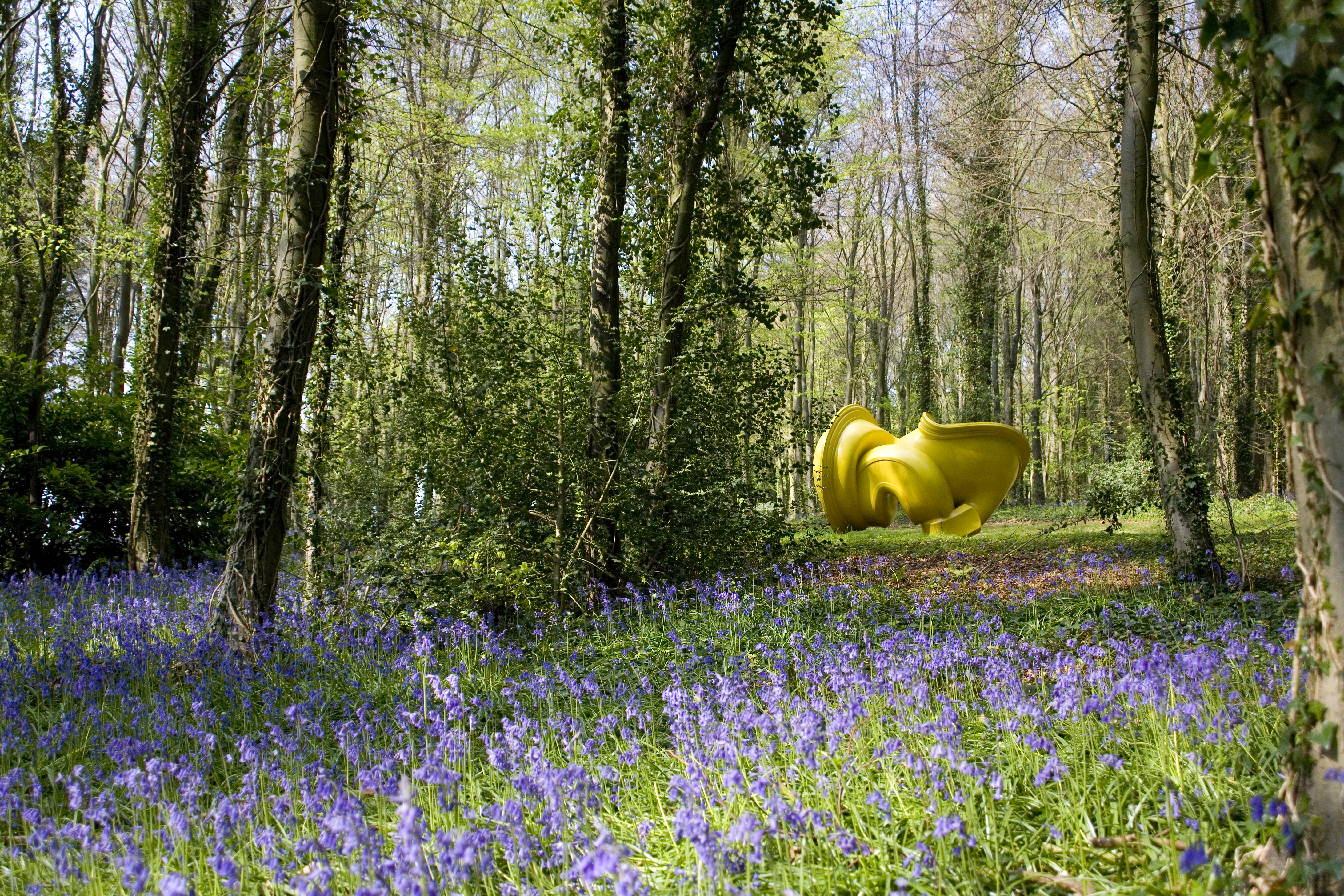
Cass Sculpture Foundation
The Cass Sculpture Foundation was a charitable commissioning body based in Goodwood, Sussex, England. The Foundation's 26-acre grounds were home to an...
The Trundle
The Trundle is an Iron Age hillfort on St Roche's Hill about 4 miles (6 km) north of Chichester, West Sussex, England, built on the site of a causewayed...

Charlton, West Sussex
Charlton is a hamlet in the Chichester district of West Sussex, England. It lies on the Singleton to East Dean road 5.3 miles (8.6 km) north of Chichester...

The Fox Goes Free
The Fox Goes Free is a grade II listed pub in Charlton, West Sussex, England. It is a 17th-century flint building.On 9 November 1915 the inn was the venue...
Nearby Amenities
Located within 500m of 50.890261,-0.73016993Have you been to The Plantation?
Leave your review of The Plantation below (or comments, questions and feedback).