Batt's Moor
Wood, Forest in Surrey Waverley
England
Batt's Moor
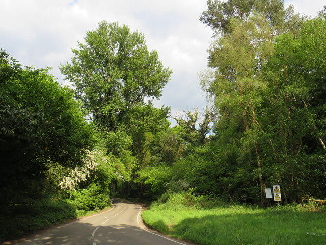
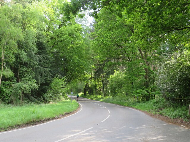
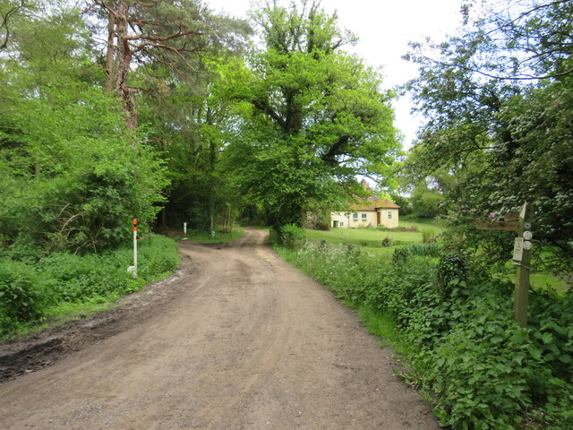
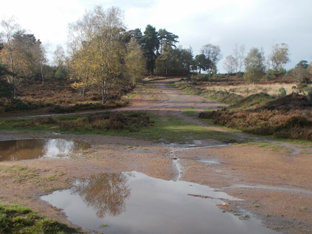
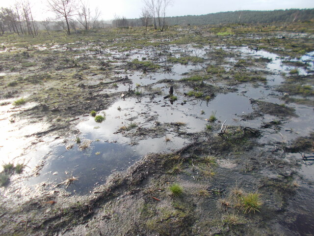
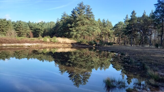
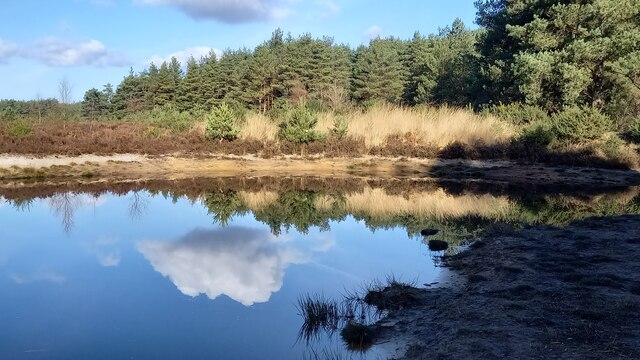
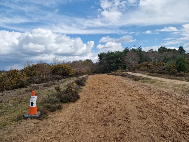
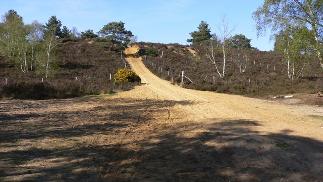
Batt's Moor is a picturesque wooded area located in the county of Surrey, England. Spanning over an expansive area, it is known for its enchanting beauty and abundant flora and fauna. The moor is situated within the larger Surrey Hills Area of Outstanding Natural Beauty, further enhancing its allure.
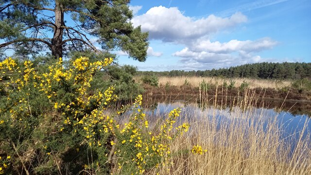
The woodland is predominantly made up of a mix of broadleaf trees, including oak, beech, and silver birch. These trees create a dense canopy that provides shade and creates a serene atmosphere. The forest floor is carpeted with a variety of wildflowers, adding splashes of vibrant colors throughout the seasons.
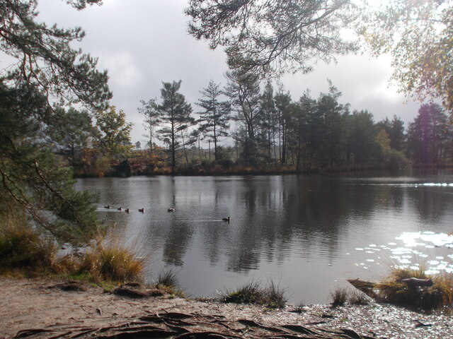
Batt's Moor is a haven for wildlife enthusiasts, as it is home to a diverse range of species. The woodland provides an ideal habitat for various birds, such as woodpeckers, thrushes, and owls. Small mammals like squirrels, foxes, and badgers can also be spotted, along with countless insects and butterflies.
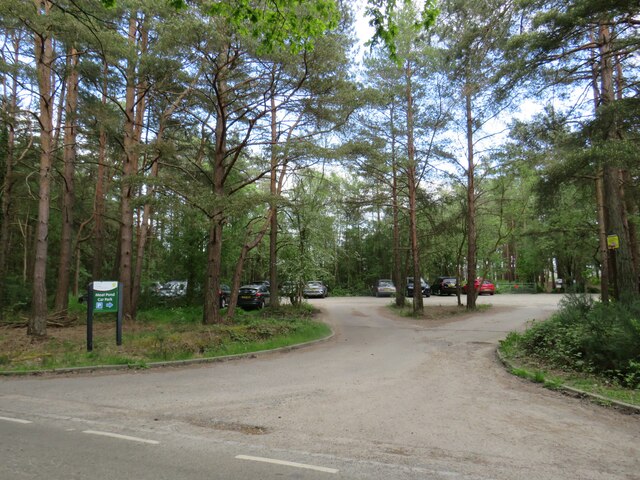
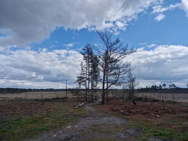
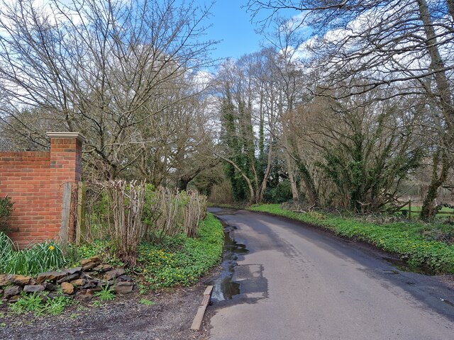
Visitors to Batt's Moor can enjoy a tranquil and idyllic setting, perfect for leisurely walks and picnics. There are several well-marked trails that wind through the woodland, allowing visitors to explore its natural wonders at their own pace. The moor also offers opportunities for photography and nature observation, with many scenic spots providing breathtaking views.
In addition to its natural beauty, Batt's Moor holds historical significance. It is believed to have been used as a hunting ground during medieval times. Today, the moor is managed by local authorities to preserve its natural habitat and protect its wildlife.
Overall, Batt's Moor is a captivating woodland retreat that offers visitors a chance to immerse themselves in nature and experience the tranquility and beauty of Surrey's countryside.
If you have any feedback on the listing, please let us know in the comments section below.
Batt's Moor Images
Images are sourced within 2km of 51.172269/-0.72255505 or Grid Reference SU8942. Thanks to Geograph Open Source API. All images are credited.


Batt's Moor is located at Grid Ref: SU8942 (Lat: 51.172269, Lng: -0.72255505)
Administrative County: Surrey
District: Waverley
Police Authority: Surrey
What 3 Words
///motivator.arriving.bronze. Near Elstead, Surrey
Nearby Locations
Related Wikis
Hankley Common
Hankley Common is a 560-hectare (1,400-acre) nature reserve and filming location in the south-west of Elstead in Surrey. It is owned by the Ministry of...

Hankley Farm
Hankley Farm is a 2.4-hectare (5.9-acre) biological Site of Special Scientific Interest (SSSI) west of Elstead in Surrey.This sandy arable field has been...

Thursley, Hankley and Frensham Commons
Thursley, Hankley and Frensham Commons is a 1,878.5-hectare (4,642-acre) biological Site of Special Scientific Interest west of Godalming in Surrey. Thursley...

Thursley Common
Thursley Common is a national nature reserve in Surrey, England, and has also been designated as a Ramsar wetland. It is also part of a Site of Special...

Charleshill SSSI
Charleshill SSSI is a 10.1-hectare (25-acre) biological Site of Special Scientific Interest west of Elstead in Surrey. It is part of Thundry Meadows nature...

Thundry Meadows
Thundry Meadows is a 16-hectare (40-acre) nature reserve in Elstead in Surrey. It is managed by the Surrey Wildlife Trust. Part of it is Charleshill Site...
River Wey
The River Wey is a main tributary of the River Thames in south east England. Its two branches, one of which rises near Alton in Hampshire and the other...

Tilford
Tilford is a village and civil parish centred at the point where the two branches of the River Wey merge in Surrey, England, 3 miles (4.8 km) south-east...
Nearby Amenities
Located within 500m of 51.172269,-0.72255505Have you been to Batt's Moor?
Leave your review of Batt's Moor below (or comments, questions and feedback).