Westbrook Moor
Downs, Moorland in Surrey Waverley
England
Westbrook Moor

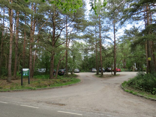
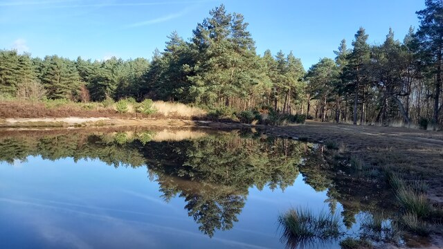
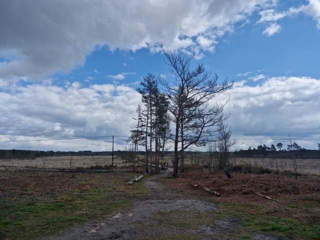
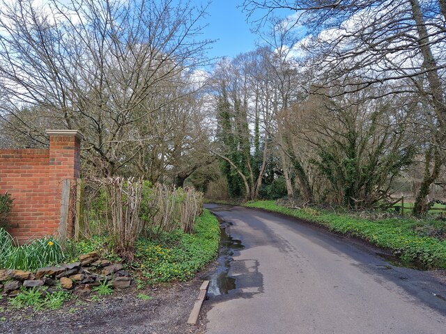
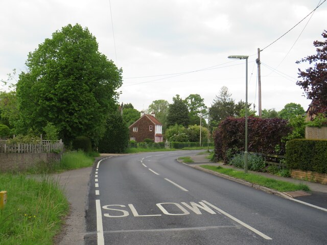
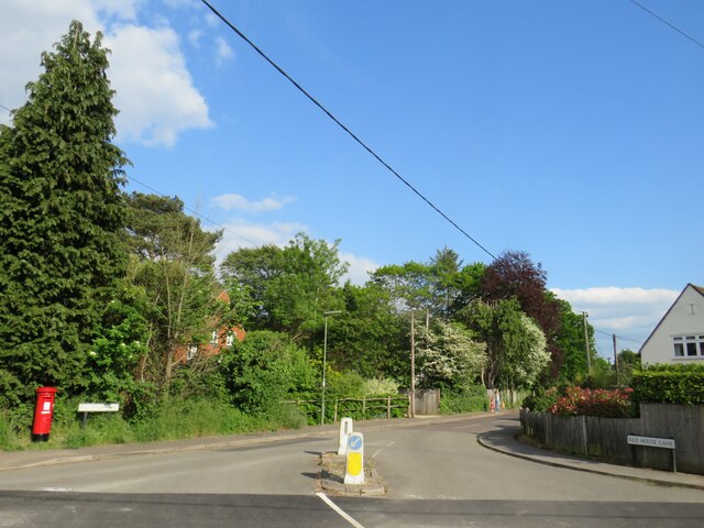
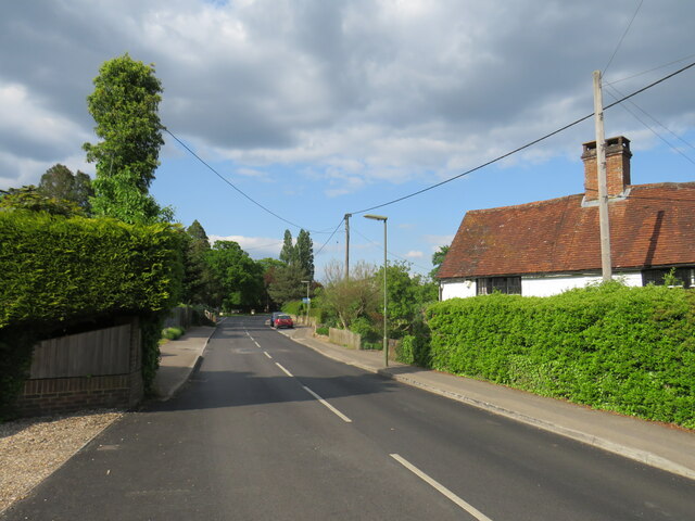
Westbrook Moor is a picturesque area located in Surrey, England. Situated on the southern slopes of the North Downs, it offers stunning views of the surrounding countryside and is a popular destination for nature lovers and hikers alike.
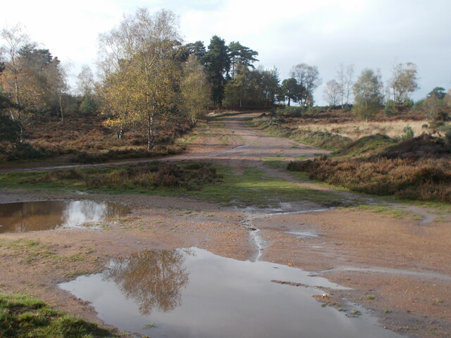
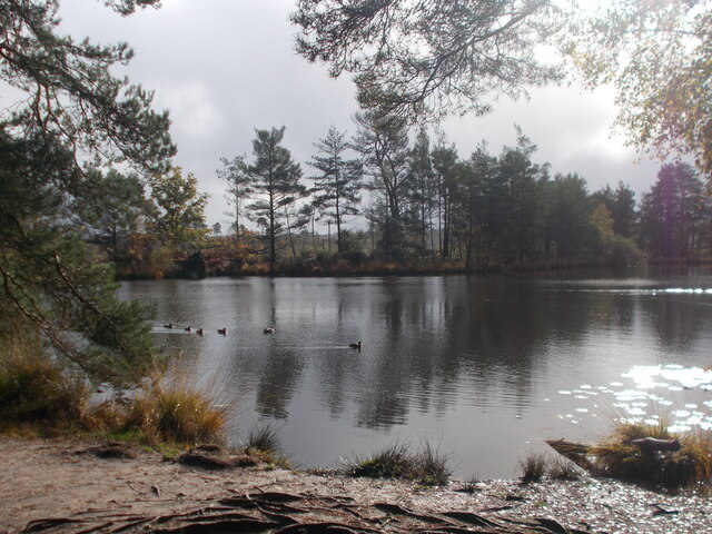
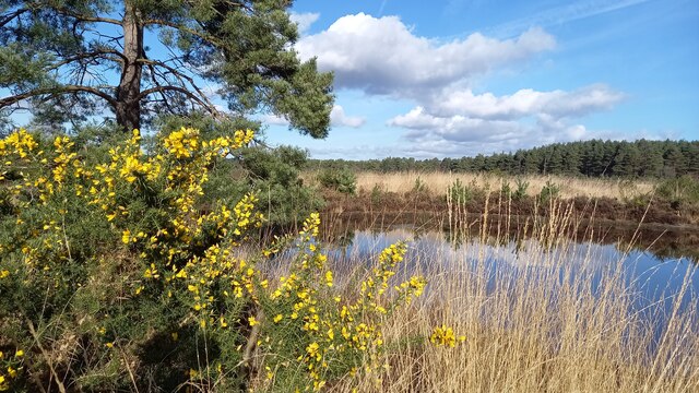
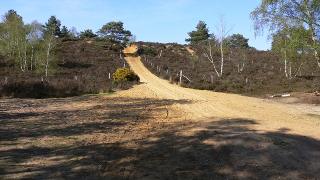
Covering an area of approximately 150 acres, Westbrook Moor is primarily characterized by its unique combination of moorland and woodland. The moorland is home to a variety of plant species, including heather, gorse, and bilberry, creating a vibrant and colorful landscape. This type of habitat also provides a sanctuary for numerous bird species, such as skylarks, meadow pipits, and stonechats, making it a haven for birdwatchers.
The area's woodland, consisting mainly of oak and beech trees, adds to the beauty of Westbrook Moor. The trees provide shade and shelter to a diverse range of wildlife, including deer, foxes, and badgers. Exploring the woodland trails is a popular activity for visitors, who can also stumble upon secluded clearings and small streams that add to the area's tranquility.
Westbrook Moor is also rich in history, with evidence of human habitation dating back to the Bronze Age. Archaeological finds, including flint tools and pottery fragments, have been discovered in the area. The moorland itself was historically used for grazing livestock, and remnants of old field boundaries can still be seen today.
Overall, Westbrook Moor offers a unique and enchanting experience, combining the rugged beauty of moorland with the serenity of woodland. It is a place where visitors can immerse themselves in nature, enjoy breathtaking views, and discover the rich history of the area.
If you have any feedback on the listing, please let us know in the comments section below.
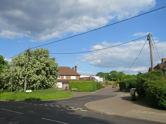
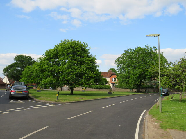
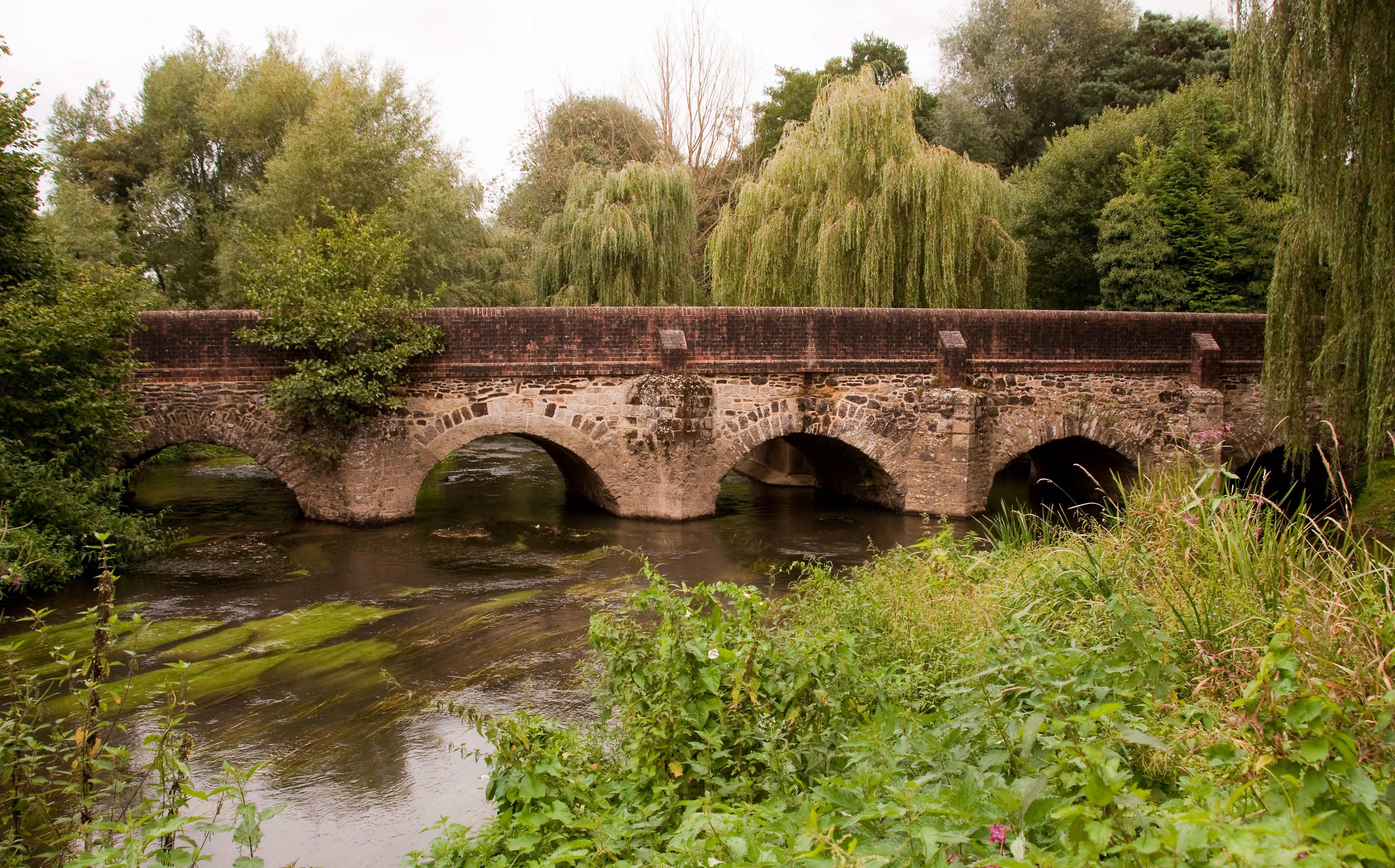
Westbrook Moor Images
Images are sourced within 2km of 51.176518/-0.72542758 or Grid Reference SU8942. Thanks to Geograph Open Source API. All images are credited.


Westbrook Moor is located at Grid Ref: SU8942 (Lat: 51.176518, Lng: -0.72542758)
Administrative County: Surrey
District: Waverley
Police Authority: Surrey
What 3 Words
///warned.cashiers.mime. Near Elstead, Surrey
Nearby Locations
Related Wikis

Hankley Farm
Hankley Farm is a 2.4-hectare (5.9-acre) biological Site of Special Scientific Interest (SSSI) west of Elstead in Surrey.This sandy arable field has been...

Charleshill SSSI
Charleshill SSSI is a 10.1-hectare (25-acre) biological Site of Special Scientific Interest west of Elstead in Surrey. It is part of Thundry Meadows nature...

Thundry Meadows
Thundry Meadows is a 16-hectare (40-acre) nature reserve in Elstead in Surrey. It is managed by the Surrey Wildlife Trust. Part of it is Charleshill Site...
Hankley Common
Hankley Common is a 560-hectare (1,400-acre) nature reserve and filming location in the south-west of Elstead in Surrey. It is owned by the Ministry of...

Tilford
Tilford is a village and civil parish centred at the point where the two branches of the River Wey merge in Surrey, England, 3 miles (4.8 km) south-east...
River Wey
The River Wey is a main tributary of the River Thames in south east England. Its two branches, one of which rises near Alton in Hampshire and the other...

Thursley, Hankley and Frensham Commons
Thursley, Hankley and Frensham Commons is a 1,878.5-hectare (4,642-acre) biological Site of Special Scientific Interest west of Godalming in Surrey. Thursley...

Thursley Common
Thursley Common is a national nature reserve in Surrey, England, and has also been designated as a Ramsar wetland. It is also part of a Site of Special...
Nearby Amenities
Located within 500m of 51.176518,-0.72542758Have you been to Westbrook Moor?
Leave your review of Westbrook Moor below (or comments, questions and feedback).