Woolford's Copse

Wood, Forest in Surrey Waverley

England

Woolford's Copse

Thursley Road near Thursley, Surrey A double bend on Thursley Road, passing through woodland in Surrey.
Thursley Road near Thursley, Surrey Credit: Malc McDonald

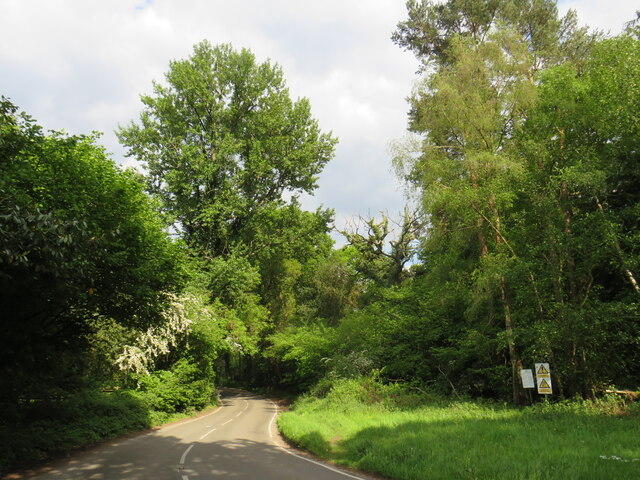
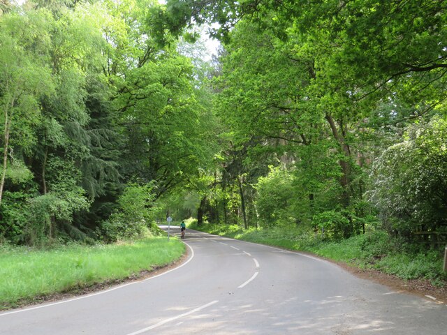
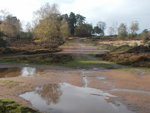
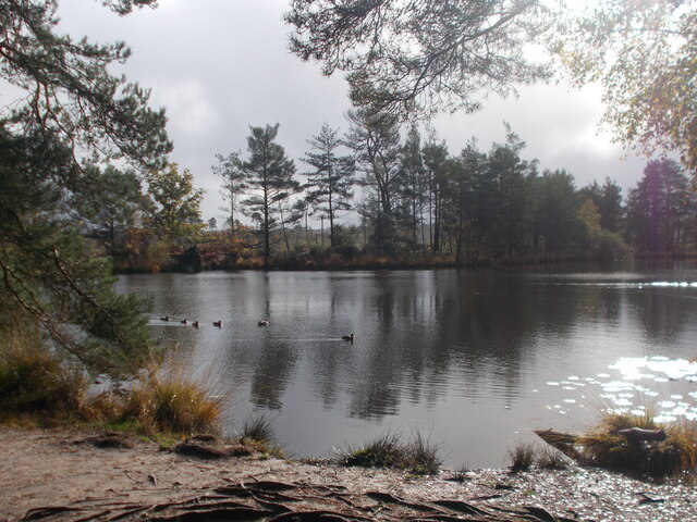
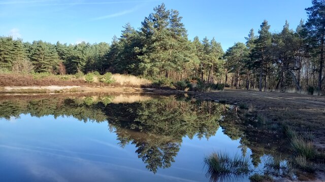
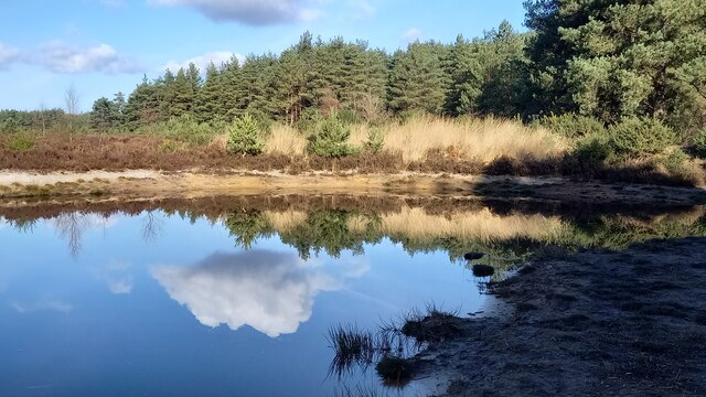
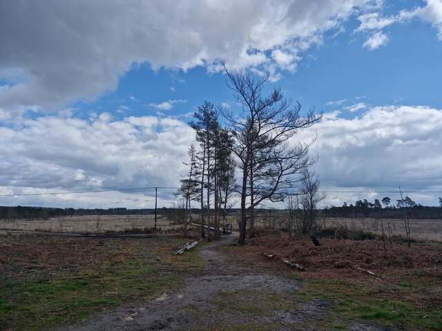
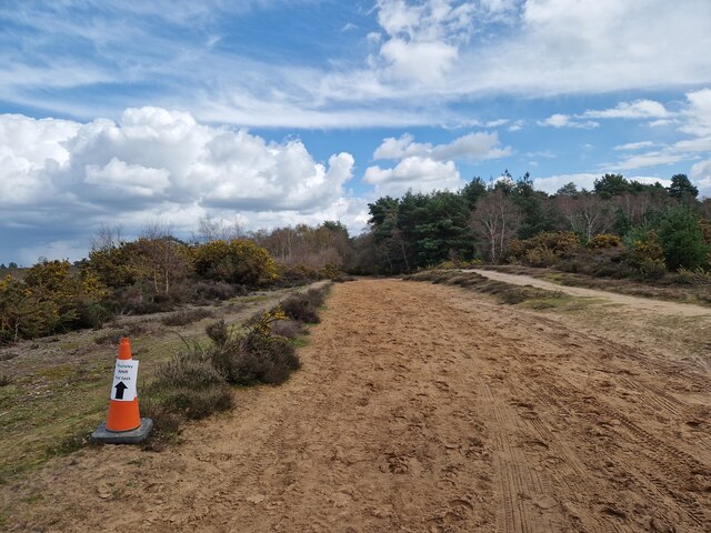
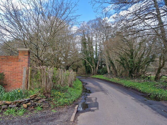
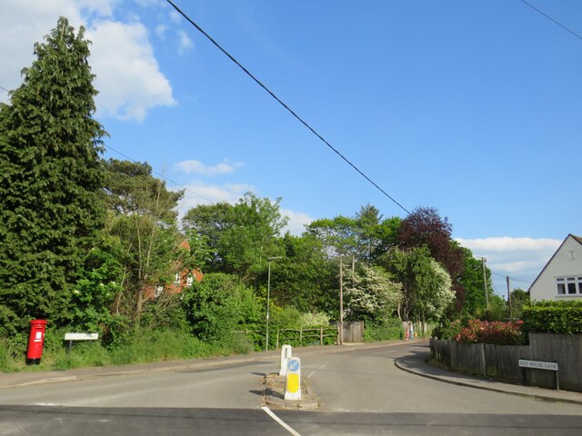
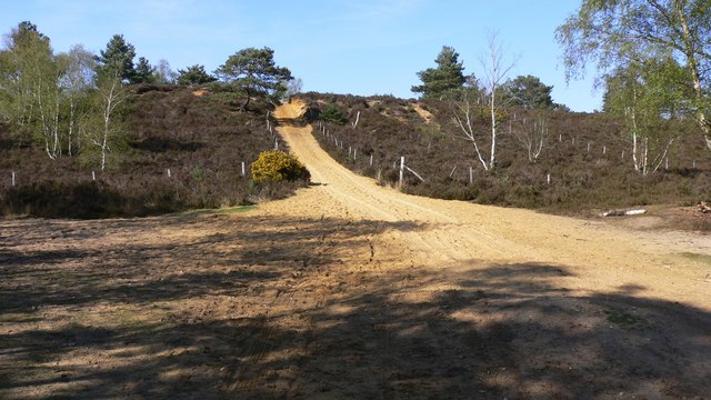
Woolford's Copse is a picturesque woodland located in the county of Surrey, England. Situated near the village of Wood, it covers an area of approximately 50 acres and is known for its dense forest and diverse wildlife.

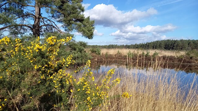
The copse is predominantly composed of a variety of deciduous trees, including oak, beech, and birch, which create a vibrant canopy during the summer months. The forest floor is covered in a lush carpet of ferns, bluebells, and wildflowers, offering a stunning display of colors and fragrances.

Woolford's Copse is a haven for wildlife enthusiasts and nature lovers alike. The woodland provides a habitat for numerous species of birds, such as woodpeckers, nuthatches, and nightingales, which can be heard singing their melodious tunes throughout the year. The copse is also home to small mammals like squirrels, foxes, and hedgehogs, as well as a variety of insects and butterflies.

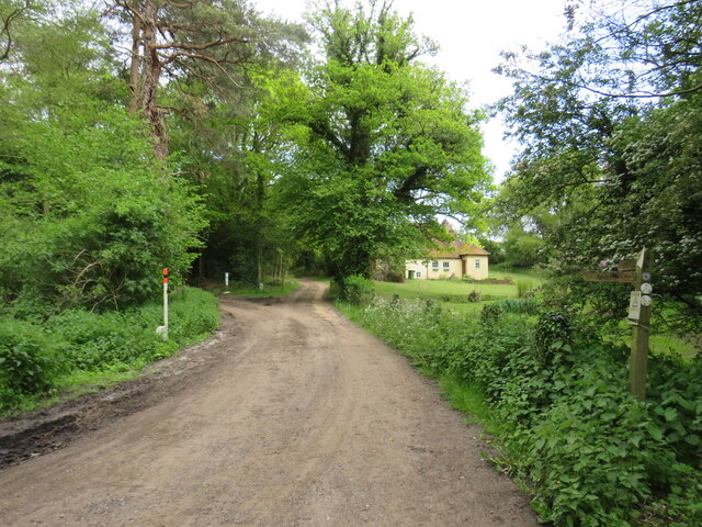
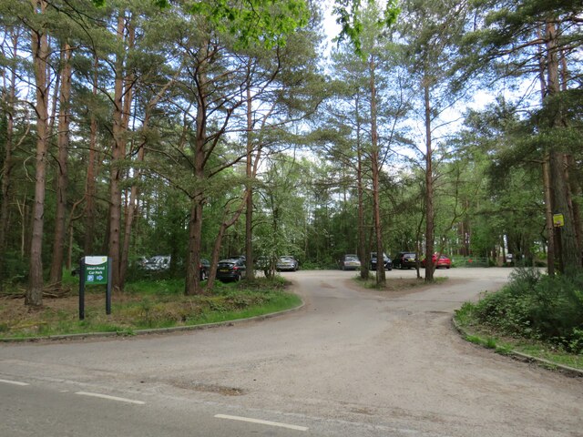
The copse offers a range of walking trails and footpaths, allowing visitors to explore its natural beauty at their own pace. These trails lead to hidden clearings and secluded spots, perfect for picnics or simply enjoying the tranquility of the surroundings.

Woolford's Copse is a popular destination for locals and tourists alike, offering a peaceful retreat from the hustle and bustle of everyday life. Its natural beauty, diverse wildlife, and well-maintained trails make it a must-visit location for anyone seeking solace in nature's embrace.

If you have any feedback on the listing, please let us know in the comments section below.

Woolford's Copse Images

Images are sourced within 2km of 51.172584/-0.71761125 or Grid Reference SU8942. Thanks to Geograph Open Source API. All images are credited.

Thursley Road near Thursley, Surrey A double bend on Thursley Road, passing through woodland in Surrey.
Thursley Road near Thursley, Surrey
A double bend on Thursley Road, passing through woodland in Surrey.
Thursley Road near Thursley, Surrey Thursley Road is a minor road passing through woodland in Surrey.
Thursley Road near Thursley, Surrey
Thursley Road is a minor road passing through woodland in Surrey.
Driveway and public bridleway near Thursley, Surrey A driveway leading to a cottage in Surrey woodland.  The driveway is a public right of way as a bridleway, indicated by the wooden signpost.
Driveway and public bridleway near Thursley, Surrey
A driveway leading to a cottage in Surrey woodland. The driveway is a public right of way as a bridleway, indicated by the wooden signpost.
Moat Pond Car Park near Elstead, Surrey A public car park in woodland near the village of Elstead in Surrey.
Moat Pond Car Park near Elstead, Surrey
A public car park in woodland near the village of Elstead in Surrey.
Yagden Hill on Hankley Common Plenty of pools of water around indicating recent rainfall.
Yagden Hill on Hankley Common
Plenty of pools of water around indicating recent rainfall.
Moat Pond, Thursley Common
Elstead Common Nature reserve with blooming gorse beside a heathland pond.
Elstead Common
Nature reserve with blooming gorse beside a heathland pond.
Elstead Common - Pond Nature reserve and heathland - reflective scene on the edge of coniferous woodland.
Elstead Common - Pond
Nature reserve and heathland - reflective scene on the edge of coniferous woodland.
Elstead Common Small pond on heathland in a nature reserve.
Elstead Common
Small pond on heathland in a nature reserve.
Navigating northwards along the Bashir (9 ) Road ahead closed at Elstead
Navigating northwards along the Bashir (9 )
Road ahead closed at Elstead
Navigating northwards up the Bashir (8) Path east of Moat Pond
Navigating northwards up the Bashir (8)
Path east of Moat Pond
Navigating northwards up the Bashir (10) Road works at Elstead
Navigating northwards up the Bashir (10)
Road works at Elstead
Navigating  northwards up the Bashire (7) Thursley Nature Reserve
Navigating northwards up the Bashire (7)
Thursley Nature Reserve
Springfield: early April 2023 (taken from the junction with Bankside Close)
Springfield: early April 2023
(taken from the junction with Bankside Close)
Navigating northwards up the Basher (11) Taken in Fulbrook Lane, just past Thundry Farm
Navigating northwards up the Basher (11)
Taken in Fulbrook Lane, just past Thundry Farm
Thursley Road, Pot Common, near Elstead Thursley Road is a minor road in Surrey,  Here it passes through the hamlet of Pot Common as it approaches the village of Elstead.
Thursley Road, Pot Common, near Elstead
Thursley Road is a minor road in Surrey, Here it passes through the hamlet of Pot Common as it approaches the village of Elstead.
Thursley Road, Elstead, near Farnham Thursley Road entering the village of Elstead in Surrey.
Thursley Road, Elstead, near Farnham
Thursley Road entering the village of Elstead in Surrey.
Red House Lane, Elstead, near Farnham Red House Lane is a minor road in the village of Elstead in Surrey.
Red House Lane, Elstead, near Farnham
Red House Lane is a minor road in the village of Elstead in Surrey.
Show me another place!

Woolford's Copse is located at Grid Ref: SU8942 (Lat: 51.172584, Lng: -0.71761125)

Administrative County: Surrey

District: Waverley

Police Authority: Surrey

What 3 Words

///splints.cropping.buzzing. Near Elstead, Surrey

Related Wikis

Thursley Common

Thursley Common is a national nature reserve in Surrey, England, and has also been designated as a Ramsar wetland. It is also part of a Site of Special...

Hankley Farm

Hankley Farm is a 2.4-hectare (5.9-acre) biological Site of Special Scientific Interest (SSSI) west of Elstead in Surrey.This sandy arable field has been...

Hankley Common

Hankley Common is a 560-hectare (1,400-acre) nature reserve and filming location in the south-west of Elstead in Surrey. It is owned by the Ministry of...

Thursley, Hankley and Frensham Commons

Thursley, Hankley and Frensham Commons is a 1,878.5-hectare (4,642-acre) biological Site of Special Scientific Interest west of Godalming in Surrey. Thursley...

Charleshill SSSI

Charleshill SSSI is a 10.1-hectare (25-acre) biological Site of Special Scientific Interest west of Elstead in Surrey. It is part of Thundry Meadows nature...

Thundry Meadows

Thundry Meadows is a 16-hectare (40-acre) nature reserve in Elstead in Surrey. It is managed by the Surrey Wildlife Trust. Part of it is Charleshill Site...

Elstead

Elstead is a civil parish in Surrey, England with shops, houses and cottages spanning the north and south sides of the River Wey; development is concentrated...
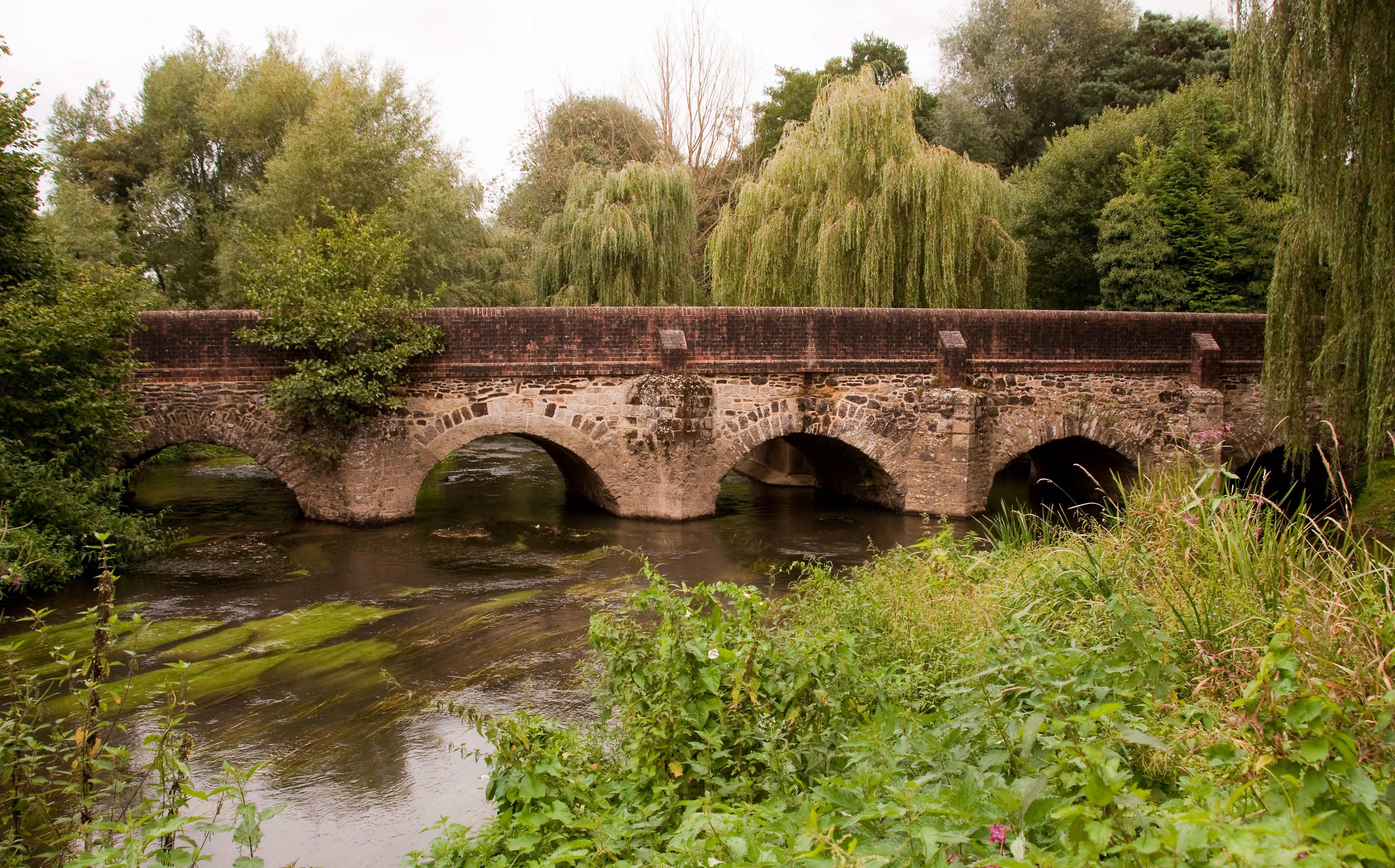
River Wey

The River Wey is a main tributary of the River Thames in south east England. Its two branches, one of which rises near Alton in Hampshire and the other...

Nearby Amenities

Located within 500m of 51.172584,-0.71761125
Post Box
Post Box Type: wall
Ref: GU8 51
Royal Cypher: VR
Royal Cypher Wikidata: Q33102356
Source: photo
Lat/Long: 51.1714395/-0.7138246
Farnham Archers
Source: photo
Sport: archery
Lat/Long: 51.171447/-0.7198717
Bus Stop
Cockhill
Naptan AtcoCode: 40004411086A
Naptan Bearing: N
Naptan CommonName: Cockhill
Naptan Indicator: N-bound
Naptan Landmark: Cockhill
Naptan NaptanCode: surdtmap
Naptan Street: Thursley Road
Naptan Verified: no
Source: naptan_import
Lat/Long: 51.1714725/-0.71408
Cockhill
Naptan AtcoCode: 40004411086B
Naptan Bearing: S
Naptan BusStopType: CUS
Naptan CommonName: Cockhill
Naptan Indicator: S-bound
Naptan Landmark: Cockhill
Naptan NaptanCode: surgpdwa
Naptan Street: Thursley Road
Naptan Verified: no
Source: naptan_import
Lat/Long: 51.1713983/-0.7138675
The data included in this document is from www.openstreetmap.org. The data is made available under ODbL.

Have you been to Woolford's Copse?

Leave your review of Woolford's Copse below (or comments, questions and feedback).