Appletree Bottom
Valley in Sussex Chichester
England
Appletree Bottom
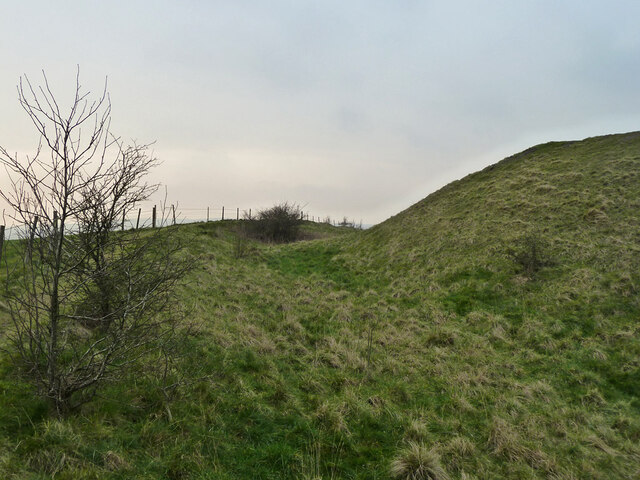
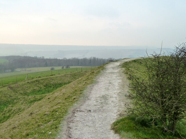
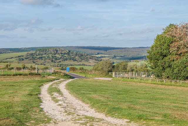
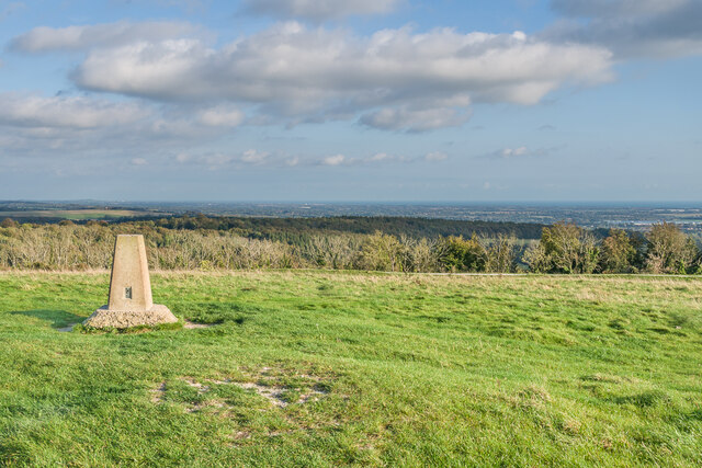
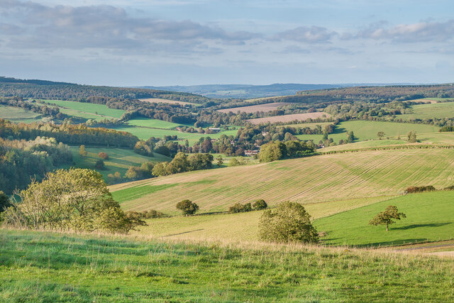
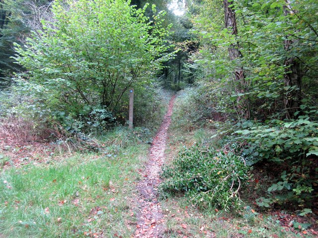
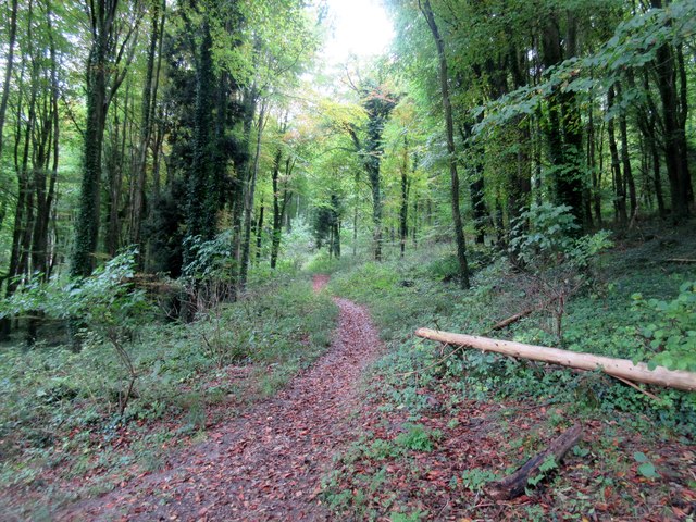
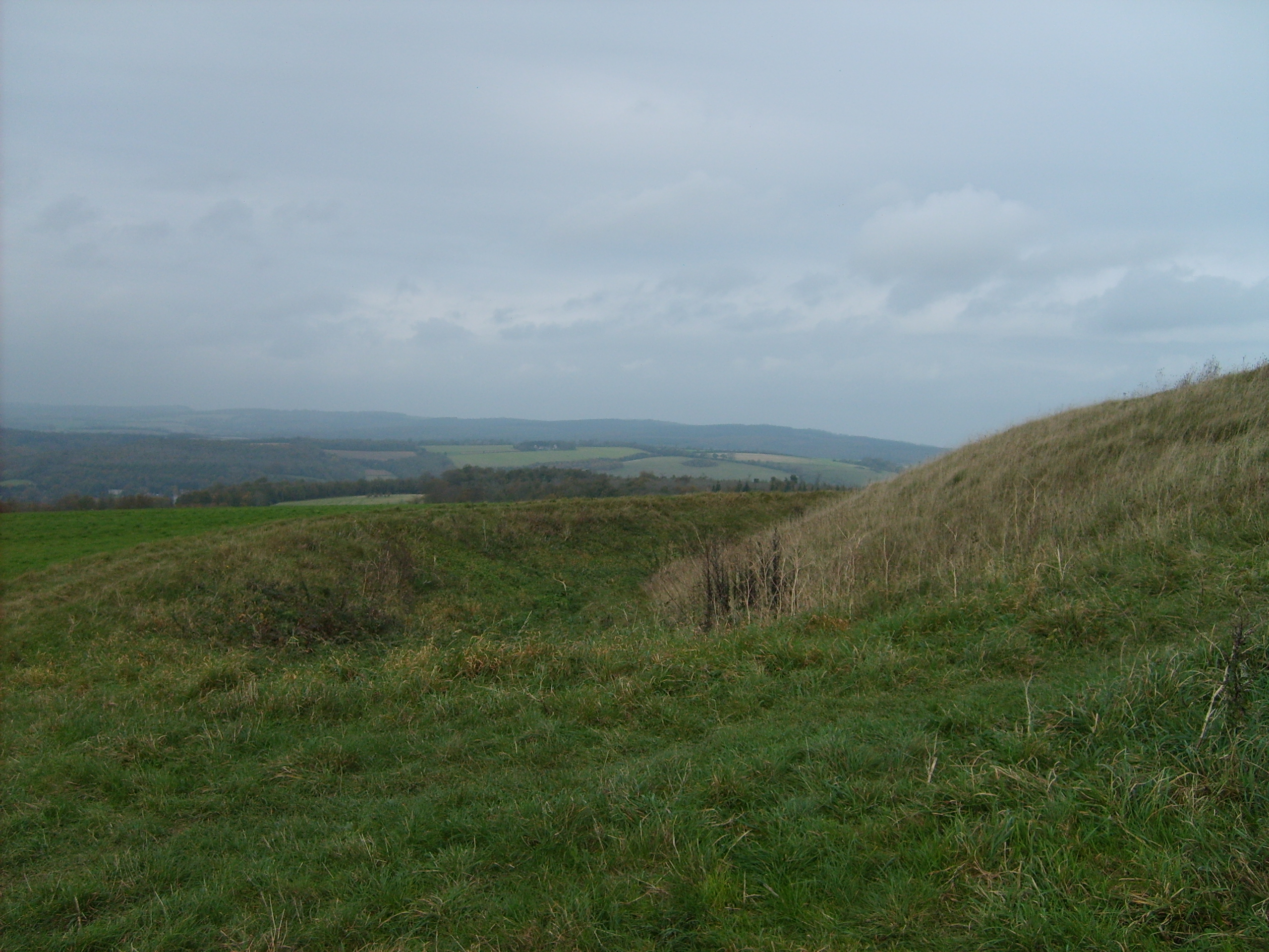
Appletree Bottom is a picturesque valley located in the county of Sussex, England. Nestled within the South Downs National Park, this idyllic countryside destination offers breathtaking views and a tranquil atmosphere that attracts nature enthusiasts and hikers alike.
The valley is characterized by its lush green meadows, rolling hills, and meandering streams. It is named after the abundance of apple trees that dot the landscape, adding a touch of beauty and charm to the surroundings. These apple trees are not only aesthetically pleasing but also play a vital role in the local economy, as many of them are used for the production of cider and other apple-based products.
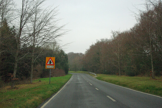
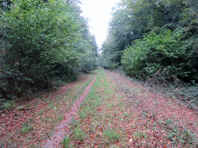
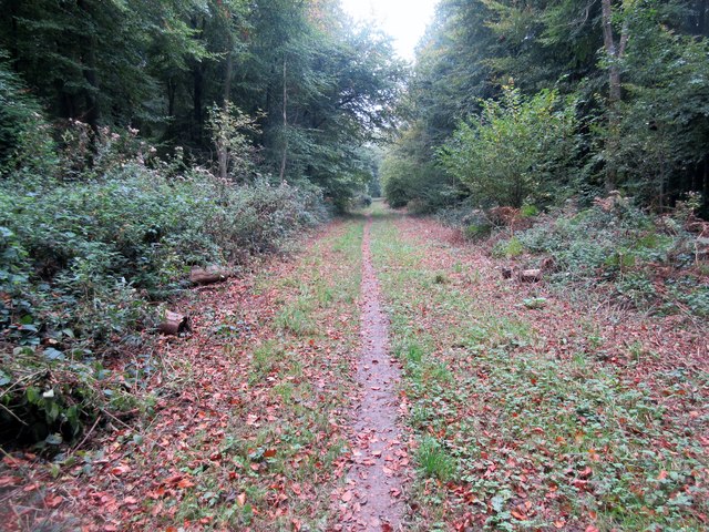
As visitors explore Appletree Bottom, they can take advantage of the various walking trails that crisscross the area, catering to different levels of difficulty. These trails allow visitors to immerse themselves in the stunning natural scenery, spot local wildlife such as deer and rabbits, and enjoy the peacefulness of the valley.
In addition to its natural beauty, Appletree Bottom also boasts a rich history. The area has been inhabited for centuries, with evidence of human presence dating back to the Neolithic period. Ruins of ancient settlements and burial mounds can still be seen in the valley, serving as a reminder of the region's past.
Overall, Appletree Bottom is a hidden gem in Sussex, offering a harmonious blend of natural beauty and historical significance. Whether for a leisurely stroll, a picnic in the meadows, or a deeper exploration of the valley's history, visitors are sure to find solace and inspiration in this enchanting destination.
If you have any feedback on the listing, please let us know in the comments section below.
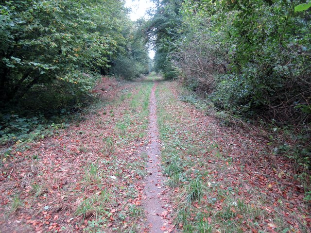
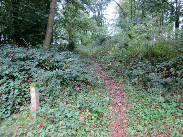
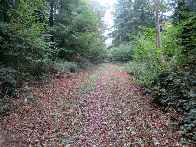
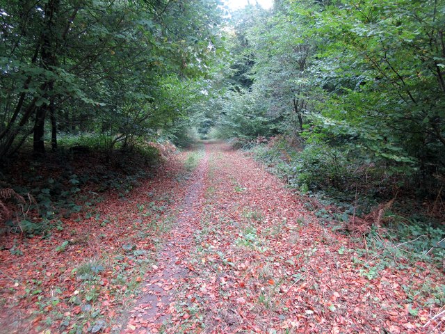
Appletree Bottom Images
Images are sourced within 2km of 50.890674/-0.72761366 or Grid Reference SU8910. Thanks to Geograph Open Source API. All images are credited.
Appletree Bottom is located at Grid Ref: SU8910 (Lat: 50.890674, Lng: -0.72761366)
Administrative County: West Sussex
District: Chichester
Police Authority: Sussex
What 3 Words
///indicate.intro.spans. Near Boxgrove, West Sussex
Nearby Locations
Related Wikis

Goodwood Country Park
Goodwood Country Park is a Country Park in West Sussex in southern England. It is within the estate of Goodwood House near Chichester, and next to Goodwood...

East Dean Park Wood
East Dean Park Wood is a 17.8-hectare (44-acre) biological Site of Special Scientific Interest south of East Dean in West Sussex.Dry sheltered woods on...

Chichester North (electoral division)
Chichester North is an electoral division of West Sussex in the United Kingdom, and returns one member to sit on West Sussex County Council. == Extent... ==
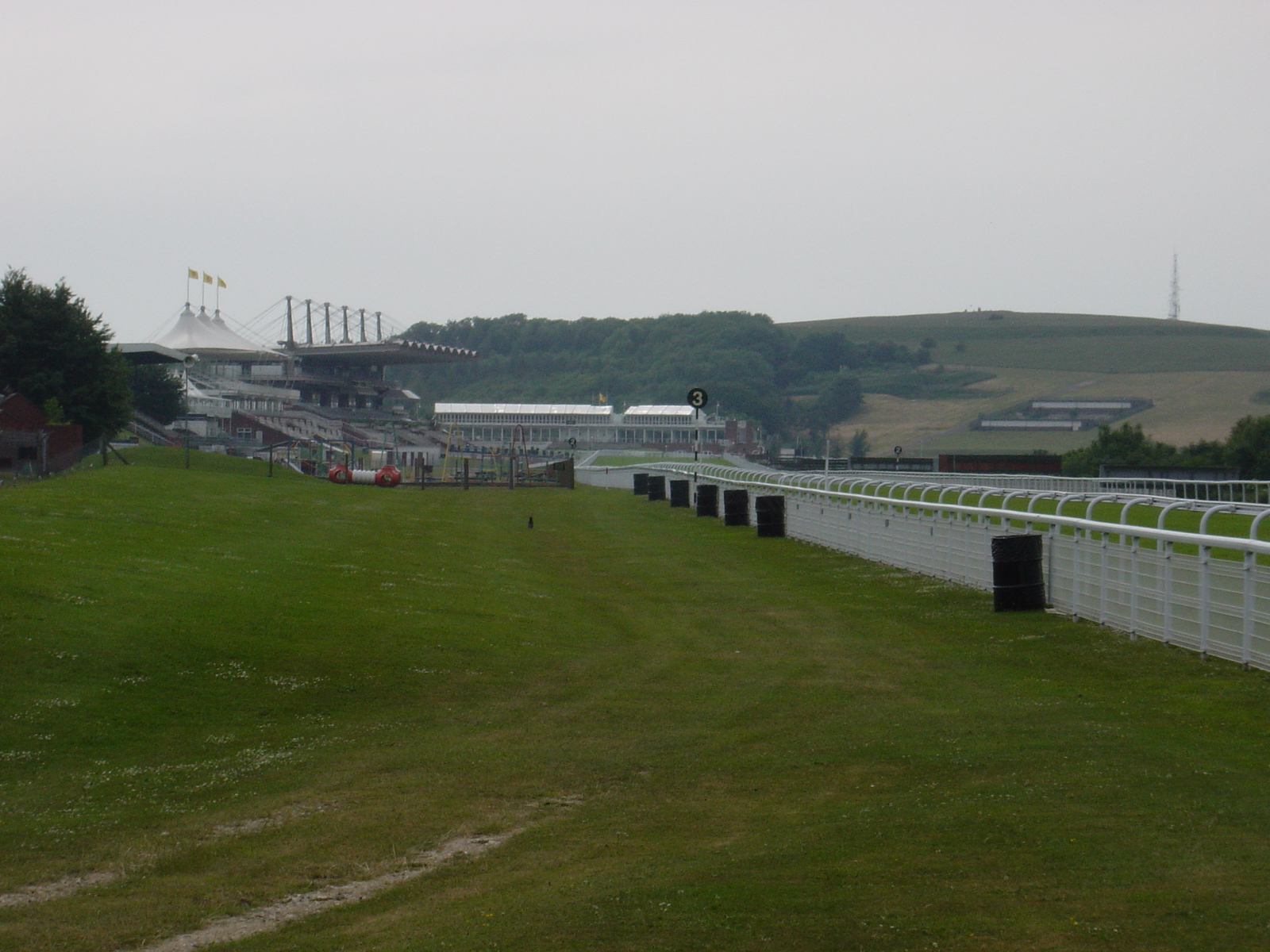
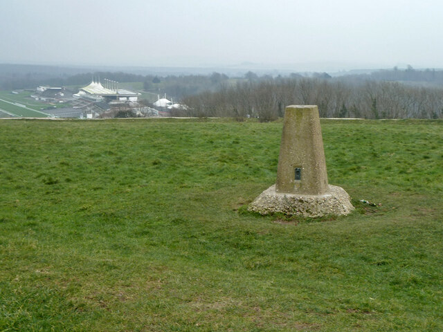
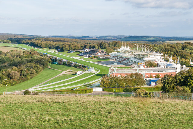
Goodwood Racecourse
Goodwood Racecourse is a horse-racing track five miles north of Chichester, West Sussex, in England controlled by the family of the Duke of Richmond, whose...
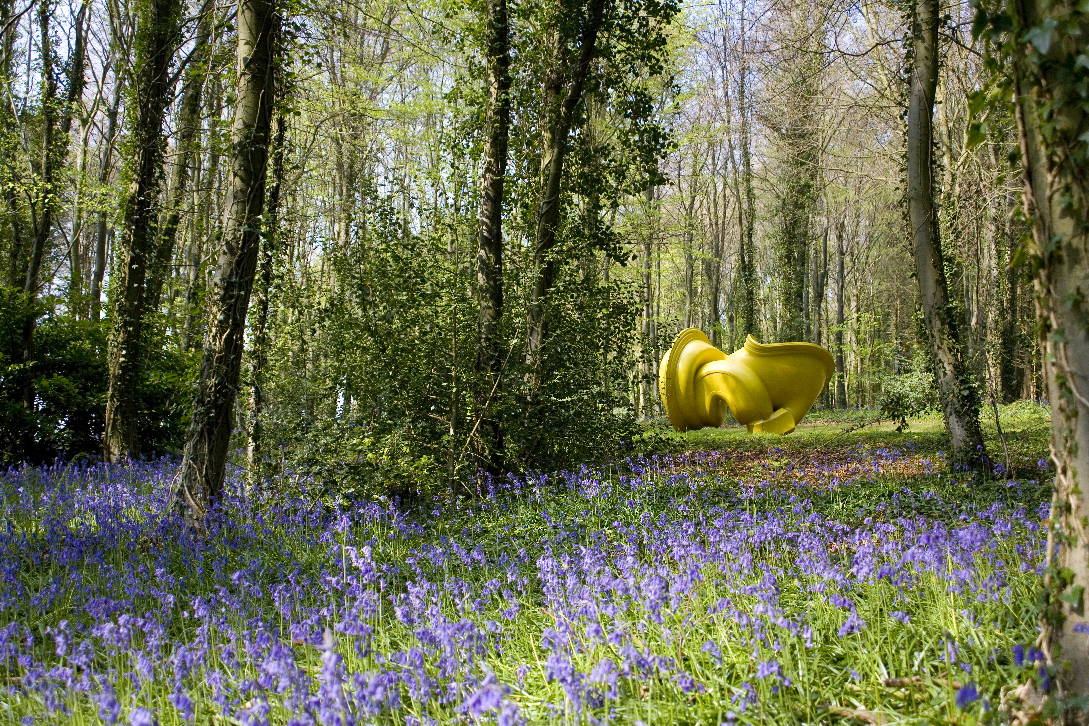
Cass Sculpture Foundation
The Cass Sculpture Foundation was a charitable commissioning body based in Goodwood, Sussex, England. The Foundation's 26-acre grounds were home to an...
The Trundle
The Trundle is an Iron Age hillfort on St Roche's Hill about 4 miles (6 km) north of Chichester, West Sussex, England, built on the site of a causewayed...

East Dean, West Sussex
East Dean is a village and civil parish in the District of Chichester in West Sussex, England. The village is in a valley in the South Downs, 5+1⁄2 miles...

Charlton, West Sussex
Charlton is a hamlet in the Chichester district of West Sussex, England. It lies on the Singleton to East Dean road 5.3 miles (8.6 km) north of Chichester...
Nearby Amenities
Located within 500m of 50.890674,-0.72761366Have you been to Appletree Bottom?
Leave your review of Appletree Bottom below (or comments, questions and feedback).