Shortlands Dale
Valley in Yorkshire
England
Shortlands Dale
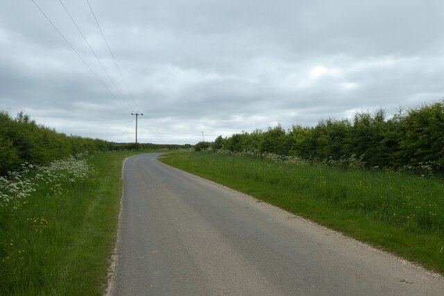
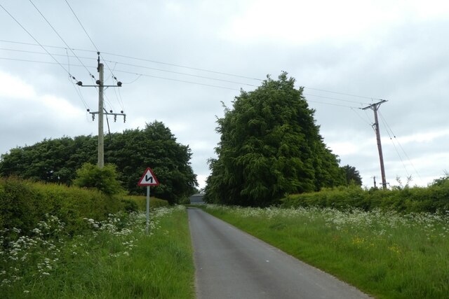
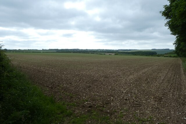
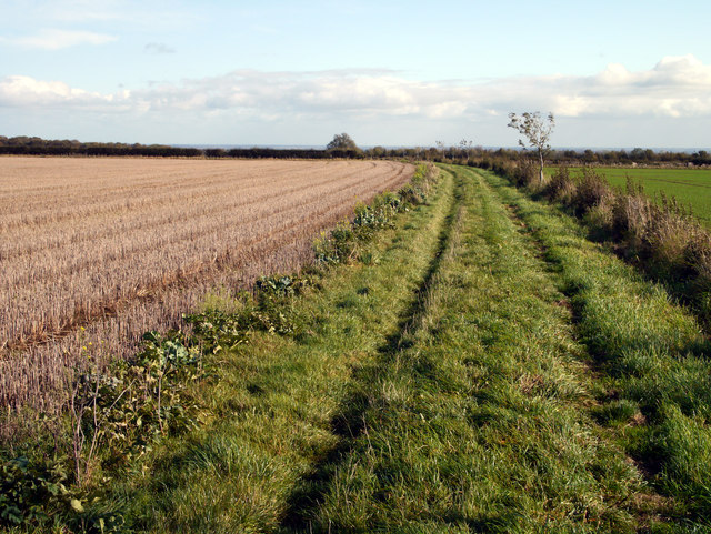
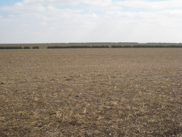
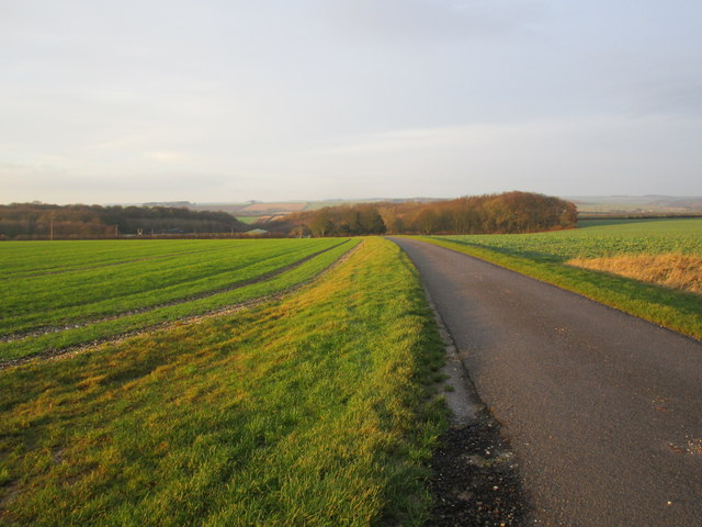
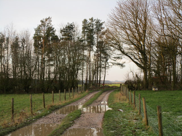
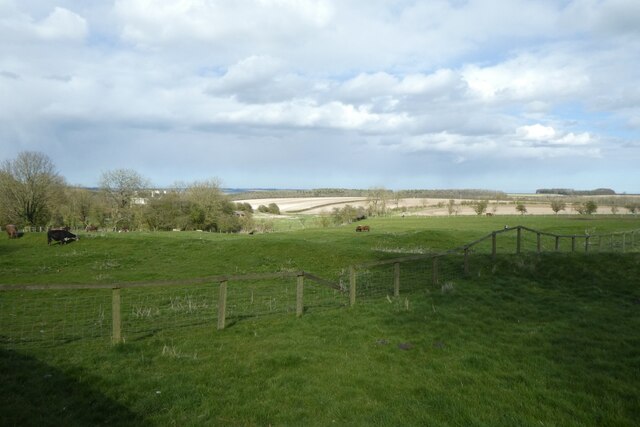
Shortlands Dale is a picturesque valley located in the county of Yorkshire, in northern England. Situated within the Yorkshire Dales National Park, it is renowned for its natural beauty and tranquil atmosphere. The dale is nestled between rolling hills and is characterized by its lush green meadows, scattered woodlands, and the meandering River Shortlands.
The valley is a haven for wildlife, with a diverse range of flora and fauna thriving in its unspoiled environment. Visitors to Shortlands Dale can expect to see a variety of bird species, including kingfishers and herons, as well as small mammals such as otters and badgers. The river itself is known for its clear waters, making it a popular spot for fishing enthusiasts.
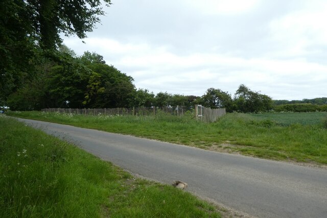
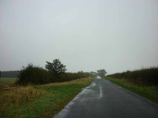
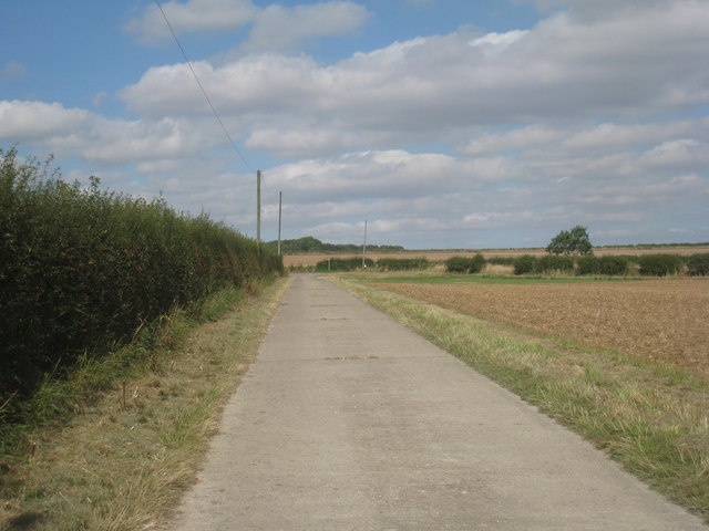
The surrounding hills offer breathtaking views of the dale, and there are numerous walking and hiking trails for outdoor enthusiasts to explore. These trails vary in difficulty, catering to both casual walkers and more experienced hikers. Along the way, visitors can discover hidden waterfalls, ancient stone walls, and remnants of old mining activities, which provide insight into the area's historical significance.
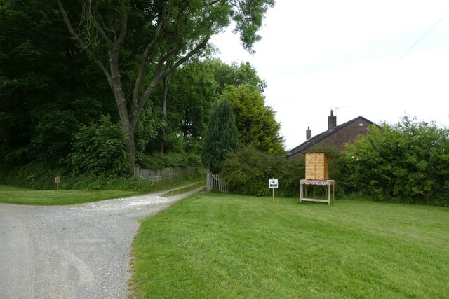
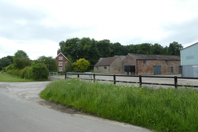
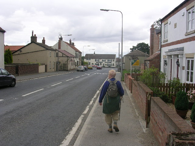
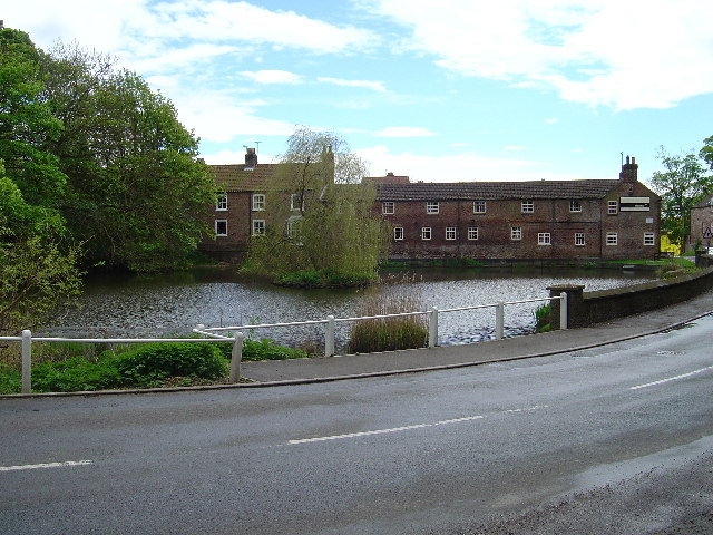
Shortlands Dale is not only a natural haven but also a place of cultural interest. The nearby village of Shortlands is home to charming stone cottages, traditional pubs, and a welcoming community. The village hosts various events throughout the year, including fairs and festivals, providing an opportunity for visitors to immerse themselves in the local culture.
Overall, Shortlands Dale offers a serene retreat into nature, with its stunning landscapes, diverse wildlife, and rich history. It is a must-visit destination for those seeking an escape from the hustle and bustle of everyday life.
If you have any feedback on the listing, please let us know in the comments section below.
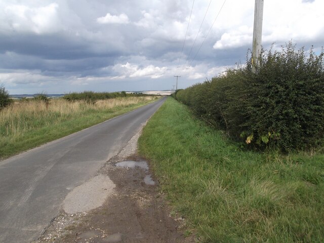
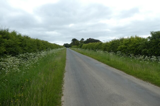
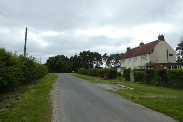
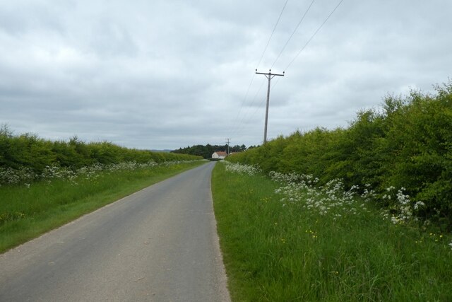
Shortlands Dale Images
Images are sourced within 2km of 53.988142/-0.63360057 or Grid Reference SE8955. Thanks to Geograph Open Source API. All images are credited.
Shortlands Dale is located at Grid Ref: SE8955 (Lat: 53.988142, Lng: -0.63360057)
Division: East Riding
Unitary Authority: East Riding of Yorkshire
Police Authority: Humberside
What 3 Words
///gossiped.starring.diner. Near Wetwang, East Yorkshire
Related Wikis

Huggate
Huggate is a village and civil parish in the East Riding of Yorkshire, England. It is situated approximately 13 miles (21 km) north-west of Beverley town...
Fridaythorpe
Fridaythorpe is a village and civil parish in the East Riding of Yorkshire, England. It is situated approximately 8 miles (13 km) north-east of Pocklington...

Wetwang
Wetwang is a Yorkshire Wolds village and civil parish in the East Riding of Yorkshire, England, 6 miles (10 kilometres) west of Driffield on the A166 road...

Fimber
Fimber is a village and civil parish in the East Riding of Yorkshire, England. It is situated approximately 8 miles (13 km) north-west of Driffield town...
North Dalton
North Dalton is a village and civil parish in the East Riding of Yorkshire, England. It is situated approximately 6 miles (10 km) south-west of the town...

Wetwang Slack
Wetwang Slack is an Iron Age archaeological site containing remains of the Arras culture and chariot burial tradition of East Yorkshire. Archaeological...
Bigger Trees Near Warter
Bigger Trees Near Warter or ou Peinture en Plein Air pour l'age Post-Photographique is a large landscape painting by British artist David Hockney. Measuring...

Yorkshire Wolds Railway
The Yorkshire Wolds Railway is a preserved railway in the East Riding of Yorkshire, England. It is located on a section of the Malton and Driffield Junction...
Nearby Amenities
Located within 500m of 53.988142,-0.63360057Have you been to Shortlands Dale?
Leave your review of Shortlands Dale below (or comments, questions and feedback).