Soldier's Clump
Wood, Forest in Sussex Chichester
England
Soldier's Clump
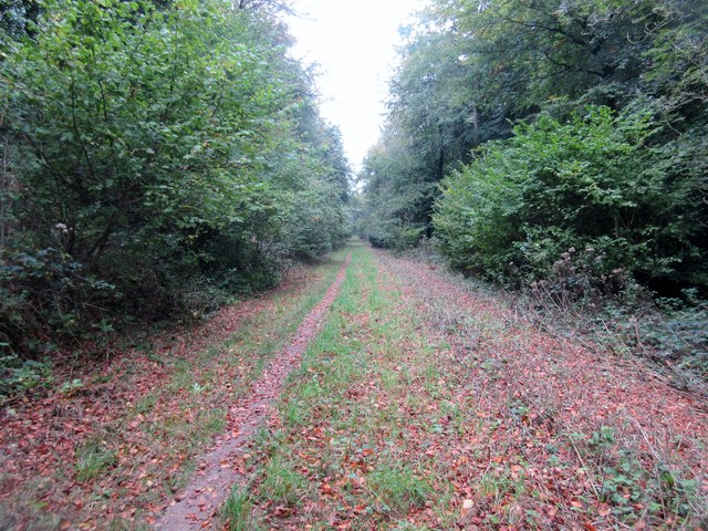
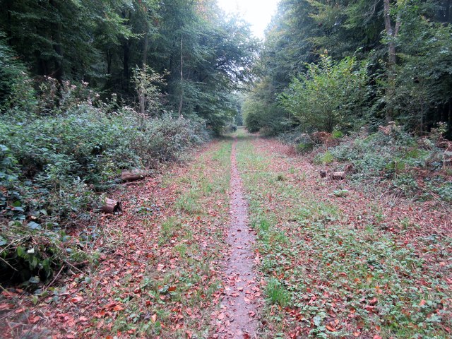
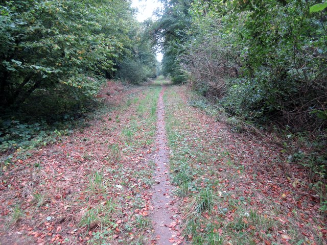
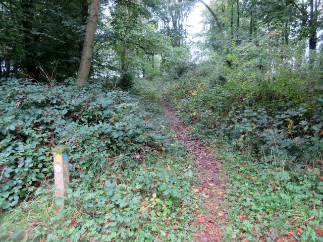
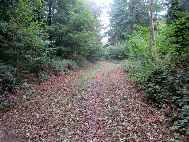
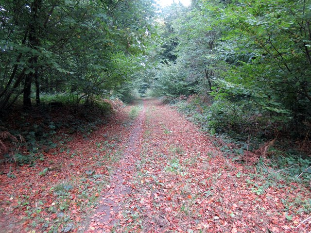
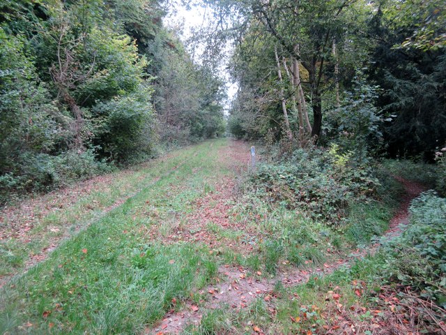
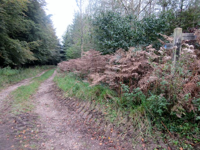
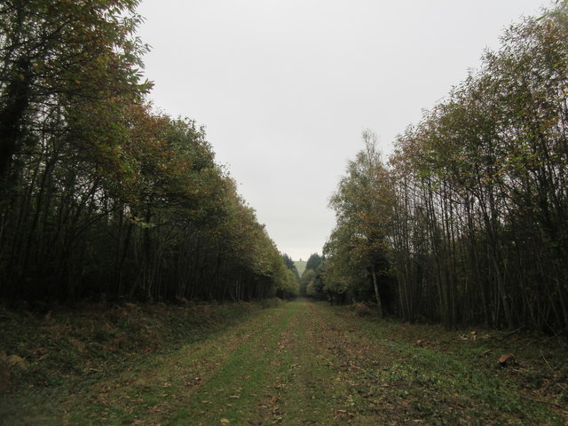
Soldier's Clump is a woodland area located in Sussex, England. Covering an approximate area of 50 acres, it is situated within the larger Ashdown Forest, a protected area known for its natural beauty and diverse wildlife. Soldier's Clump is characterized by its dense and ancient woodland, consisting primarily of oak and beech trees.
The name "Soldier's Clump" originates from a historical association with the military. During the Napoleonic Wars, this area served as a training ground for soldiers, hence the name. Today, however, it is a popular destination for nature enthusiasts, hikers, and birdwatchers due to its tranquil atmosphere and abundant wildlife.
The woodland of Soldier's Clump is home to a variety of plant and animal species. It boasts a rich undergrowth of ferns, bluebells, and wild garlic, creating a picturesque landscape during the spring and summer months. The forest floor is also adorned with moss-covered fallen logs and ancient tree stumps, adding to the area's natural charm.
The woodland provides a habitat for numerous bird species, including woodpeckers, owls, and various songbirds. Keep an eye out for the elusive deer that roam the forest, as well as other small mammals such as foxes, rabbits, and squirrels.
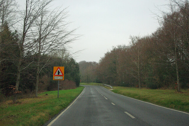
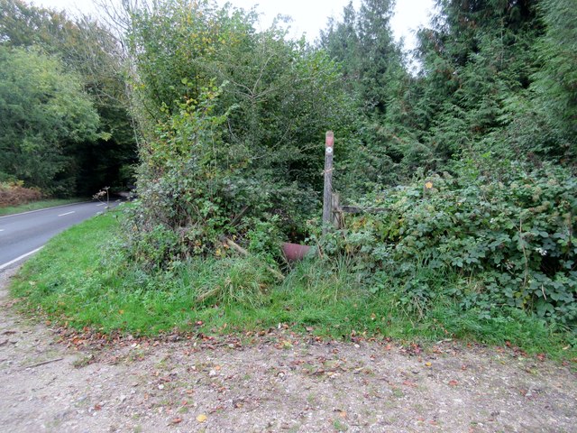
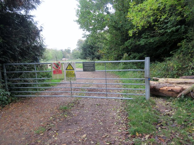
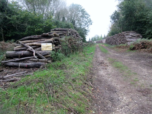
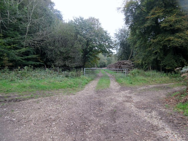
Soldier's Clump is well-maintained, with marked trails and footpaths allowing visitors to explore its enchanting beauty. It offers a peaceful escape from the hustle and bustle of everyday life, providing an opportunity to immerse oneself in nature and enjoy the tranquility of the Sussex countryside.
If you have any feedback on the listing, please let us know in the comments section below.
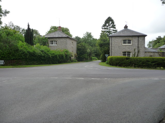
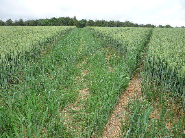
Soldier's Clump Images
Images are sourced within 2km of 50.88679/-0.72277197 or Grid Reference SU8910. Thanks to Geograph Open Source API. All images are credited.
Soldier's Clump is located at Grid Ref: SU8910 (Lat: 50.88679, Lng: -0.72277197)
Administrative County: West Sussex
District: Chichester
Police Authority: Sussex
What 3 Words
///bitters.cheeses.kidney. Near Boxgrove, West Sussex
Nearby Locations
Related Wikis

Goodwood Country Park
Goodwood Country Park is a Country Park in West Sussex in southern England. It is within the estate of Goodwood House near Chichester, and next to Goodwood...
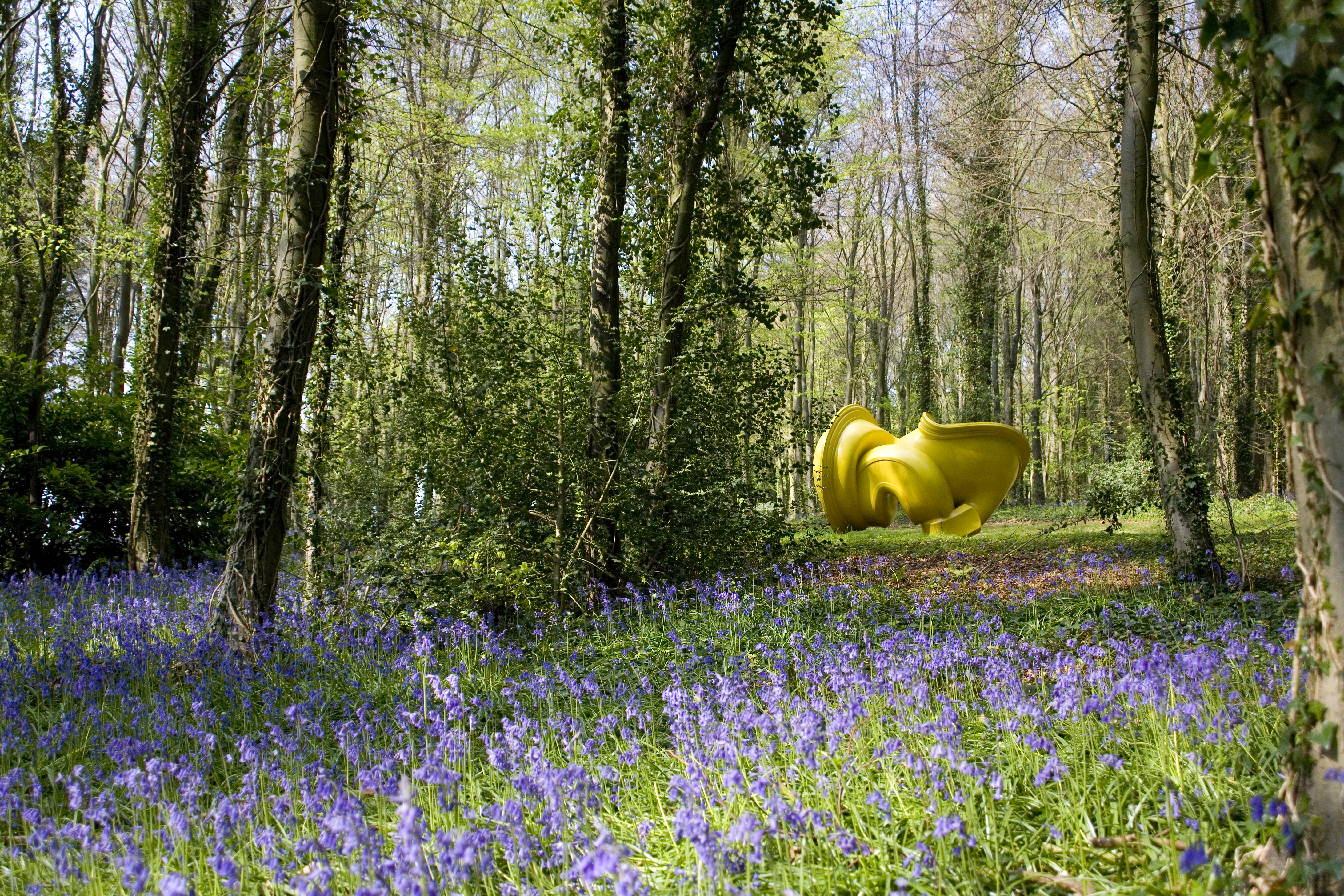
Cass Sculpture Foundation
The Cass Sculpture Foundation was a charitable commissioning body based in Goodwood, Sussex, England. The Foundation's 26-acre grounds were home to an...

East Dean Park Wood
East Dean Park Wood is a 17.8-hectare (44-acre) biological Site of Special Scientific Interest south of East Dean in West Sussex.Dry sheltered woods on...

Chichester North (electoral division)
Chichester North is an electoral division of West Sussex in the United Kingdom, and returns one member to sit on West Sussex County Council. == Extent... ==
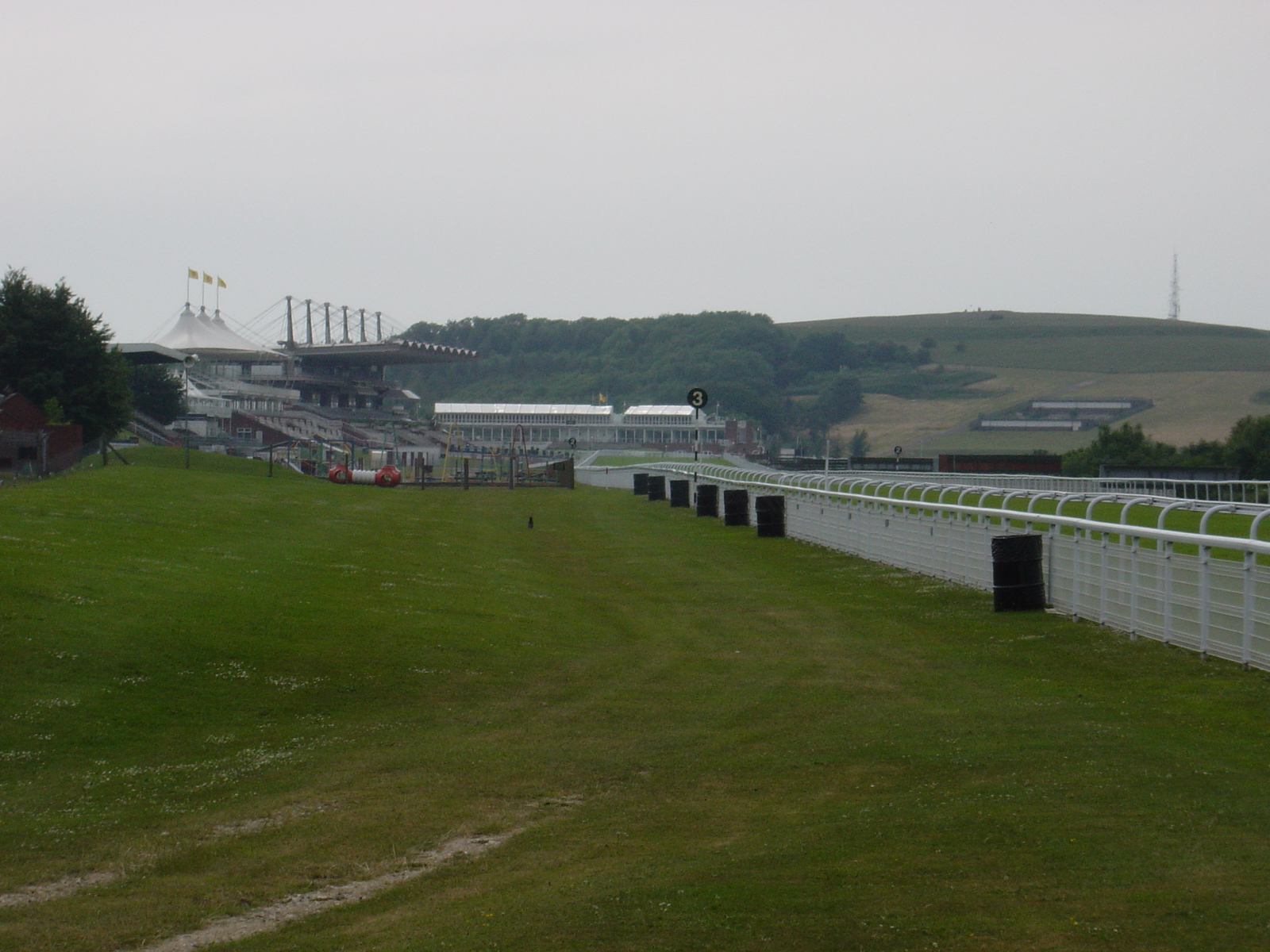
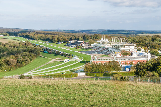
Goodwood Racecourse
Goodwood Racecourse is a horse-racing track five miles north of Chichester, West Sussex, in England controlled by the family of the Duke of Richmond, whose...

Goodwood Cricket
Goodwood Cricket Club is a Sunday cricket team that play in the grounds of Goodwood Park, near Chichester. The ground overlooks Goodwood House and is owned...
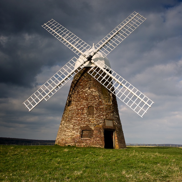
Halnaker Windmill
Halnaker Windmill is a tower mill which stands on Halnaker Hill, northeast of Chichester, Sussex, England. The mill is reached by a public footpath from...
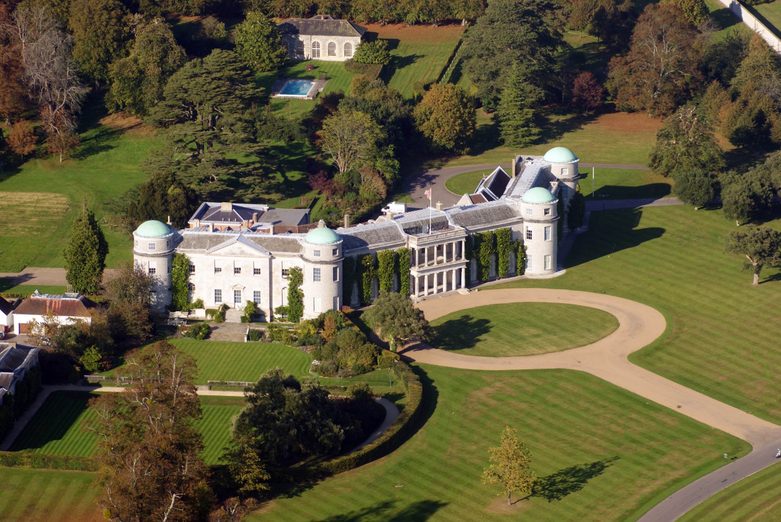
Goodwood House
Goodwood House is a country house and estate covering 4,900 hectares (49 km2) in Westhampnett, Chichester, West Sussex, England and is the seat of the...
Nearby Amenities
Located within 500m of 50.88679,-0.72277197Have you been to Soldier's Clump?
Leave your review of Soldier's Clump below (or comments, questions and feedback).