Chawridge Gorse
Wood, Forest in Berkshire
England
Chawridge Gorse

Chawridge Gorse is a small woodland area located in the county of Berkshire, England. Situated near the village of Chawridge, it covers an area of approximately 10 hectares (25 acres) and is primarily composed of gorse bushes.
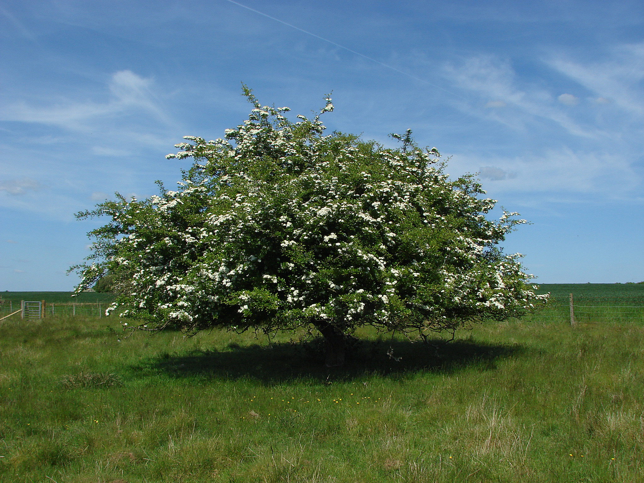
Gorse, also known as furze, is a spiny evergreen shrub that is native to the British Isles. It is characterized by its bright yellow flowers that bloom from late winter to early summer, providing a vibrant display of color. The dense growth of gorse bushes in Chawridge Gorse creates a unique and picturesque landscape.
The woodland is home to a variety of wildlife species, including birds, insects, and small mammals. The gorse bushes provide excellent nesting sites for birds such as the stonechat and linnet, while the dense thorny branches offer protection from predators. Insect species, such as butterflies and bees, are attracted to the nectar-rich flowers of the gorse.
Chawridge Gorse is a popular destination for nature enthusiasts and walkers, offering peaceful trails and scenic views. The woodland is managed by the local authorities, ensuring the preservation of its natural beauty and biodiversity. Visitors are encouraged to follow designated paths and respect the wildlife and vegetation in the area.
Overall, Chawridge Gorse in Berkshire is a charming woodland area that showcases the beauty of gorse bushes and provides a haven for a diverse range of wildlife. It offers a tranquil escape for those seeking a peaceful and picturesque natural environment.
If you have any feedback on the listing, please let us know in the comments section below.
Chawridge Gorse Images
Images are sourced within 2km of 51.46226/-0.71433193 or Grid Reference SU8974. Thanks to Geograph Open Source API. All images are credited.


Chawridge Gorse is located at Grid Ref: SU8974 (Lat: 51.46226, Lng: -0.71433193)
Unitary Authority: Bracknell Forest
Police Authority: Thames Valley
What 3 Words
///spell.wallet.shiny. Near Warfield, Berkshire
Nearby Locations
Related Wikis

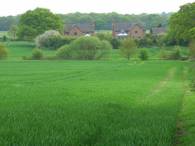
Foliejon Park
Foliejon Park is a manorial country house in the civil parish of Winkfield in the English county of Berkshire. The building has been listed as Grade II...
Chawridge Bourne
Chawridge Bourne is a 9.4-hectare (23-acre) biological Site of Special Scientific Interest in Berkshire, England Part of the site is a 5-hectare (12-acre...

Nuptown
Nuptown is a hamlet in Berkshire, England, and part of the civil parish of Warfield. The settlement lies near to the A330 road, and is located approximately...
Braywoodside
Braywoodside is a hamlet in Berkshire,in the south east of England. It is located roughly 10 km west-south-west of Slough, and 15 km east of Reading.
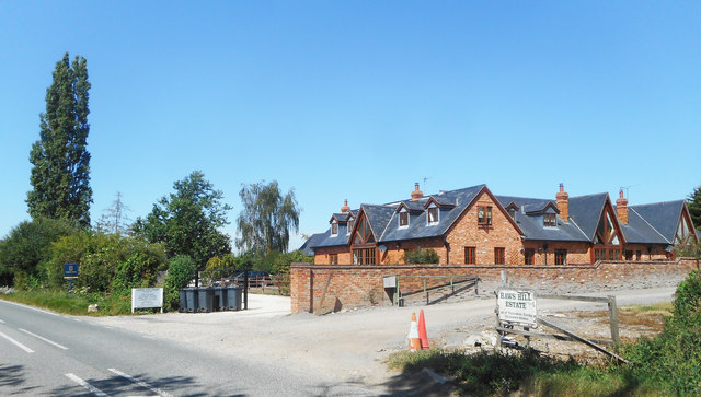
Hawthorn Hill, Berkshire
Hawthorn Hill is a hamlet in Berkshire, England, within the civil parish of Warfield. The settlement lies at the junction of the A3095 and A330 roads,...
Maiden's Green
Maiden's Green or Maidens Green is a small village in Berkshire, England, in the civil parish of Winkfield. == Geography == The settlement lies near to...
Brock Hill
Brock Hill is a hamlet in Berkshire, England, within the civil parish of Warfield. The settlement lies near to the A330 road and is approximately 2.5 miles...
Touchen End
Touchen End, formerly written Touchen-end, is a village in the civil parish of Bray in the English county of Berkshire. It is situated about 3 miles (4...
Nearby Amenities
Located within 500m of 51.46226,-0.71433193Have you been to Chawridge Gorse?
Leave your review of Chawridge Gorse below (or comments, questions and feedback).