Angle Plantation

Wood, Forest in Lincolnshire South Kesteven

England

Angle Plantation

The Salt Way at Three Queens Three Queens is the name of the wood to the right of the road. It sits at the corner of the crossing of two ancient routes: the Salt Way (this road), and Sewstern Lane (crossing left to right at the start of the bend).
"The name Three Queens is said to refer to the burial barrows of three queens of the Bronze Age." <span class="nowrap"><a title="http://local-history.org.uk/waltham/pages/local-history/croxton-park-abbey/" rel="nofollow ugc noopener" href="http://local-history.org.uk/waltham/pages/local-history/croxton-park-abbey/">Link</a><img style="margin-left:2px;" alt="External link" title="External link - shift click to open in new window" src="https://s1.geograph.org.uk/img/external.png" width="10" height="10"/></span>. Several barrows have certainly been recorded here (Leicestershire historic environment record MLE3559 <span class="nowrap"><a title="https://www.heritagegateway.org.uk/Gateway/Results_Single.aspx?uid=MLE3559&resourceID=1021" rel="nofollow ugc noopener" href="https://www.heritagegateway.org.uk/Gateway/Results_Single.aspx?uid=MLE3559&resourceID=1021">Link</a><img style="margin-left:2px;" alt="External link" title="External link - shift click to open in new window" src="https://s1.geograph.org.uk/img/external.png" width="10" height="10"/></span> ), one containing the skeleton of a woman.
<span class="nowrap"><a title="https://www.bottesfordhistory.org.uk/content/about/read-it-hear-not-forgetting/not-forgetting-chapter-9-getting-about-in-the-past" rel="nofollow ugc noopener" href="https://www.bottesfordhistory.org.uk/content/about/read-it-hear-not-forgetting/not-forgetting-chapter-9-getting-about-in-the-past">Link</a><img style="margin-left:2px;" alt="External link" title="External link - shift click to open in new window" src="https://s1.geograph.org.uk/img/external.png" width="10" height="10"/></span> states "Here stood an 18th Century hostelry “of ill repute”, The Three Queens, frequented by cattle drovers and perhaps footpads. The inn eventually closed when the ancient trackways were replaced by newer roads, and there is nothing at the site now except a muddy track crossing a minor road."
The Salt Way at Three Queens Credit: Tim Heaton

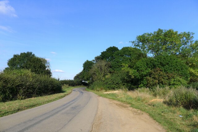
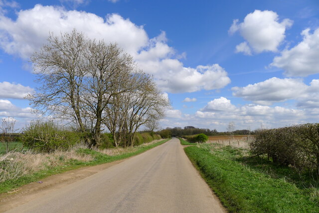
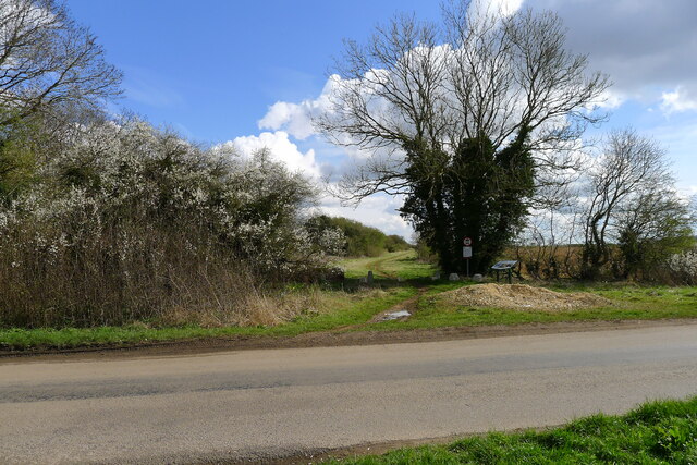
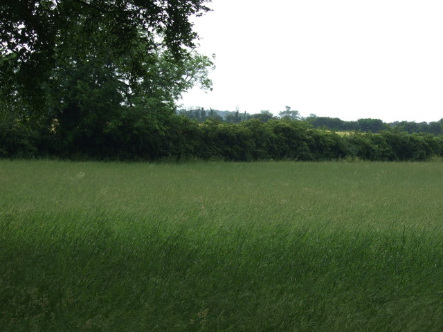
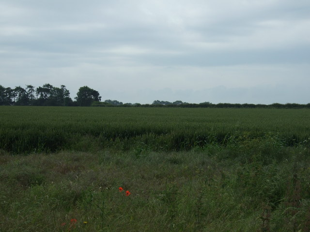
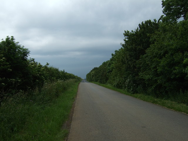
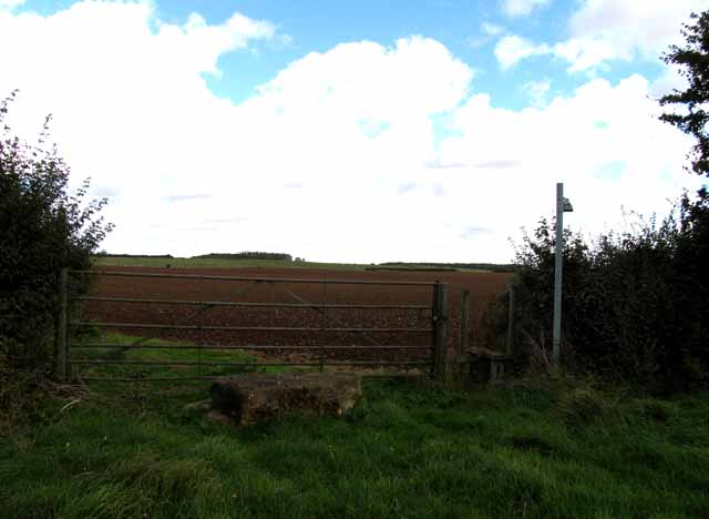
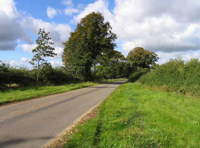
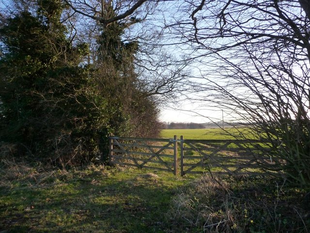
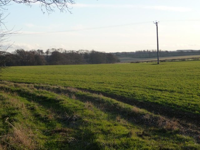
Angle Plantation is a picturesque woodland located in the county of Lincolnshire, England. Situated in the heart of the region, it covers an area of approximately 100 acres and is renowned for its natural beauty and diverse wildlife. The plantation is part of the larger Angle Wood, which spans over 500 acres.

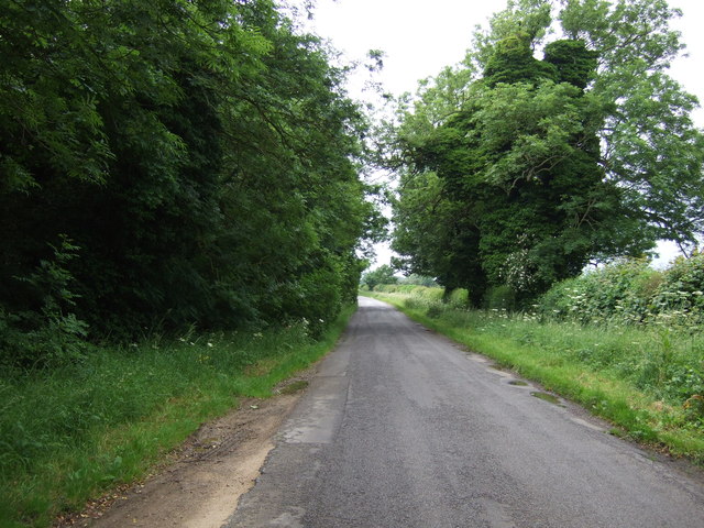
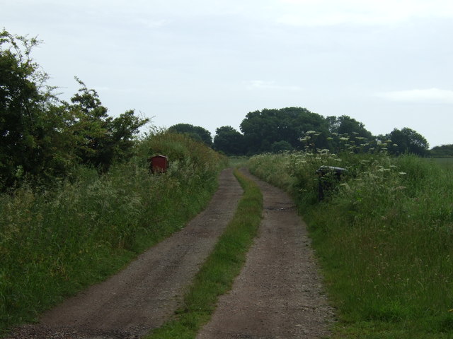
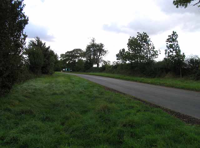
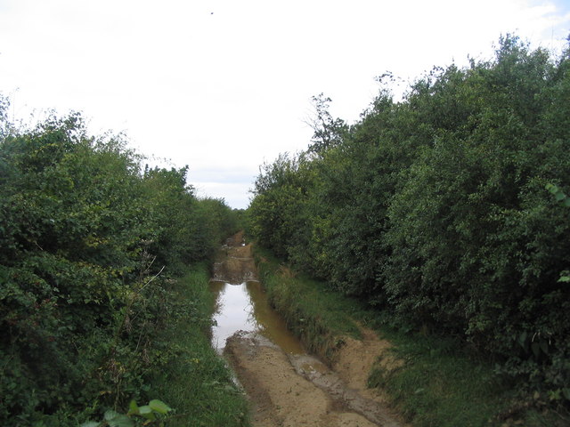
The woodland is predominantly composed of deciduous trees such as oak, ash, and beech, which form a dense canopy overhead, providing a cool and shaded environment. The forest floor is covered in a thick carpet of moss, ferns, and wildflowers, creating a vibrant and enchanting atmosphere. The plantation is crisscrossed by a network of well-maintained footpaths, allowing visitors to explore the area and discover its hidden treasures.

Angle Plantation is home to a wide variety of animal species, including deer, rabbits, squirrels, and numerous bird species. Birdwatchers flock to the area to catch a glimpse of the elusive woodpeckers, owls, and wood warblers that inhabit the woodland. The plantation is also a sanctuary for rare and endangered plants, such as the lady's slipper orchid, which attracts botany enthusiasts from far and wide.

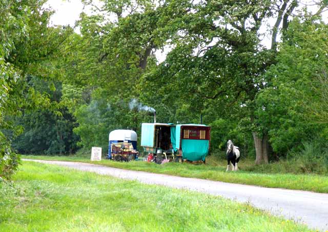
The woodland offers a peaceful and tranquil setting for outdoor activities such as walking, jogging, and picnicking. It is a popular destination for nature lovers and families seeking a respite from the hustle and bustle of city life. Angle Plantation provides a unique opportunity to immerse oneself in the beauty of nature and experience the serenity of the Lincolnshire countryside.

If you have any feedback on the listing, please let us know in the comments section below.

Angle Plantation Images

Images are sourced within 2km of 52.859144/-0.70495927 or Grid Reference SK8729. Thanks to Geograph Open Source API. All images are credited.

The Salt Way at Three Queens Three Queens is the name of the wood to the right of the road. It sits at the corner of the crossing of two ancient routes: the Salt Way (this road), and Sewstern Lane (crossing left to right at the start of the bend).
"The name Three Queens is said to refer to the burial barrows of three queens of the Bronze Age." <span class="nowrap"><a title="http://local-history.org.uk/waltham/pages/local-history/croxton-park-abbey/" rel="nofollow ugc noopener" href="http://local-history.org.uk/waltham/pages/local-history/croxton-park-abbey/">Link</a><img style="margin-left:2px;" alt="External link" title="External link - shift click to open in new window" src="https://s1.geograph.org.uk/img/external.png" width="10" height="10"/></span>. Several barrows have certainly been recorded here (Leicestershire historic environment record MLE3559 <span class="nowrap"><a title="https://www.heritagegateway.org.uk/Gateway/Results_Single.aspx?uid=MLE3559&resourceID=1021" rel="nofollow ugc noopener" href="https://www.heritagegateway.org.uk/Gateway/Results_Single.aspx?uid=MLE3559&resourceID=1021">Link</a><img style="margin-left:2px;" alt="External link" title="External link - shift click to open in new window" src="https://s1.geograph.org.uk/img/external.png" width="10" height="10"/></span> ), one containing the skeleton of a woman.
<span class="nowrap"><a title="https://www.bottesfordhistory.org.uk/content/about/read-it-hear-not-forgetting/not-forgetting-chapter-9-getting-about-in-the-past" rel="nofollow ugc noopener" href="https://www.bottesfordhistory.org.uk/content/about/read-it-hear-not-forgetting/not-forgetting-chapter-9-getting-about-in-the-past">Link</a><img style="margin-left:2px;" alt="External link" title="External link - shift click to open in new window" src="https://s1.geograph.org.uk/img/external.png" width="10" height="10"/></span> states "Here stood an 18th Century hostelry “of ill repute”, The Three Queens, frequented by cattle drovers and perhaps footpads. The inn eventually closed when the ancient trackways were replaced by newer roads, and there is nothing at the site now except a muddy track crossing a minor road."
The Salt Way at Three Queens
Three Queens is the name of the wood to the right of the road. It sits at the corner of the crossing of two ancient routes: the Salt Way (this road), and Sewstern Lane (crossing left to right at the start of the bend). "The name Three Queens is said to refer to the burial barrows of three queens of the Bronze Age." LinkExternal link. Several barrows have certainly been recorded here (Leicestershire historic environment record MLE3559 LinkExternal link ), one containing the skeleton of a woman. LinkExternal link states "Here stood an 18th Century hostelry “of ill repute”, The Three Queens, frequented by cattle drovers and perhaps footpads. The inn eventually closed when the ancient trackways were replaced by newer roads, and there is nothing at the site now except a muddy track crossing a minor road."
Hungerton Hall, Hungerton Built in 1782-85 for the Gregory de Ligne family of Harlaxton fame. Local limestone. The Tuscan porch is a later addition. Although Pevsner states that only one of the original flanking pavilions remains - formerly the brewhouse - there appear to be two here. Grade II listed.
Hungerton Hall, Hungerton
Built in 1782-85 for the Gregory de Ligne family of Harlaxton fame. Local limestone. The Tuscan porch is a later addition. Although Pevsner states that only one of the original flanking pavilions remains - formerly the brewhouse - there appear to be two here. Grade II listed.
Gorse Lane east of Croxton Kerrial Part of the Salt Way, and a former Roman road along the top of the Lincolnshire Limestone ridge south of Grantham.
The name 'Gorse Lane' seems to be applied by local residents and businesses to the whole stretch of this road, from its junctions with the A607 in the west to the B1174 in the east. On OS and Google maps the name only appears on the eastern-most section of the road.
Gorse Lane east of Croxton Kerrial
Part of the Salt Way, and a former Roman road along the top of the Lincolnshire Limestone ridge south of Grantham. The name 'Gorse Lane' seems to be applied by local residents and businesses to the whole stretch of this road, from its junctions with the A607 in the west to the B1174 in the east. On OS and Google maps the name only appears on the eastern-most section of the road.
Sewstern Lane crossing the Salt Way at Three Queens Three Queens is the name of the wood on the left. It sits at the corner of the crossing of two ancient routes: Sewstern Lane (crossing straight ahead) and the Salt Way (road). The area around the wood contains several Bronze Age burial mounds (barrows); and the name 'Three Queens' may derive from these - because when one of the mounds was excavated, it was found to contain the skeleton of a woman. <span class="nowrap"><a title="https://heritage-explorer.lincolnshire.gov.uk/Monument/MLI33941" rel="nofollow ugc noopener" href="https://heritage-explorer.lincolnshire.gov.uk/Monument/MLI33941">Link</a><img style="margin-left:2px;" alt="External link" title="External link - shift click to open in new window" src="https://s1.geograph.org.uk/img/external.png" width="10" height="10"/></span>
<span class="nowrap"><a title="https://www.bottesfordhistory.org.uk/content/about/read-it-hear-not-forgetting/not-forgetting-chapter-9-getting-about-in-the-past" rel="nofollow ugc noopener" href="https://www.bottesfordhistory.org.uk/content/about/read-it-hear-not-forgetting/not-forgetting-chapter-9-getting-about-in-the-past">Link</a><img style="margin-left:2px;" alt="External link" title="External link - shift click to open in new window" src="https://s1.geograph.org.uk/img/external.png" width="10" height="10"/></span> states "Here stood an 18th Century hostelry "of ill repute", The Three Queens, frequented by cattle drovers and perhaps footpads. The inn eventually closed when the ancient trackways were replaced by newer roads, and there is nothing at the site now except a muddy track crossing a minor road."
Sewstern Lane crossing the Salt Way at Three Queens
Three Queens is the name of the wood on the left. It sits at the corner of the crossing of two ancient routes: Sewstern Lane (crossing straight ahead) and the Salt Way (road). The area around the wood contains several Bronze Age burial mounds (barrows); and the name 'Three Queens' may derive from these - because when one of the mounds was excavated, it was found to contain the skeleton of a woman. LinkExternal link LinkExternal link states "Here stood an 18th Century hostelry "of ill repute", The Three Queens, frequented by cattle drovers and perhaps footpads. The inn eventually closed when the ancient trackways were replaced by newer roads, and there is nothing at the site now except a muddy track crossing a minor road."
Farmland near Three Queens
Lane towards Croxton Kerrial
Track towards Tipping's Lodge
Farmland, Tipping's Lodge
Lane towards Croxton Kerrial
St Catherine's church. Wyville Grade II listed.
The church was built at the expense of George Gregory of Harlaxton in 1857, and the chancel in 1868. Also has a western bellcote, north porch and vestry.Plain interior.
St Catherine's church. Wyville
Grade II listed. The church was built at the expense of George Gregory of Harlaxton in 1857, and the chancel in 1868. Also has a western bellcote, north porch and vestry.Plain interior.
Interior, St Catherine's church, Wyville See <a href="https://www.geograph.org.uk/photo/3108732">SK8829 : St Catherine's church. Wyville</a>
Interior, St Catherine's church, Wyville
Footpath to Great Ponton
Heath Lane towards Hungarton
Knives sharpened It is interesting to note that the trees beyond the caravans are named "Gypsy Plantation".
Knives sharpened
It is interesting to note that the trees beyond the caravans are named "Gypsy Plantation".
Towards Great Ponton
Blocked gateway A chunk of ironstone to discourage entry to the field!
Blocked gateway
A chunk of ironstone to discourage entry to the field!
Field gates at the side of Gypsy Plantation On the south side of Heath Lane.
Field gates at the side of Gypsy Plantation
On the south side of Heath Lane.
Farmland west of Gypsy Plantation On the south side of Heath Lane.
Farmland west of Gypsy Plantation
On the south side of Heath Lane.
Show me another place!

Angle Plantation is located at Grid Ref: SK8729 (Lat: 52.859144, Lng: -0.70495927)

Administrative County: Lincolnshire

District: South Kesteven

Police Authority: Lincolnshire

What 3 Words

///later.trending.whiplash. Near Barrowby, Lincolnshire

Related Wikis

Ponton Heath Barrow Cemetery

The Ponton Heath Barrow Cemetery is a group of at least eleven Middle Bronze Age round barrows south of Grantham, in the South Kesteven district of Lincolnshire...

King Lud's Entrenchments and The Drift

King Lud's Entrenchments and The Drift is a 23.9 hectares (59 acres) biological Site of Special Scientific Interest which straddles the border between...

Denton, Lincolnshire

Denton is a village and civil parish in the South Kesteven district of Lincolnshire, England. The population of the civil parish was 273 at the 2011 census...

St Mary and St Peter's Church, Harlaxton

St Mary and St Peter's Church is a Grade I listed Church of England parish church dedicated to Saint Mary and Saint Peter in Harlaxton, Lincolnshire, England...

Harlaxton

Harlaxton is a village and civil parish in the South Kesteven district of Lincolnshire, England. It lies on the edge of the Vale of Belvoir and just off...
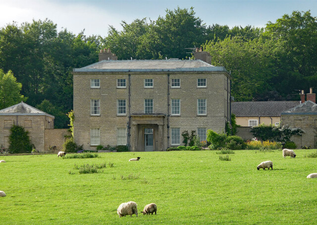
Harlaxton Manor

Harlaxton Manor is a Victorian country house in Harlaxton, Lincolnshire, England. It was built for Gregory Gregory, a local squire and businessman. Gregory...

RAF Saltby

Royal Air Force Saltby or more simply RAF Saltby is a former Royal Air Force station located near Saltby, Leicestershire, England The following units were...

Buckminster Gliding Club

The Buckminster Gliding Club (BGC) is a gliding club based at Saltby Airfield on the Leicestershire / Lincolnshire border, England. It is affiliated with...

Nearby Amenities

Located within 500m of 52.859144,-0.70495927
Hungerton
Is In: Lincolnshire, England, UK
Place: hamlet
Source: NPE
Lat/Long: 52.860897/-0.6981138
Rookery Farm
Place: farm
Source: Bing
Lat/Long: 52.8621358/-0.7063107
Building: yes
Lat/Long: 52.8624552/-0.701941
The data included in this document is from www.openstreetmap.org. The data is made available under ODbL.

Have you been to Angle Plantation?

Leave your review of Angle Plantation below (or comments, questions and feedback).