Church Hanger

Wood, Forest in Sussex Chichester

England

Church Hanger

Pylon near the bridleway on the south side of Iron Hill
Pylon near the bridleway on the south side of Iron Hill Credit: Ian Cunliffe

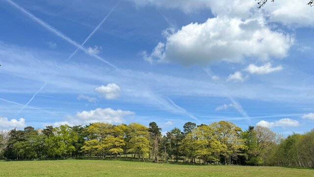
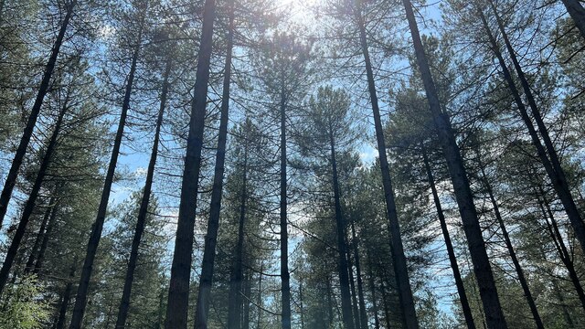
Church Hanger, Sussex is a picturesque woodland area located in the southern part of England. Nestled within the enchanting South Downs National Park, this serene forest is a haven for nature enthusiasts and outdoor adventurers alike.

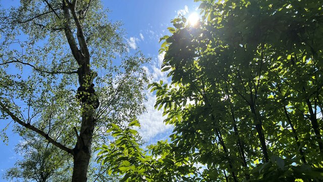
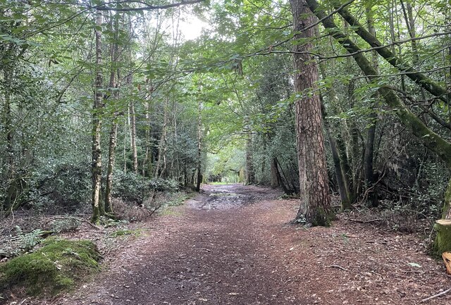
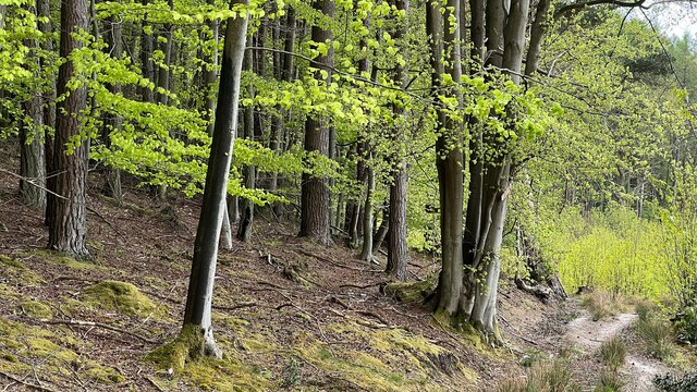
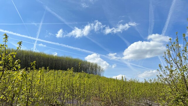
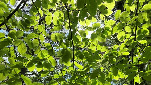
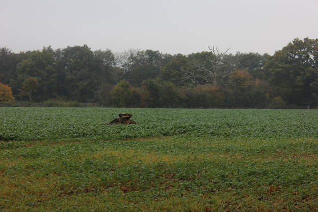
The woodland of Church Hanger is known for its dense and ancient trees, predominantly consisting of oak, beech, and ash species. With its lush green foliage and vibrant wildlife, it provides a tranquil escape from the bustling city life. The forest floor is adorned with an array of wildflowers such as bluebells, primroses, and wood anemones, creating a vibrant and colorful landscape during the springtime.

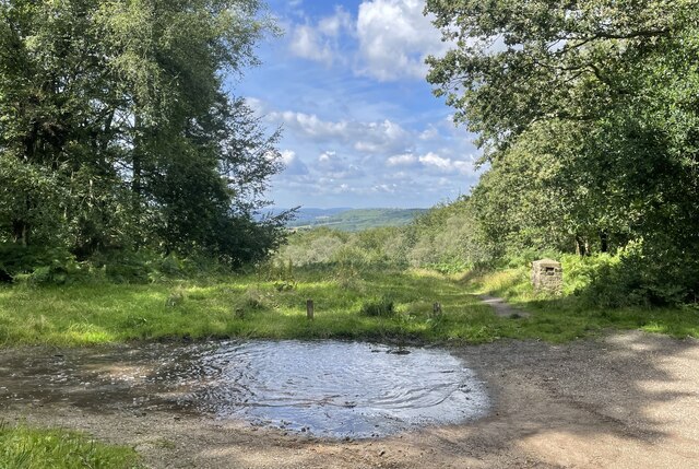
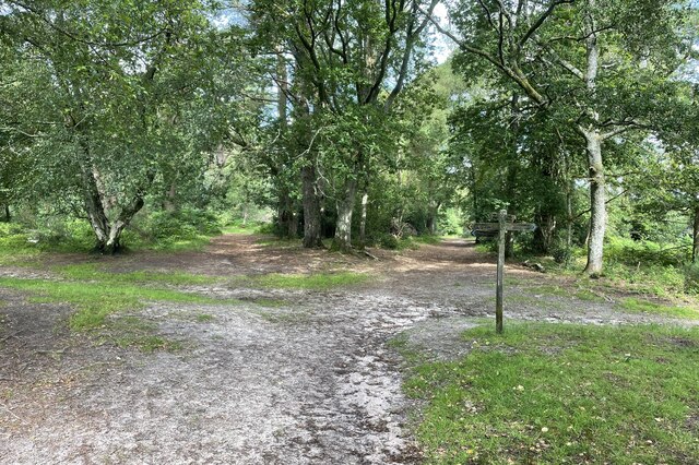
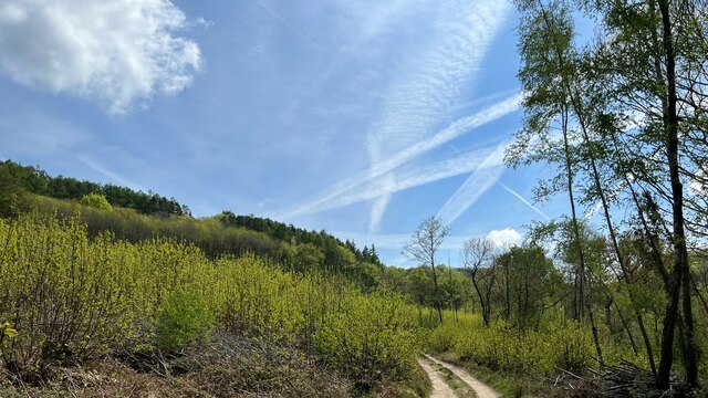
Several walking trails wind their way through Church Hanger, offering visitors the opportunity to explore its diverse terrain. These paths cater to different levels of difficulty and provide stunning panoramic views of the surrounding countryside. Along the way, walkers may encounter various wildlife species, including deer, foxes, and a variety of bird species.

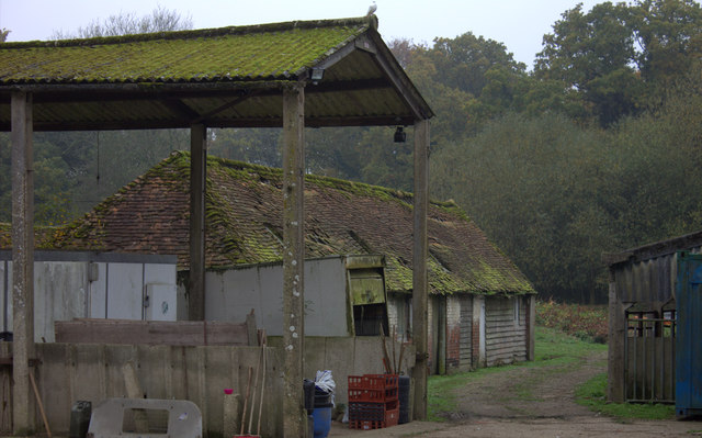
The area surrounding Church Hanger also holds historical significance, with remnants of ancient settlements and burial sites dating back to the Bronze Age. Archaeological excavations have revealed artifacts and evidence of early human activity, further adding to the allure of this woodland.

Overall, Church Hanger, Sussex is a natural gem that showcases the beauty and tranquility of the English countryside. It is a place where visitors can embrace the splendor of nature, immerse themselves in its rich history, and find solace in its peaceful atmosphere.

If you have any feedback on the listing, please let us know in the comments section below.

Church Hanger Images

Images are sourced within 2km of 51.069606/-0.75547027 or Grid Reference SU8730. Thanks to Geograph Open Source API. All images are credited.

Pylon near the bridleway on the south side of Iron Hill
Trees and sunlight - NE of Hillands Plantations
Conifers on the SW side of Green Hill Ferns seemed to be the dominant species on the ground in many parts of Greenhill Wood - not just under the conifers.
Conifers on the SW side of Green Hill
Ferns seemed to be the dominant species on the ground in many parts of Greenhill Wood - not just under the conifers.
Field at Marley Heights A field at Marley Heights viewed from the passing bridleway.
Field at Marley Heights
A field at Marley Heights viewed from the passing bridleway.
Gap with a view A small parking area at Marley Heights with far reaching views towards the distant South Downs.
Gap with a view
A small parking area at Marley Heights with far reaching views towards the distant South Downs.
Five Ways A track junction on Marley Common. The signpost marks several public rights of way, including the Serpent Trail and the Sussex Border Path.
Five Ways
A track junction on Marley Common. The signpost marks several public rights of way, including the Serpent Trail and the Sussex Border Path.
Track on Marley Common The track at this point is shared by the Serpent Trail and the Sussex Border Path.
Track on Marley Common
The track at this point is shared by the Serpent Trail and the Sussex Border Path.
Woodland NW of Marley Heights
Solitary tree and vapour trails The sky was crisscrossed with multiple vapour trails. I can only assume that the sky is busy hereabouts on account of the relative proximity of Gatwick and Heathrow.
Solitary tree and vapour trails
The sky was crisscrossed with multiple vapour trails. I can only assume that the sky is busy hereabouts on account of the relative proximity of Gatwick and Heathrow.
Footpath heading SSE All the photos I took today had these crisscrossing vapour trails.
Footpath heading SSE
All the photos I took today had these crisscrossing vapour trails.
Trees on a woodland ridge - and vapour trails The sky was full of these vapour trails. Of all the photos I took today, this one probably shows the greatest number of trails.
Trees on a woodland ridge - and vapour trails
The sky was full of these vapour trails. Of all the photos I took today, this one probably shows the greatest number of trails.
Line of trees east of Linchmere village I noticed that Linchmere was spelt "Lynchmere" on the road sign to the south of the village. It's "Linchmere" on all the maps.
Line of trees east of Linchmere village
I noticed that Linchmere was spelt "Lynchmere" on the road sign to the south of the village. It's "Linchmere" on all the maps.
Linchmere House This house is almost opposite the church - on the east side of the lane through Linchmere.
Linchmere House
This house is almost opposite the church - on the east side of the lane through Linchmere.
Leaves and sunlight - Stanley Common
Conifers near Iron Hill
Bordering on the ridiculous (3) Coming from Surrey into West Sussex, just past The Mill pub
Bordering on the ridiculous (3)
Coming from Surrey into West Sussex, just past The Mill pub
Tree stump in the field The field opposite Lower Lodge Farm near to the Linchmere Road turn off.
Tree stump in the field
The field opposite Lower Lodge Farm near to the Linchmere Road turn off.
Farm buildings near Shulbrede priory Somewhat dilapidated
Farm buildings near Shulbrede priory
Somewhat dilapidated
Show me another place!

Church Hanger is located at Grid Ref: SU8730 (Lat: 51.069606, Lng: -0.75547027)

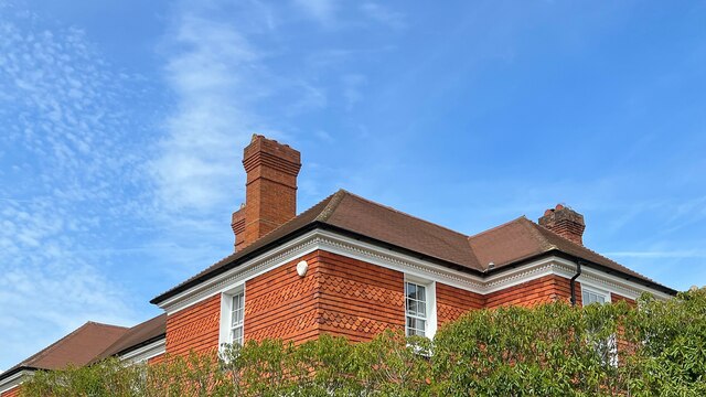
Administrative County: West Sussex

District: Chichester

Police Authority: Sussex

What 3 Words

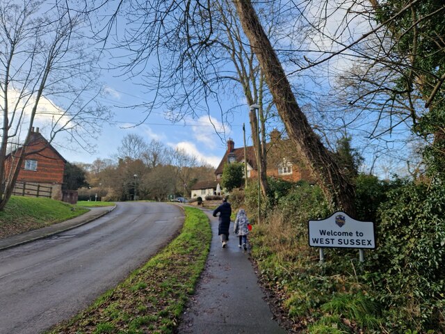
///overlaps.diplomat.viewing. Near Fernhurst, West Sussex

Related Wikis

Linchmere

Linchmere, also spelled Lynchmere, is a village and a civil parish, the northernmost parish in the Chichester district of West Sussex, England. It is...

Lynchmere Commons

Lynchmere Commons is a 122-hectare (300-acre) Local Nature Reserve in Lynchmere in West Sussex. It is owned and managed by the Lynchmere Society.This...
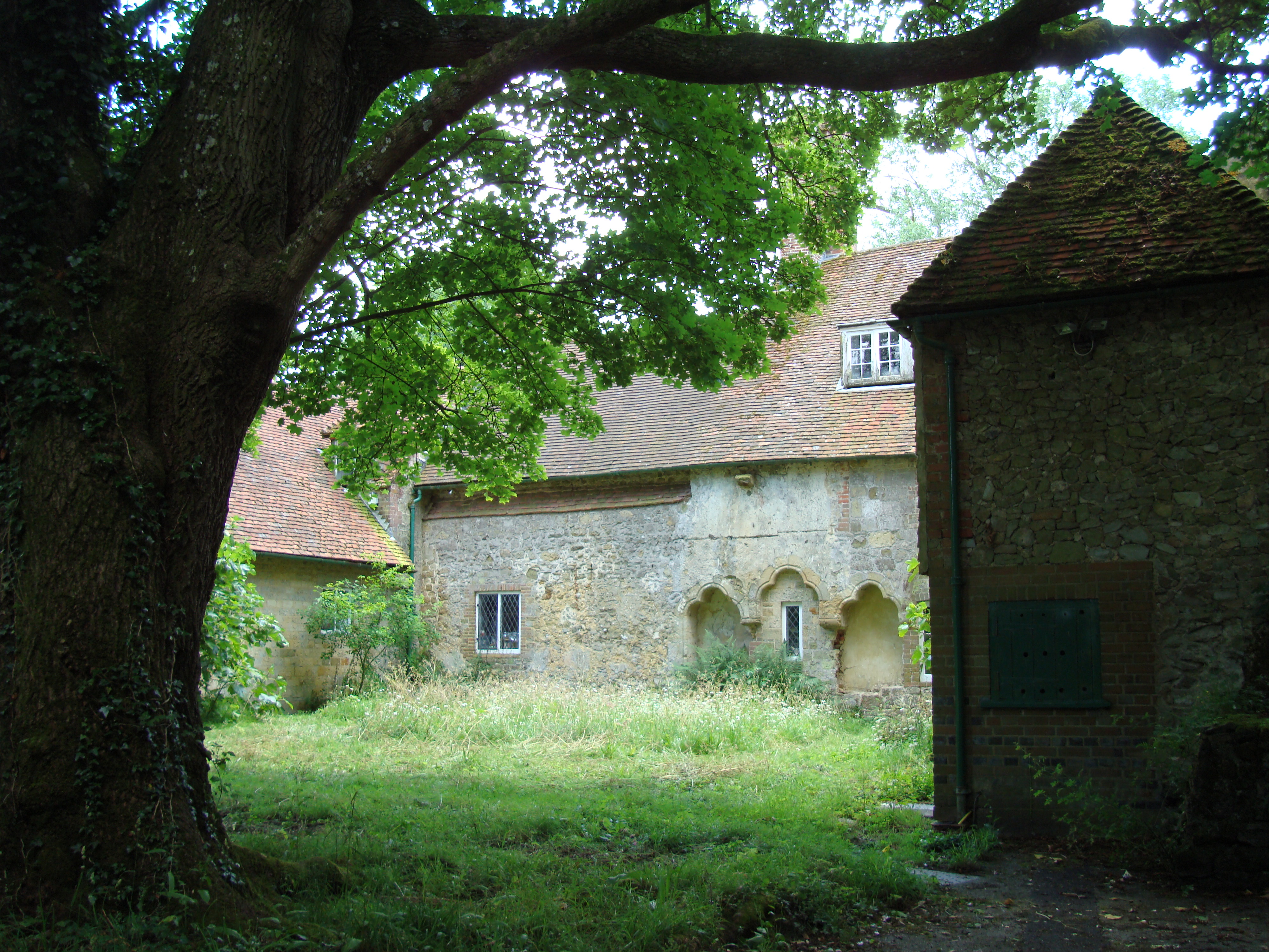
Shulbrede Priory

Shulbrede Priory is a former medieval monastic house in West Sussex, England; it became the home of the Ponsonby family, including the first Lord Ponsonby...

Hammer Bottom

Hammer Bottom or Hammer Vale is a hamlet in the civil parish of Bramshott and Liphook, in the East Hampshire district in the county of Hampshire, England...

Western Weald

The western Weald is an area of undulating countryside in Hampshire and West Sussex containing a mixture of woodland and heathland areas. It lies to the...

Hollycombe Steam Collection

The Hollycombe Steam Collection is a collection of steam-powered vehicles, amusement rides, and attractions in South East England. It is based in West...

Woolmer Hill

Woolmer Hill is an area of high ground in the south-west corner of Surrey, England in the Borough of Waverley abutting Hampshire to the west and West Sussex...

Woolmer Hill School

Woolmer Hill School, formerly Woolmer Hill Technology College, is the main secondary school in the area of Haslemere, Surrey. == Funding == A non-fee paying...

Nearby Amenities

Located within 500m of 51.069606,-0.75547027
Lynchmere
Alt Name: Linchmere
Place: village
Lat/Long: 51.0718208/-0.7599941
Barrier: kissing_gate
Lat/Long: 51.072627/-0.7584931
Post Box
Post Box Type: wall
Ref: GU27 26
Royal Cypher: EIIR
Royal Cypher Wikidata: Q33102113
Lat/Long: 51.0715532/-0.7605645
Barrier: kissing_gate
Lat/Long: 51.0714217/-0.7511378
The data included in this document is from www.openstreetmap.org. The data is made available under ODbL.

Have you been to Church Hanger?

Leave your review of Church Hanger below (or comments, questions and feedback).