Overbrook Spinney

Wood, Forest in Buckinghamshire

England

Overbrook Spinney

A509 Wellingborough Road, Olney Heading north out of town.
A509 Wellingborough Road, Olney Credit: Robin Webster

Overbrook Spinney is a charming woodland located in the county of Buckinghamshire, England. Covering an area of approximately 30 acres, this picturesque spinney is nestled within the larger Overbrook Farm estate. It is renowned for its lush greenery and tranquil atmosphere, making it a popular destination for nature lovers and outdoor enthusiasts.

The spinney is predominantly composed of a diverse range of deciduous trees such as oak, beech, and birch, which create a vibrant and colorful canopy during the autumn months. The forest floor is adorned with an array of wildflowers, ferns, and mosses, enhancing the enchanting ambiance of the area.

Several well-maintained footpaths wind their way through the spinney, allowing visitors to explore its natural beauty at their own pace. These paths lead to hidden clearings, providing perfect spots for picnics or simply enjoying the serenity of the woodland.

Overbrook Spinney is home to a rich variety of wildlife, including numerous bird species, small mammals, and insects. Birdwatchers can spot woodpeckers, tits, and finches, while lucky observers may catch a glimpse of roe deer or foxes darting through the undergrowth.

The spinney is open to the public year-round, and visitors are encouraged to respect the natural environment by adhering to the designated pathways and leaving no trace of their visit. Whether seeking a peaceful retreat or an opportunity to immerse oneself in the wonders of nature, Overbrook Spinney offers a truly rejuvenating experience in the heart of Buckinghamshire's countryside.

If you have any feedback on the listing, please let us know in the comments section below.

Overbrook Spinney Images

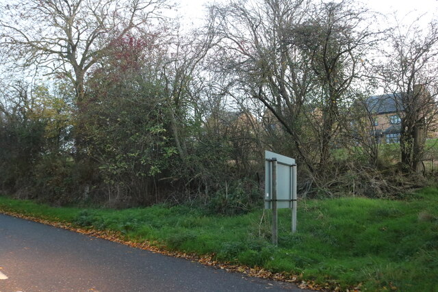
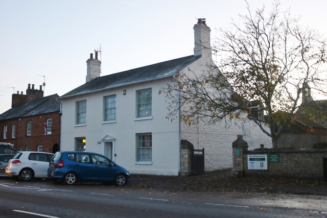
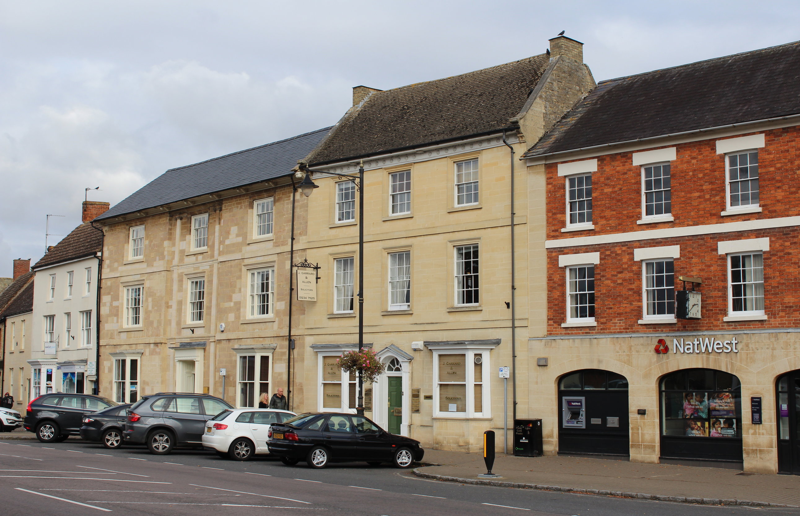
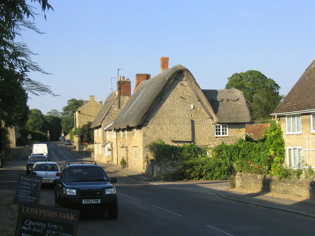
Images are sourced within 2km of 52.151684/-0.72592067 or Grid Reference SP8751. Thanks to Geograph Open Source API. All images are credited.

A509 Wellingborough Road, Olney Heading north out of town.
A509 Wellingborough Road, Olney
Heading north out of town.
A509 at start of Ouse bridging into Olney There is a lengthy bridging of flood channels, the main river and a mill stream before reaching the town.
A509 at start of Ouse bridging into Olney
There is a lengthy bridging of flood channels, the main river and a mill stream before reaching the town.
Shops, High Street South, Olney The town was extraordinarily busy on this first Sunday in December. There is a farmer's market on the first Sunday of every month, there may have been something special about this last one before Christmas.
Shops, High Street South, Olney
The town was extraordinarily busy on this first Sunday in December. There is a farmer's market on the first Sunday of every month, there may have been something special about this last one before Christmas.
Savvi Travel,  High Street, Olney
Savvi Travel, High Street, Olney
The Swan Inn and Bistro, Olney
The Church of St Peter and St Paul, Olney
Yardley Road at the end of Winterbottom Way The estate on the left was a field until fairly recently.
Yardley Road at the end of Winterbottom Way
The estate on the left was a field until fairly recently.
Industrial unit on Yardley Road, Olney
Flats on Yardley Road, Olney
House on Swallow Close, Olney At the corner of Yardley Road.
House on Swallow Close, Olney
At the corner of Yardley Road.
Moores Hill, Olney
Moores Hill, Olney
High Street Olney At the corner of Yardley Road.
High Street Olney
At the corner of Yardley Road.
Yardley Road, Olney There were open fields where the houses are only a few years earlier.
Yardley Road, Olney
There were open fields where the houses are only a few years earlier.
Old house on High Street, Olney
High Street Olney
High Street Olney
The Bull Hotel, Olney
Footpath to Bridge Street, Olney
Cowper Memorial United Reformed Church Designed by John Sulman <span class="nowrap"><a title="https://en.wikipedia.org/wiki/John_Sulman" rel="nofollow ugc noopener" href="https://en.wikipedia.org/wiki/John_Sulman">Link</a><img style="margin-left:2px;" alt="External link" title="External link - shift click to open in new window" src="https://s1.geograph.org.uk/img/external.png" width="10" height="10"/></span> 1879-80.
Cowper Memorial United Reformed Church
Designed by John Sulman LinkExternal link 1879-80.
Show me another place!

Overbrook Spinney is located at Grid Ref: SP8751 (Lat: 52.151684, Lng: -0.72592067)

Unitary Authority: Milton Keynes

Police Authority: Thames Valley

What 3 Words

///disputes.speaks.forge. Near Weston Underwood, Buckinghamshire

Nearby Locations

Overbrook Spinney

Related Wikis

Battle of Olney Bridge

The Battle of Olney Bridge was a skirmish that occurred on 4 November 1643 during the First English Civil War just outside the town of Olney, Buckinghamshire...

Olney, Buckinghamshire

Olney (, rarely OW-nee, rarely OLL-nee) is a market town and civil parish in the unitary authority area of the City of Milton Keynes, Buckinghamshire...

Cowper and Newton Museum

The Cowper and Newton Museum is a museum in Olney, north Buckinghamshire, England, around 8 miles (13 km) north-east of Central Milton Keynes. Celebrating...

Weston Underwood, Buckinghamshire

Weston Underwood is a village and civil parish in the unitary authority area of the City of Milton Keynes, Buckinghamshire, England. It is located about...

Nearby Amenities

Located within 500m of 52.151684,-0.72592067
Power: pole
Lat/Long: 52.1516621/-0.7223439
Power: pole
Lat/Long: 52.152248/-0.7227328
Power: pole
Lat/Long: 52.1534724/-0.7235536
Power: pole
Lat/Long: 52.1540977/-0.7239801
Power: pole
Lat/Long: 52.1550127/-0.724597
Power: pole
Lat/Long: 52.1558701/-0.725171
Power: pole
Lat/Long: 52.1514144/-0.720292
Power: pole
Lat/Long: 52.1511692/-0.7220221
Power: pole
Lat/Long: 52.1509059/-0.723854
Power: pole
Lat/Long: 52.150506/-0.7241437
Power: pole
Lat/Long: 52.1500682/-0.7250047
Power: pole
Lat/Long: 52.1496271/-0.7259461
Power: pole
Lat/Long: 52.1489013/-0.7275125
Power: pole
Lat/Long: 52.1481903/-0.7290709
Barrier: kissing_gate
Foot: yes
Lat/Long: 52.1530453/-0.7190039
Man Made: water_well
Lat/Long: 52.1480402/-0.7257512
Man Made: water_well
Lat/Long: 52.1483409/-0.7252747
Man Made: water_well
Lat/Long: 52.1477418/-0.7262564
Direction: 260
Generator Method: photovoltaic
Generator Output Electricity: yes
Generator Solar Modules: 8
Generator Source: solar
Generator Type: solar_photovoltaic_panel
Location: roof
Power: generator
Lat/Long: 52.1492202/-0.7306321
Direction: 80
Generator Method: photovoltaic
Generator Output Electricity: yes
Generator Solar Modules: 8
Generator Source: solar
Generator Type: solar_photovoltaic_panel
Location: roof
Power: generator
Lat/Long: 52.1492243/-0.7305821
Direction: 170
Fixme: survey for panel count
Generator Method: photovoltaic
Generator Output Electricity: yes
Generator Solar Modules: 11
Generator Source: solar
Generator Type: solar_photovoltaic_panel
Location: roof
Power: generator
Lat/Long: 52.1492283/-0.73031
The data included in this document is from www.openstreetmap.org. The data is made available under ODbL.

Have you been to Overbrook Spinney?

Leave your review of Overbrook Spinney below (or comments, questions and feedback).