Figure Eight Plantation
Wood, Forest in Lincolnshire South Kesteven
England
Figure Eight Plantation
Figure Eight Plantation is a woodland area located in Lincolnshire, England. Situated within the vast forest landscape of the county, this plantation covers a significant area of approximately [insert specific area]. The name "Figure Eight" is derived from the unique shape of the plantation, which resembles the number eight when viewed from above.
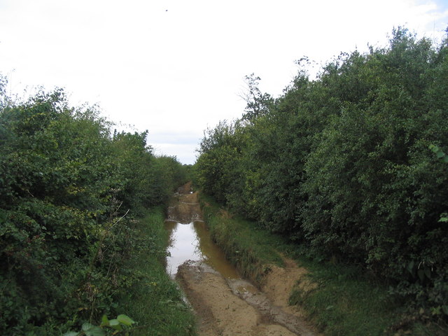
The plantation is characterized by its dense and diverse vegetation, comprising a mixture of deciduous and coniferous trees. These include oak, beech, pine, and spruce, among others. This varied flora creates a rich and vibrant habitat for a wide range of wildlife, making it a popular destination for nature enthusiasts and conservationists.
The plantation also features several well-maintained walking trails that wind through the woodland, allowing visitors to explore its beauty and tranquility. These paths provide opportunities for recreational activities such as hiking, jogging, and birdwatching. The plantation is also equipped with picnic areas and benches, providing a perfect setting for a peaceful outdoor meal surrounded by nature.
In addition to its natural beauty, Figure Eight Plantation has a historical significance. It was originally established in the [insert specific year] as a timber resource for the local community. Over the years, it has been managed sustainably, with selective tree harvesting to maintain the health and balance of the woodland ecosystem.
Overall, Figure Eight Plantation in Lincolnshire offers a serene escape into nature, boasting a diverse range of plant and animal species, as well as recreational opportunities for visitors to enjoy.
If you have any feedback on the listing, please let us know in the comments section below.
Figure Eight Plantation Images
Images are sourced within 2km of 52.85519/-0.70587897 or Grid Reference SK8729. Thanks to Geograph Open Source API. All images are credited.
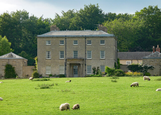
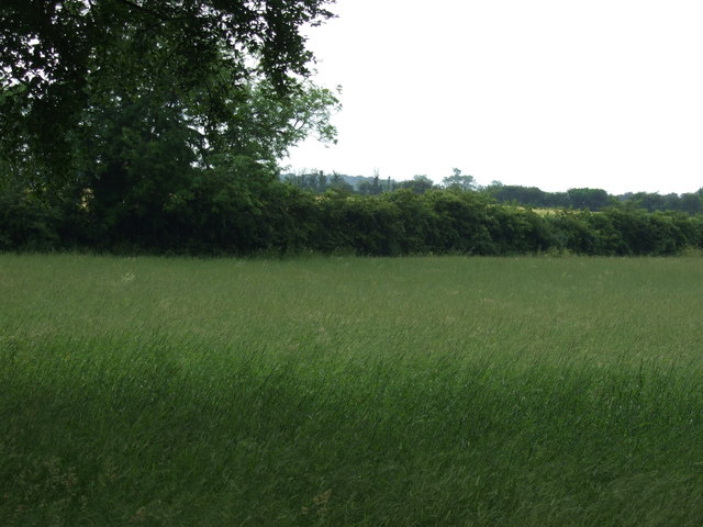
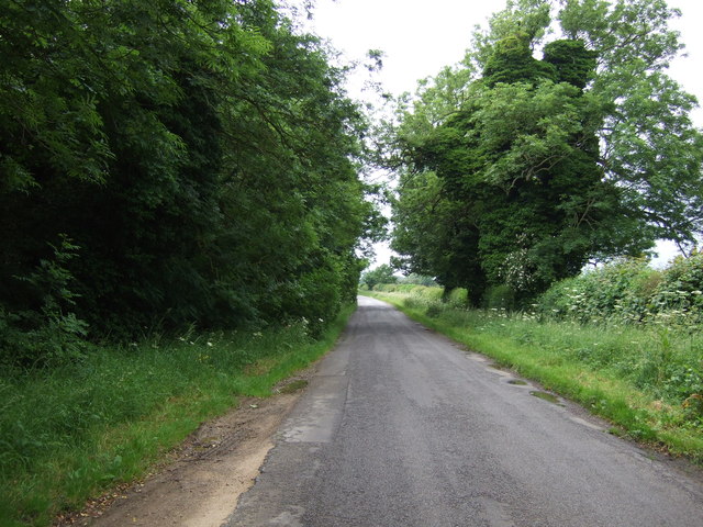
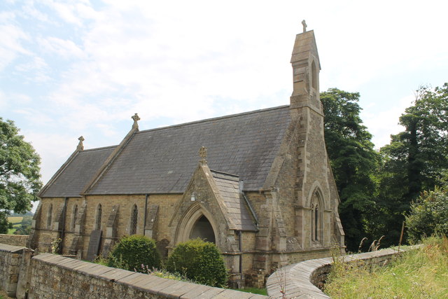
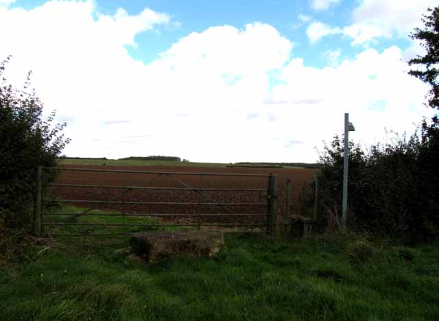
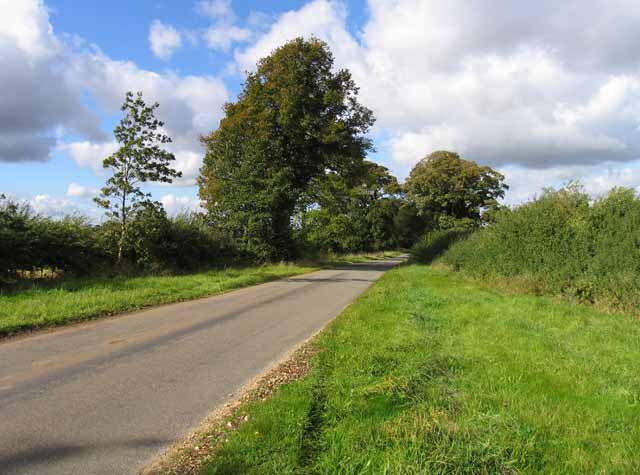
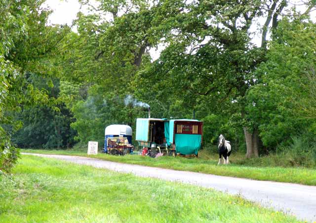
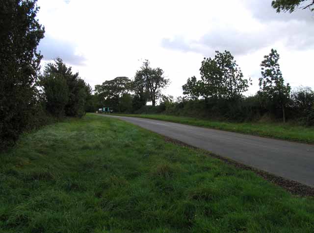
Figure Eight Plantation is located at Grid Ref: SK8729 (Lat: 52.85519, Lng: -0.70587897)
Administrative County: Lincolnshire
District: South Kesteven
Police Authority: Lincolnshire
What 3 Words
///remainder.snooze.magnetic. Near Barrowby, Lincolnshire
Nearby Locations
Related Wikis
King Lud's Entrenchments and The Drift
King Lud's Entrenchments and The Drift is a 23.9 hectares (59 acres) biological Site of Special Scientific Interest which straddles the border between...

Ponton Heath Barrow Cemetery
The Ponton Heath Barrow Cemetery is a group of at least eleven Middle Bronze Age round barrows south of Grantham, in the South Kesteven district of Lincolnshire...
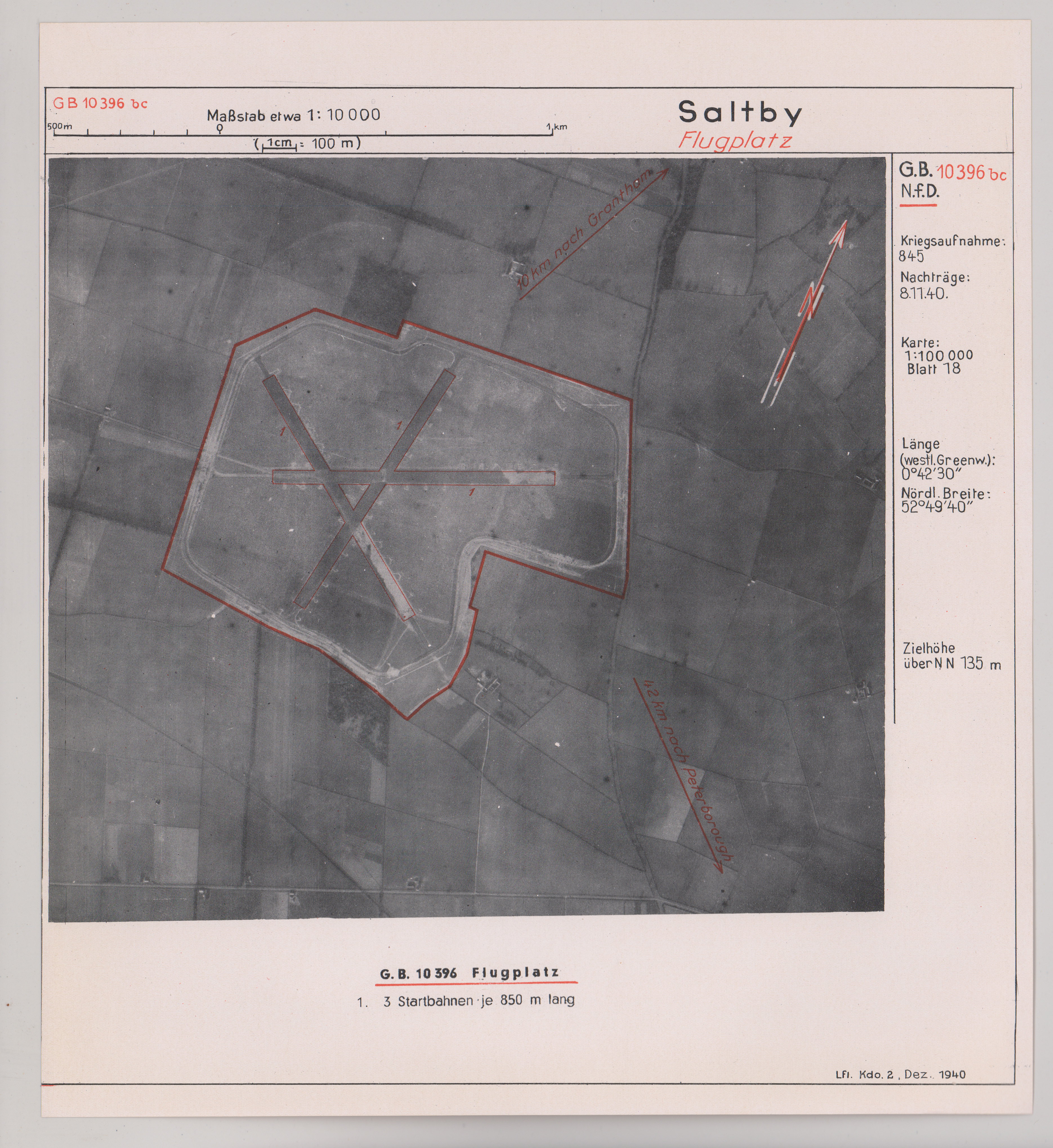
RAF Saltby
Royal Air Force Saltby or more simply RAF Saltby is a former Royal Air Force station located near Saltby, Leicestershire, England. It is now home to Buckminster...

Denton, Lincolnshire
Denton is a village and civil parish in the South Kesteven district of Lincolnshire, England. The population of the civil parish was 273 at the 2011 census...
Have you been to Figure Eight Plantation?
Leave your review of Figure Eight Plantation below (or comments, questions and feedback).