Wyville cum Hungerton
Civil Parish in Lincolnshire South Kesteven
England
Wyville cum Hungerton
Wyville cum Hungerton is a civil parish located in the county of Lincolnshire, England. It is situated in the South Kesteven district, approximately 3 miles northwest of the town of Grantham. The parish encompasses the two small villages of Wyville and Hungerton, which are separated by the A607 road.
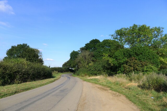
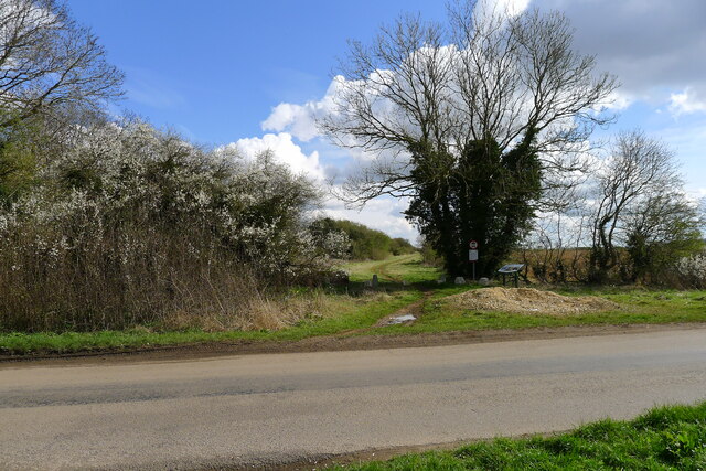
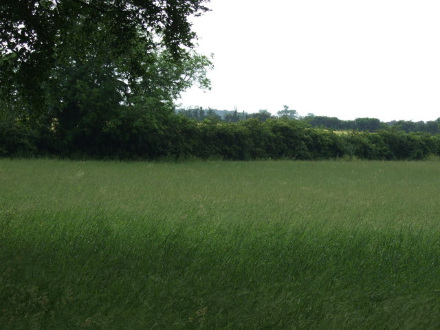
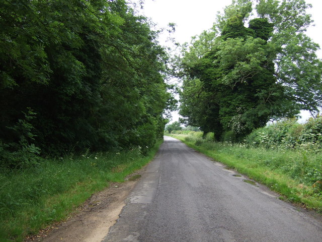
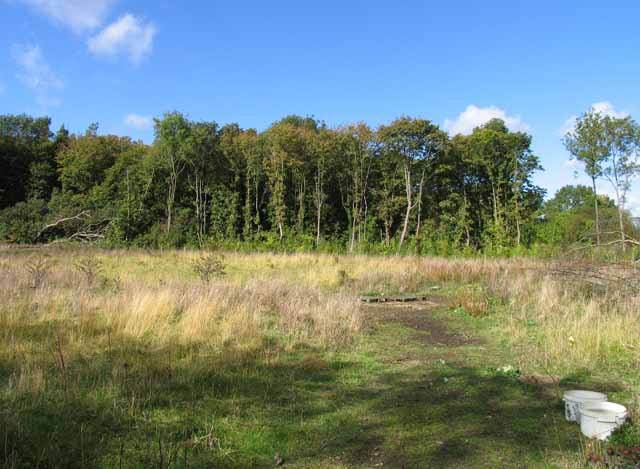
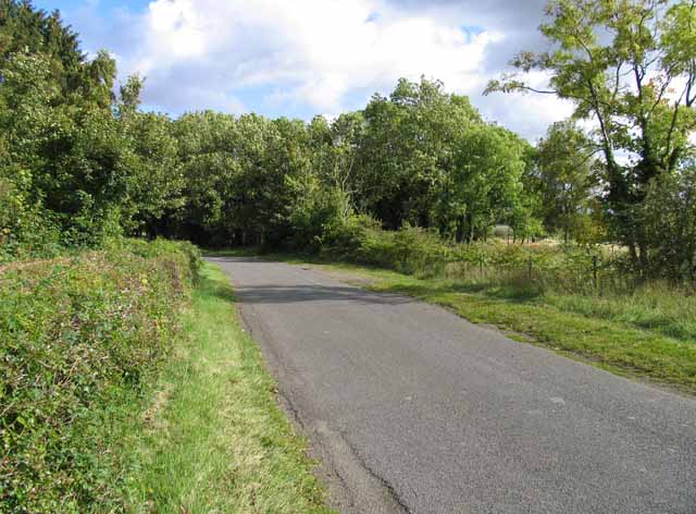
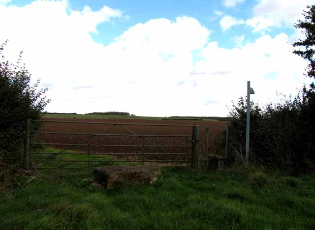
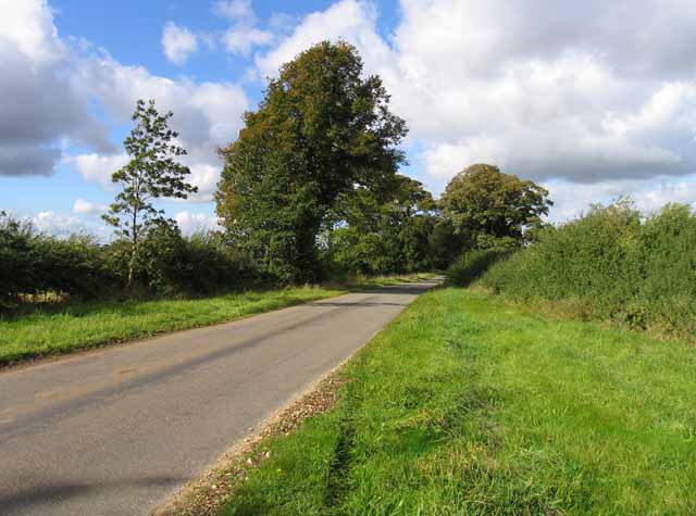
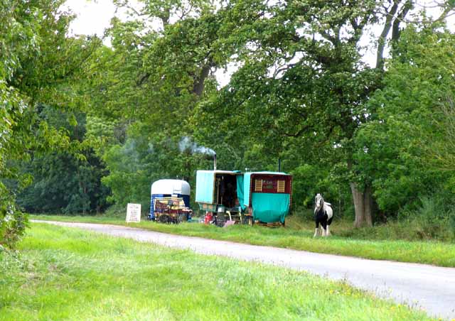
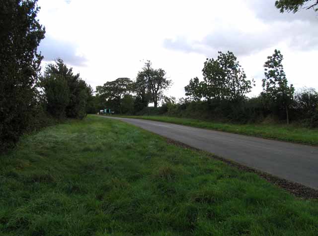
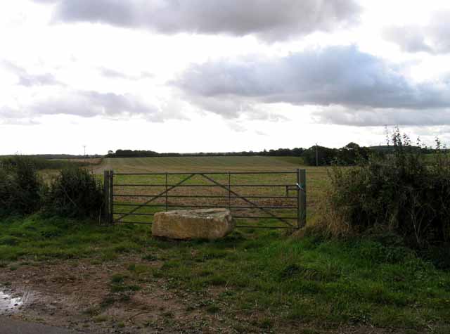
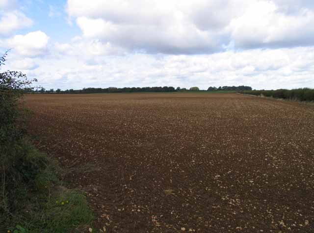
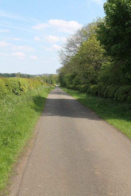
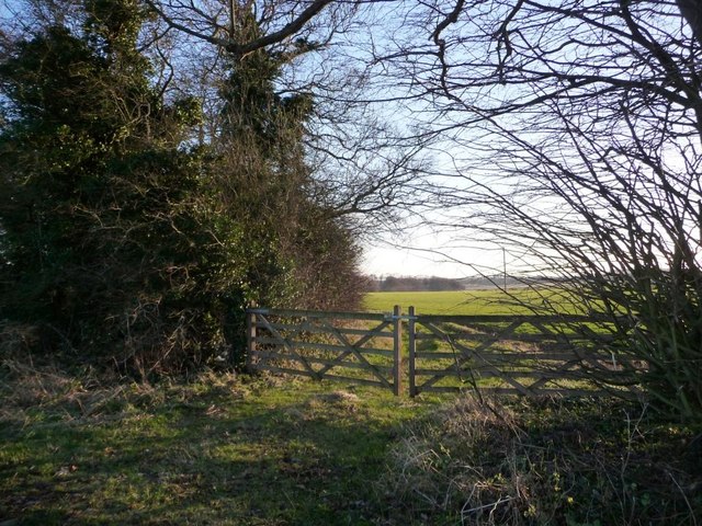
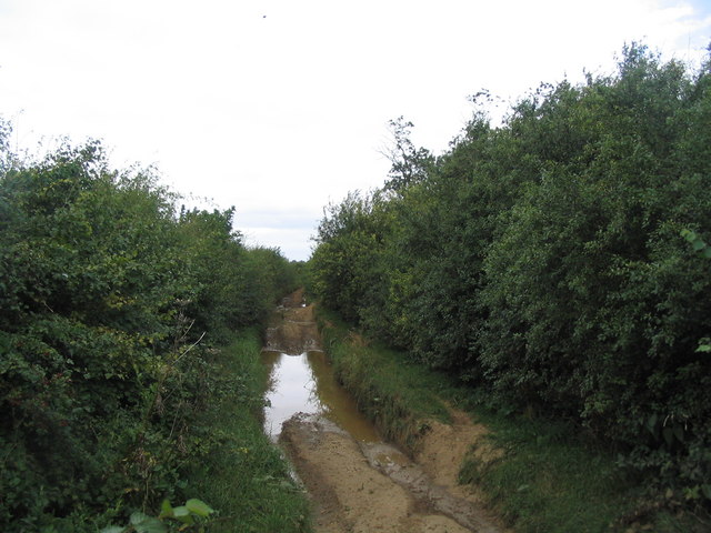
Wyville cum Hungerton is a predominantly rural area, characterized by its picturesque countryside and rolling hills. The landscape is predominantly agricultural, with fields of crops and grazing livestock dotting the countryside. The parish is surrounded by several other small villages and hamlets, contributing to its close-knit and community-oriented atmosphere.
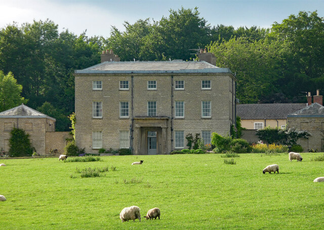
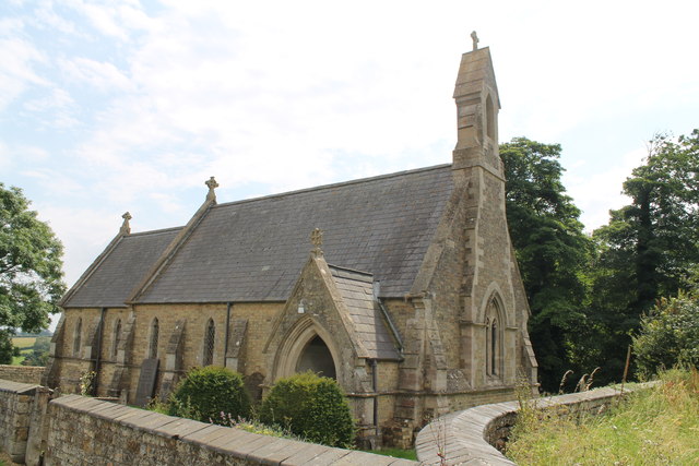
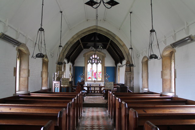
The villages themselves consist of a mix of traditional stone cottages, farmhouses, and more modern housing. The parish church, St. Nicholas, is located in Wyville and dates back to the 12th century, showcasing historical and architectural significance.
Residents of Wyville cum Hungerton benefit from a peaceful and tranquil setting, away from the hustle and bustle of larger towns and cities. While amenities are limited within the parish, the nearby town of Grantham provides easy access to a range of services, including schools, shops, and healthcare facilities.
The area is well-connected, with the A1 road passing just to the east of the parish, offering convenient links to neighboring towns and cities. Public transportation options are also available, with regular bus services running through the area.
Overall, Wyville cum Hungerton offers a charming and idyllic countryside setting, making it an attractive place to live for those seeking a quieter and more rural lifestyle.
If you have any feedback on the listing, please let us know in the comments section below.
Wyville cum Hungerton Images
Images are sourced within 2km of 52.853995/-0.698337 or Grid Reference SK8729. Thanks to Geograph Open Source API. All images are credited.

Wyville cum Hungerton is located at Grid Ref: SK8729 (Lat: 52.853995, Lng: -0.698337)
Administrative County: Lincolnshire
District: South Kesteven
Police Authority: Lincolnshire
What 3 Words
///coach.holiday.overdone. Near Barrowby, Lincolnshire
Nearby Locations
Related Wikis

Ponton Heath Barrow Cemetery
The Ponton Heath Barrow Cemetery is a group of at least eleven Middle Bronze Age round barrows south of Grantham, in the South Kesteven district of Lincolnshire...
King Lud's Entrenchments and The Drift
King Lud's Entrenchments and The Drift is a 23.9 hectares (59 acres) biological Site of Special Scientific Interest which straddles the border between...
RAF Saltby
Royal Air Force Saltby or more simply RAF Saltby is a former Royal Air Force station located near Saltby, Leicestershire, England The following units were...
Buckminster Gliding Club
The Buckminster Gliding Club (BGC) is a gliding club based at Saltby Airfield on the Leicestershire / Lincolnshire border, England. It is affiliated with...

Denton, Lincolnshire
Denton is a village and civil parish in the South Kesteven district of Lincolnshire, England. The population of the civil parish was 273 at the 2011 census...

St Mary and St Peter's Church, Harlaxton
St Mary and St Peter's Church is a Grade I listed Church of England parish church dedicated to Saint Mary and Saint Peter in Harlaxton, Lincolnshire, England...

Stroxton
Stroxton () is a village in the South Kesteven district of Lincolnshire, England. It is situated 3 miles (4.8 km) south from the centre of Grantham and...
Harlaxton
Harlaxton is a village and civil parish in the South Kesteven district of Lincolnshire, England. It lies on the edge of the Vale of Belvoir and just off...
Nearby Amenities
Located within 500m of 52.853995,-0.698337Have you been to Wyville cum Hungerton?
Leave your review of Wyville cum Hungerton below (or comments, questions and feedback).