Vanner's Copse
Wood, Forest in Surrey Waverley
England
Vanner's Copse
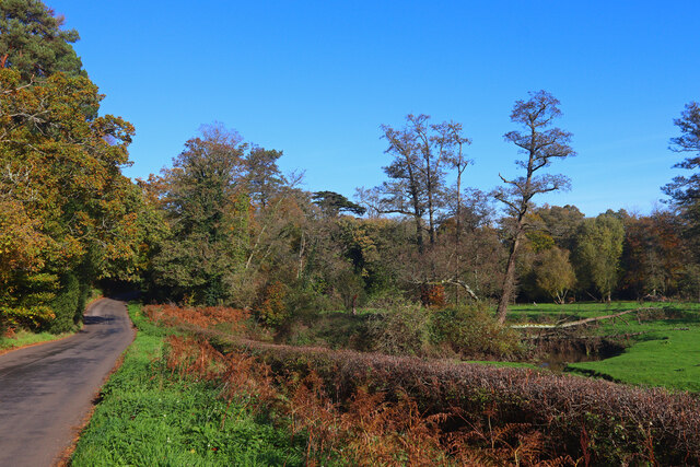
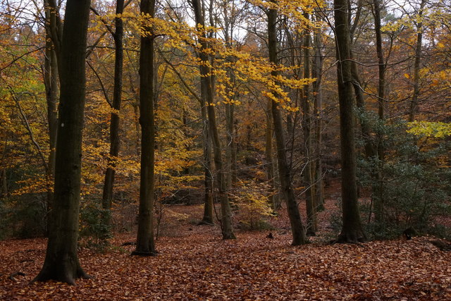
Vanner's Copse is a picturesque woodland located in Surrey, England. Covering an area of approximately 20 hectares, this enchanting forest is renowned for its natural beauty and diverse wildlife. The copse is situated near the village of Surrey Hills, making it easily accessible for nature enthusiasts and hikers alike.
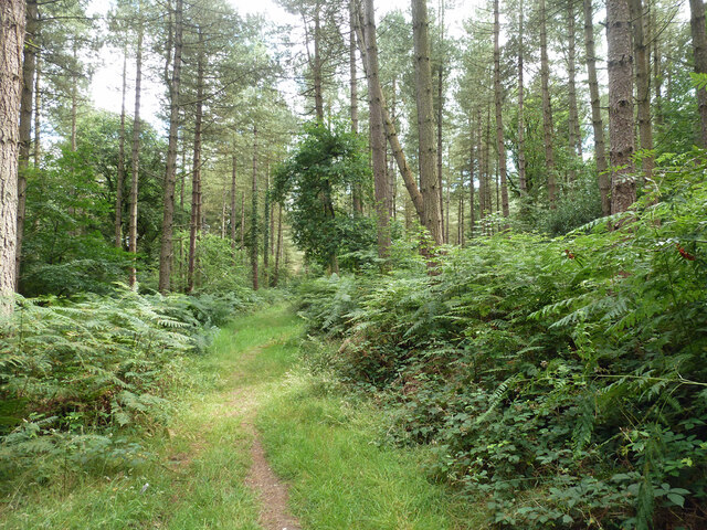
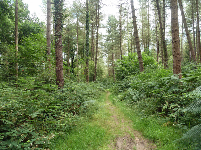
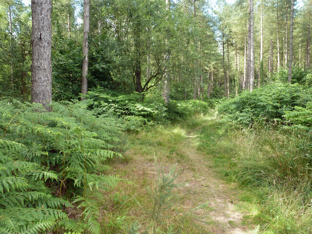
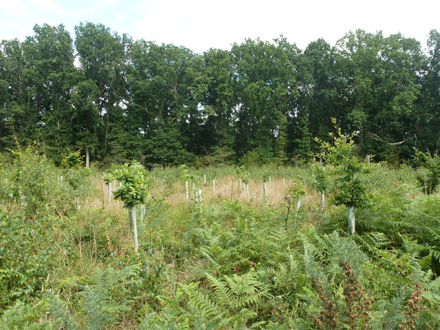
The woodland is predominantly composed of ancient oak trees, which provide a serene and tranquil atmosphere. The canopy of the trees creates a cool and shaded environment, perfect for escaping the summer heat. The forest floor is carpeted with a variety of wildflowers, adding a burst of color to the landscape.
Vanner's Copse is home to a wide range of wildlife, making it a popular spot for birdwatchers and animal lovers. Visitors might catch a glimpse of red deer, foxes, badgers, and various species of birds, including woodpeckers and owls. The copse also boasts a diverse array of plant life, with ferns, bluebells, and wild garlic being among the many species that flourish in this natural habitat.
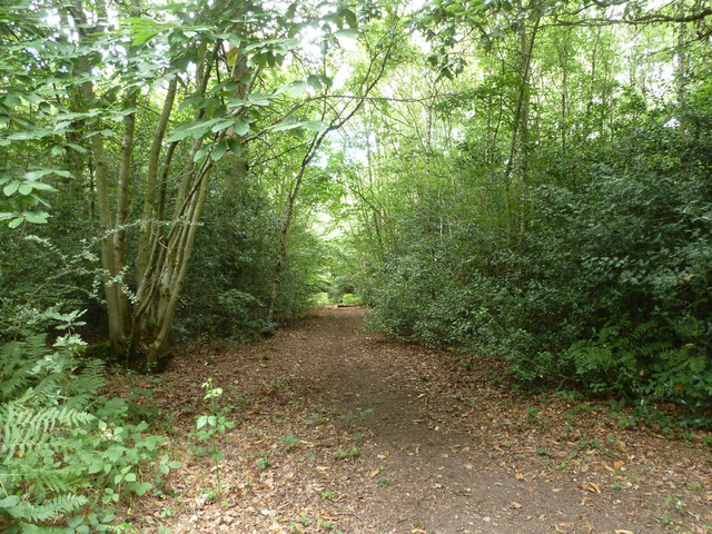
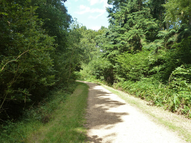
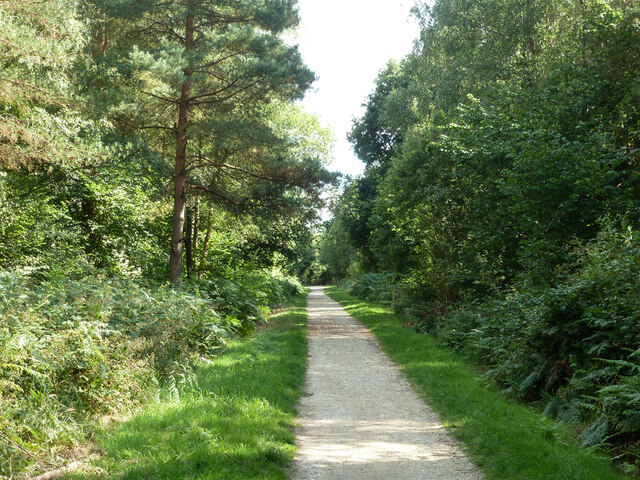
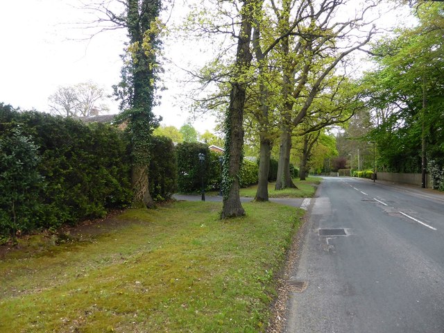
The woodland features several well-maintained trails, allowing visitors to explore the copse at their own pace. These paths wind through the forest, offering breathtaking views of the surrounding countryside. Many visitors choose to bring a picnic and enjoy a leisurely lunch amidst the tranquility of the woods.
Overall, Vanner's Copse in Surrey is a hidden gem for nature enthusiasts seeking solace and serenity. Its ancient trees, diverse wildlife, and scenic trails make it a must-visit destination for those looking to immerse themselves in the beauty of Surrey's natural landscapes.
If you have any feedback on the listing, please let us know in the comments section below.
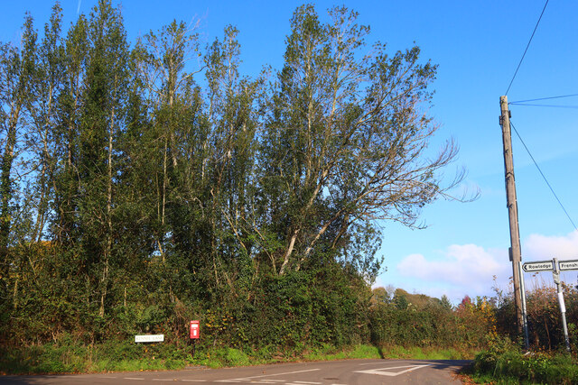
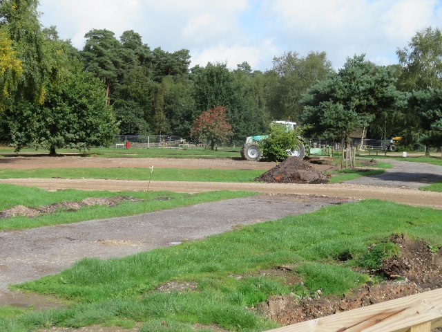
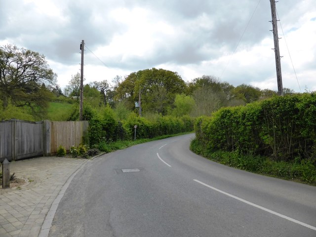
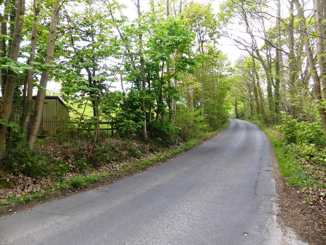
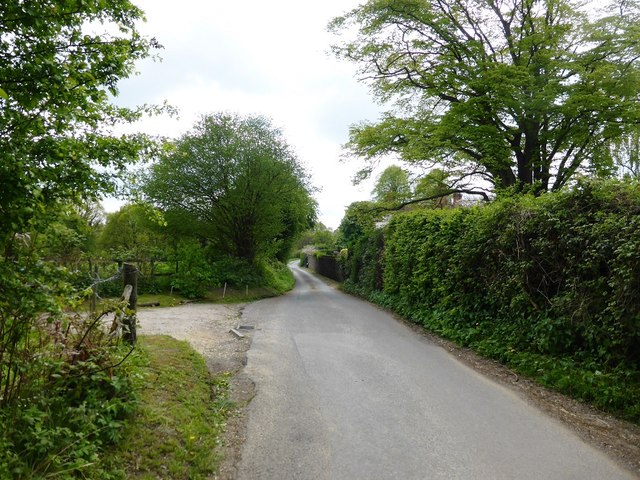
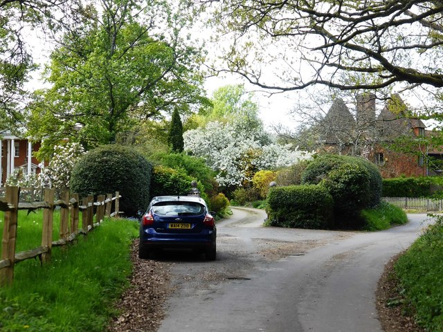
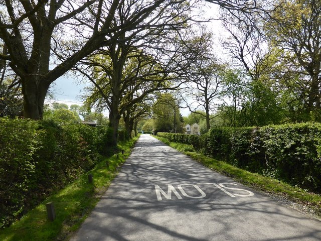
Vanner's Copse Images
Images are sourced within 2km of 51.177443/-0.81963635 or Grid Reference SU8242. Thanks to Geograph Open Source API. All images are credited.
Vanner's Copse is located at Grid Ref: SU8242 (Lat: 51.177443, Lng: -0.81963635)
Administrative County: Surrey
District: Waverley
Police Authority: Surrey
What 3 Words
///leaflet.palace.plotter. Near Farnham, Surrey
Nearby Locations
Related Wikis

Frensham Heights School
Frensham Heights School is an independent school and sixth form college located near Farnham, Surrey, England, run by the registered charity, Frensham...

Rowledge
Rowledge is a village in England on the Surrey–Hampshire border, centred south of the A31 and Farnham. Neighbouring villages include Wrecclesham, Spreakley...

Holt Pound
Holt Pound is a hamlet on the A325 road and two side roads and forms a slight projection of the county borders into Surrey in the East Hampshire district...
More House School, Frensham
More House School, Frensham, is an independent special school located in Surrey. It educates boys aged 8–19 who have learning difficulties. Its headmaster...
Nearby Amenities
Located within 500m of 51.177443,-0.81963635Have you been to Vanner's Copse?
Leave your review of Vanner's Copse below (or comments, questions and feedback).