End, West
Settlement in Surrey Waverley
England
End, West
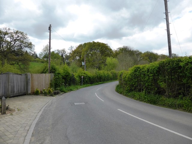
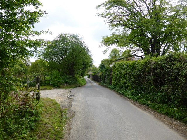
End, West, Surrey is a small village located in the western part of Surrey, England. Situated in the borough of Surrey Heath, it is nestled within the picturesque countryside of the region. The village is characterized by its tranquil and idyllic setting, with rolling green hills, meadows, and wooded areas surrounding it.
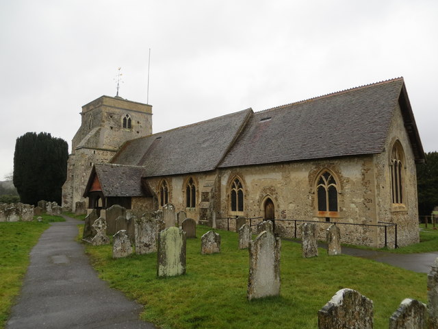
End, West, Surrey is known for its rich history, dating back to medieval times. The village has several historical landmarks, including the St. John the Baptist Church, which is a Grade II-listed building. This ancient church features stunning architecture and serves as a reminder of the village's heritage.
The community in End, West, Surrey is tight-knit and friendly, with a population of around 500 residents. The village offers a peaceful and serene atmosphere, making it an ideal place for those seeking a quiet and rural lifestyle. The residents take pride in their community, and there are various local events and activities that bring people together.
Despite its small size, End, West, Surrey benefits from its proximity to larger towns and cities. It is conveniently located near Camberley, which offers a range of amenities such as shopping centers, restaurants, and entertainment options. The village also benefits from good transportation links, with easy access to major roads and a nearby railway station.
Overall, End, West, Surrey is a charming and picturesque village that offers a peaceful and close-knit community for its residents. Its historical significance, beautiful surroundings, and convenient location make it an attractive place to live for those seeking a rural lifestyle within reach of urban amenities.
If you have any feedback on the listing, please let us know in the comments section below.
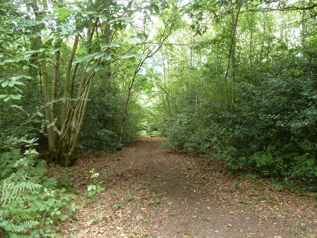
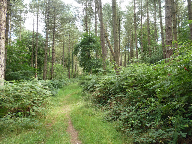
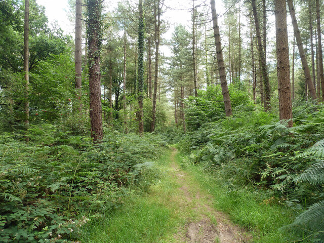
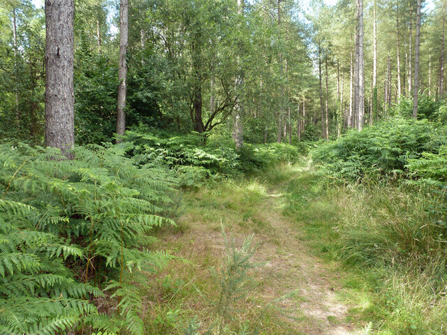
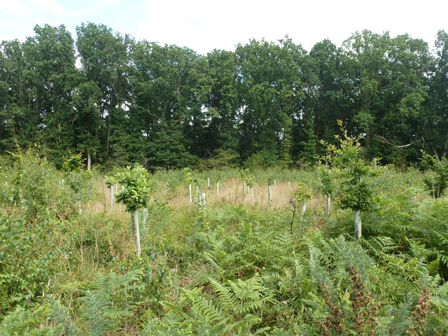
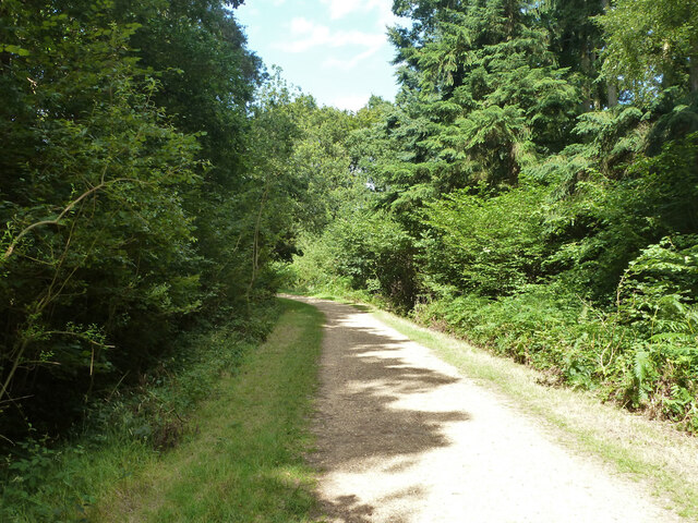
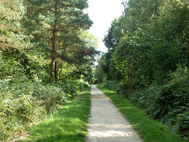
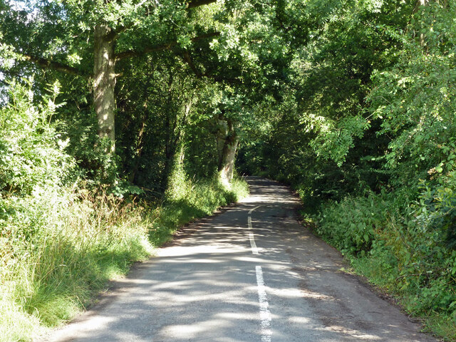
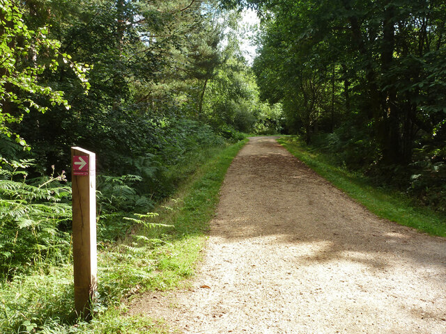
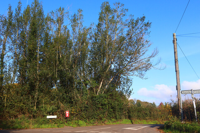
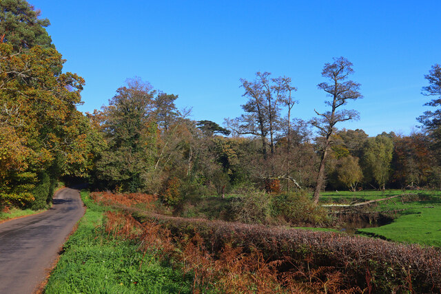
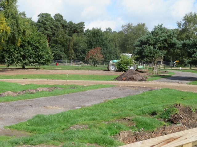
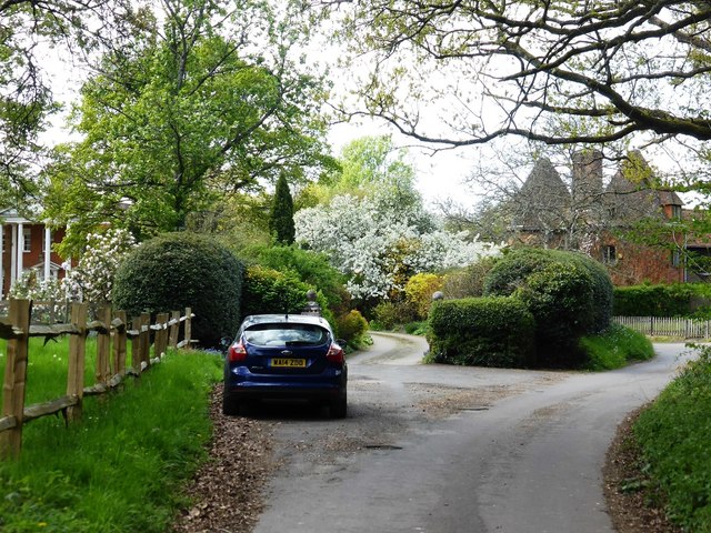
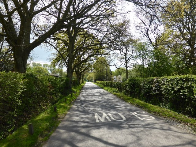
End, West Images
Images are sourced within 2km of 51.17238/-0.818287 or Grid Reference SU8242. Thanks to Geograph Open Source API. All images are credited.
End, West is located at Grid Ref: SU8242 (Lat: 51.17238, Lng: -0.818287)
Administrative County: Surrey
District: Waverley
Police Authority: Surrey
What 3 Words
///radar.drags.doubt. Near Farnham, Surrey
Nearby Locations
Related Wikis

Frensham Heights School
Frensham Heights School is an independent school and sixth form college located near Farnham, Surrey, England, run by the registered charity, Frensham...

Rowledge
Rowledge is a village in England on the Surrey–Hampshire border, centred south of the A31 and Farnham. Neighbouring villages include Wrecclesham, Spreakley...

Dockenfield
Dockenfield is a village and civil parish in the borough of Waverley in Surrey, England. The parish is undulating, has a number of sources of the River...
Pierrepont School, Frensham
Pierrepont School, Frensham, originally known as Pierrepont House School, was a private school in Surrey, England, with day pupils as well as boarders...

Alice Holt Forest
Alice Holt Forest is a royal forest in Hampshire, situated some 4 miles (6.4 km) south of Farnham, Surrey. Once predominantly an ancient oak forest, it...
Holt Pound
Holt Pound is a hamlet on the A325 road and two side roads and forms a slight projection of the county borders into Surrey in the East Hampshire district...

Frensham
Frensham is a village in Surrey, England, next to the A287 road, 13 miles (20.9 km) WSW of Guildford, the county town. Frensham lies on the right bank...

Bucks Horn Oak
Bucks Horn Oak is a small village in the East Hampshire district of Hampshire, England and is the main community within Alice Holt Forest. A small eastern...
Nearby Amenities
Located within 500m of 51.17238,-0.818287Have you been to End, West?
Leave your review of End, West below (or comments, questions and feedback).