West End
Settlement in Hampshire East Hampshire
England
West End
West End is a small village located in the county of Hampshire, in southern England. Situated approximately five miles northwest of the city of Southampton, West End is a predominantly residential area with a population of around 6,500 people.
The village boasts a rich history, with evidence of human habitation dating back to the Stone Age. Over the years, West End has grown from a rural farming community to a thriving suburb.
The village offers a range of amenities and facilities to its residents. It has a variety of shops, including a supermarket, convenience stores, and local independent businesses. There are also several pubs, restaurants, and cafes, providing options for dining and socializing.
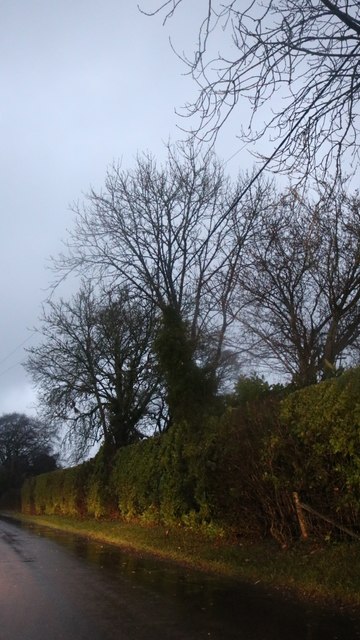
West End benefits from its close proximity to the beautiful Hampshire countryside, with numerous parks and green spaces nearby. It is also home to the Telegraph Woods, a nature reserve that offers scenic walking trails and opportunities for wildlife spotting.
The village has a strong sense of community, with various local organizations and clubs catering to different interests. These include sports clubs, community centers, and youth groups, providing opportunities for residents of all ages to get involved and connect with others.
Transport links in West End are excellent, with regular bus services connecting the village to Southampton and other nearby towns. The M27 motorway is easily accessible, providing convenient links to other parts of Hampshire and beyond.
Overall, West End offers a peaceful and picturesque place to live, with a range of amenities, a strong community spirit, and easy access to both urban and rural areas.
If you have any feedback on the listing, please let us know in the comments section below.
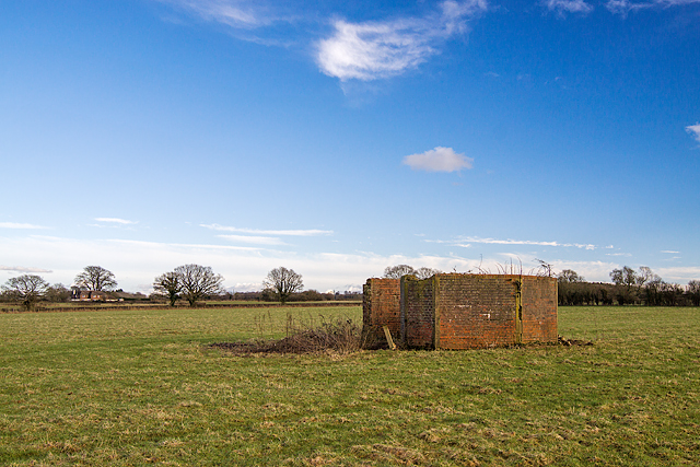
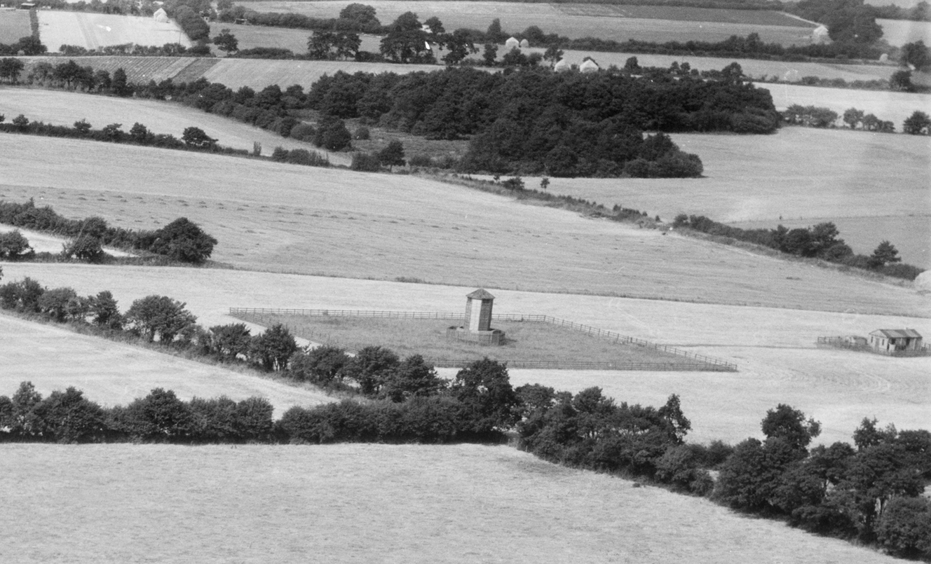
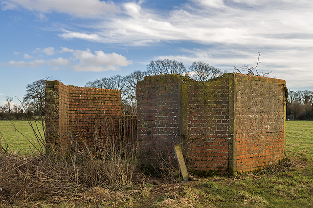
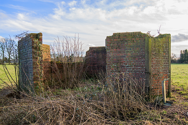
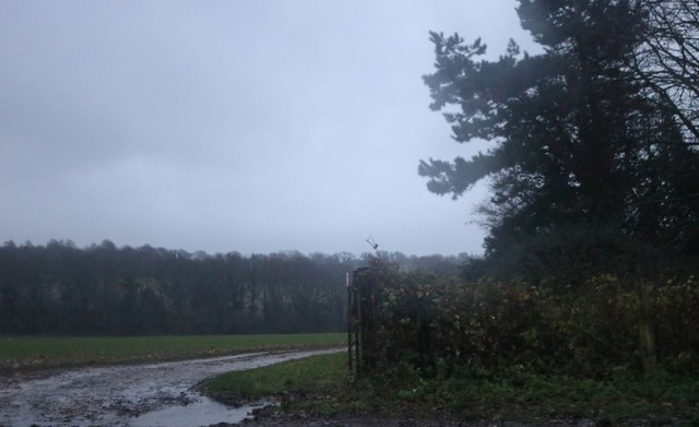
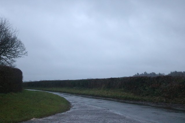
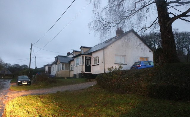
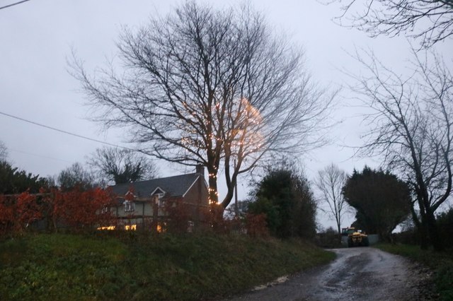
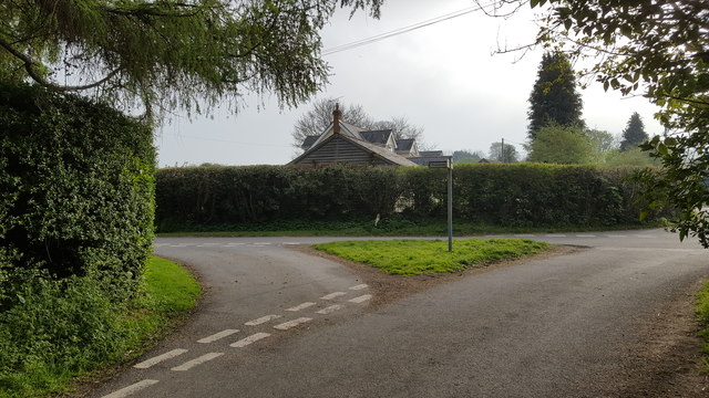
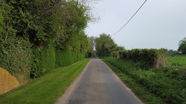
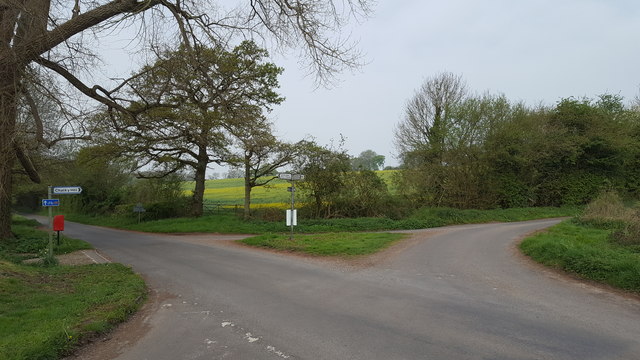
West End Images
Images are sourced within 2km of 51.120438/-1.091281 or Grid Reference SU6336. Thanks to Geograph Open Source API. All images are credited.
West End is located at Grid Ref: SU6336 (Lat: 51.120438, Lng: -1.091281)
Administrative County: Hampshire
District: East Hampshire
Police Authority: Hampshire
What 3 Words
///storm.disarmed.latches. Near Four Marks, Hampshire
Related Wikis

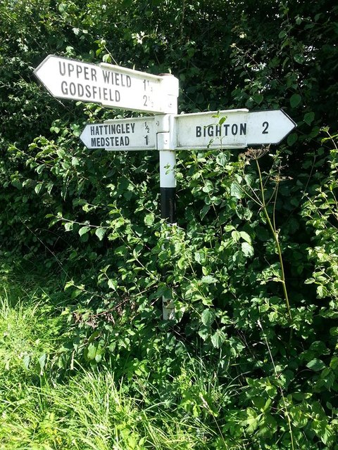
Hattingley
Hattingley is a small hamlet in the East Hampshire district of Hampshire, England. == Geography == It is 5 miles (8.0 km) southwest of Alton, just off...

Wield
Wield is a civil parish in the East Hampshire district, in the county of Hampshire, England. It includes two neighbouring villages, Upper Wield and Lower...
Soldridge
Soldridge is a hamlet in the East Hampshire district of Hampshire, England. It is 5 miles (8 km) southwest of Alton, just off the A31 road. The nearest...
South Town, Hampshire
South Town is a hamlet situated in the civil parish of Medstead, Hampshire. Its nearest town is Alton, which lies 4.7 miles (7.6 km) away. The nearest...

Medstead
Medstead is a village and civil parish in the East Hampshire district of Hampshire, England. Its nearest town is Alton, which lies 4.3 miles (6.9 km) northeast...
Upper Wield
Upper Wield is a village in the East Hampshire district of Hampshire, England. It is in the civil parish of Wield. It is 5.5 miles (8.9 km) west of...
New Copse
New Copse is a hamlet in the large civil parish of Bentworth in Hampshire, England. The nearest town is Alton, which lies approximately 3.7 miles (6.0...
North Street, Hampshire
North Street is a hamlet in the parish of Ropley in Hampshire, England. The hamlet lies on the A31 road from Alton to Winchester. == Etymology == North...
Nearby Amenities
Located within 500m of 51.120438,-1.091281Have you been to West End?
Leave your review of West End below (or comments, questions and feedback).