End, West

Settlement in Hampshire East Hampshire

England

End, West

WWII Hampshire - RAF Lasham HF/DF station - Hattingley Farm (1) -
RDF Tower DOB ID: e34363
 
The crumbling octagonal blast wall is all that remains today of a wartime radio direction finding station, one of only two such survivors in the whole of Hampshire, the other being at the former RAF Ibsley: <a title="https://www.geograph.org.uk/photo/4704961" href="https://www.geograph.org.uk/photo/4704961">Link</a> Part of the fighter control system, its parent station was probably RAF Lasham and its airfield. 

The demand for these DF stations was very great during the Second World War, as not only were they vital to the RAF especially during the Battle of Britain, but they were also in use with the 'Y' service to gather  signals intelligence on enemy shipping (particularly the VHF transmissions from German 'E' boats). When operational the station would have looked similar to this one at Beeston Hill, Norfolk: <span class="nowrap"><a title="https://en.wikipedia.org/wiki/Beeston_Hill_Y_Station" rel="nofollow ugc noopener" href="https://en.wikipedia.org/wiki/Beeston_Hill_Y_Station">Link</a><img style="margin-left:2px;" alt="External link" title="External link - shift click to open in new window" src="https://s1.geograph.org.uk/img/external.png" width="10" height="10"/></span> 

An aerial photo of 1947 from the Britain from Above website: <span class="nowrap"><a title="https://media.geograph.org.uk/files/7eabe3a1649ffa2b3ff8c02ebfd5659f/EAW010599_Hattingley_House_and_Farm_Hattingley_1947.png" rel="nofollow ugc noopener" href="https://media.geograph.org.uk/files/7eabe3a1649ffa2b3ff8c02ebfd5659f/EAW010599_Hattingley_House_and_Farm_Hattingley_1947.png">Link</a><img style="margin-left:2px;" alt="External link" title="External link - shift click to open in new window" src="https://s1.geograph.org.uk/img/external.png" width="10" height="10"/></span>
It clearly shows the Hattingley Farm RDF site much as it was. On the left of the photo is the wooden tower within its blast wall, together with an ancillary building to the right of it. The uncultivated area that surrounds the tower may have been the result of soil disturbance during the construction of an earth mat for the site. A boundary fence ensures that any farming activity remains outside of this area. The ancillary building displays obvious signs of camouflage paint on its roof. 

<a href="https://www.geograph.org.uk/photo/5274121">SU6437 : WWII Hampshire - RAF Lasham HF/DF station - Hattingley Farm (2)</a>
WWII Hampshire - RAF Lasham HF/DF station - Hattingley Farm (1) Credit: Mike Searle

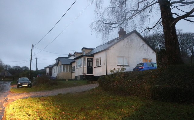
End, West, Hampshire is a small village located in the county of Hampshire, in the southern part of England. With a population of around 500 people, it is a close-knit community that offers a peaceful and picturesque setting for its residents.

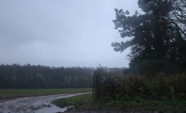
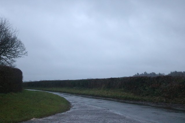
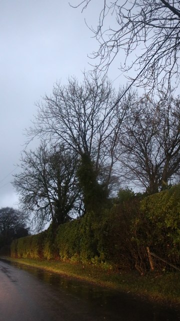
Situated near the western edge of Hampshire, the village is surrounded by rolling hills, lush green fields, and charming countryside. It is known for its beautiful landscapes and tranquil atmosphere, making it a popular destination for nature lovers and those seeking a break from the hustle and bustle of city life.

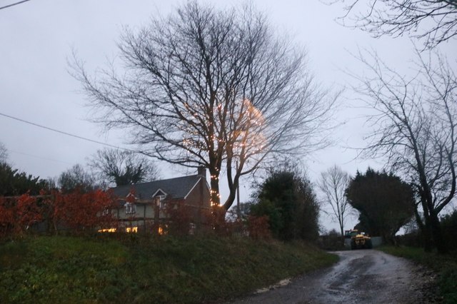
End, West, Hampshire boasts a rich history, with records dating back to the Domesday Book in 1086. The village has managed to retain much of its traditional character, with a mix of historic buildings and newer developments. The local church, St. Mary's, is a prominent landmark and serves as a gathering place for religious and community events.

Despite its small size, End, West, Hampshire provides its residents with essential amenities. The village has a local shop and a pub, where locals can meet and socialize. Additionally, there are several recreational facilities, such as sports fields and walking trails, allowing residents to engage in outdoor activities.

The village benefits from its proximity to larger towns and cities. Nearby, there are excellent transport links, with major roads and rail connections, providing easy access to surrounding areas and beyond. This makes End, West, Hampshire an attractive place to live for those who prefer a rural lifestyle but still require access to urban amenities.

Overall, End, West, Hampshire is a charming village that offers a peaceful and idyllic setting for its residents, combining natural beauty with a sense of community spirit.

If you have any feedback on the listing, please let us know in the comments section below.
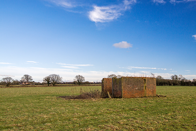
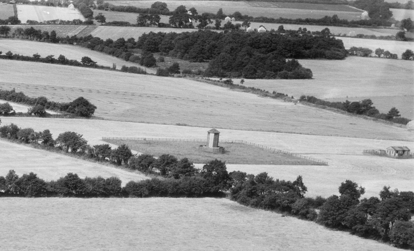
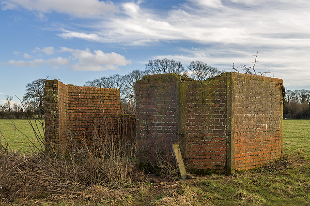
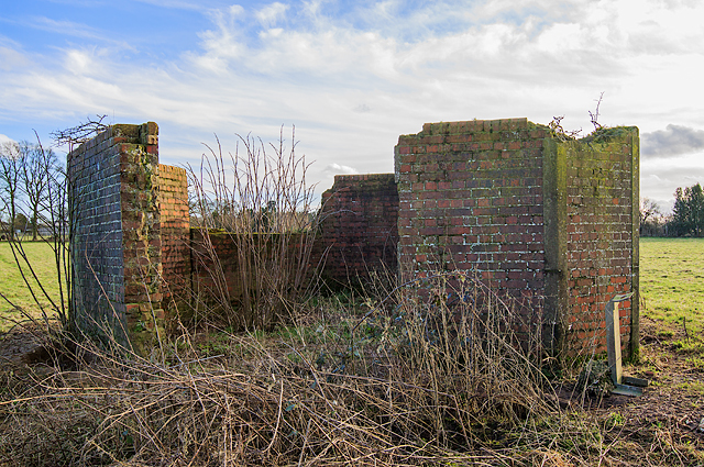
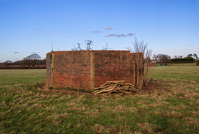
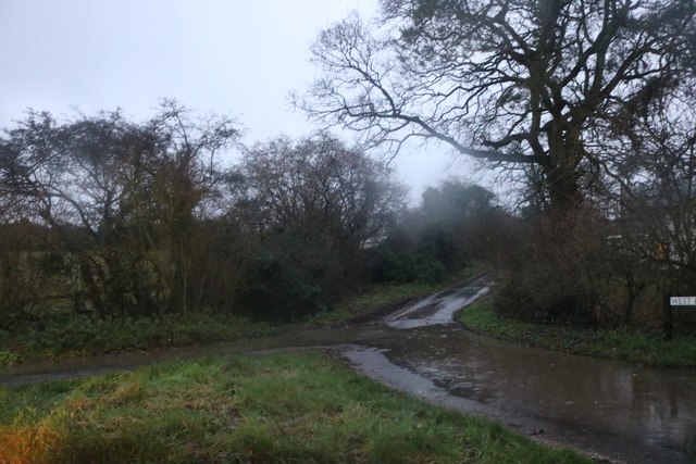
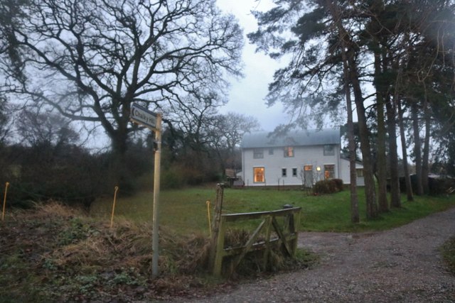
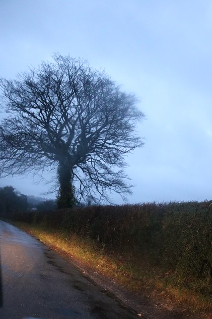
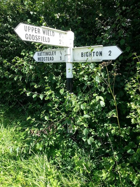
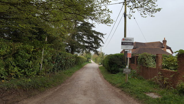
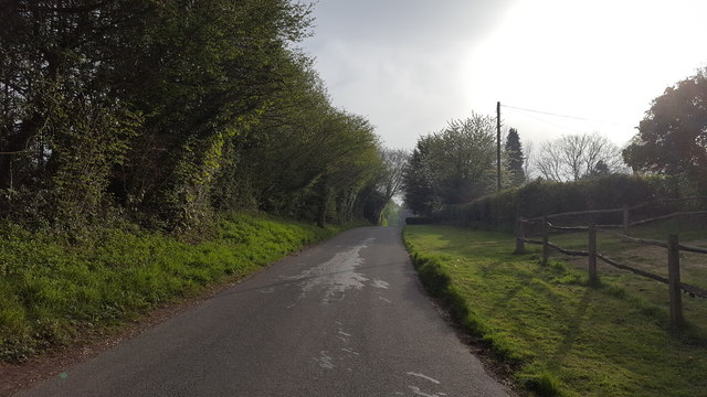
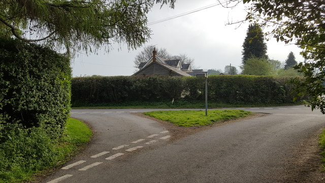
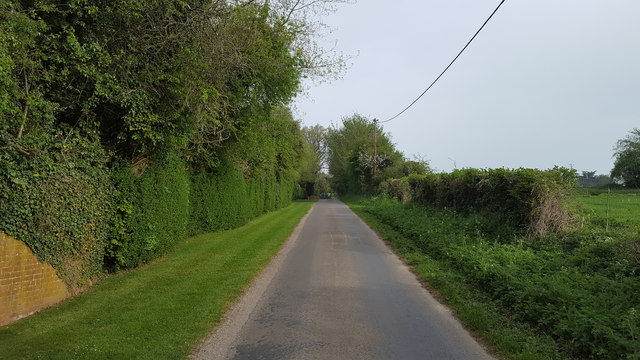
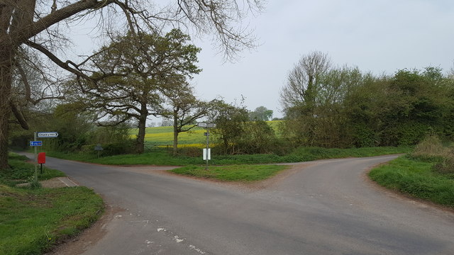
End, West Images

Images are sourced within 2km of 51.120438/-1.091281 or Grid Reference SU6336. Thanks to Geograph Open Source API. All images are credited.

WWII Hampshire - RAF Lasham HF/DF station - Hattingley Farm (1) -
RDF Tower DOB ID: e34363
 
The crumbling octagonal blast wall is all that remains today of a wartime radio direction finding station, one of only two such survivors in the whole of Hampshire, the other being at the former RAF Ibsley: <a title="https://www.geograph.org.uk/photo/4704961" href="https://www.geograph.org.uk/photo/4704961">Link</a> Part of the fighter control system, its parent station was probably RAF Lasham and its airfield. 

The demand for these DF stations was very great during the Second World War, as not only were they vital to the RAF especially during the Battle of Britain, but they were also in use with the 'Y' service to gather  signals intelligence on enemy shipping (particularly the VHF transmissions from German 'E' boats). When operational the station would have looked similar to this one at Beeston Hill, Norfolk: <span class="nowrap"><a title="https://en.wikipedia.org/wiki/Beeston_Hill_Y_Station" rel="nofollow ugc noopener" href="https://en.wikipedia.org/wiki/Beeston_Hill_Y_Station">Link</a><img style="margin-left:2px;" alt="External link" title="External link - shift click to open in new window" src="https://s1.geograph.org.uk/img/external.png" width="10" height="10"/></span> 

An aerial photo of 1947 from the Britain from Above website: <span class="nowrap"><a title="https://media.geograph.org.uk/files/7eabe3a1649ffa2b3ff8c02ebfd5659f/EAW010599_Hattingley_House_and_Farm_Hattingley_1947.png" rel="nofollow ugc noopener" href="https://media.geograph.org.uk/files/7eabe3a1649ffa2b3ff8c02ebfd5659f/EAW010599_Hattingley_House_and_Farm_Hattingley_1947.png">Link</a><img style="margin-left:2px;" alt="External link" title="External link - shift click to open in new window" src="https://s1.geograph.org.uk/img/external.png" width="10" height="10"/></span>
It clearly shows the Hattingley Farm RDF site much as it was. On the left of the photo is the wooden tower within its blast wall, together with an ancillary building to the right of it. The uncultivated area that surrounds the tower may have been the result of soil disturbance during the construction of an earth mat for the site. A boundary fence ensures that any farming activity remains outside of this area. The ancillary building displays obvious signs of camouflage paint on its roof. 

<a href="https://www.geograph.org.uk/photo/5274121">SU6437 : WWII Hampshire - RAF Lasham HF/DF station - Hattingley Farm (2)</a>
WWII Hampshire - RAF Lasham HF/DF station - Hattingley Farm (1)
- RDF Tower DOB ID: e34363 The crumbling octagonal blast wall is all that remains today of a wartime radio direction finding station, one of only two such survivors in the whole of Hampshire, the other being at the former RAF Ibsley: Link Part of the fighter control system, its parent station was probably RAF Lasham and its airfield. The demand for these DF stations was very great during the Second World War, as not only were they vital to the RAF especially during the Battle of Britain, but they were also in use with the 'Y' service to gather signals intelligence on enemy shipping (particularly the VHF transmissions from German 'E' boats). When operational the station would have looked similar to this one at Beeston Hill, Norfolk: LinkExternal link An aerial photo of 1947 from the Britain from Above website: LinkExternal link It clearly shows the Hattingley Farm RDF site much as it was. On the left of the photo is the wooden tower within its blast wall, together with an ancillary building to the right of it. The uncultivated area that surrounds the tower may have been the result of soil disturbance during the construction of an earth mat for the site. A boundary fence ensures that any farming activity remains outside of this area. The ancillary building displays obvious signs of camouflage paint on its roof. SU6437 : WWII Hampshire - RAF Lasham HF/DF station - Hattingley Farm (2)
WWII Hampshire - RAF Lasham HF/DF station - Hattingley Farm (2) -
RDF Tower DOB ID: e34363

Despite concrete reinforcing at the corners of the blast wall, it's in worse condition than the one at Ibsley which has no reinforcement at all.

<a href="https://www.geograph.org.uk/photo/5274127">SU6437 : WWII Hampshire - RAF Lasham HF/DF station - Hattingley Farm (3)</a>
WWII Hampshire - RAF Lasham HF/DF station - Hattingley Farm (2)
- RDF Tower DOB ID: e34363 Despite concrete reinforcing at the corners of the blast wall, it's in worse condition than the one at Ibsley which has no reinforcement at all. SU6437 : WWII Hampshire - RAF Lasham HF/DF station - Hattingley Farm (3)
WWII Hampshire - RAF Lasham HF/DF station - Hattingley Farm (3) -
RDF Tower DOB ID: e34363

The curious looking post on the right may have been a mast support for an aerial that radiated a test signal as a calibration aid for the station. It clearly is not in its original position, and still has a substantial lump of concrete ballast attached to its base.

<a href="https://www.geograph.org.uk/photo/5274144">SU6437 : WWII Hampshire - RAF Lasham HF/DF station - Hattingley Farm (4)</a>
WWII Hampshire - RAF Lasham HF/DF station - Hattingley Farm (3)
- RDF Tower DOB ID: e34363 The curious looking post on the right may have been a mast support for an aerial that radiated a test signal as a calibration aid for the station. It clearly is not in its original position, and still has a substantial lump of concrete ballast attached to its base. SU6437 : WWII Hampshire - RAF Lasham HF/DF station - Hattingley Farm (4)
WWII Hampshire - RAF Lasham HF/DF station - Hattingley Farm (4) -
RDF Tower DOB ID: e34363

The original 30 foot tall octagonal wooden tower that once stood within the surrounding blast wall has long since disappeared. It would have been double-skinned, and the space in between filled with gravel, giving it a measure of protection from bullets and shrapnel. There is nothing of interest inside, the concrete foundations of the tower that might have been expected to have survived, probably now lie buried under soil.
WWII Hampshire - RAF Lasham HF/DF station - Hattingley Farm (4)
- RDF Tower DOB ID: e34363 The original 30 foot tall octagonal wooden tower that once stood within the surrounding blast wall has long since disappeared. It would have been double-skinned, and the space in between filled with gravel, giving it a measure of protection from bullets and shrapnel. There is nothing of interest inside, the concrete foundations of the tower that might have been expected to have survived, probably now lie buried under soil.
West End Lane near Medstead
House on Bighton Road near Medstead The mist was torrential rain.
House on Bighton Road near Medstead
The mist was torrential rain.
Tree on Bighton Road, West End
Muddy field by Bighton Road
Bighton Road near West End
Houses on Bighton Road, Medstead
House on Common Hill, Medstead
Common Hill, Medstead
Old Direction Sign - Signpost by Heath Green, Medstead parish No finial - 3 arms; by the UC road, in parish of Medstead (East Hampshire District), Heath Green, junction of Heath Green Lane with Hattingley Road and Chalky Hill, on the verge, against a hedge.

To be surveyed

Milestone Society National ID: HA_SU6337
Old Direction Sign - Signpost by Heath Green, Medstead parish
No finial - 3 arms; by the UC road, in parish of Medstead (East Hampshire District), Heath Green, junction of Heath Green Lane with Hattingley Road and Chalky Hill, on the verge, against a hedge. To be surveyed Milestone Society National ID: HA_SU6337
Homestead Lane Homestead Lane serves a few isolated homes.
Homestead Lane
Homestead Lane serves a few isolated homes.
Paice Lane A minor rural road near to South Town.
Paice Lane
A minor rural road near to South Town.
Rural road junction Minor roads converge at this point.
Rural road junction
Minor roads converge at this point.
West End Lane West End Lane at West End farm.
West End Lane
West End Lane at West End farm.
Rural road junction Remote road junction at Chalky Hill.
Rural road junction
Remote road junction at Chalky Hill.
Show me another place!

End, West is located at Grid Ref: SU6336 (Lat: 51.120438, Lng: -1.091281)

Administrative County: Hampshire

District: East Hampshire

Police Authority: Hampshire

What 3 Words

///storm.disarmed.latches. Near Four Marks, Hampshire

Nearby Locations

West End End, West

Related Wikis

Hattingley

Hattingley is a small hamlet in the East Hampshire district of Hampshire, England. == Geography == It is 5 miles (8.0 km) southwest of Alton, just off...

Wield

Wield is a civil parish in the East Hampshire district, in the county of Hampshire, England. It includes two neighbouring villages, Upper Wield and Lower...

Soldridge

Soldridge is a hamlet in the East Hampshire district of Hampshire, England. It is 5 miles (8 km) southwest of Alton, just off the A31 road. The nearest...

South Town, Hampshire

South Town is a hamlet situated in the civil parish of Medstead, Hampshire. Its nearest town is Alton, which lies 4.7 miles (7.6 km) away. The nearest...

Medstead

Medstead is a village and civil parish in the East Hampshire district of Hampshire, England. Its nearest town is Alton, which lies 4.3 miles (6.9 km) northeast...

Upper Wield

Upper Wield is a village in the East Hampshire district of Hampshire, England. It is in the civil parish of Wield. It is 5.5 miles (8.9 km) west of...

New Copse

New Copse is a hamlet in the large civil parish of Bentworth in Hampshire, England. The nearest town is Alton, which lies approximately 3.7 miles (6.0...

North Street, Hampshire

North Street is a hamlet in the parish of Ropley in Hampshire, England. The hamlet lies on the A31 road from Alton to Winchester. == Etymology == North...

Related Videos

Brighton with My Family

I wish i had my swim suit on this day, anyway weather was not perfect BUT..

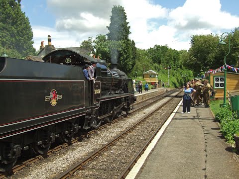
Mid Hants Railway 'War on the Line' - Saturday 9th June 2012

MidHantsRailway #WatercressLine #WarontheLine My video from the Saturday of the War on the Line weekend at the Mid Hants ...

HART Wildlife Rescue Zoom Talk For Wild Winchester Group

HART wildlife rescue zoom talk presentation for the Facebook group Wild Winchester. Focussing on the work of HART wildlife ...

MLVs 9001+9002 at the Midhants Railway Diesel Gala | 17.07.2022

Motor Luggage Vans 419001 (Carriage 68001) and 419002 (Carriage 68002) at the Watercress Line Diesel Gala.

Nearby Amenities

Located within 500m of 51.120438,-1.091281
Barrier: stile
Lat/Long: 51.1209194/-1.0853819
Barrier: stile
Lat/Long: 51.1224868/-1.0863949
Barrier: stile
Lat/Long: 51.1182925/-1.0853639
Barrier: stile
Lat/Long: 51.1191493/-1.0846166
West End
Is In: Medstead
Place: hamlet
Source: OS_OpenData_StreetView
Lat/Long: 51.1178895/-1.0888693
Post Box
Post Box Type: lamp
Ref: GU34 35
Royal Cypher: EIIR
Royal Cypher Wikidata: Q33102113
Lat/Long: 51.1203818/-1.091622
Barrier: stile
Lat/Long: 51.11929/-1.0844949
Give Way
Lat/Long: 51.1203823/-1.0917162
Give Way
Source: Hampshire-Aerial-FCIR
Lat/Long: 51.1204622/-1.0914722
Give Way
Source: Hampshire-Aerial-FCIR
Lat/Long: 51.1204826/-1.0915863
Give Way
Source: Hampshire-Aerial-FCIR
Lat/Long: 51.120546/-1.0913676
The data included in this document is from www.openstreetmap.org. The data is made available under ODbL.

Have you been to End, West?

Leave your review of End, West below (or comments, questions and feedback).