Frensham

Civil Parish in Surrey Waverley

England

Frensham

Pasture, Binsted
Pasture, Binsted Credit: Andrew Smith

Frensham is a civil parish located in the county of Surrey, England. Situated approximately 50 miles southwest of London, it covers an area of around 12 square miles. The parish includes the villages of Frensham and Dockenfield, as well as the surrounding countryside.

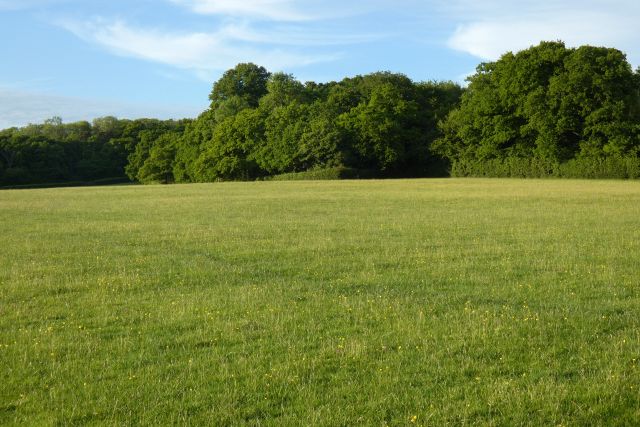
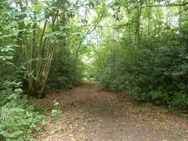
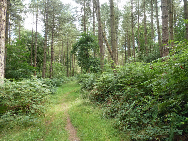
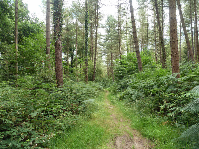
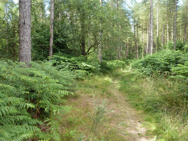
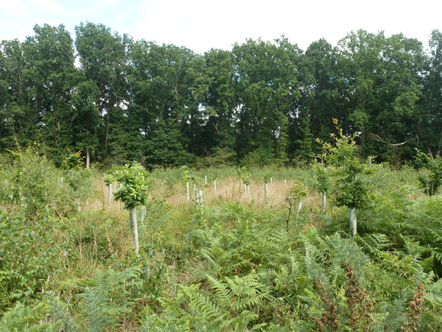
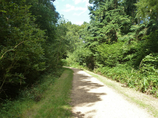
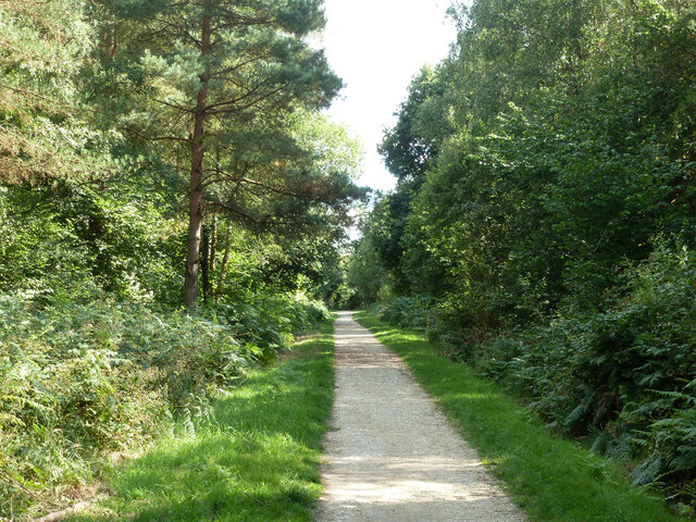
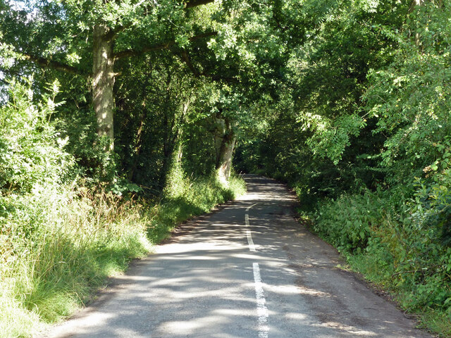
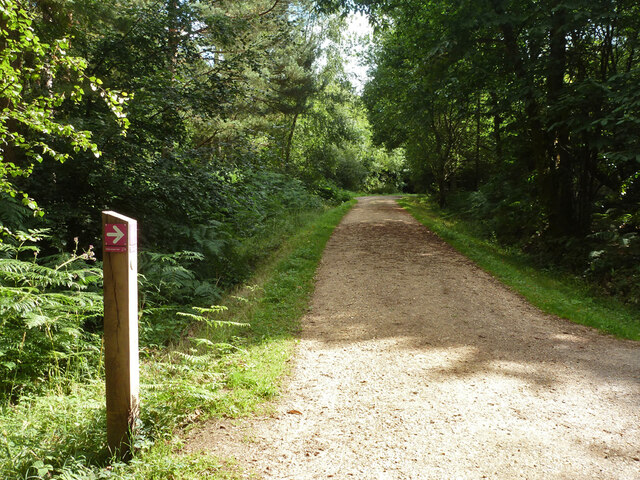
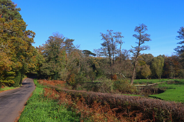
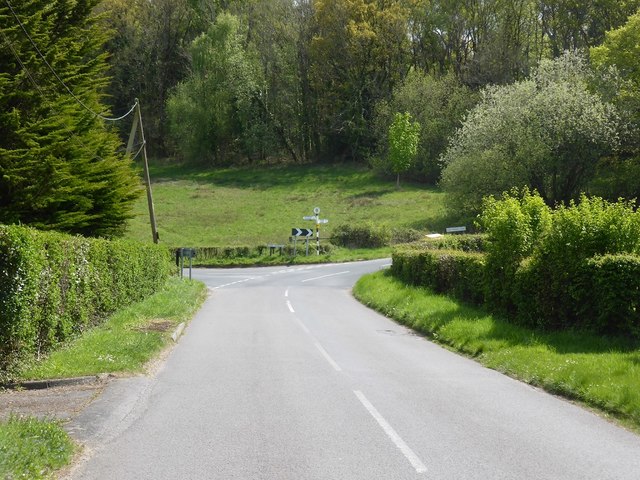
Frensham is known for its picturesque beauty, with vast expanses of open heathland, woodlands, and two large ponds known as Frensham Great Pond and Frensham Little Pond. These ponds are popular recreational spots and attract visitors for various water activities such as swimming, boating, and fishing.

The area is rich in history, with evidence of human settlement dating back to ancient times. Frensham Great Pond, for example, was created in the 13th century to serve as a fish pond for the Bishop of Winchester. The nearby Frensham Common is a designated Site of Special Scientific Interest due to its biodiversity and geological significance.

The village of Frensham itself retains its traditional charm, with a mix of architectural styles ranging from thatched cottages to Georgian and Victorian houses. It has a small but vibrant community, with a local pub, church, and village hall serving as social hubs.

Frensham is well-connected to the surrounding areas, with good transport links to nearby towns such as Farnham and Haslemere. It offers a peaceful and picturesque setting, making it an attractive place to live for those seeking a rural escape while still having access to urban amenities.

If you have any feedback on the listing, please let us know in the comments section below.
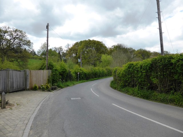
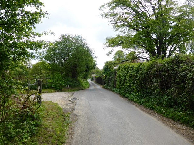
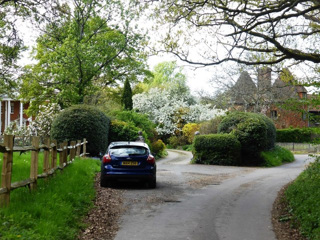
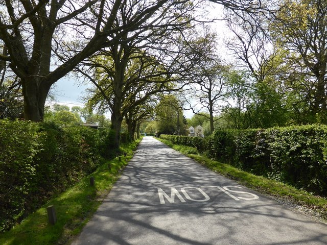
Frensham Images

Images are sourced within 2km of 51.171668/-0.82796 or Grid Reference SU8242. Thanks to Geograph Open Source API. All images are credited.

Pasture, Binsted
Pasture, Binsted
Path, Alice Holt Forest Heading south in the Glenbervie Inclosure part of the Forestry Commission woodland.
Path, Alice Holt Forest
Heading south in the Glenbervie Inclosure part of the Forestry Commission woodland.
Path, Alice Holt Forest Heading south in the Glenbervie Inclosure part of the Forestry Commission woodland.
Path, Alice Holt Forest
Heading south in the Glenbervie Inclosure part of the Forestry Commission woodland.
Path, Alice Holt Forest Heading south in the Glenbervie Inclosure part of the Forestry Commission woodland.
Path, Alice Holt Forest
Heading south in the Glenbervie Inclosure part of the Forestry Commission woodland.
Path, Alice Holt Forest Heading north in the Glenbervie Inclosure part of the Forestry Commission woodland.
Path, Alice Holt Forest
Heading north in the Glenbervie Inclosure part of the Forestry Commission woodland.
Replanted area, Glenbervie Inclosure, Alice Holt Forest They appear to be a species of oak.
Replanted area, Glenbervie Inclosure, Alice Holt Forest
They appear to be a species of oak.
Track, Alice Holt Forest In the Glenbervie Inclosure part of the Forestry Commission woodland.
Track, Alice Holt Forest
In the Glenbervie Inclosure part of the Forestry Commission woodland.
Path, Alice Holt Forest In the Glenbervie Inclosure part of the Forestry Commission woodland.
Path, Alice Holt Forest
In the Glenbervie Inclosure part of the Forestry Commission woodland.
Woodhill Lane Looking towards Spreakley,  away from its junction with Boundary Road.
Woodhill Lane
Looking towards Spreakley, away from its junction with Boundary Road.
Footpath Binstead 51/3 in Alice Holt Forest Towards Dockenfield Street. The red arrow signs a circular route within the Forestry Commission woodland.
Footpath Binstead 51/3 in Alice Holt Forest
Towards Dockenfield Street. The red arrow signs a circular route within the Forestry Commission woodland.
Shortfield Common Road River running alongside the road.
Shortfield Common Road
River running alongside the road.
Upgrading the visitors car park Alice Holt Forest continues to be very popular.
Upgrading the visitors car park
Alice Holt Forest continues to be very popular.
Woodland Track off Gravel Hill Road Looking south-eastward.
Woodland Track off Gravel Hill Road
Looking south-eastward.
Marley Bridge Road at Marley Bridge Farm
Summerfield Lane at Broomfields
West End House and Oast House, West End Lane
Boundary Road near Bowlers Farm
Approaching the junction of Dockenfield Street and High Thicket Road
Show me another place!

Frensham is located at Grid Ref: SU8242 (Lat: 51.171668, Lng: -0.82796)

Administrative County: Surrey

District: Waverley

Police Authority: Surrey

What 3 Words

///meanders.assures.lunging. Near Farnham, Surrey

Related Wikis

Alice Holt Forest

Alice Holt Forest is a royal forest in Hampshire, situated some 4 miles (6.4 km) south of Farnham, Surrey. Once predominantly an ancient oak forest, it...

Rowledge

Rowledge is a village in England on the Surrey–Hampshire border, centred south of the A31 and Farnham. Neighbouring villages include Wrecclesham, Spreakley...

Bucks Horn Oak

Bucks Horn Oak is a small village in the East Hampshire district of Hampshire, England and is the main community within Alice Holt Forest. A small eastern...

Frensham Heights School

Frensham Heights School is an independent school and sixth form college located near Farnham, Surrey, England, run by the registered charity, Frensham...

Birdworld

Birdworld is the United Kingdom's largest bird park, covering 26 acres (11 ha). It is located in the East Hampshire district, close to the village of Bucks...

Holt Pound

Holt Pound is a hamlet on the A325 road and two side roads and forms a slight projection of the county borders into Surrey in the East Hampshire district...

Dockenfield

Dockenfield is a village and civil parish in the borough of Waverley in Surrey, England. The parish is undulating, has a number of sources of the River...

Alice Holt Research Station

The Alice Holt Research Station is one of two British forestry research institutes, and is located in north-east Hampshire. == History == It was established...

Nearby Amenities

Located within 500m of 51.171668,-0.82796
Give Way
Lat/Long: 51.1696507/-0.8275304
Willows Green Farm
Landuse: farm
Note Retag: CS #48756035
Source: OS_OpenData_StreetView
Lat/Long: 51.1719177/-0.8276439
Reeds Hatch Farm
Landuse: farm
Note Retag: CS #48756035
Source: OS_OpenData_StreetView
Lat/Long: 51.1718774/-0.8256269
Little Oakley
Addr Housename: Little Oakley
Building: house
Source: OS_OpenData_StreetView
Lat/Long: 51.1685538/-0.8277413
Ford: yes
Lat/Long: 51.1730684/-0.8316849
Give Way
Source: Bing
Lat/Long: 51.1732764/-0.8260609
Bench
Inscription: IN ΜEMORY OF PHYLL NEGUS WHO LOVED THESE WOODS
Lat/Long: 51.1747202/-0.8304283
Diameter: 10"
Direction: 90
Distance: 7.3km
Marker: pedestal
Operator: ESSO
Pipeline: marker
Support: ground
Utility: oil
Lat/Long: 51.1694078/-0.8320355
The data included in this document is from www.openstreetmap.org. The data is made available under ODbL.

Have you been to Frensham?

Leave your review of Frensham below (or comments, questions and feedback).