Freshford
Civil Parish in Somerset
England
Freshford

Freshford is a civil parish located in the county of Somerset, England. Situated in the Avon Valley, it lies approximately 6 miles south-east of the city of Bath and 15 miles west of Trowbridge. With a population of around 700 residents, Freshford is a small and picturesque village that offers a peaceful and idyllic countryside setting.
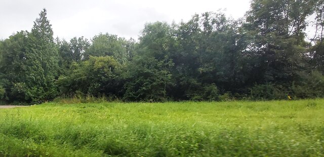
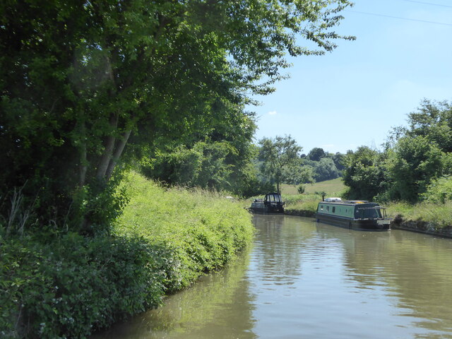
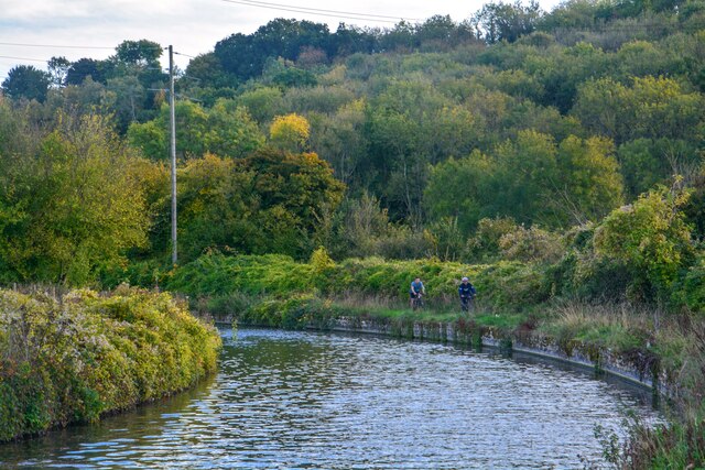
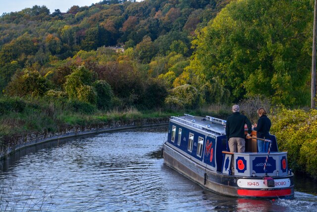
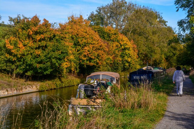
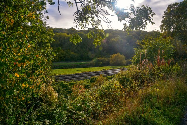
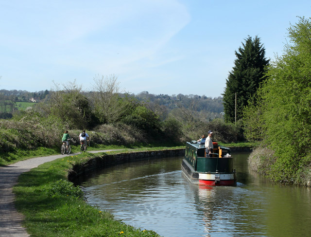
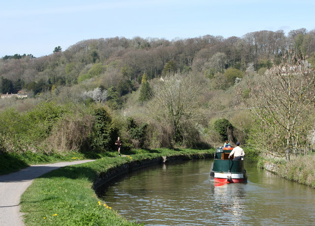
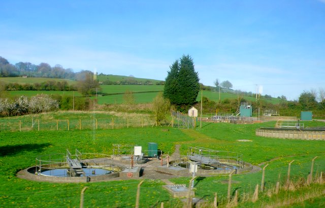
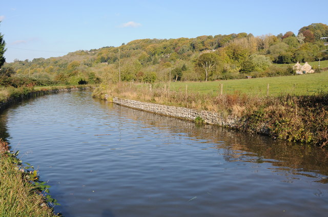
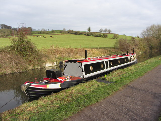
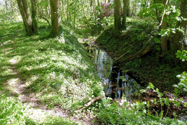
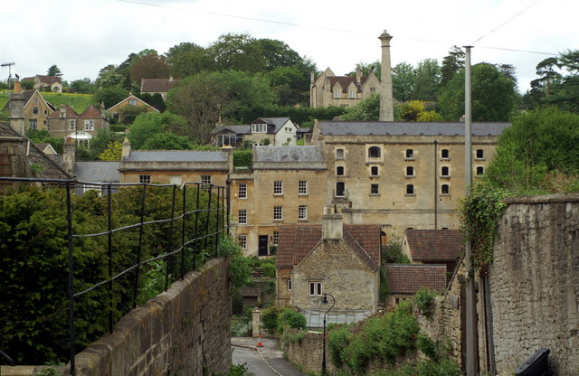
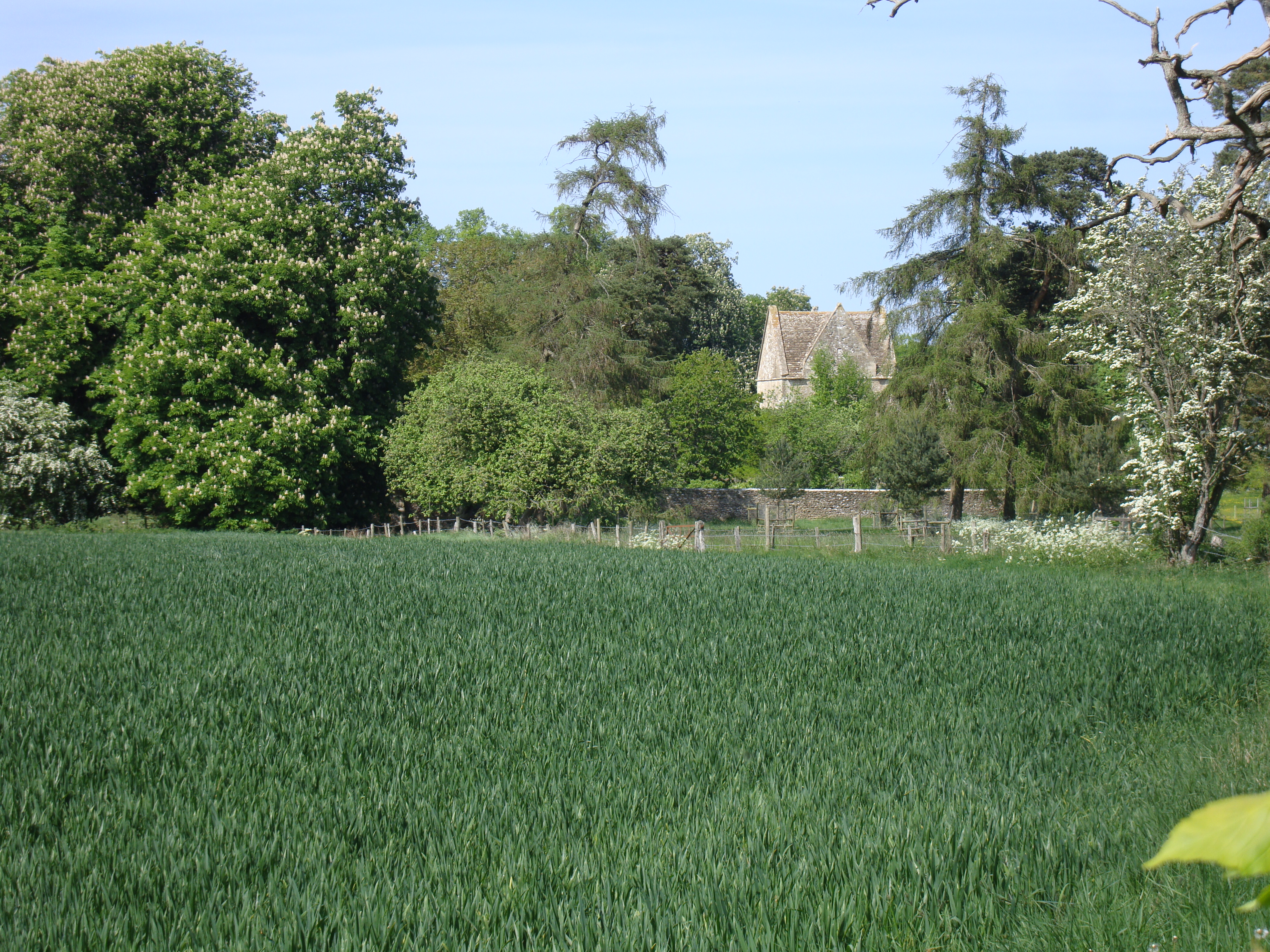
The village is characterized by its charming stone-built houses and historic buildings, including the 12th-century Church of St. Peter. Surrounded by rolling hills and lush green fields, Freshford is a popular destination for outdoor enthusiasts. The River Frome runs through the village, providing opportunities for fishing and riverside walks.
Freshford has a strong sense of community, with various local amenities and organizations that bring residents together. These include a village shop and post office, a primary school, a community hall, and a cricket club. The village also hosts regular events and activities, such as the Freshford Village Festival and the Freshford Show, which showcase local talent and foster community spirit.
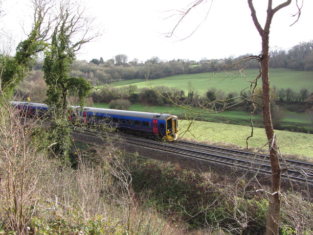
Transportation in Freshford is facilitated by a railway station that provides links to Bath, Bristol, and other nearby towns. The village is also well-connected to major road networks, with the A36 running nearby.
Overall, Freshford offers a charming rural lifestyle within close proximity to the city of Bath. With its scenic beauty, strong community spirit, and range of amenities, it is a highly sought-after location for both residents and visitors alike.
If you have any feedback on the listing, please let us know in the comments section below.
Freshford Images
Images are sourced within 2km of 51.340051/-2.314931 or Grid Reference ST7860. Thanks to Geograph Open Source API. All images are credited.


Freshford is located at Grid Ref: ST7860 (Lat: 51.340051, Lng: -2.314931)
Unitary Authority: Bath and North East Somerset
Police Authority: Avon and Somerset
What 3 Words
///spite.dawn.safely. Near Limpley Stoke, Wiltshire
Related Wikis
Freshford, Somerset
Freshford is a village and civil parish in the Avon valley 6 miles (10 km) south-east of Bath, in the county of Somerset, England. The parish has a population...

Limpley Stoke
Limpley Stoke is a village and civil parish in Wiltshire, England. It lies in the Avon valley between Bath and Freshford, and is both above and below the...
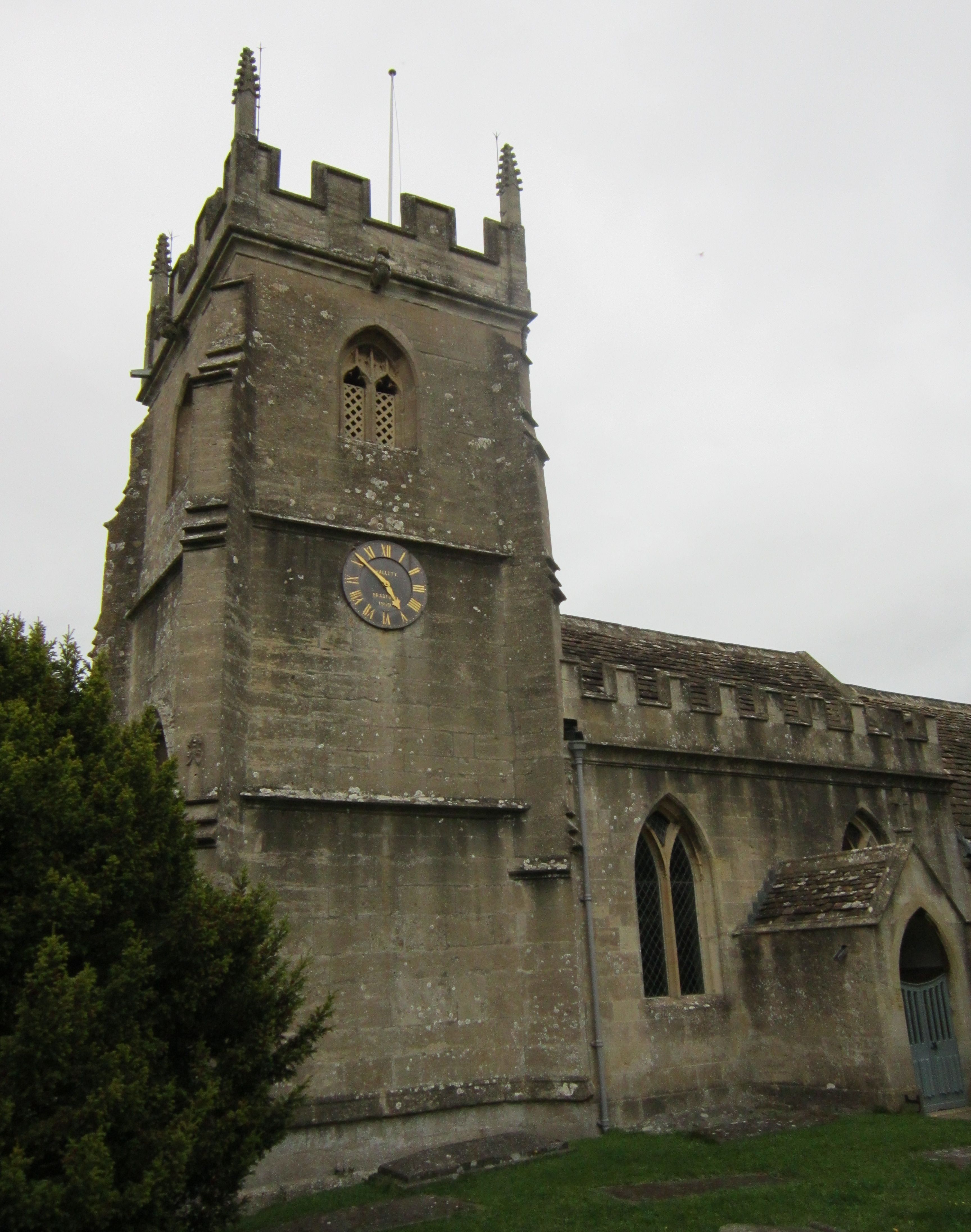
Church of St Peter, Freshford
The Anglican Church of St Peter in Freshford within the English county of Somerset dates from the 15th century. It is a Grade II* listed building.Parts...

Freshford Manor
Freshford Manor is an early 18th century house in Freshford, Somerset, England. It is a Grade II* listed building.The two-storey Cotswold stone house,...
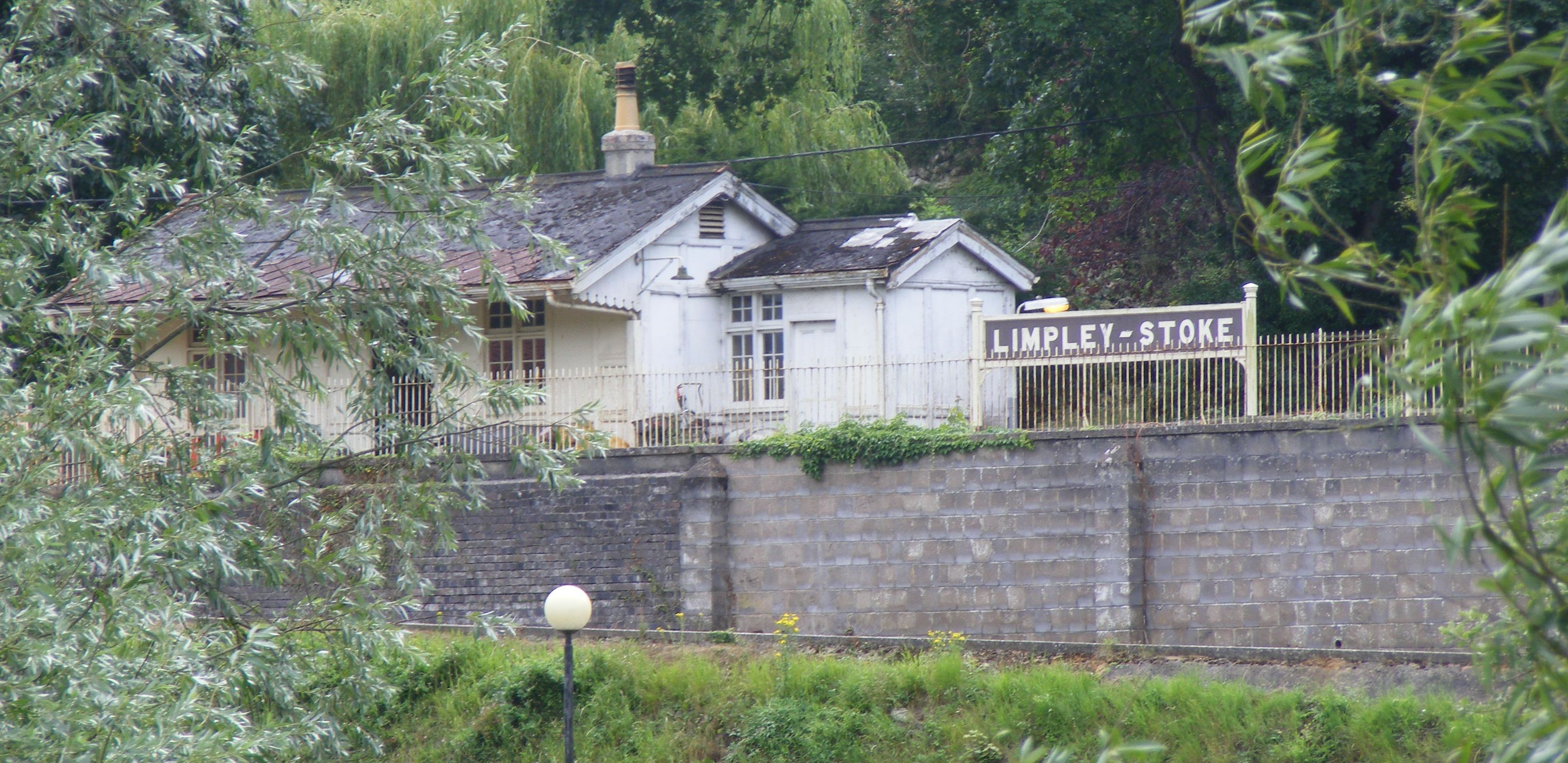
Limpley Stoke railway station
Limpley Stoke railway station is a former railway station in Limpley Stoke, Wiltshire, England, UK. The station was originally started by the Wilts, Somerset...
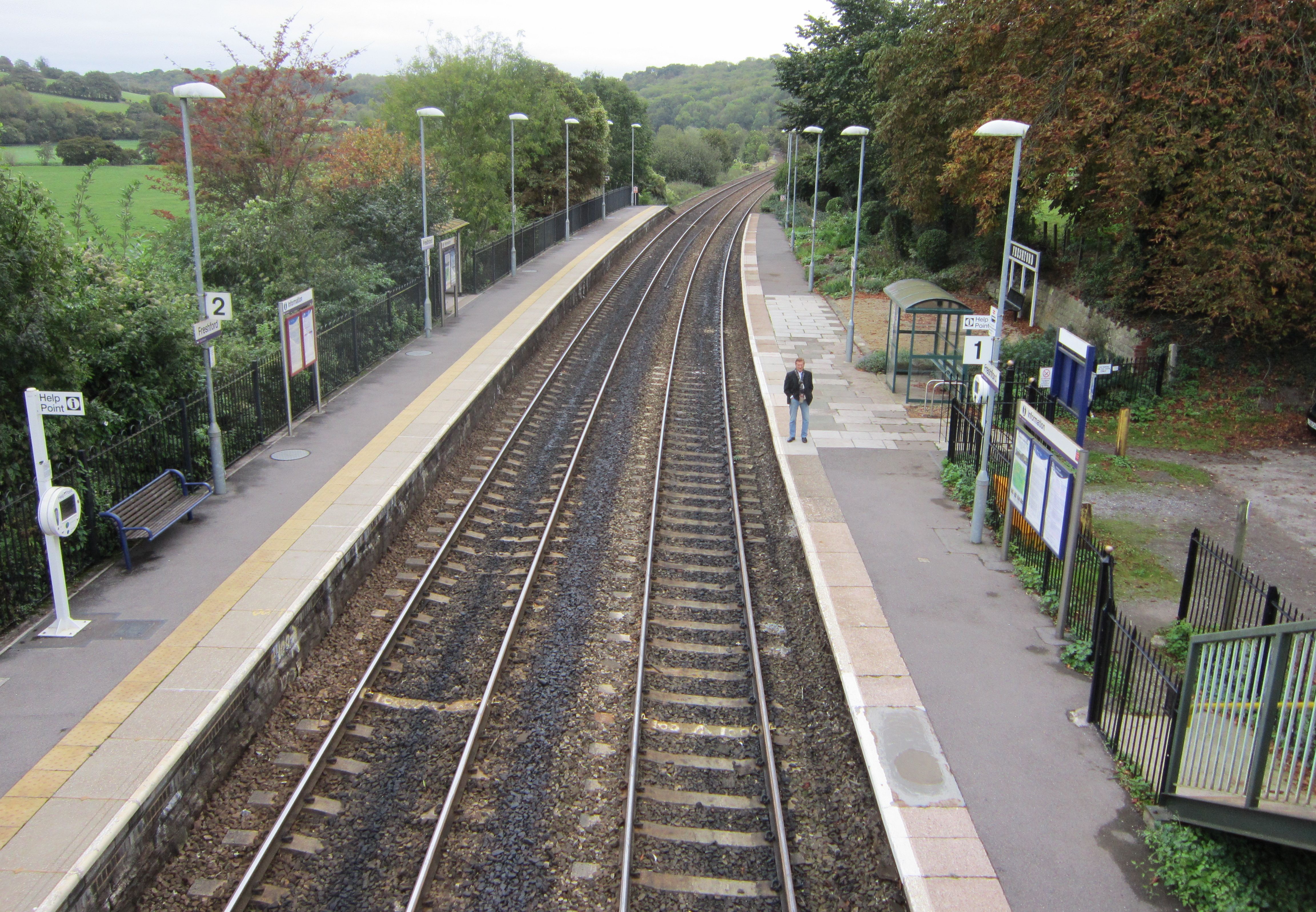
Freshford railway station
Freshford railway station is a railway station serving the village of Freshford, Bath and North East Somerset, England. It also serves the nearby village...
Hinton Priory
Hinton Priory was a Carthusian monastery in northeast Somerset, England, from 1232 until 1539. == History == The priory was one of the ten medieval Carthusian...

Friary, Somerset
The Friary is a small hamlet outside the English village of Freshford, about 6 miles (10 km) south of Bath, Somerset. Although closer to Freshford it lies...
Nearby Amenities
Located within 500m of 51.340051,-2.314931Have you been to Freshford?
Leave your review of Freshford below (or comments, questions and feedback).