Paradise Copse

Wood, Forest in Sussex Chichester

England

Paradise Copse

The new Henry Warren Memorial Hall This hall was opened on the edge of Nyewood in December 2022 replacing the original hall in the centre of the village which had fallen into disrepair.


<a href="https://www.geograph.org.uk/photo/8592">SU8021 : "Henry Warren" Village Hall, Nyewood.</a>
<a href="https://www.geograph.org.uk/photo/6486651">SU8021 : The Henry Warren Hall, now derelict</a>
The new Henry Warren Memorial Hall Credit: Martyn Pattison

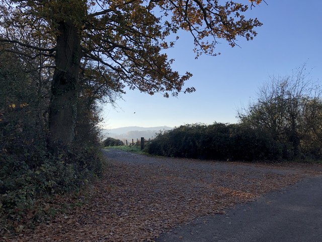
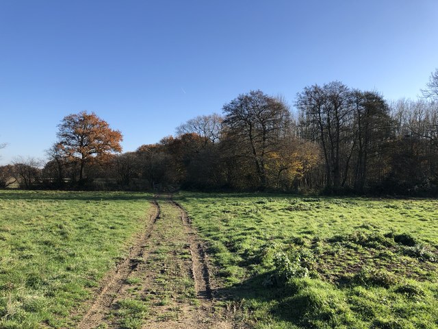
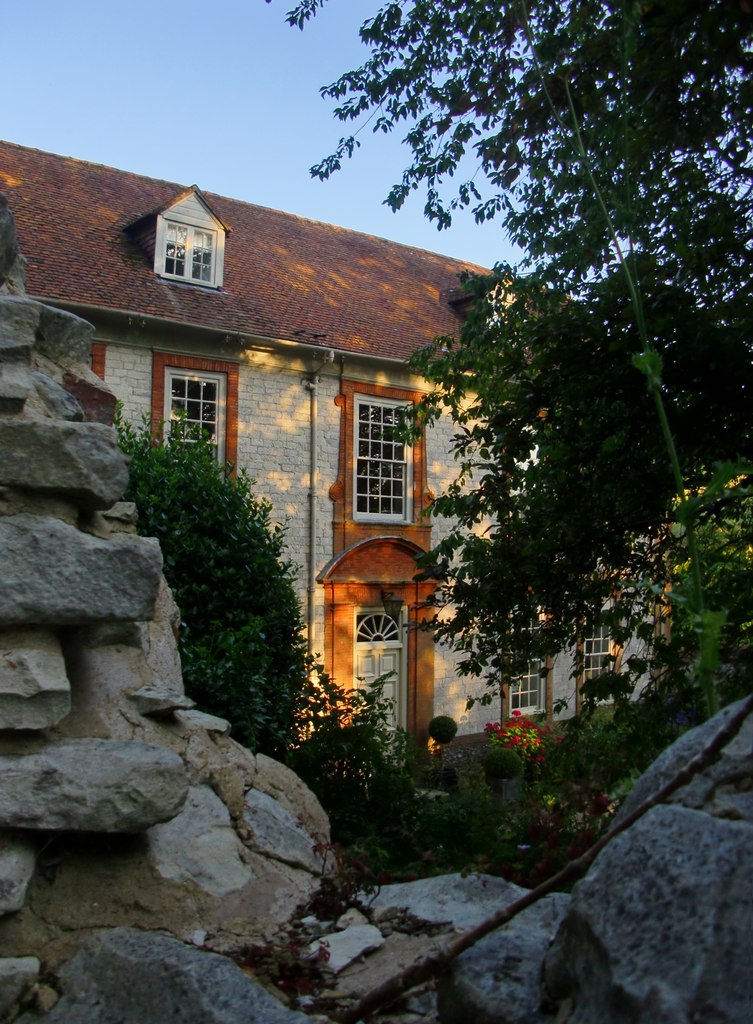
Paradise Copse is a picturesque woodland located in Sussex, England. Stretching across an area of approximately 100 acres, this enchanting forest is a haven for nature lovers and outdoor enthusiasts. The copse is situated within the South Downs National Park, adding to its allure and ecological significance.

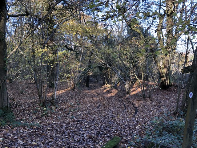
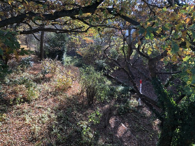
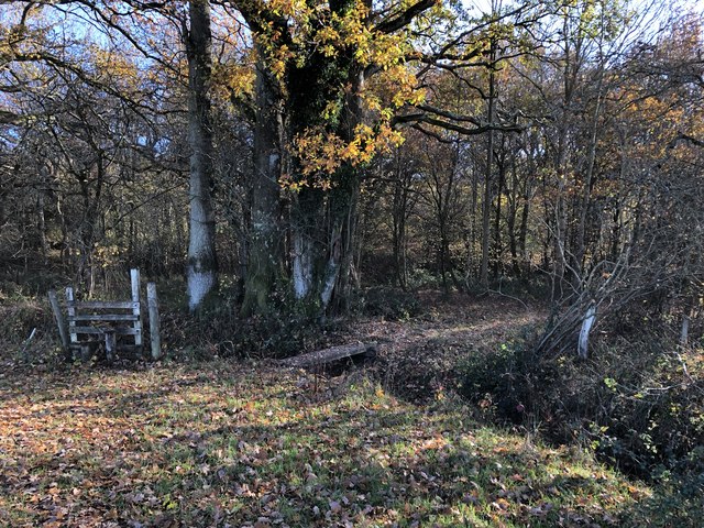
The woodland is predominantly composed of native tree species, including oak, beech, and birch trees. Their towering canopies provide a soothing shade during summer months, while their vibrant foliage adds a burst of color to the landscape during autumn. The forest floor is adorned with a diverse array of wildflowers, creating a stunning tapestry of colors and scents.

Paradise Copse is home to a rich variety of wildlife, making it a popular destination for birdwatchers and animal enthusiasts. Visitors may spot a wide range of bird species, such as woodpeckers, song thrushes, and tawny owls. Squirrels and rabbits can often be seen darting through the undergrowth, while elusive creatures like badgers and foxes may be glimpsed during quieter moments.

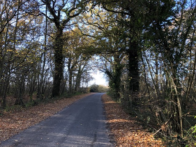
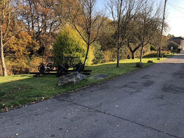
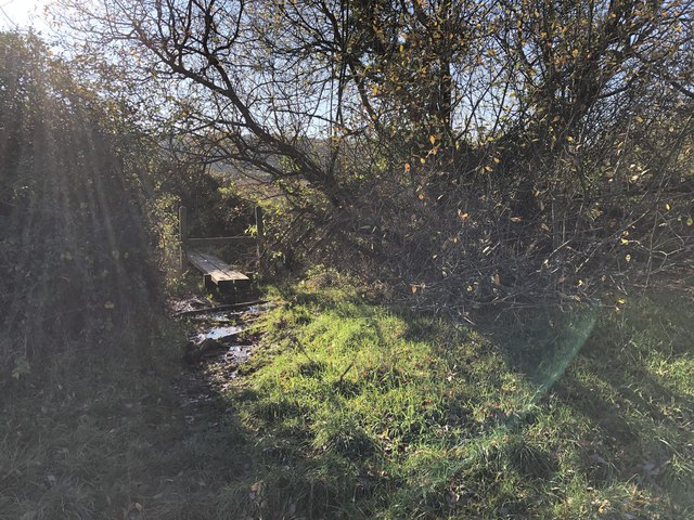
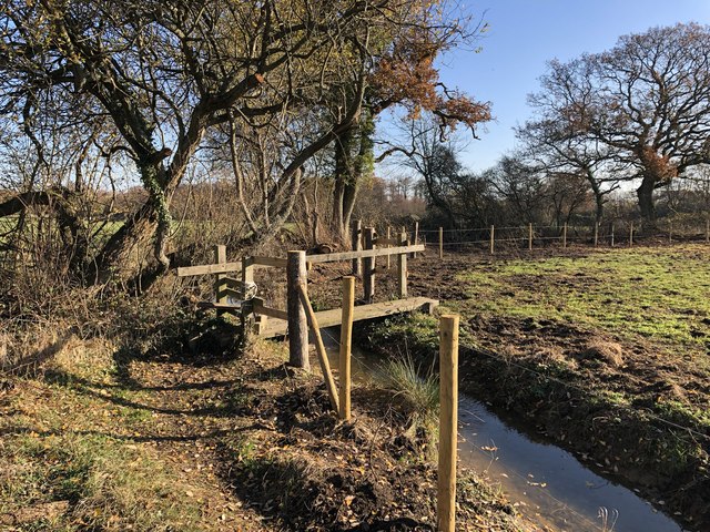
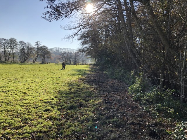
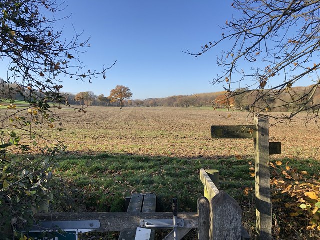
The copse offers several well-marked trails, allowing visitors to explore its beauty at their own pace. These trails wind through the woodland, offering glimpses of hidden ponds and babbling brooks along the way. The peaceful atmosphere and stunning natural surroundings make Paradise Copse a perfect destination for walking, picnicking, and immersing oneself in the serenity of nature.

Overall, Paradise Copse is a captivating woodland that showcases the beauty and biodiversity of Sussex. Its tranquil ambiance, diverse wildlife, and well-maintained trails make it a must-visit destination for nature enthusiasts seeking solace and connection with the natural world.

If you have any feedback on the listing, please let us know in the comments section below.

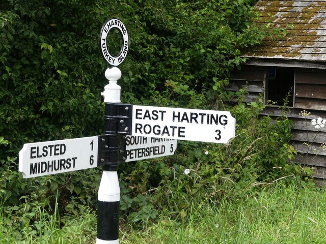
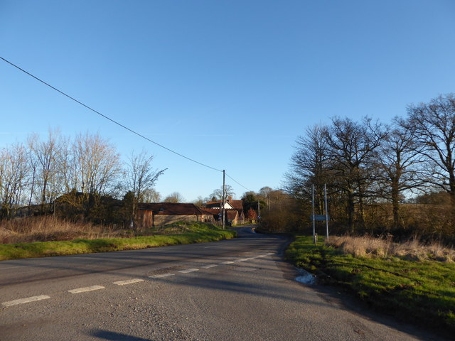
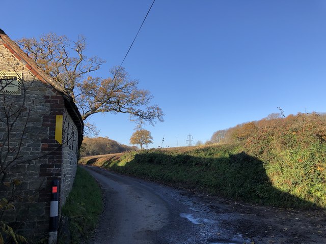
Paradise Copse Images

Images are sourced within 2km of 50.97513/-0.84583847 or Grid Reference SU8120. Thanks to Geograph Open Source API. All images are credited.

The new Henry Warren Memorial Hall This hall was opened on the edge of Nyewood in December 2022 replacing the original hall in the centre of the village which had fallen into disrepair.


<a href="https://www.geograph.org.uk/photo/8592">SU8021 : "Henry Warren" Village Hall, Nyewood.</a>
<a href="https://www.geograph.org.uk/photo/6486651">SU8021 : The Henry Warren Hall, now derelict</a>
The new Henry Warren Memorial Hall
This hall was opened on the edge of Nyewood in December 2022 replacing the original hall in the centre of the village which had fallen into disrepair. SU8021 : "Henry Warren" Village Hall, Nyewood. SU8021 : The Henry Warren Hall, now derelict
Direction Sign – Signpost on Elsted Road, Harting Located on the southwest side of the crossroads of Elsted Road and Hill Lane in Harting parish. 3 arms and annulus finial. See also <a title="https://www.geograph.org.uk/photo/2163747" href="https://www.geograph.org.uk/photo/2163747">Link</a>.

Milestone Society National ID: SX_SU7919C
Direction Sign – Signpost on Elsted Road, Harting
Located on the southwest side of the crossroads of Elsted Road and Hill Lane in Harting parish. 3 arms and annulus finial. See also Link. Milestone Society National ID: SX_SU7919C
2016: a year on Geography (Day 63) Road junction near Nyweood
2016: a year on Geography (Day 63)
Road junction near Nyweood
Barn beside Dumpford Lane Heading west on Dumpford Lane close to Tygalls Farm.
Barn beside Dumpford Lane
Heading west on Dumpford Lane close to Tygalls Farm.
Track through Clarefield Copse The track as it heads north from Dumpford Lane. It is also a public footpath.
Track through Clarefield Copse
The track as it heads north from Dumpford Lane. It is also a public footpath.
Clarefield Copse Heading westwards on Dumpford Lane as it passes through Clarefield Copse.
Clarefield Copse
Heading westwards on Dumpford Lane as it passes through Clarefield Copse.
Track beside Clarefield Copse The track leaving Dumpford Lane with distant views of the South Downs.
Track beside Clarefield Copse
The track leaving Dumpford Lane with distant views of the South Downs.
Dumpford Lane near Nyewood Heading westwards on Dumpford Lane and approaching Nyewood.
Dumpford Lane near Nyewood
Heading westwards on Dumpford Lane and approaching Nyewood.
Old railway line Looking down over the former Petersfield to Midhurst railway line viewed from the railway bridge in Nyewood.
Old railway line
Looking down over the former Petersfield to Midhurst railway line viewed from the railway bridge in Nyewood.
Site of former railway station The site of the former Rogate railway station on the old Petersfield to Midhurst line.
Site of former railway station
The site of the former Rogate railway station on the old Petersfield to Midhurst line.
Footpath between houses The public footpath leaves Nyewood heading towards Elsted.
Footpath between houses
The public footpath leaves Nyewood heading towards Elsted.
Footbridge over muddy area A footbridge on the public footpath heading towards Elsted.
Footbridge over muddy area
A footbridge on the public footpath heading towards Elsted.
New Footbridge The public footpath passes through an area where a new footbridge and fence posts seem to have been recently installed and the stream cleared.
New Footbridge
The public footpath passes through an area where a new footbridge and fence posts seem to have been recently installed and the stream cleared.
Passing Great Plantation On the public footpath heading towards Elsted and passing the woodland known as Great Plantation.
Passing Great Plantation
On the public footpath heading towards Elsted and passing the woodland known as Great Plantation.
Fields near Woodhouse Farm Looking west at the point where the public footpath crosses between fields.
Fields near Woodhouse Farm
Looking west at the point where the public footpath crosses between fields.
Woodhouse Farm Passing through the farm on the public footpath.
Woodhouse Farm
Passing through the farm on the public footpath.
Approaching Woodland Heading away from Woodhouse Farm and nearing woodland marked on the OS Map as The Hassocks.
Approaching Woodland
Heading away from Woodhouse Farm and nearing woodland marked on the OS Map as The Hassocks.
Redundant Stile The footpath into the woodland crosses a small footbridge without any need to have climbed over the nearby stile.
Redundant Stile
The footpath into the woodland crosses a small footbridge without any need to have climbed over the nearby stile.
Show me another place!

Paradise Copse is located at Grid Ref: SU8120 (Lat: 50.97513, Lng: -0.84583847)

Administrative County: West Sussex

District: Chichester

Police Authority: Sussex

What 3 Words

///treatment.apple.northward. Near South Harting, West Sussex

Related Wikis

Elsted

Elsted is a village, Anglican parish and former civil parish, now in the civil parish of Elsted and Treyford, in the Chichester district of West Sussex...

Elsted and Treyford

Elsted and Treyford is a civil parish in the Chichester district of West Sussex, west of Midhurst. It contains the settlements of Elsted, Elsted Marsh...

East Harting

East Harting is a hamlet in the Chichester district of West Sussex, England. It lies on the South Harting to Elsted road 4 miles (6.4 km) southeast of...

Rogate railway station

Rogate railway station, also known variously as Rogate for Harting, and Rogate and Harting, supposedly served these two villages in the county of West...

Beacon Hill, West Sussex

Beacon Hill, also known as Harting Beacon, is a hillfort on the South Downs, in the county of West Sussex in southern England. The hillfort is located...

Nyewood

Nyewood is a hamlet in the Chichester district of West Sussex, England situated in the Western Rother valley. The village is on an unclassified road between...

Rook Clift

Rook Clift is a 10.7-hectare (26-acre) biological Site of Special Scientific Interest east of South Harting in West Sussex. It is also a Special Area of...

Treyford

Treyford is a hamlet, Anglican parish and former civil parish, now in the civil parish of Elsted and Treyford, in the Chichester district of West Sussex...

Nearby Amenities

Located within 500m of 50.97513,-0.84583847
The data included in this document is from www.openstreetmap.org. The data is made available under ODbL.

Have you been to Paradise Copse?

Leave your review of Paradise Copse below (or comments, questions and feedback).