Tobridge Copse
Wood, Forest in Hampshire Hart
England
Tobridge Copse
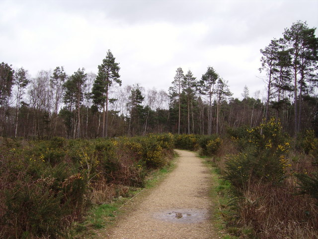
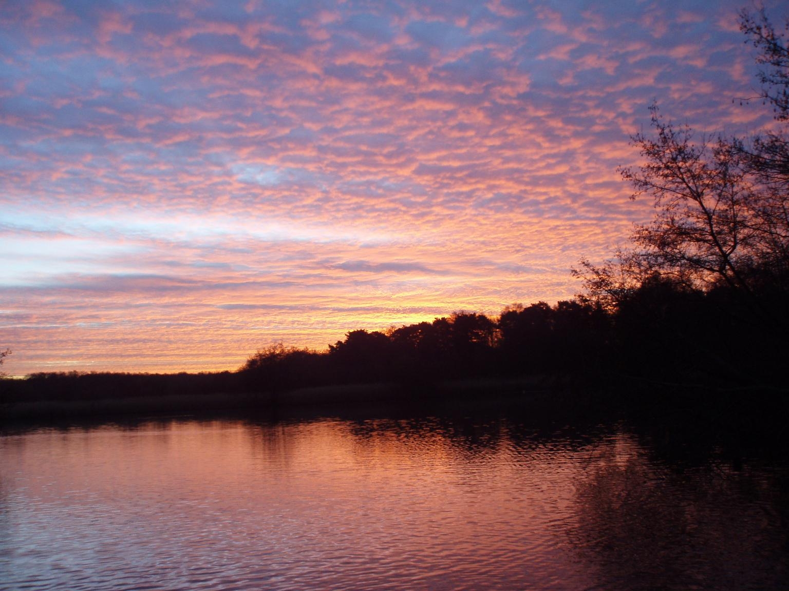
Tobridge Copse, located in Hampshire, is a picturesque woodland area known for its natural beauty and diverse ecosystem. Covering an area of approximately 100 acres, this forest offers a tranquil retreat for nature enthusiasts and outdoor adventurers alike.
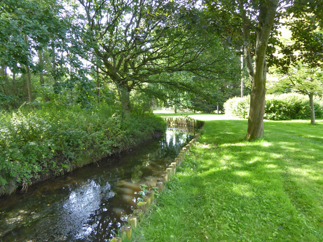
The copse is predominantly composed of native broadleaf trees, including oak, beech, and ash, which create a dense canopy overhead. These trees provide a rich habitat for a wide array of wildlife, such as deer, foxes, and various bird species, making it a popular destination for birdwatchers and nature photographers.
The forest floor is carpeted with a vibrant array of wildflowers, ferns, and mosses, adding to the copse's enchanting charm. Walking trails wind their way through the woods, allowing visitors to explore the various nooks and crannies of the forest at their own pace. The trails are well-maintained and suitable for both leisurely strolls and more vigorous hikes.
Tobridge Copse is also home to a small stream that meanders through the forest, adding to its natural allure. The gentle babbling of the water provides a soothing soundtrack as visitors immerse themselves in the peaceful surroundings.
Throughout the year, the copse undergoes seasonal transformations, with vibrant autumn colors and delicate spring blossoms providing ever-changing scenery. In the summer, the dense tree cover offers welcome shade, while in winter, the copse becomes a winter wonderland, with frosted branches and a serene atmosphere.
Overall, Tobridge Copse in Hampshire is a haven of tranquility and natural beauty, offering visitors a chance to connect with nature and enjoy the serenity of the woodland environment.
If you have any feedback on the listing, please let us know in the comments section below.
Tobridge Copse Images
Images are sourced within 2km of 51.301591/-0.83764224 or Grid Reference SU8156. Thanks to Geograph Open Source API. All images are credited.


Tobridge Copse is located at Grid Ref: SU8156 (Lat: 51.301591, Lng: -0.83764224)
Administrative County: Hampshire
District: Hart
Police Authority: Hampshire
What 3 Words
///parting.hydration.submerged. Near Fleet, Hampshire
Nearby Locations
Related Wikis
Elvetham Heath
Elvetham Heath is a residential area and civil parish, containing around 2000 homes on a 311-acre (1.26 km2) site, just outside the north western boundary...

Elvetham Heath LNR
Elvetham Heath LNR is a 20-hectare (49-acre) local nature reserve in Elvetham Heath in Hampshire. It is owned by Elvetham Heath Developments (on a 999...
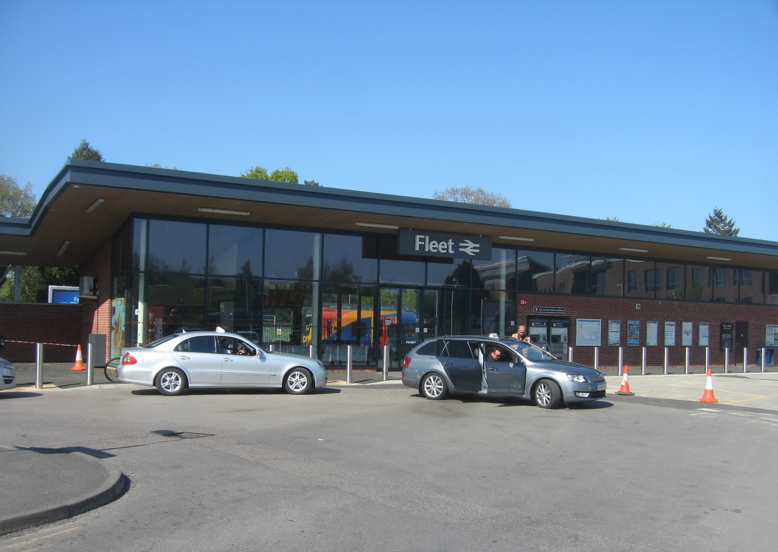
Fleet railway station
Fleet railway station serves the town of Fleet in Hampshire, England. It is situated on the South West Main Line, which has four tracks through the station...
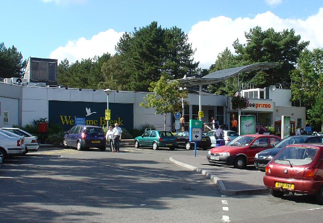
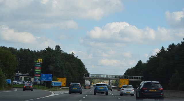
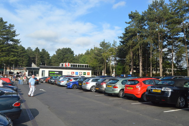
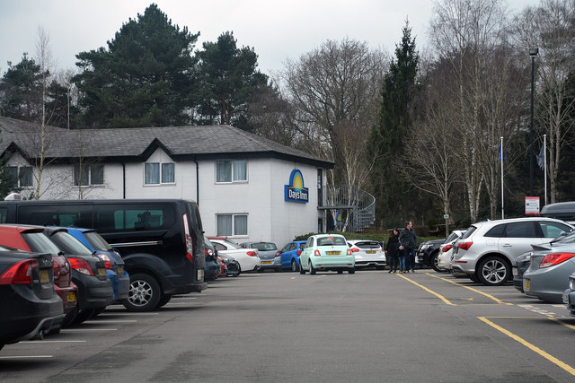
Fleet services
Fleet Services is a motorway service station on the M3 near Fleet. It is operated by Welcome Break. == History == Opened in 1973, it was originally built...

Ancells Farm
Ancells Farm is a 12-hectare (30-acre) nature reserve in Fleet in Hampshire. It is managed by the Hampshire and Isle of Wight Wildlife Trust. It is part...

Minley
Minley is a slightly depopulated rural, well-wooded village in the Hart District of Hampshire, England. It has the only church of the C of E ecclesiastical...
Fleet Pond
Fleet Pond is a 48.3-hectare (119-acre) biological Site of Special Scientific Interest in Fleet in Hampshire. It is also a Local Nature Reserve. ��2�...

Foxlease and Ancells Meadows
Foxlease and Ancells Meadows is a 68.8-hectare (170-acre) biological Site of Special Scientific Interest on the western outskirts of Farnborough in Hampshire...
Nearby Amenities
Located within 500m of 51.301591,-0.83764224Have you been to Tobridge Copse?
Leave your review of Tobridge Copse below (or comments, questions and feedback).