Little Tomlins Copse

Wood, Forest in Sussex Chichester

England

Little Tomlins Copse

Rogate pumpkin patch
Rogate pumpkin patch Credit: Liam mansfield

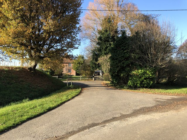
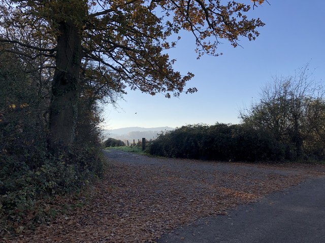
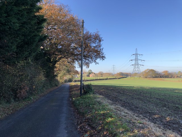
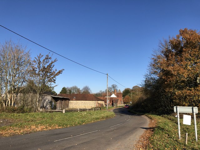
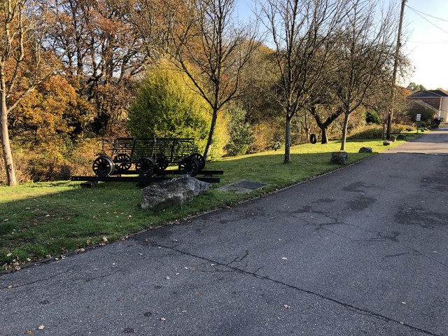
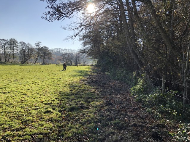
Little Tomlins Copse is a picturesque woodland located in the county of Sussex, England. Situated on the outskirts of the village of Tomlins, this small but enchanting copse covers an area of approximately 10 acres. Surrounded by rolling hills and meadows, it offers a tranquil retreat for nature enthusiasts and those seeking respite from the hustle and bustle of everyday life.

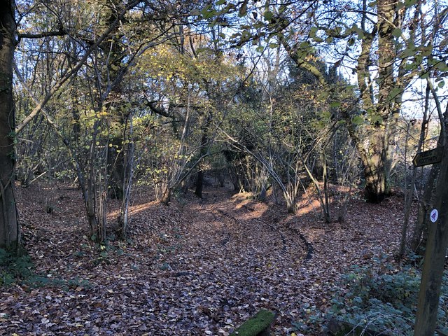
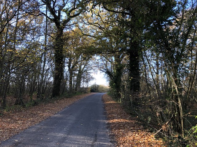
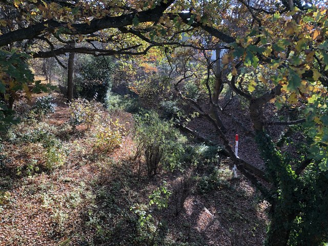
The copse is predominantly composed of native deciduous trees, including oak, birch, and beech, creating a rich tapestry of colors throughout the year. In spring, the forest floor comes alive with a carpet of bluebells, creating a breathtaking sight and attracting visitors from far and wide. As summer approaches, the canopy provides welcome shade, while the melodious songs of various bird species fill the air.

Little Tomlins Copse is also home to a diverse range of wildlife. Squirrels frolic among the branches, while foxes and badgers roam the forest floor under the cover of darkness. The copse is a haven for birdwatchers, with numerous species, including woodpeckers, thrushes, and warblers, making it their home.

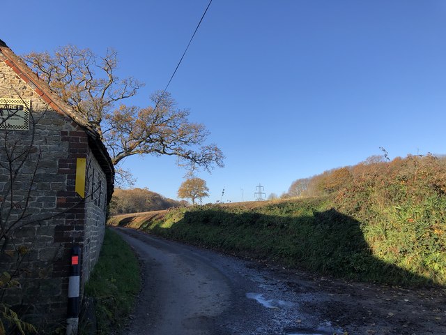
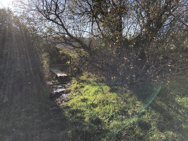
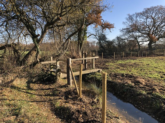
Visitors to Little Tomlins Copse can explore the network of well-maintained footpaths that wind through the woodland, allowing them to immerse themselves in its natural beauty. A small picnic area provides the perfect spot to rest and enjoy a packed lunch while taking in the serene surroundings.

Overall, Little Tomlins Copse is a hidden gem in the heart of Sussex, offering a tranquil escape for nature lovers and an opportunity to reconnect with the wonders of the natural world.

If you have any feedback on the listing, please let us know in the comments section below.

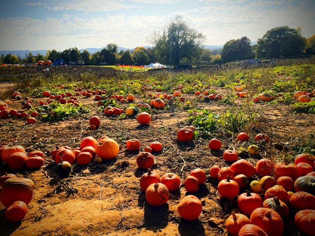
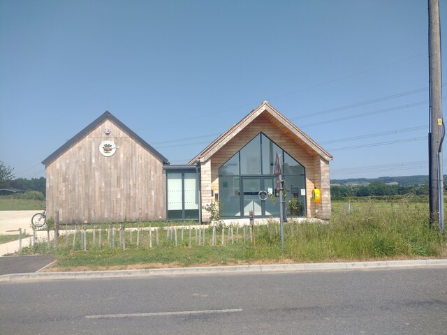
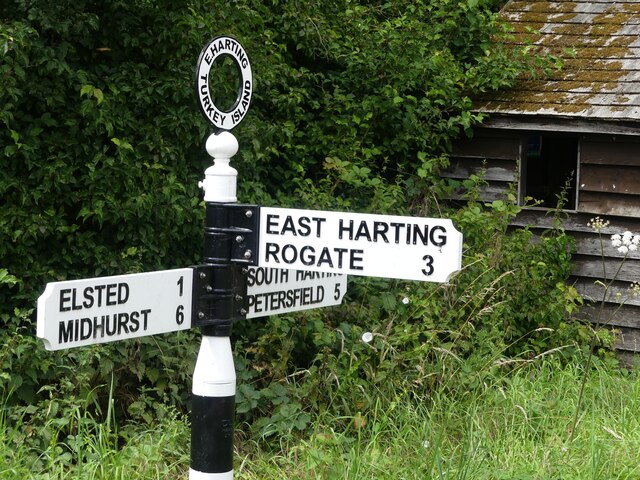
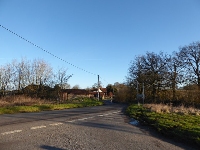
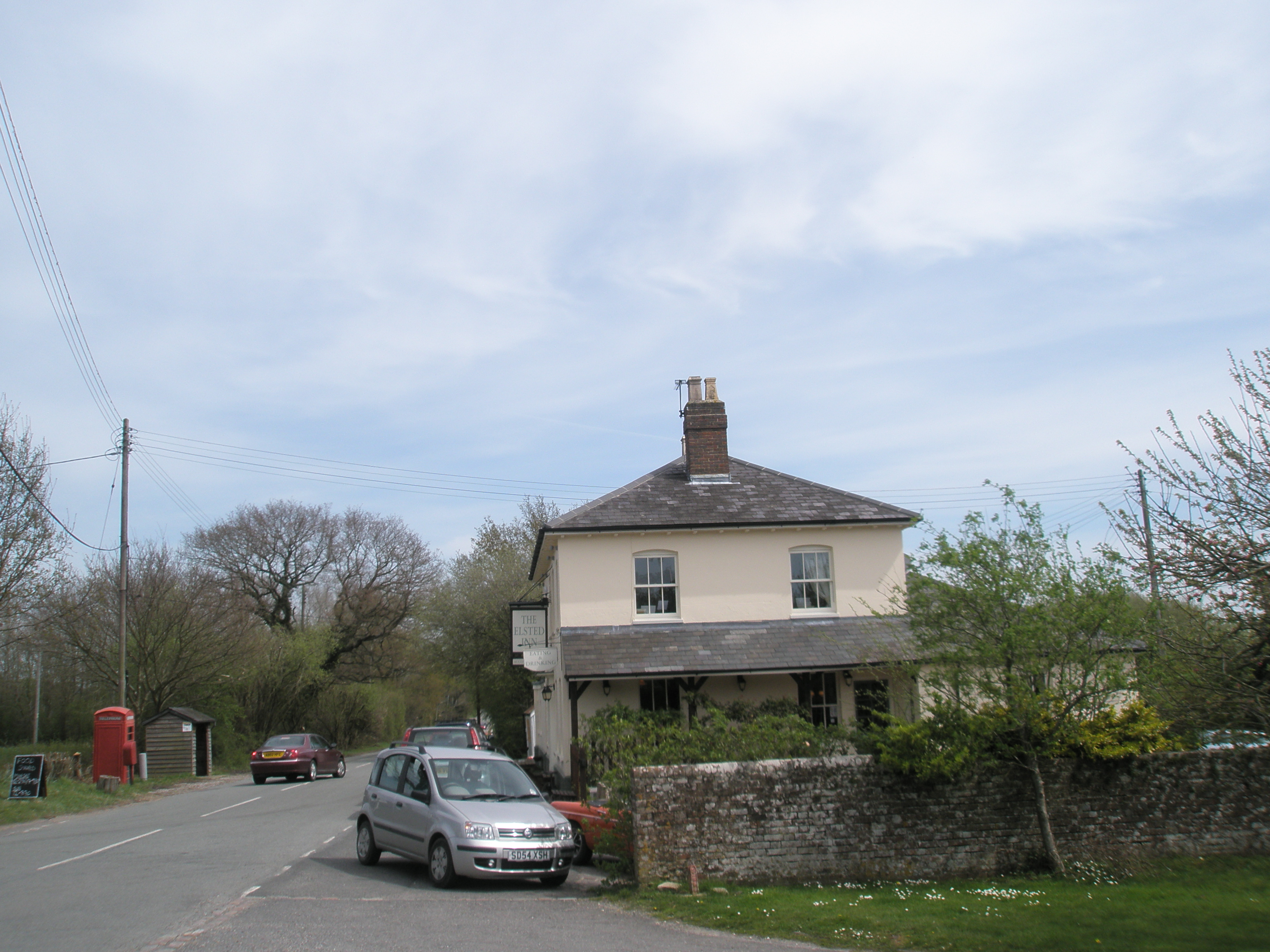
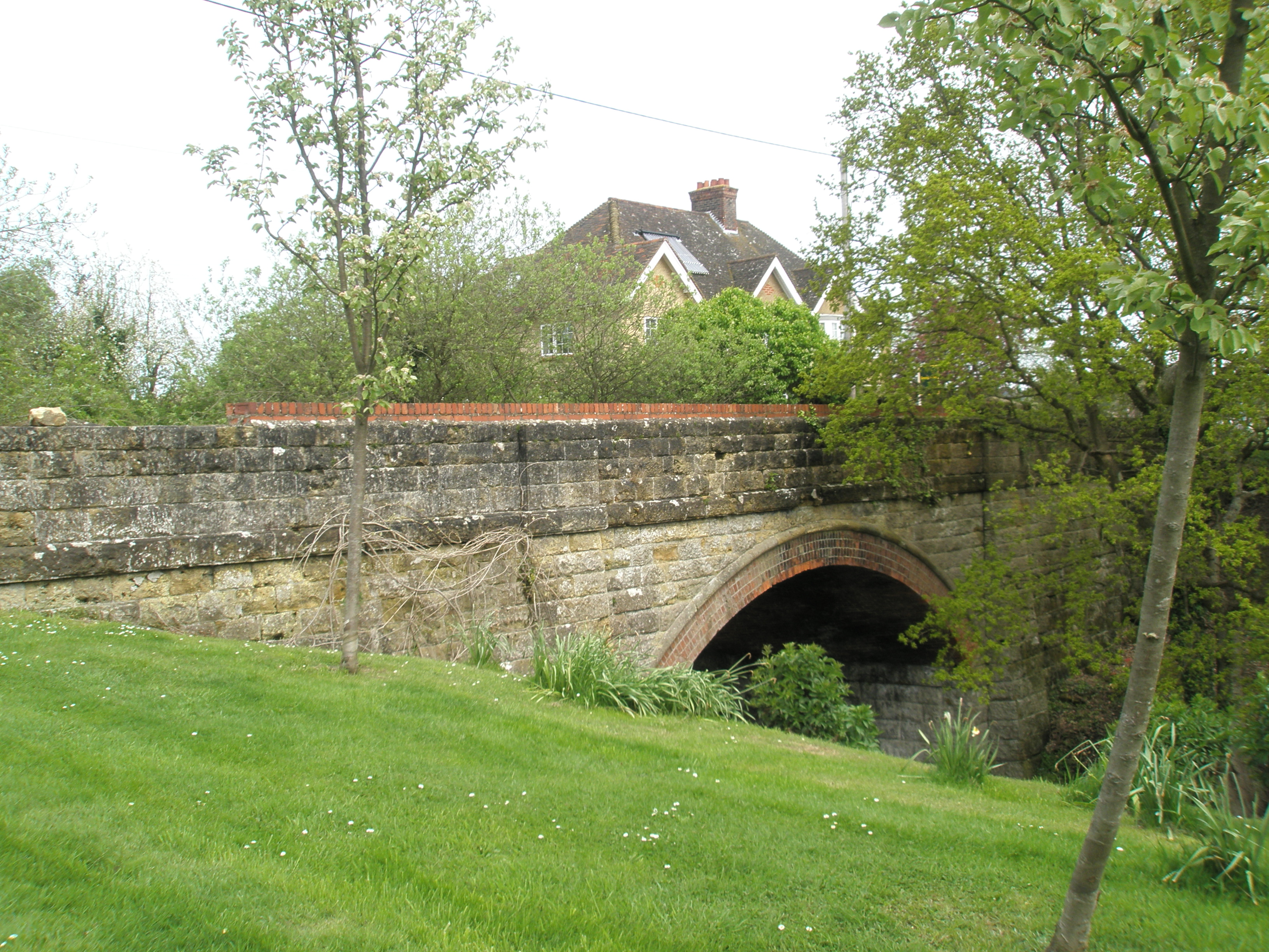
Little Tomlins Copse Images

Images are sourced within 2km of 50.976642/-0.84594344 or Grid Reference SU8120. Thanks to Geograph Open Source API. All images are credited.

Rogate pumpkin patch
The new Henry Warren Memorial Hall This hall was opened on the edge of Nyewood in December 2022 replacing the original hall in the centre of the village which had fallen into disrepair.


<a href="https://www.geograph.org.uk/photo/8592">SU8021 : "Henry Warren" Village Hall, Nyewood.</a>
<a href="https://www.geograph.org.uk/photo/6486651">SU8021 : The Henry Warren Hall, now derelict</a>
The new Henry Warren Memorial Hall
This hall was opened on the edge of Nyewood in December 2022 replacing the original hall in the centre of the village which had fallen into disrepair. SU8021 : "Henry Warren" Village Hall, Nyewood. SU8021 : The Henry Warren Hall, now derelict
Direction Sign – Signpost on Elsted Road, Harting Located on the southwest side of the crossroads of Elsted Road and Hill Lane in Harting parish. 3 arms and annulus finial. See also <a title="https://www.geograph.org.uk/photo/2163747" href="https://www.geograph.org.uk/photo/2163747">Link</a>.

Milestone Society National ID: SX_SU7919C
Direction Sign – Signpost on Elsted Road, Harting
Located on the southwest side of the crossroads of Elsted Road and Hill Lane in Harting parish. 3 arms and annulus finial. See also Link. Milestone Society National ID: SX_SU7919C
2016: a year on Geography (Day 63) Road junction near Nyweood
2016: a year on Geography (Day 63)
Road junction near Nyweood
Entrance to Dumpford Park Farm Passing the entrance to the farm beside Dumpford Lane.
Entrance to Dumpford Park Farm
Passing the entrance to the farm beside Dumpford Lane.
Track to New Barn Viewed from the starting point on Dumpford Lane.
Track to New Barn
Viewed from the starting point on Dumpford Lane.
Barn beside Dumpford Lane Heading west on Dumpford Lane close to Tygalls Farm.
Barn beside Dumpford Lane
Heading west on Dumpford Lane close to Tygalls Farm.
Track through Clarefield Copse The track as it heads north from Dumpford Lane. It is also a public footpath.
Track through Clarefield Copse
The track as it heads north from Dumpford Lane. It is also a public footpath.
Clarefield Copse Heading westwards on Dumpford Lane as it passes through Clarefield Copse.
Clarefield Copse
Heading westwards on Dumpford Lane as it passes through Clarefield Copse.
Track beside Clarefield Copse The track leaving Dumpford Lane with distant views of the South Downs.
Track beside Clarefield Copse
The track leaving Dumpford Lane with distant views of the South Downs.
Dumpford Lane near Nyewood Heading westwards on Dumpford Lane and approaching Nyewood.
Dumpford Lane near Nyewood
Heading westwards on Dumpford Lane and approaching Nyewood.
Sandilands near Nyewood Viewed from the road junction with Dumpford Lane.
Sandilands near Nyewood
Viewed from the road junction with Dumpford Lane.
Old railway line Looking down over the former Petersfield to Midhurst railway line viewed from the railway bridge in Nyewood.
Old railway line
Looking down over the former Petersfield to Midhurst railway line viewed from the railway bridge in Nyewood.
Site of former railway station The site of the former Rogate railway station on the old Petersfield to Midhurst line.
Site of former railway station
The site of the former Rogate railway station on the old Petersfield to Midhurst line.
Footpath between houses The public footpath leaves Nyewood heading towards Elsted.
Footpath between houses
The public footpath leaves Nyewood heading towards Elsted.
Footbridge over muddy area A footbridge on the public footpath heading towards Elsted.
Footbridge over muddy area
A footbridge on the public footpath heading towards Elsted.
New Footbridge The public footpath passes through an area where a new footbridge and fence posts seem to have been recently installed and the stream cleared.
New Footbridge
The public footpath passes through an area where a new footbridge and fence posts seem to have been recently installed and the stream cleared.
Passing Great Plantation On the public footpath heading towards Elsted and passing the woodland known as Great Plantation.
Passing Great Plantation
On the public footpath heading towards Elsted and passing the woodland known as Great Plantation.
Show me another place!

Little Tomlins Copse is located at Grid Ref: SU8120 (Lat: 50.976642, Lng: -0.84594344)

Administrative County: West Sussex

District: Chichester

Police Authority: Sussex

What 3 Words

///hairstyle.trap.capillary. Near South Harting, West Sussex

Related Wikis

Elsted

Elsted is a village, Anglican parish and former civil parish, now in the civil parish of Elsted and Treyford, in the Chichester district of West Sussex...

Elsted and Treyford

Elsted and Treyford is a civil parish in the Chichester district of West Sussex, west of Midhurst. It contains the settlements of Elsted, Elsted Marsh...

East Harting

East Harting is a hamlet in the Chichester district of West Sussex, England. It lies on the South Harting to Elsted road 4 miles (6.4 km) southeast of...

Rogate railway station

Rogate railway station, also known variously as Rogate for Harting, and Rogate and Harting, supposedly served these two villages in the county of West...

Nyewood

Nyewood is a hamlet in the Chichester district of West Sussex, England situated in the Western Rother valley. The village is on an unclassified road between...

Beacon Hill, West Sussex

Beacon Hill, also known as Harting Beacon, is a hillfort on the South Downs, in the county of West Sussex in southern England. The hillfort is located...

Elsted railway station

Elsted railway station served the village of Elsted in the county of West Sussex in England. The village itself was a mile away to the south-west. The...

Rook Clift

Rook Clift is a 10.7-hectare (26-acre) biological Site of Special Scientific Interest east of South Harting in West Sussex. It is also a Special Area of...

Nearby Amenities

Located within 500m of 50.976642,-0.84594344
Landuse: farm
Note Retag: CS #48756035
Lat/Long: 50.9791968/-0.8499004
The data included in this document is from www.openstreetmap.org. The data is made available under ODbL.

Have you been to Little Tomlins Copse?

Leave your review of Little Tomlins Copse below (or comments, questions and feedback).