Cooksland Hanger

Wood, Forest in Sussex Chichester

England

Cooksland Hanger

Fields beside Dumpford Lane The fields beside Dumpford Lane with distant views of the South Downs.
Fields beside Dumpford Lane Credit: Chris Thomas-Atkin

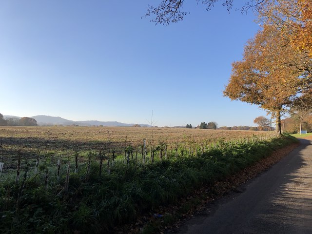
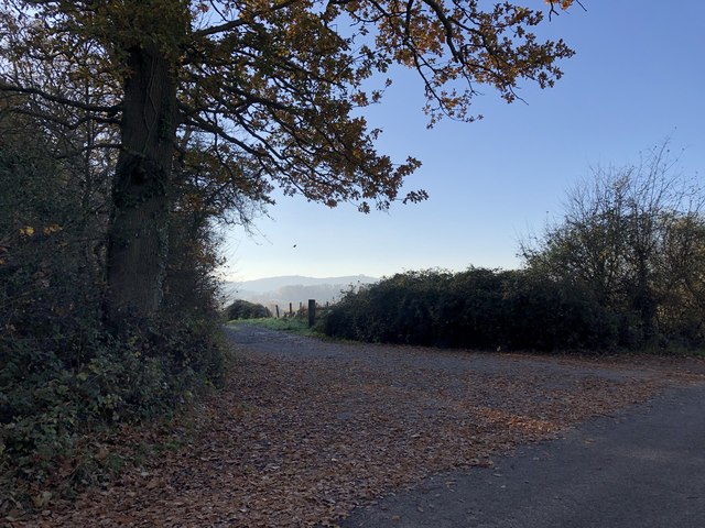
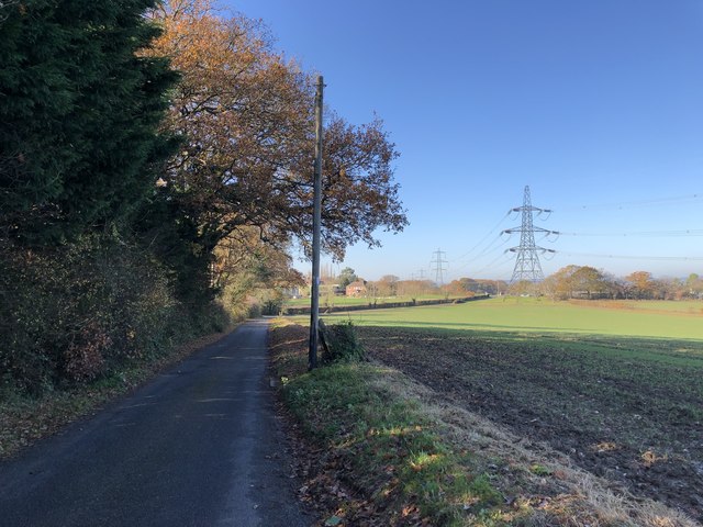
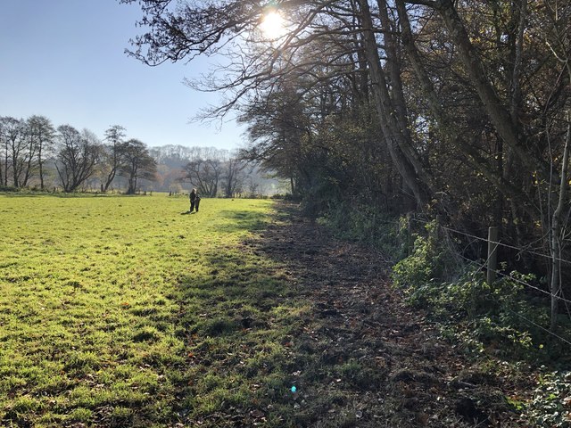
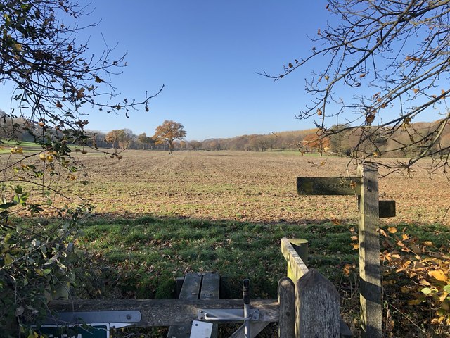
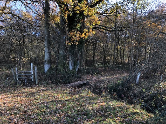
Cooksland Hanger is a dense woodland located in Sussex, England. It is a part of the larger Sussex Weald, which is known for its ancient woodlands and natural beauty. The hanger is situated on the southern slopes of the High Weald Area of Outstanding Natural Beauty, providing visitors with stunning panoramic views of the surrounding countryside.

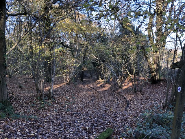
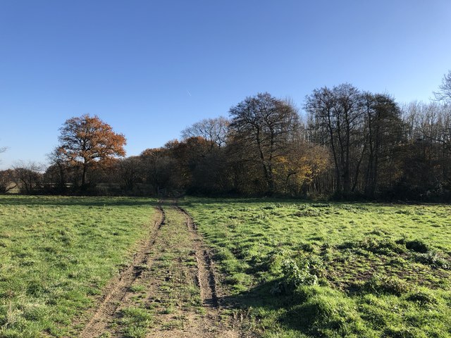
Covering an area of approximately 200 acres, Cooksland Hanger is predominantly composed of mixed woodland, with a variety of tree species including oak, beech, birch, and ash. The hanger is known for its rich biodiversity, providing a habitat for a wide range of flora and fauna. It is particularly renowned for its bluebells, which create a striking carpet of vibrant color during the spring months.

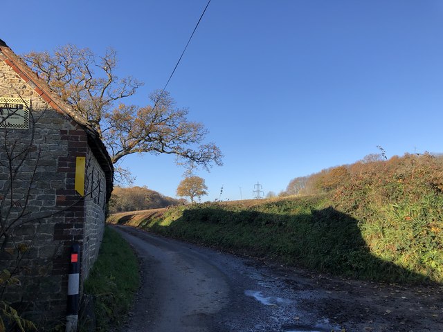
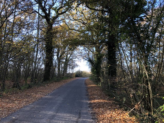
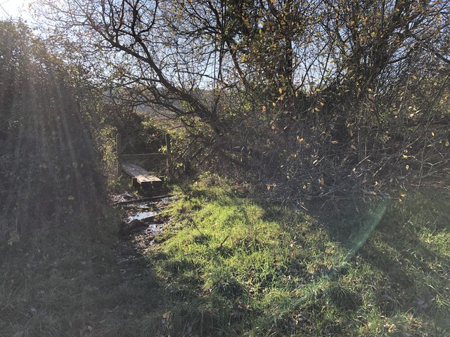
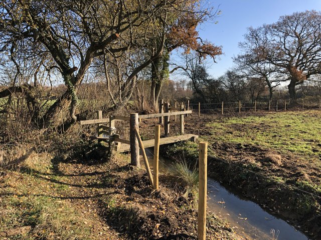
The woodland is crisscrossed by a network of footpaths and trails, making it an ideal location for walking, hiking, and nature exploration. Visitors can enjoy peaceful strolls through the ancient woodland, immersing themselves in the tranquil atmosphere and admiring the natural beauty that surrounds them.

Cooksland Hanger is also a popular spot for birdwatching, with a variety of bird species making their homes in the woodland. From songbirds to woodpeckers, visitors may have the chance to spot and observe a diverse array of avian life.

Overall, Cooksland Hanger in Sussex is a picturesque woodland that offers a peaceful retreat for nature lovers and outdoor enthusiasts. With its diverse flora and fauna, stunning views, and well-maintained trails, it provides a perfect opportunity to connect with nature and enjoy the beauty of the Sussex countryside.

If you have any feedback on the listing, please let us know in the comments section below.

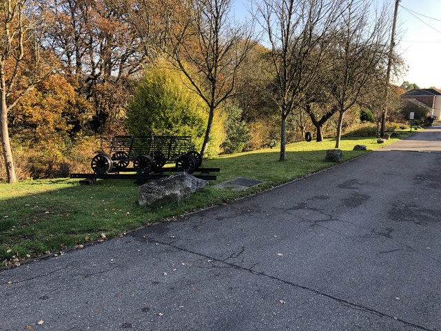
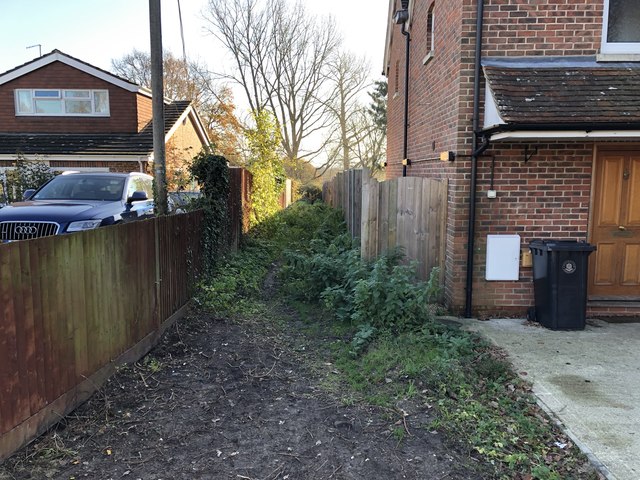
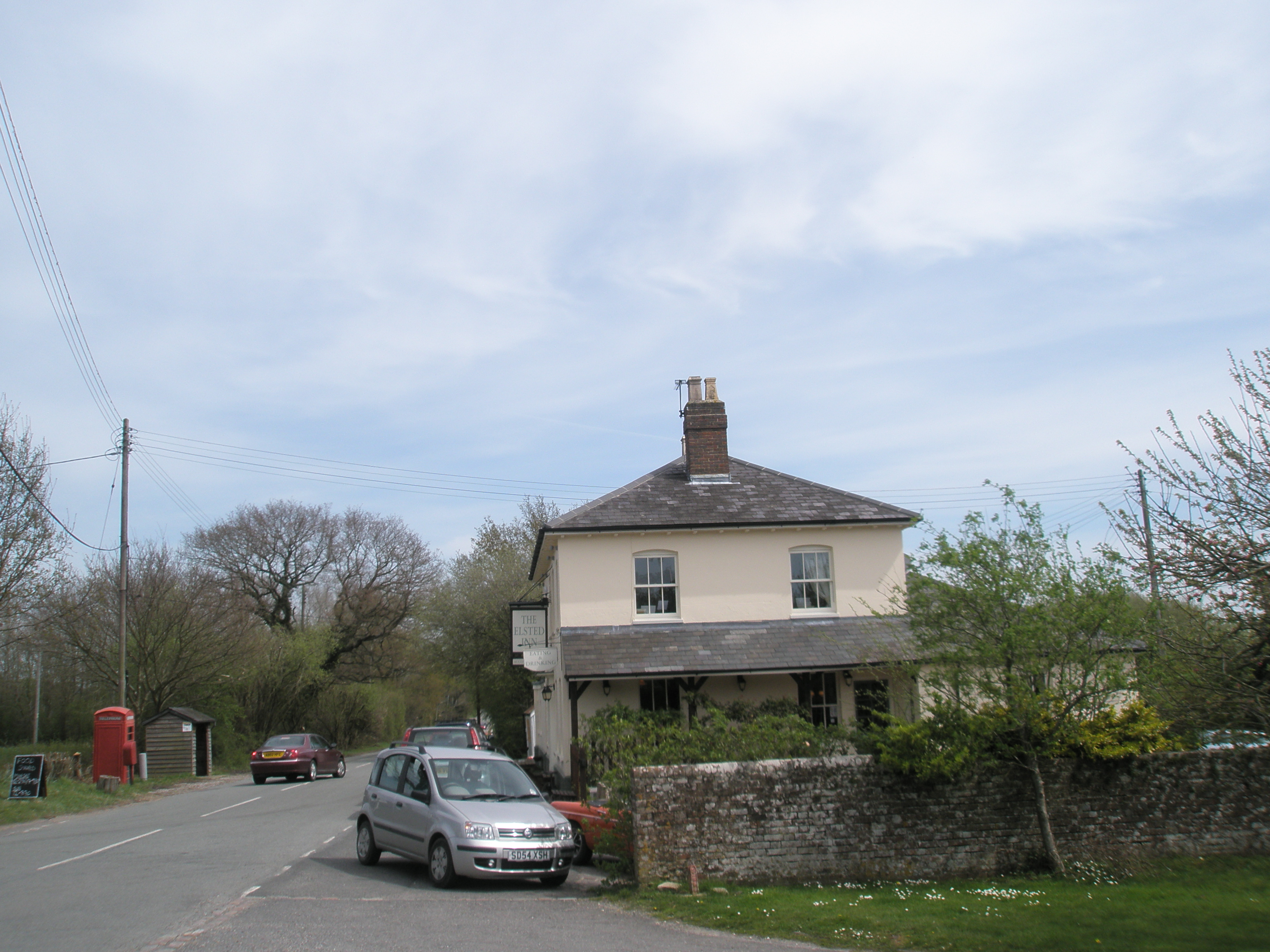
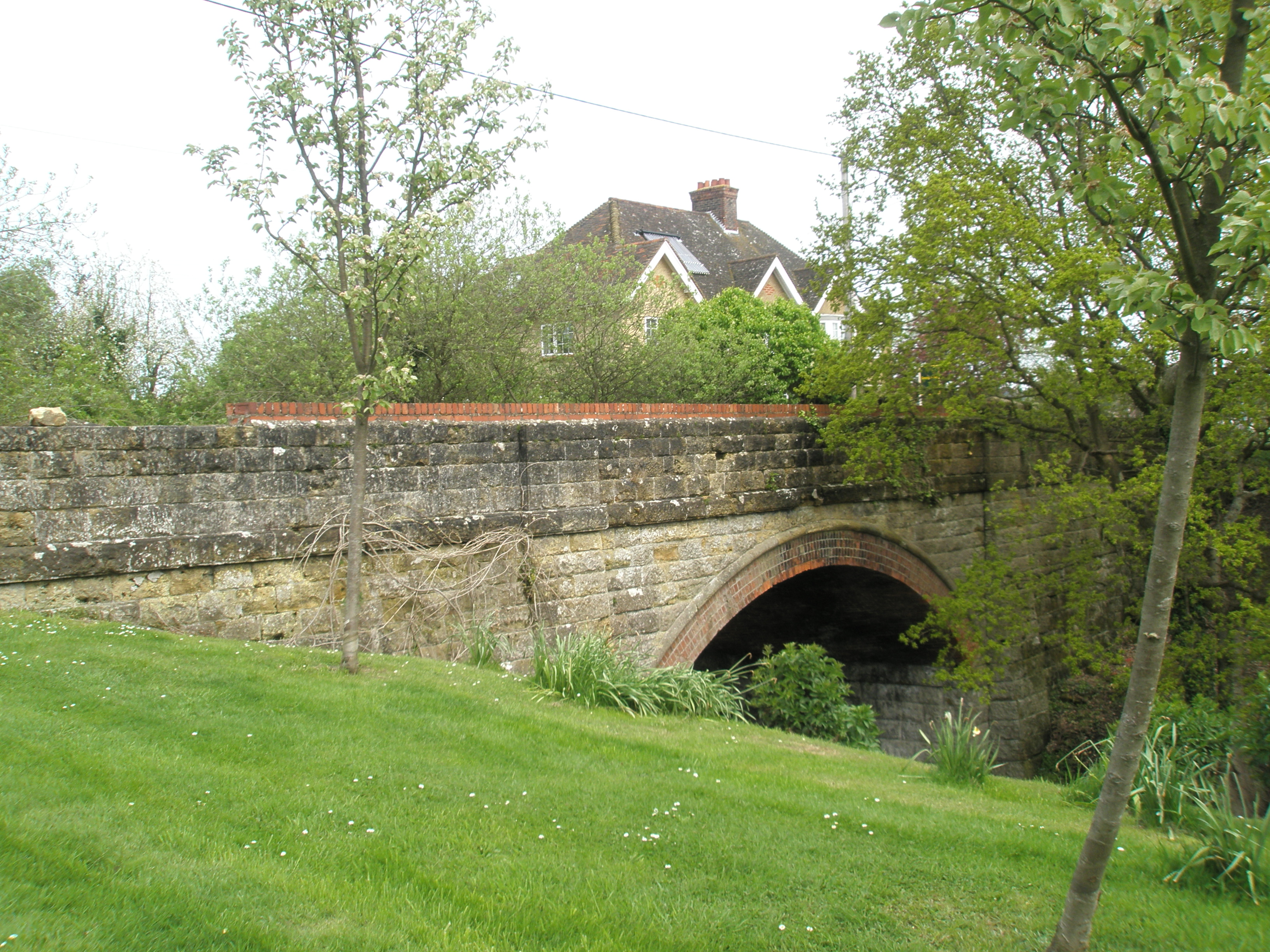
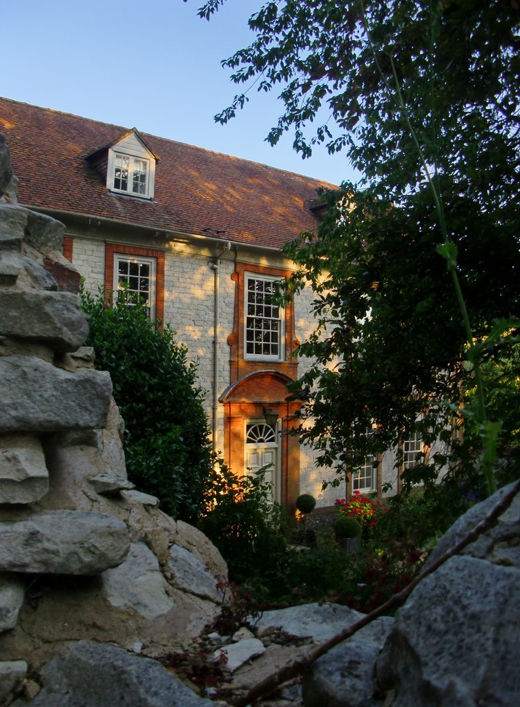
Cooksland Hanger Images

Images are sourced within 2km of 50.97534/-0.84064853 or Grid Reference SU8120. Thanks to Geograph Open Source API. All images are credited.

Fields beside Dumpford Lane The fields beside Dumpford Lane with distant views of the South Downs.
Fields beside Dumpford Lane
The fields beside Dumpford Lane with distant views of the South Downs.
South Downs Manor The Hotel on Dumpford Lane.
South Downs Manor
The Hotel on Dumpford Lane.
Entrance to Dumpford Park Farm Passing the entrance to the farm beside Dumpford Lane.
Entrance to Dumpford Park Farm
Passing the entrance to the farm beside Dumpford Lane.
Track to New Barn Viewed from the starting point on Dumpford Lane.
Track to New Barn
Viewed from the starting point on Dumpford Lane.
Barn beside Dumpford Lane Heading west on Dumpford Lane close to Tygalls Farm.
Barn beside Dumpford Lane
Heading west on Dumpford Lane close to Tygalls Farm.
Track through Clarefield Copse The track as it heads north from Dumpford Lane. It is also a public footpath.
Track through Clarefield Copse
The track as it heads north from Dumpford Lane. It is also a public footpath.
Clarefield Copse Heading westwards on Dumpford Lane as it passes through Clarefield Copse.
Clarefield Copse
Heading westwards on Dumpford Lane as it passes through Clarefield Copse.
Track beside Clarefield Copse The track leaving Dumpford Lane with distant views of the South Downs.
Track beside Clarefield Copse
The track leaving Dumpford Lane with distant views of the South Downs.
Dumpford Lane near Nyewood Heading westwards on Dumpford Lane and approaching Nyewood.
Dumpford Lane near Nyewood
Heading westwards on Dumpford Lane and approaching Nyewood.
Site of former railway station The site of the former Rogate railway station on the old Petersfield to Midhurst line.
Site of former railway station
The site of the former Rogate railway station on the old Petersfield to Midhurst line.
Footpath between houses The public footpath leaves Nyewood heading towards Elsted.
Footpath between houses
The public footpath leaves Nyewood heading towards Elsted.
Footbridge over muddy area A footbridge on the public footpath heading towards Elsted.
Footbridge over muddy area
A footbridge on the public footpath heading towards Elsted.
New Footbridge The public footpath passes through an area where a new footbridge and fence posts seem to have been recently installed and the stream cleared.
New Footbridge
The public footpath passes through an area where a new footbridge and fence posts seem to have been recently installed and the stream cleared.
Passing Great Plantation On the public footpath heading towards Elsted and passing the woodland known as Great Plantation.
Passing Great Plantation
On the public footpath heading towards Elsted and passing the woodland known as Great Plantation.
Fields near Woodhouse Farm Looking west at the point where the public footpath crosses between fields.
Fields near Woodhouse Farm
Looking west at the point where the public footpath crosses between fields.
Woodhouse Farm Passing through the farm on the public footpath.
Woodhouse Farm
Passing through the farm on the public footpath.
Approaching Woodland Heading away from Woodhouse Farm and nearing woodland marked on the OS Map as The Hassocks.
Approaching Woodland
Heading away from Woodhouse Farm and nearing woodland marked on the OS Map as The Hassocks.
Redundant Stile The footpath into the woodland crosses a small footbridge without any need to have climbed over the nearby stile.
Redundant Stile
The footpath into the woodland crosses a small footbridge without any need to have climbed over the nearby stile.
Show me another place!

Cooksland Hanger is located at Grid Ref: SU8120 (Lat: 50.97534, Lng: -0.84064853)

Administrative County: West Sussex

District: Chichester

Police Authority: Sussex

What 3 Words

///ulterior.stacks.soft. Near South Harting, West Sussex

Related Wikis

Elsted

Elsted is a village, Anglican parish and former civil parish, now in the civil parish of Elsted and Treyford, in the Chichester district of West Sussex...

Elsted and Treyford

Elsted and Treyford is a civil parish in the Chichester district of West Sussex, west of Midhurst. It contains the settlements of Elsted, Elsted Marsh...

East Harting

East Harting is a hamlet in the Chichester district of West Sussex, England. It lies on the South Harting to Elsted road 4 miles (6.4 km) southeast of...

Elsted railway station

Elsted railway station served the village of Elsted in the county of West Sussex in England. The village itself was a mile away to the south-west. The...

Rogate railway station

Rogate railway station, also known variously as Rogate for Harting, and Rogate and Harting, supposedly served these two villages in the county of West...

Beacon Hill, West Sussex

Beacon Hill, also known as Harting Beacon, is a hillfort on the South Downs, in the county of West Sussex in southern England. The hillfort is located...

Treyford

Treyford is a hamlet, Anglican parish and former civil parish, now in the civil parish of Elsted and Treyford, in the Chichester district of West Sussex...

Nyewood

Nyewood is a hamlet in the Chichester district of West Sussex, England situated in the Western Rother valley. The village is on an unclassified road between...

Nearby Amenities

Located within 500m of 50.97534,-0.84064853
Church Farm House
Landuse: farm
Note Retag: CS #48756035
Lat/Long: 50.9719/-0.839814
The data included in this document is from www.openstreetmap.org. The data is made available under ODbL.

Have you been to Cooksland Hanger?

Leave your review of Cooksland Hanger below (or comments, questions and feedback).